Logo
Blog
To the map
Blog header image

Snowshoeing from Zermatt by public transport

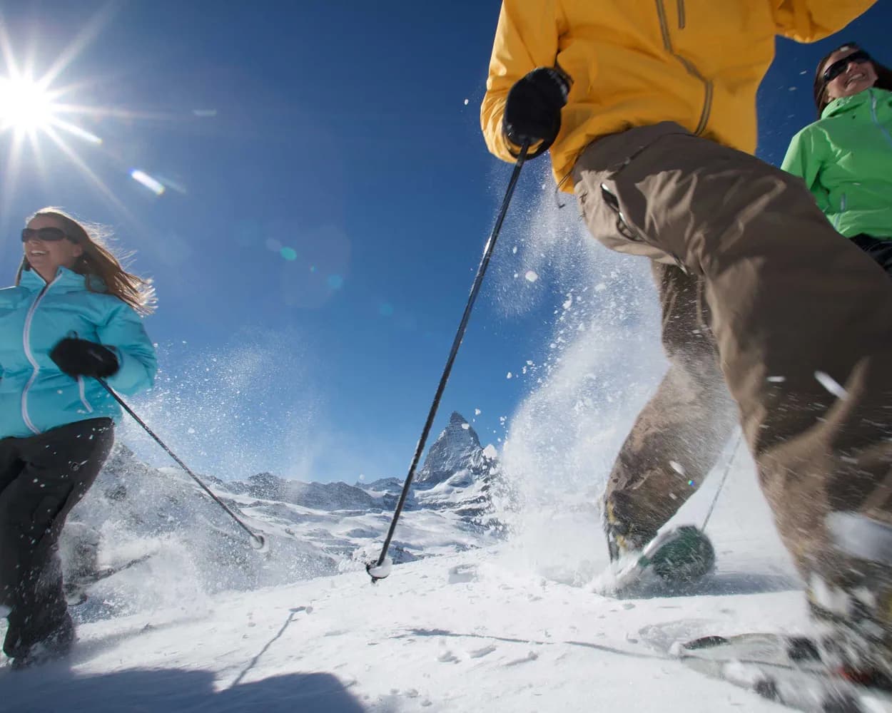
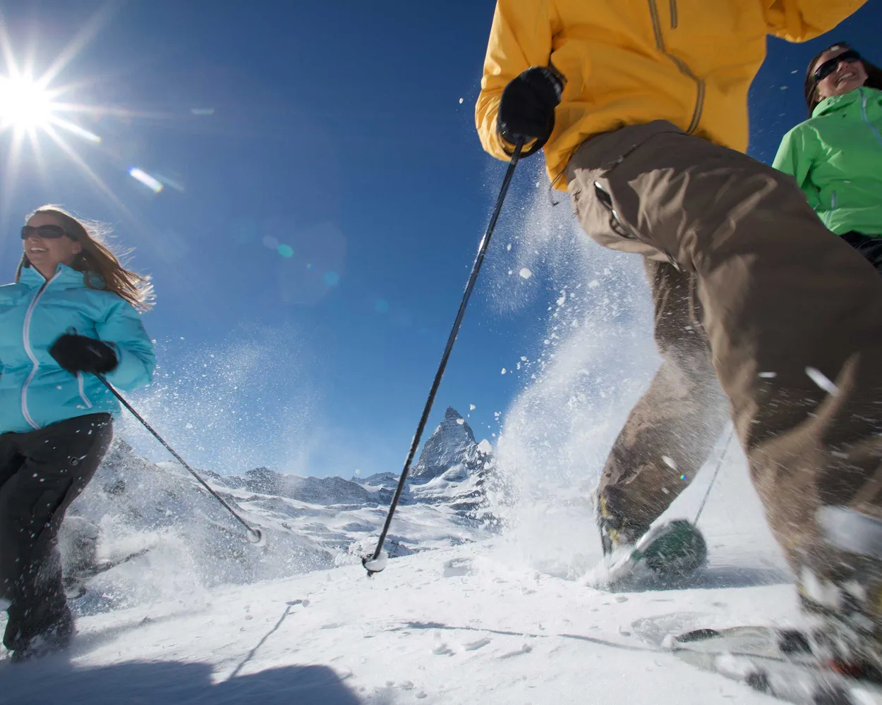
Discover a winter wonderland on these snowshoe hikes, all easily reachable from Zermatt by public transport. Snow-covered forests, wide alpine plateaus, and scenic routes offer memorable experiences in the heart of the Alps.

To make planning easier, the hikes below are sorted by travel time from Zermatt. Explore the map to find all snowshoe hikes and thousands of other outdoor activities accessible from anywhere in Switzerland.

Much more on ovunta.com/en/map
Discover other activities close to Zermatt

  • Cross-country skiing resorts from Zermatt by public transport
  • Unforgettable Hikes Around Zermatt
  • Winter Hikes from Zermatt by public transport
  • Sledging runs from Zermatt by public transport
  • Ride the Rails, Hit the Slopes: Transit-Reachable Ski Areas Near Zermatt

Start from elsewhere?

  • Snowshoeing from Sion by public transport
  • Snowshoeing from Visp by public transport
  • Snowshoeing from Evolène by public transport
1/10

Nordwand Trail

Minimum travel time: 27m to Furi

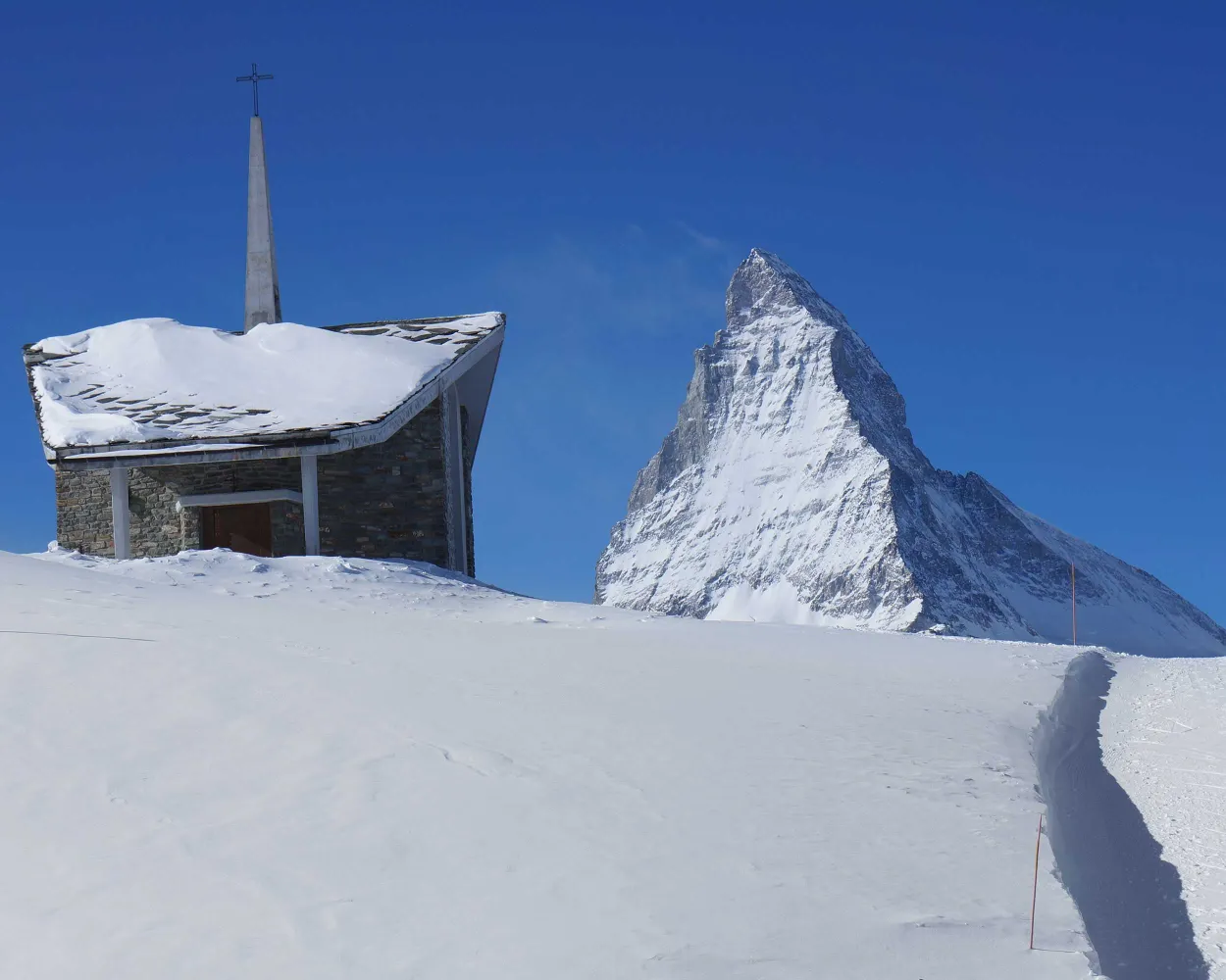
A snowshoe trail that runs from Schwarzsee to below the steep northern face of the Matterhorn, passing through the splendid village of Stafelalp. A stunning sight!

dist8 km
|
asce40 m
|
desc760 m
|
dura3h 10m

    Tour published by:

    SwitzerlandMobility

    Learn more on
    schweizmobil.ch

    How to get to Nordwand Trail

    Fastest connection from Zermatt to Furi: 27m
    Walk from to
    2280 (7m)
    Search Connections & Buy Tickets on SBB
    2/10

    Panorama Trail

    Minimum travel time: 28m to Riffelberg

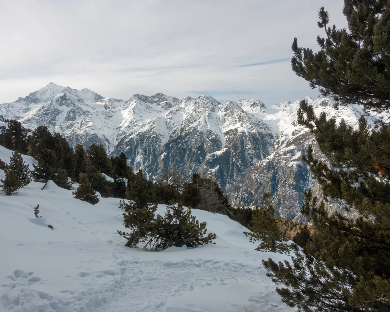
    Discover some magical places with this snowshoe hike between Rotenboden and Riffelberg. You’ll also pass alongside the still waters of Riffelsee lake, a unique sight.

    dist3 km
    |
    asce30 m
    |
    desc260 m
    |
    dura1h 10m

      Tour published by:

      SwitzerlandMobility

      Learn more on
      schweizmobil.ch

      How to get to Panorama Trail

      Fastest connection from Zermatt to Riffelberg: 28m
      Walk from to
      48 (23m)
      Search Connections & Buy Tickets on SBB
      3/10

      Hannigalp–Wannihorn Trail

      Minimum travel time: 1h 26m to Hannigalp (Bergst. Grächen)

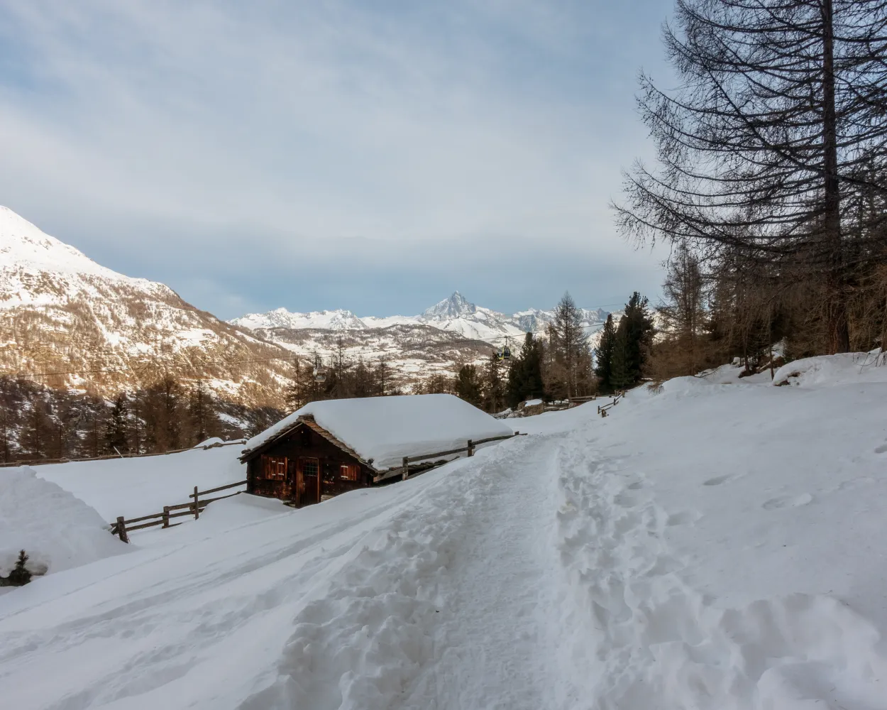
      This route from Stafelbar to Wannihorn is the royal road amongst Grächen’s snowshoe trails. At the top, your efforts are rewarded by spectacular panoramic views – the Weisshorn, the Bietschhorn beyond the Rhône Valley and, to the east, the Weissmies Group are all guaranteed to cast their spell on you.

      dist5 km
      |
      asce500 m
      |
      desc500 m
      |
      dura3h 20m
      • land

        Landscape: With panoramic views,Onto a mountain peak

      Tour published by:

      SwitzerlandMobility

      Learn more on
      schweizmobil.ch

      How to get to Hannigalp–Wannihorn Trail

      4/10

      Alpe Äbnet–Hannigalp Trail

      Minimum travel time: 1h 26m to Hannigalp (Bergst. Grächen)

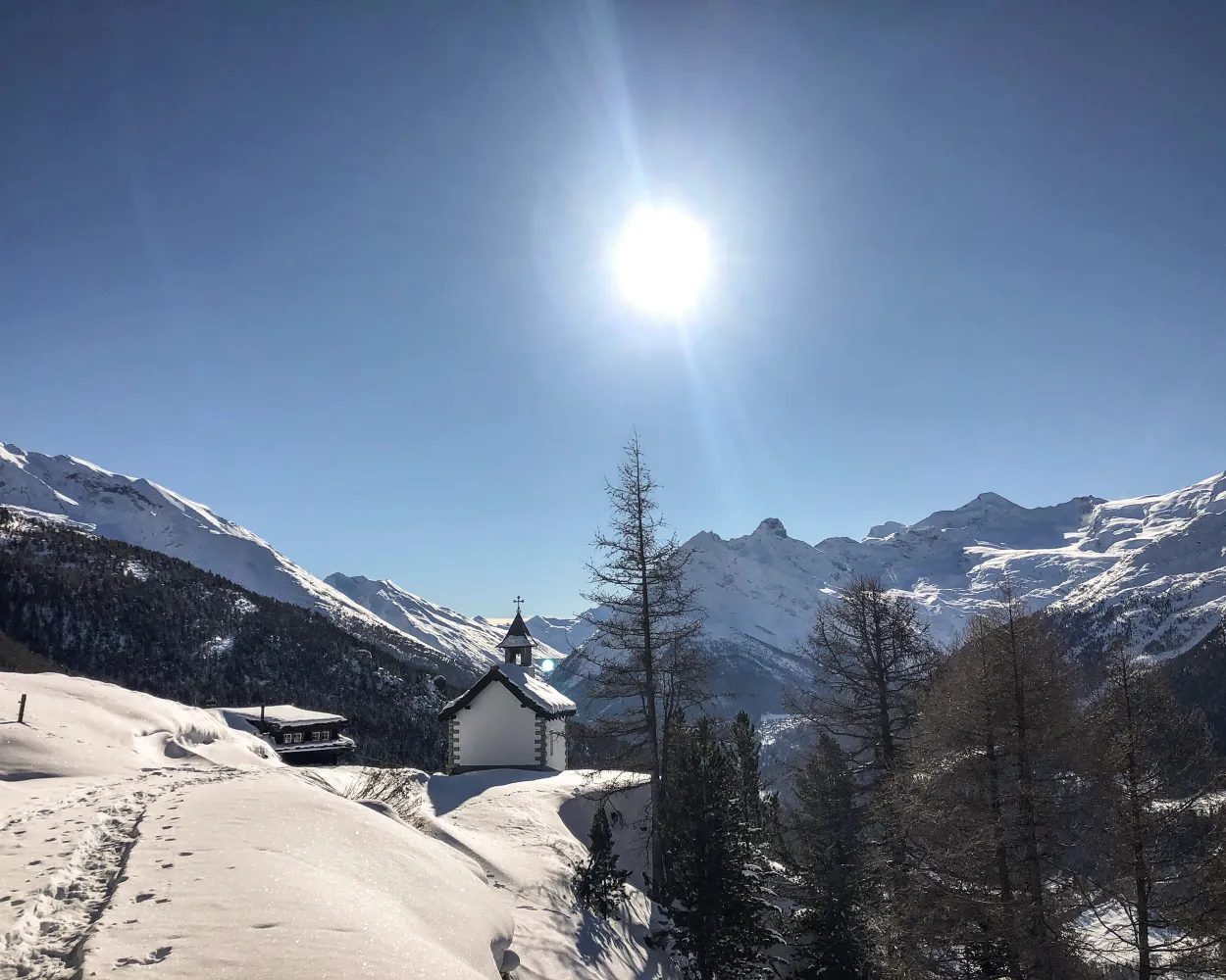
      Attractive snowshoe trail through Grächen’s landscape with views of 14 four-thousand-metre peaks, including the world-famous Matterhorn. The snowshoe trail sets off from Alpe Äbnet. From here, the trail is relatively flat to begin with, becoming steeper as it passes through conifer forests and up to Hannigalp.

      dist3 km
      |
      asce360 m
      |
      desc30 m
      |
      dura1h 50m

        Tour published by:

        SwitzerlandMobility

        Learn more on
        schweizmobil.ch

        How to get to Alpe Äbnet–Hannigalp Trail

        Fastest connection from Zermatt to Hannigalp (Bergst. Grächen): 1h 26m
        R41 (40m)
        Walk from to
        551 (22m)
        Walk from to
        2275 (8m)
        Search Connections & Buy Tickets on SBB
        5/10

        Heimischgarte Trail

        Minimum travel time: 1h 36m to Saas-Balen, Dorf

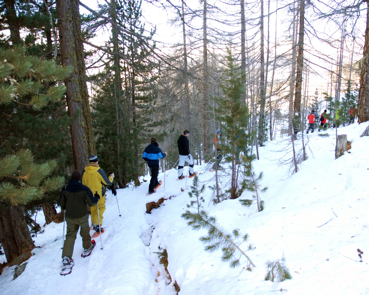
        The trail is not signposted. On the Heimischgarte Trail the Saas Valley shows its quiet side. The delightful snowshoe hike above Saas-Balen leads through the snow-covered “Löübinobodme” natural forest reserve with views of the breathtaking mountains and the glacier landscape.

        dist9 km
        |
        asce640 m
        |
        desc580 m
        |
        dura4h 50m

          Tour published by:

          SwitzerlandMobility

          Learn more on
          schweizmobil.ch

          How to get to Heimischgarte Trail

          Fastest connection from Zermatt to Saas-Balen, Dorf: 1h 36m
          R41 (59m)
          Walk from to
          511 (19m)
          Search Connections & Buy Tickets on SBB
          6/10

          Gspon Trail

          Minimum travel time: 1h 39m to Gspon (Bergstation)

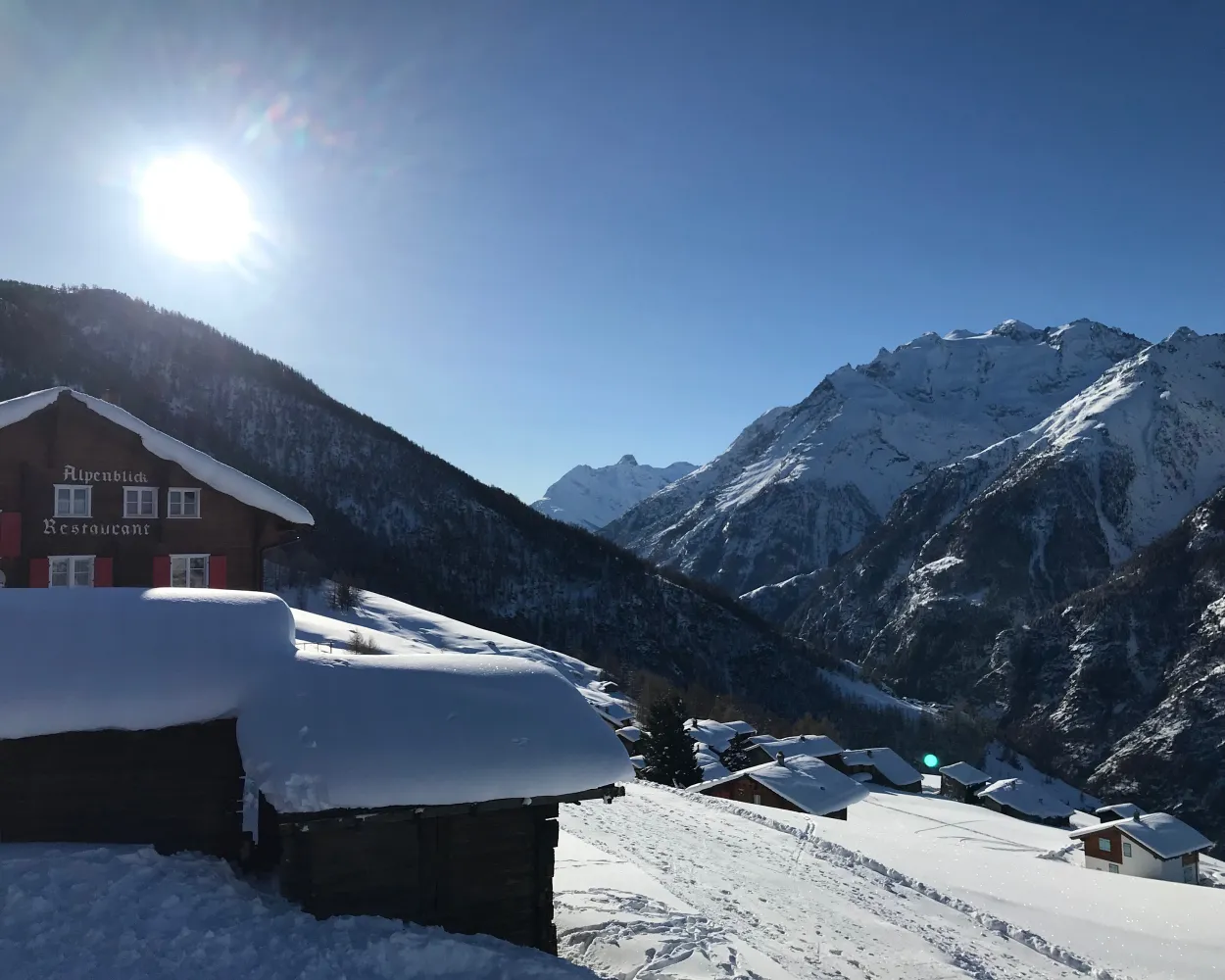
          A snowshoe experience at a height of over 2,000 metres above sea level: the trail leads through the mountain pastures of Gspon, offering virtually uninterrupted views of the village and imposing mountain landscapes. To cap it off, the route goes past Europe’s highest football stadium.

          dist3 km
          |
          asce200 m
          |
          desc200 m
          |
          dura1h 45m

            Tour published by:

            SwitzerlandMobility

            Learn more on
            schweizmobil.ch

            How to get to Gspon Trail

            Fastest connection from Zermatt to Gspon (Bergstation): 1h 39m
            R41 (59m)
            Walk from to
            2270 (7m)
            2271 (6m)
            Search Connections & Buy Tickets on SBB
            7/10

            Waldegga Trail

            Minimum travel time: 1h 39m to Gspon (Bergstation)

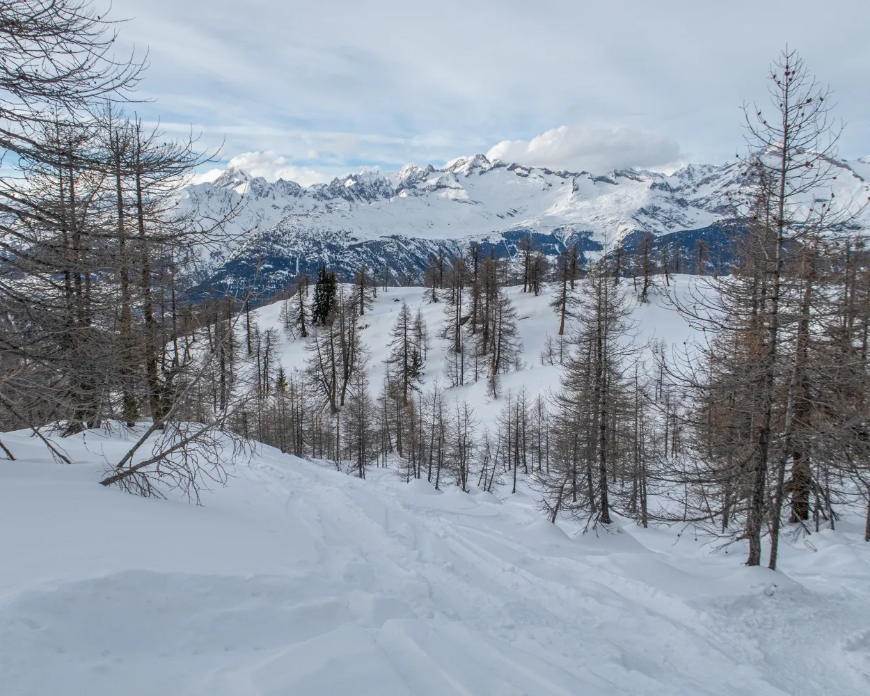
            Past the highest football pitch in Europe and then onto winding paths leading higher and higher – after hiking through the snow-covered larch forest, snowshoe hikers will reach the top of the route with wonderful views of the Bietschhorn, Aletschhorn and Finsteraarhorn.

            dist4 km
            |
            asce220 m
            |
            desc220 m
            |
            dura2h 0m

              Tour published by:

              SwitzerlandMobility

              Learn more on
              schweizmobil.ch

              How to get to Waldegga Trail

              8/10

              Rothwald Trail

              Minimum travel time: 1h 53m to Rothwald, Ganterwald

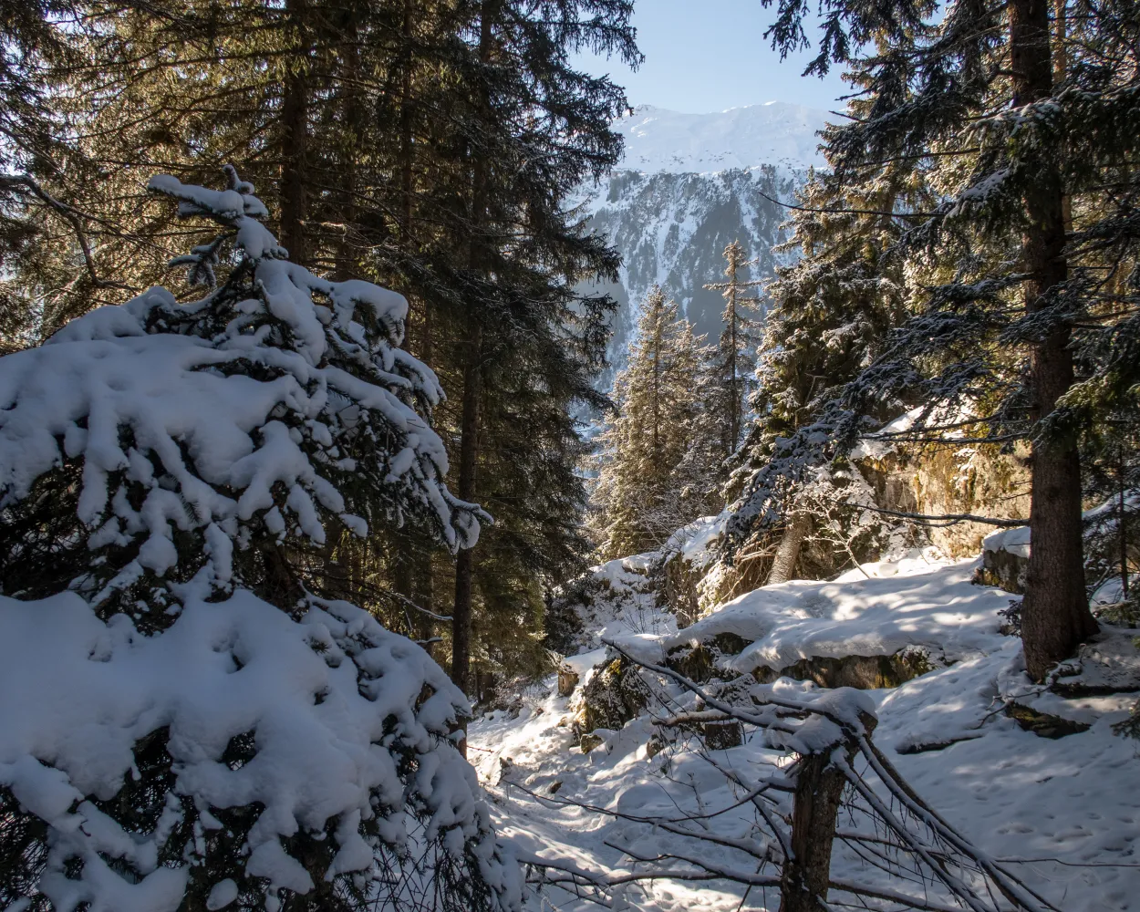
              A winter wonderland in Rothwald – this trail leads through larches up to the Mäderlicka restaurant with views as far as Italy before descending into the Durstbachschlucht gorge. Before starting the journey back, you can make a stop on Wasenalp and enjoy views of the surrounding mountains and the Rhône Valley.

              dist6 km
              |
              asce520 m
              |
              desc560 m
              |
              dura4h 0m

                Tour published by:

                SwitzerlandMobility

                Learn more on
                schweizmobil.ch

                How to get to Rothwald Trail

                Fastest connection from Zermatt to Rothwald, Ganterwald: 1h 53m
                GEX (1h 14m)
                Walk from to
                631 (25m)
                Search Connections & Buy Tickets on SBB
                9/10

                Rischinerwald Trail

                Minimum travel time: 1h 56m to Blatten b. Naters (Belalpbahn)

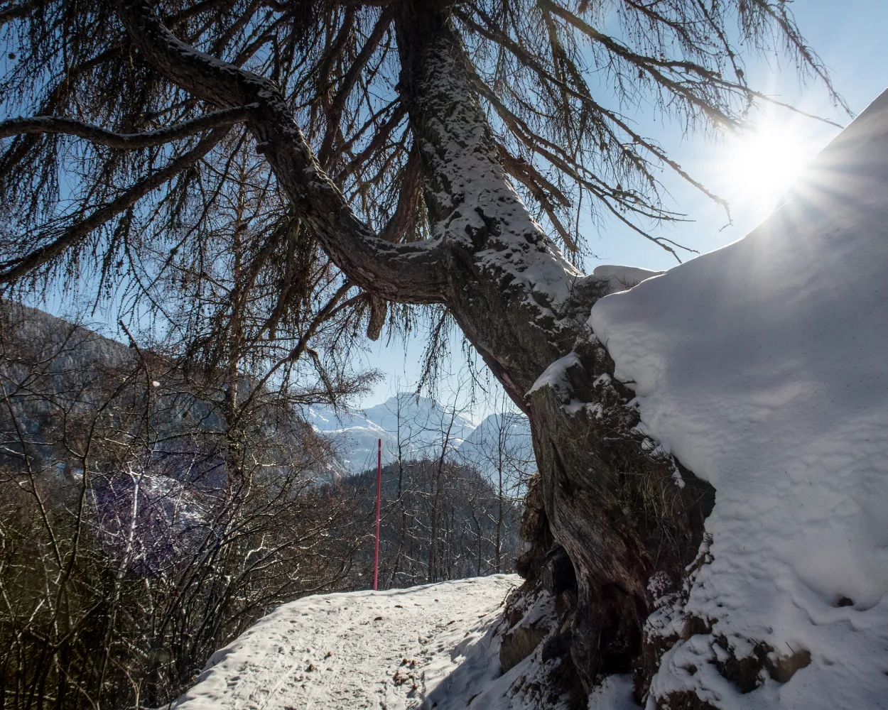
                Starting from Blatten valley station, this short and easy trail takes you through the snow-covered Rischinu Forest. The trail initially passes through hilly landscapes in the direction of the Gibidum dam. It’s worth a detour for the views alone.

                dist4 km
                |
                asce240 m
                |
                desc240 m
                |
                dura2h 5m

                  Tour published by:

                  SwitzerlandMobility

                  Learn more on
                  schweizmobil.ch

                  How to get to Rischinerwald Trail

                  Fastest connection from Zermatt to Blatten b. Naters (Belalpbahn): 1h 56m
                  GEX (1h 14m)
                  Walk from to
                  624 (22m)
                  Walk from to
                  Search Connections & Buy Tickets on SBB
                  10/10

                  Holzji Trail

                  Minimum travel time: 1h 56m to Blatten b. Naters (Belalpbahn)

                  Between the hamlet of Rischinen and Aletschbord, you’ll experience nature at its most beautiful – via the hamlet of Egga with views into the valley, the trail continues until Holzji and the observation post. Once at Aletschbord, you can gaze in wonder at several four-thousand-metre peaks and the Great Aletsch Glacier.

                  dist7 km
                  |
                  asce70 m
                  |
                  desc840 m
                  |
                  dura3h 0m

                    Tour published by:

                    SwitzerlandMobility

                    Learn more on
                    schweizmobil.ch


                    How to get to Holzji Trail