Logo
Blog
To the map
Blog header image

Winter Hikes from Leukerbad by public transport

Relaxed or more challenging: these winter hikes are all reachable from Leukerbad by public transport. From easy panoramic walks to longer alpine routes, there’s something for every level of winter hiker.

The destinations below are sorted by travel time from Leukerbad to make planning easier. Be sure to check the map to explore all winter hikes and thousands of other outdoor activities reachable from any starting point in Switzerland.
Much more on ovunta.com/en/map

Discover other activities close to Leukerbad

  • Cross-country skiing resorts from Leukerbad by public transport
  • Snowshoeing from Leukerbad by public transport
  • Sledging runs from Leukerbad by public transport
  • Explore Swiss ski resorts from Leukerbad: Ski Areas Linked by Train and Bus
  • Scenic Hikes Around Leukerbad

Start from elsewhere?

  • Winter Hikes from Kandersteg by public transport
  • Winter Hikes from Lauterbrunnen by public transport
  • Winter Hikes from Interlaken by public transport
1/10

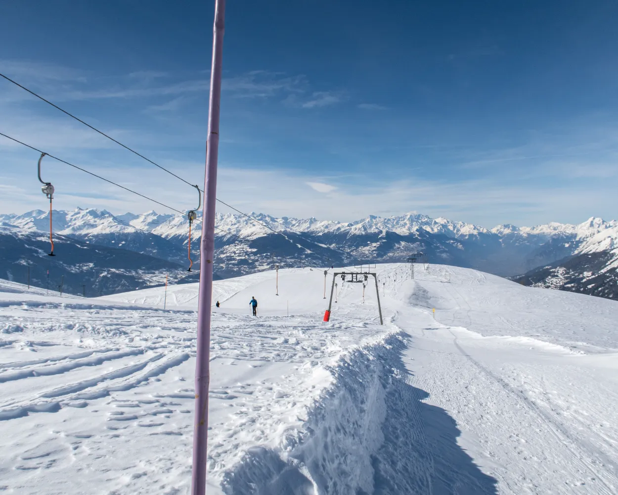
Chemin Cry d’Er–Crans

Minimum travel time: 1h 56m to Crans-Montana, Lac Grenon

After reaching Cry d’Er by cable car, this downhill hike takes you to the centre of Crans. The highlights of this hike are undeniably the omnipresent fantastic view and the sunny terraces along the way.

dist7 km
|
asce820 m
|
desc30 m
|
dura3h 35m

    Tour published by:

    SwitzerlandMobility

    Learn more on
    schweizmobil.ch

    How to get to Chemin Cry d’Er–Crans

    2/10

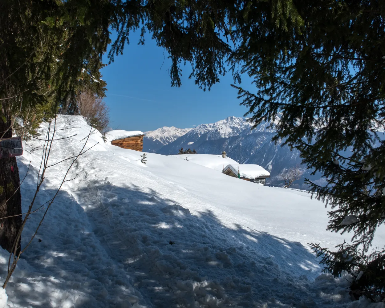
    Chemin Crans–Aminona

    Minimum travel time: 1h 59m to Aminona

    This walk overlooks the resort and takes you from Crans to Aminona, crossing the bottom of the ski area from west to east. The trail alternates between stretches of forest and open areas, offering an unbeatable view of the Valais Alps.

    dist12 km
    |
    asce560 m
    |
    desc500 m
    |
    dura4h 25m

      Tour published by:

      SwitzerlandMobility

      Learn more on
      schweizmobil.ch

      How to get to Chemin Crans–Aminona

      3/10

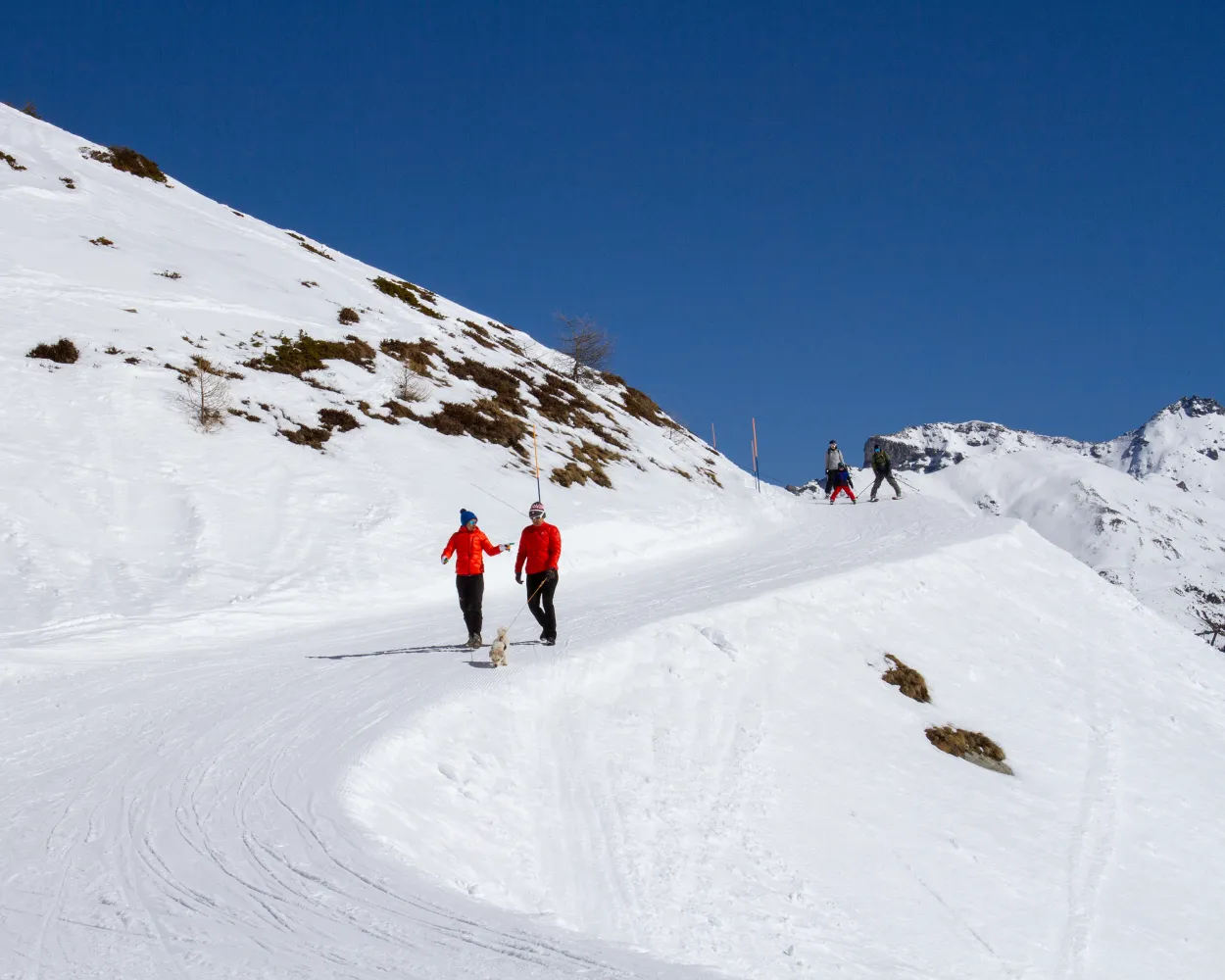
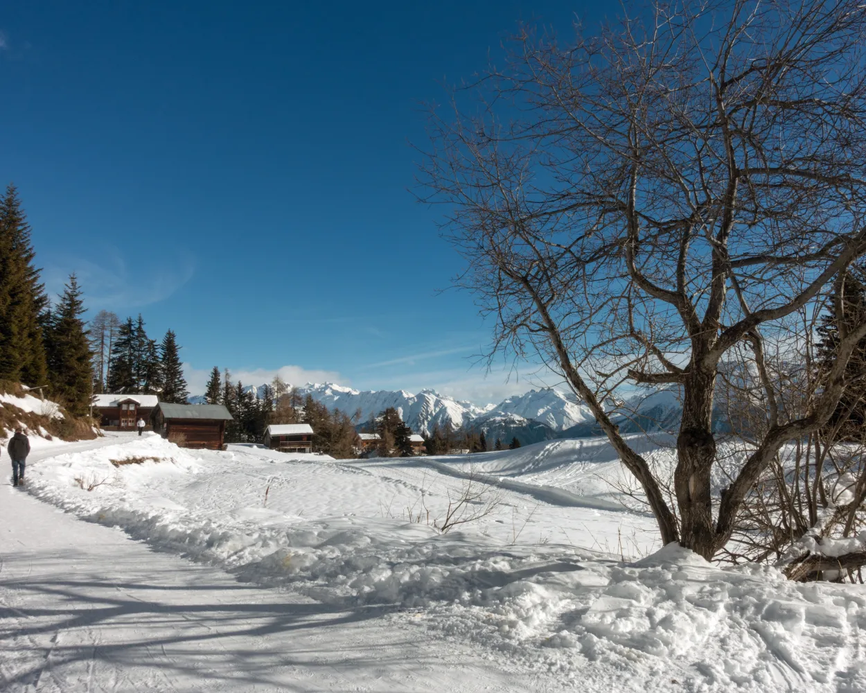
      Panoramaweg Unterbäch–Eischoll

      Minimum travel time: 2h 5m to Brand (Unterbäch)

      The perfectly groomed winter hiking trail leads from Brandalp above Unterbäch all the way to Striigge near Eischoll – an easy walk with fantastic views of the peaks in the Rhone Valley.

      dist6 km
      |
      asce220 m
      |
      desc260 m
      |
      dura2h 5m

        Tour published by:

        SwitzerlandMobility

        Learn more on
        schweizmobil.ch

        How to get to Panoramaweg Unterbäch–Eischoll

        4/10

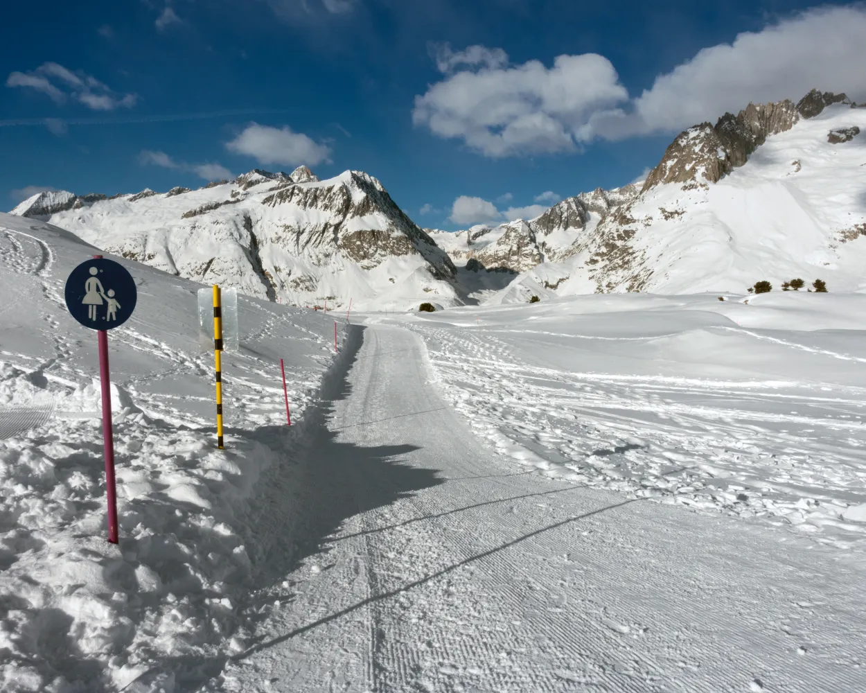
        Chemin Grands Plans–Grimentz

        Minimum travel time: 2h 19m to Grimentz, Roua

        For those who don't like walking uphill, this trail is just the ticket – leading from the mountain station of the Grands Plans down to Grimentz. In several switchbacks, it winds its way partly over the busy ski runs. The leisurely second part leads downhill through the forest.

        dist9 km
        |
        asce30 m
        |
        desc880 m
        |
        dura2h 55m

          Tour published by:

          SwitzerlandMobility

          Learn more on
          schweizmobil.ch

          How to get to Chemin Grands Plans–Grimentz

          5/10

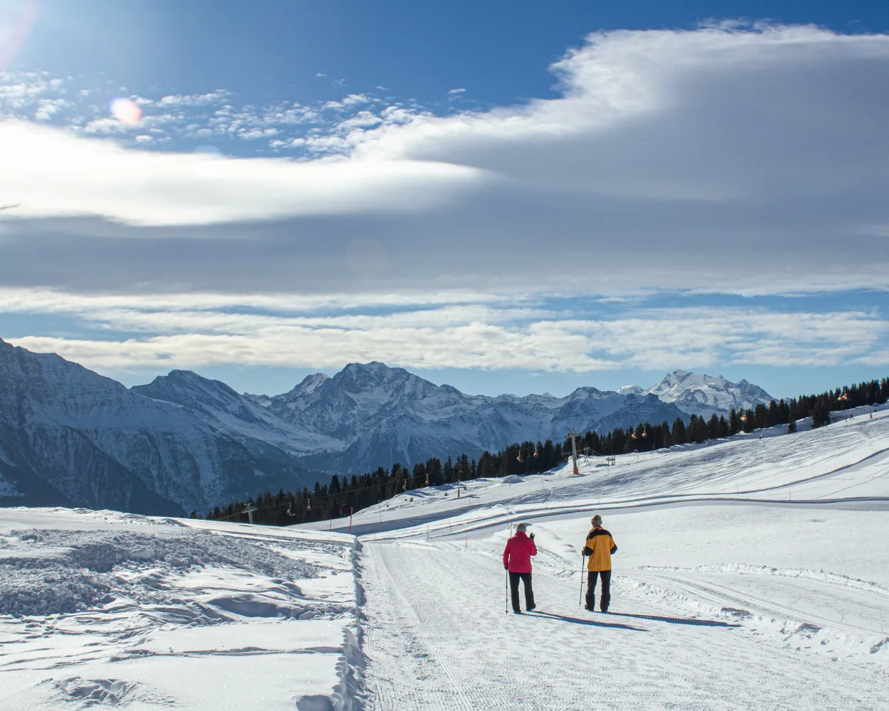
          Winterwanderweg Riederalp–Fiescheralp

          Minimum travel time: 2h 23m to Riederalp West

          This is a classic route and very popular for good reason: The views of the 4000-meter peaks of the Valais along the way are without parallel. The path leads from Bettmeralp via Wurzenbord up to Bättmer-Hitta. A walk through the winter wonderland takes you to Fiescheralp.

          dist9 km
          |
          asce480 m
          |
          desc180 m
          |
          dura3h 25m

            Tour published by:

            SwitzerlandMobility

            Learn more on
            schweizmobil.ch

            How to get to Winterwanderweg Riederalp–Fiescheralp

            6/10

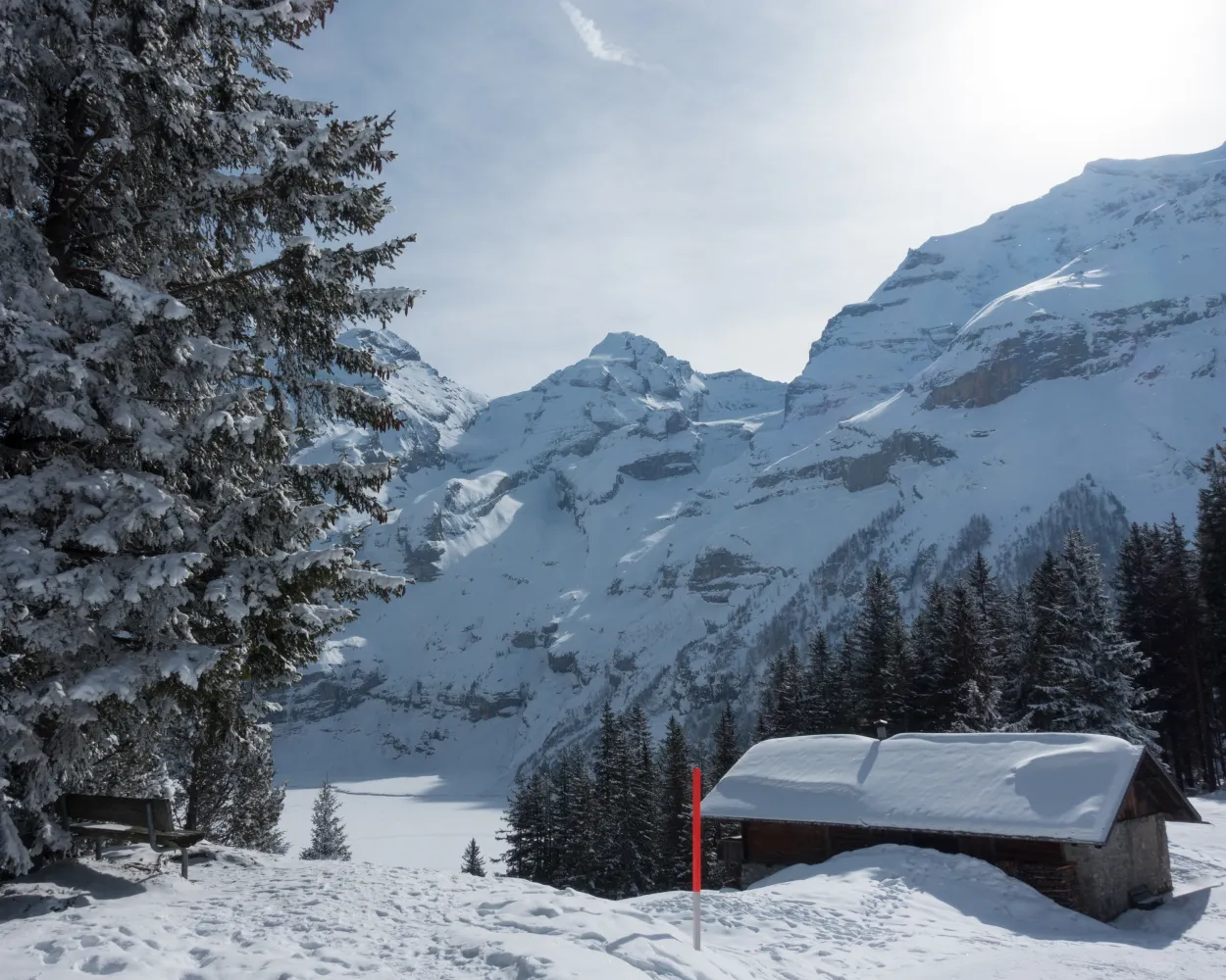
            Winterwanderweg Moosfluh–Riederalp

            Minimum travel time: 2h 23m to Riederalp West

            The fabulous view of the Aletsch Glacier is just one of the reasons for choosing this popular route. It follows Härdernagrat with constant views of the fascinating Alpine landscape of the UNESCO world heritage site. The Victorian-style Villa Cassel, located on the way to Riederalp, is another amazing sight.

            dist5 km
            |
            asce90 m
            |
            desc500 m
            |
            dura1h 55m

              Tour published by:

              SwitzerlandMobility

              Learn more on
              schweizmobil.ch

              How to get to Winterwanderweg Moosfluh–Riederalp

              7/10

              Winterwanderweg Bettmersee-Gopplerlücke

              Minimum travel time: 2h 24m to Riederalp Mitte

              Relaxing winter hike with a view – there are no challenging ascents to overcome on this tour. Nevertheless, it offers magnificent views across the sunny plateau and the Valais mountains, including the Matterhorn.

              dist6 km
              |
              asce220 m
              |
              desc240 m
              |
              dura2h 0m

                Tour published by:

                SwitzerlandMobility

                Learn more on
                schweizmobil.ch


                How to get to Winterwanderweg Bettmersee-Gopplerlücke

                8/10

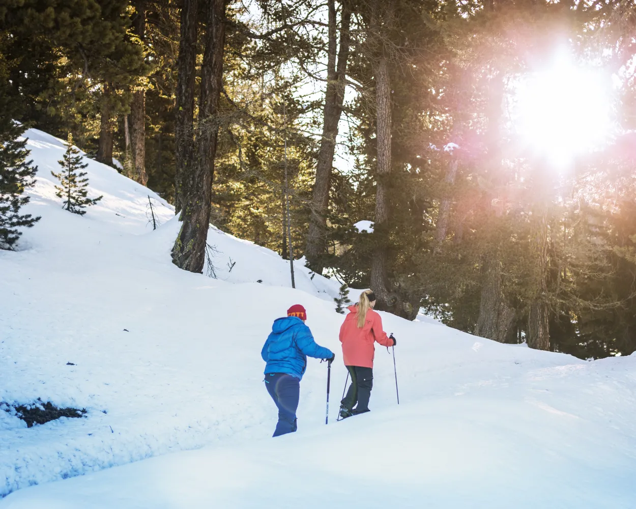
                Oeschinensee-Rundweg

                Minimum travel time: 2h 27m to Oeschinen (Bergstation)

                A fairytale like winter wonderland, combined with a thick layer of ice and steep rock faces. Winterhiking at the Oeschinensee impresses with all elements that winter offers.

                dist4 km
                |
                asce140 m
                |
                desc140 m
                |
                dura1h 20m
                • land

                  Landscape: With panoramic views,Along the water

                Tour published by:

                SwitzerlandMobility

                Learn more on
                schweizmobil.ch

                How to get to Oeschinensee-Rundweg

                9/10

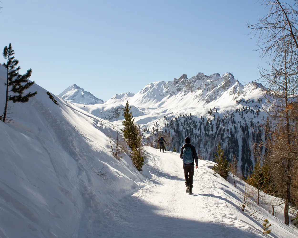
                Winterwanderweg Fiesch–Fieschertal

                Minimum travel time: 2h 31m to Fiesch

                This hike is perfect for fans of winter forest hikes. The view of Fiesch can be enjoyed at every stage of the walk. From the Aletsch Zoo, the two-hour winter hike leads through the alder forest on a slight hill parallel to the Wysswasser glacier creek to Fieschertal.

                dist6 km
                |
                asce150 m
                |
                desc150 m
                |
                dura1h 50m

                  Tour published by:

                  SwitzerlandMobility

                  Learn more on
                  schweizmobil.ch

                  How to get to Winterwanderweg Fiesch–Fieschertal

                  10/10

                  Chemin Tignousa–Hôtel Weisshorn

                  Minimum travel time: 2h 32m to Tignousa

                  This hike on the edge of the ski area passes through our solar system: the Trail of Planets leads to the historic Hotel Weisshorn, considered the pearl of Val d'Anniviers. On the way: breathtaking views of the valley floor and the 4,000-metre peaks of Valais.

                  dist11 km
                  |
                  asce400 m
                  |
                  desc400 m
                  |
                  dura3h 40m

                    Tour published by:

                    SwitzerlandMobility

                    Learn more on
                    schweizmobil.ch


                    How to get to Chemin Tignousa–Hôtel Weisshorn
