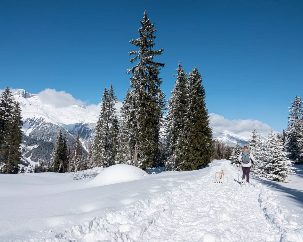
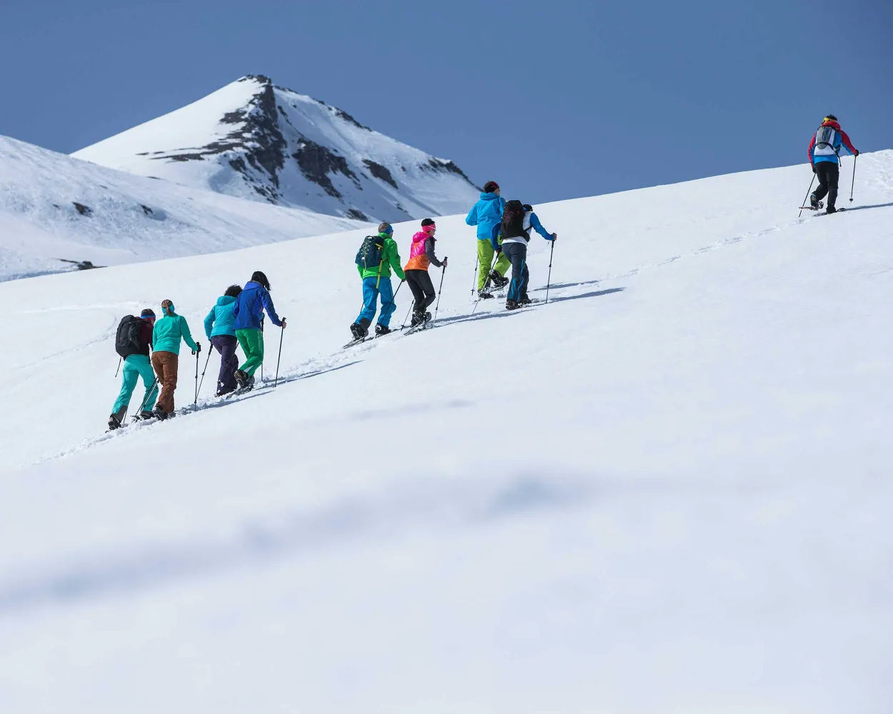
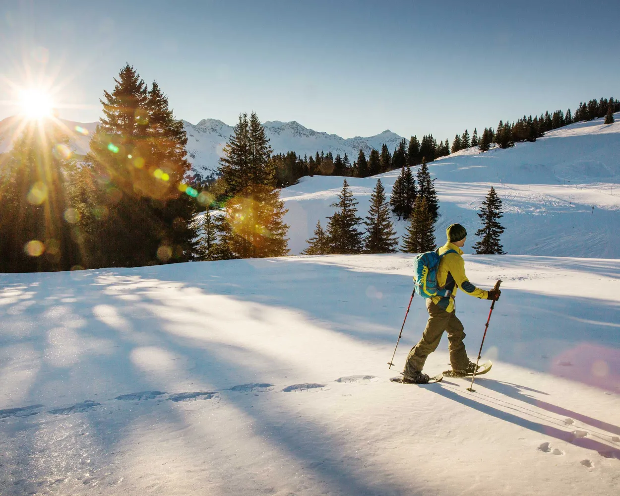
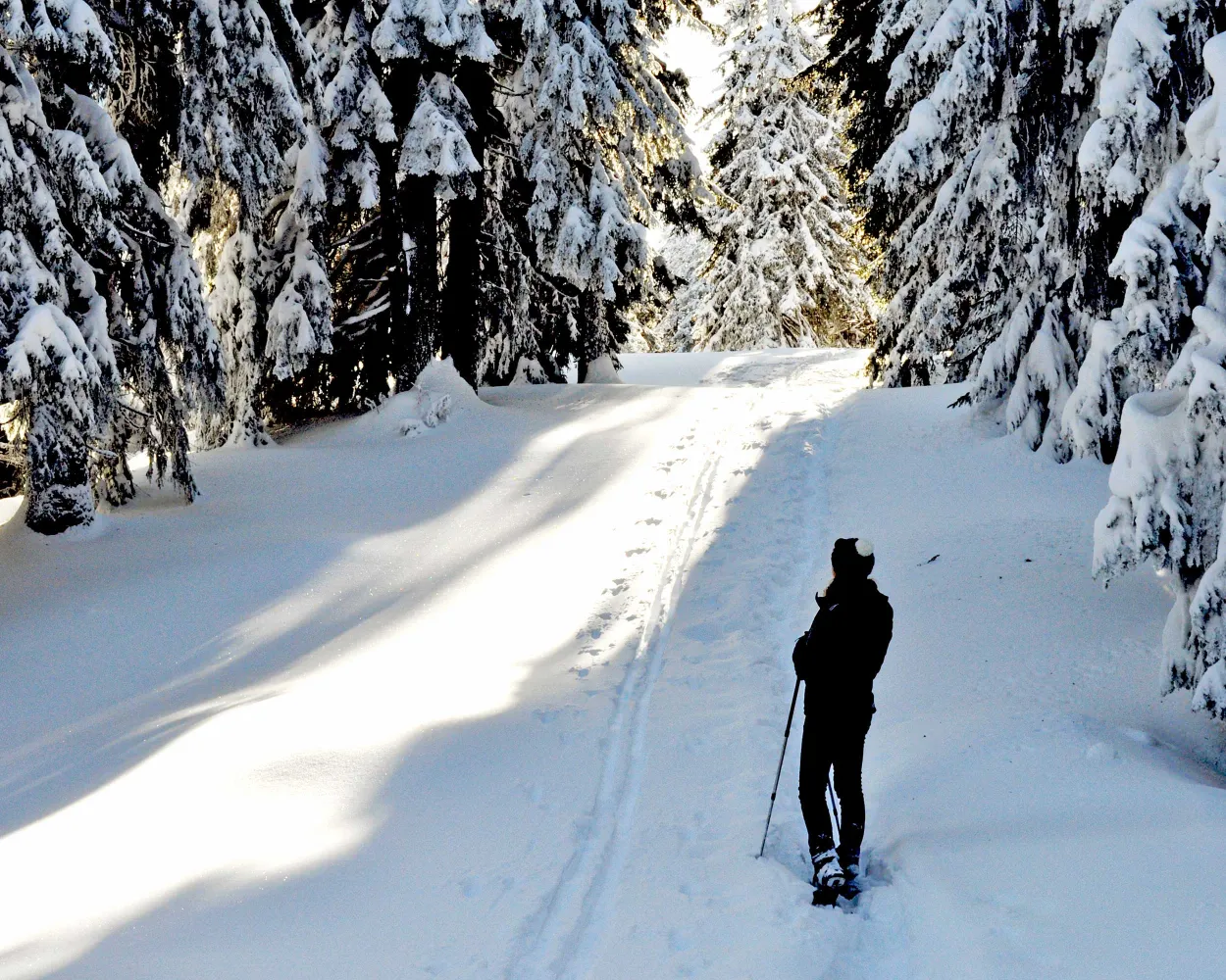
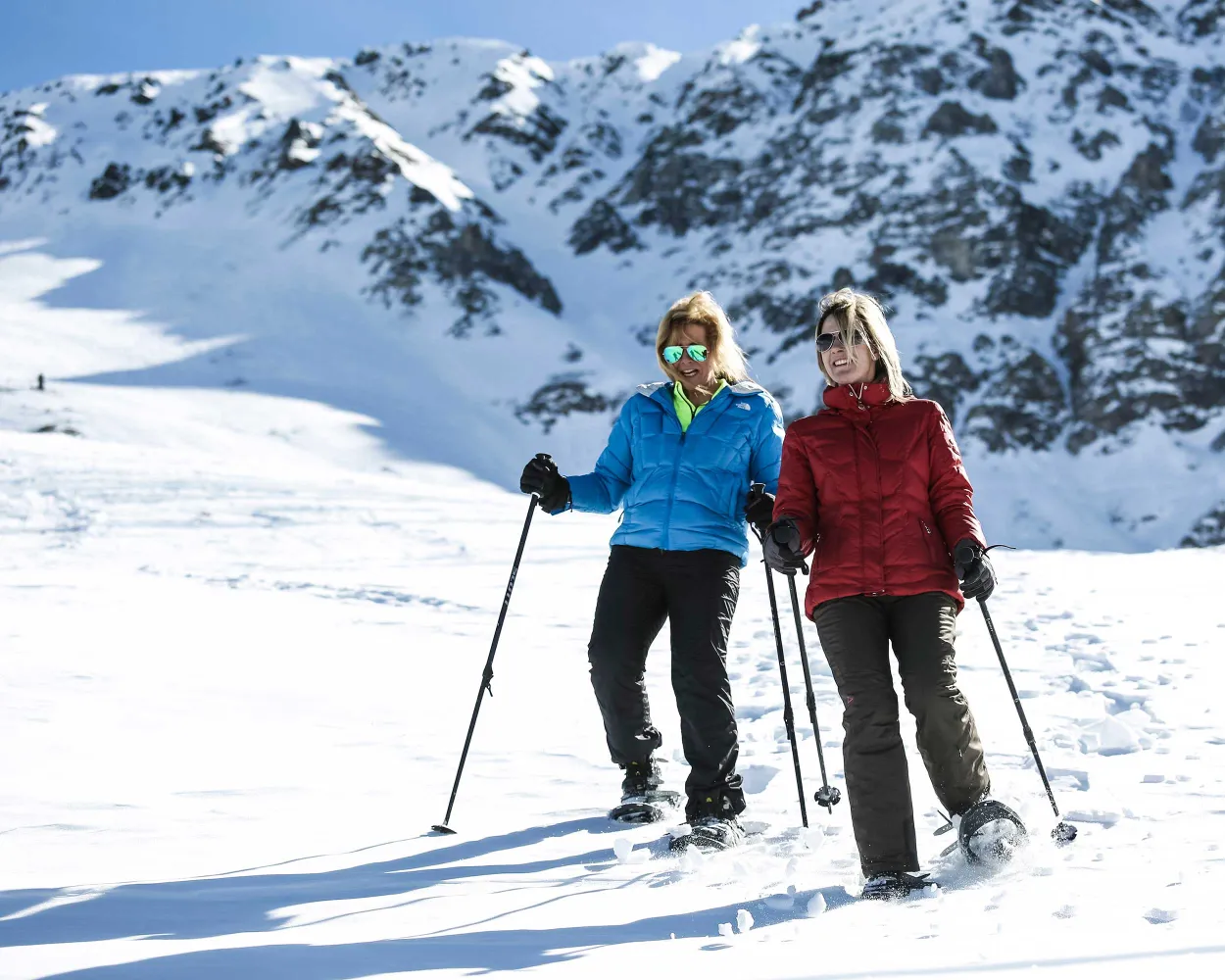
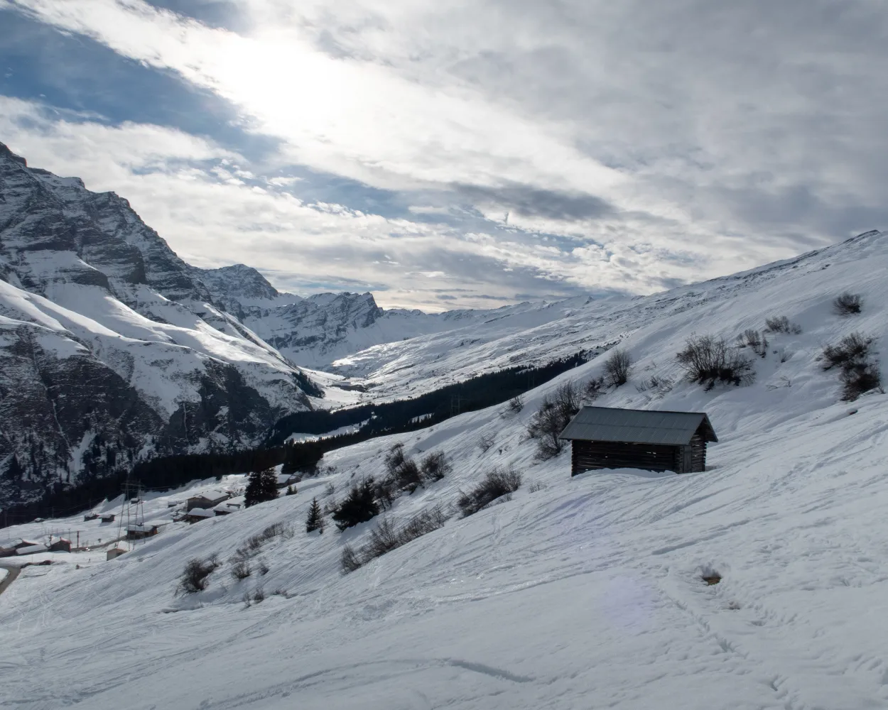
Discover a winter wonderland on these snowshoe hikes, all easily reachable from Disentis by public transport. Snow-covered forests, wide alpine plateaus, and scenic routes offer memorable experiences in the heart of the Alps.
To make planning easier, the hikes below are sorted by travel time from Disentis. Explore the map to find all snowshoe hikes and thousands of other outdoor activities accessible from anywhere in Switzerland.
Much more on ovunta.com/en/map
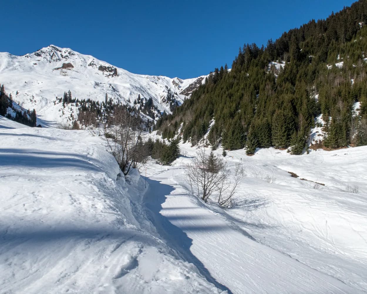
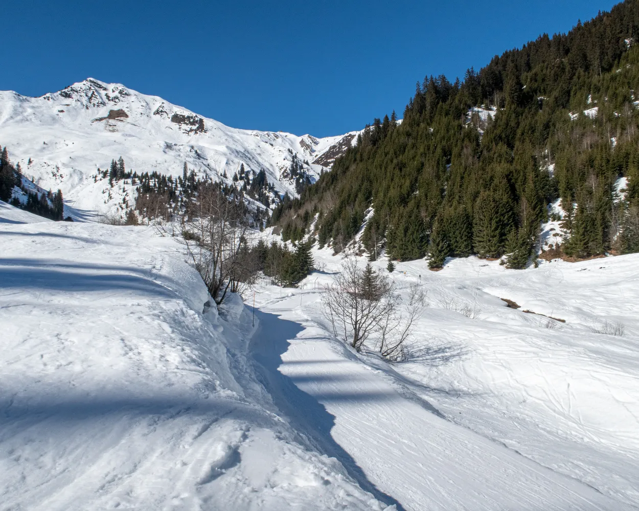
This physically challenging snow shoe tour on the sunny side of Val Medel leads through unspoilt winter landscapes up and beyond the tree line. Tegia Nova offers spectacular views of the peaks of Val Medel and the upper Surselva region.
 10 km
10 km 560 m
560 m 620 m
620 m 4h 50m
Tour published by:
SwitzerlandMobility
Learn more on
schweizmobil.ch
| Disentis/Mustér, staziun/posta (10:01) | |
| 140 (8m) | |
| Curaglia, posta (10:09) |
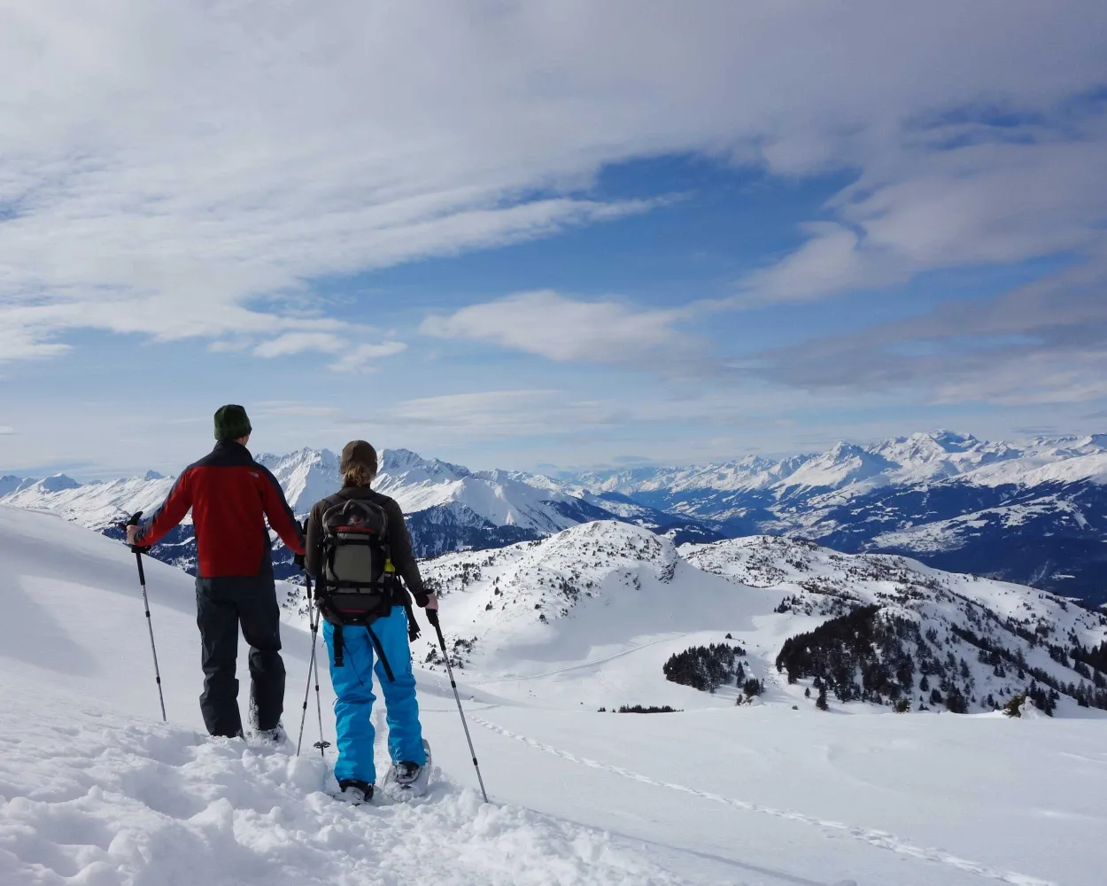
A pleasant climb up through the Val Segnas with views of the Medel glacier. From the viewpoint at Caischavedra, you have a wonderful view right into the Surselva. Then you can take the easy way down in the cable car.
4 km580 m20 m2h 35mTour published by:
SwitzerlandMobility
Learn more on
schweizmobil.ch
| Disentis/Mustér, Vitg Dorfzen (08:40) | |
| 420 (13m) | |
| Segnas, casa da scola (08:53) |
Short cross-country ski trail in the quiet part of Obersaxen. Behind the sleepy hamlet of St. Martin the route immediately begins to climb steeply. Powder snow and panorama are what counts here, on the way to the alpine settlement of Wasma: the views sweep across the plateau of Obersaxen, the Surselva district and the peaks on the other side.
3 km240 m240 m1h 40m
Landscape: Onto a mountain peak,With panoramic views
Tour published by:
SwitzerlandMobility
Learn more on
schweizmobil.ch
| Disentis/Mustér (08:50) | |
| RE7 (38m) | |
| Ilanz (09:28) |
| Ilanz, Bahnhof/Post (09:34) | |
| 451 (45m) | |
| Obersaxen, St. Martin (10:19) |
A snowshoe trail that turns the mountains upside down: the UNESCO tour clearly shows how older rock strata edged their way above younger rocks during the mountain formation.
6 km340 m340 m2h 50mTour published by:
SwitzerlandMobility
Learn more on
schweizmobil.ch
| Disentis/Mustér (08:50) | |
| RE7 (38m) | |
| Ilanz (09:28) |
| Ilanz, Bahnhof/Post (09:34) | |
| 411 (36m) | |
| Flims Dorf, Bergbahnen (10:10) |
| Flims Dorf (Talstation Foppa) (10:12) | |
| 2885 (27m) | |
| Nagens Sura (10:39) |
This tour over the Dreibündenstein connects the regions of Chur and Lenzerheide for snowshoe hikers. Great vistas and an optional downhill run experience make them a real insider tip.
8 km680 m540 m5h 0mTour published by:
SwitzerlandMobility
Learn more on
schweizmobil.ch
Muddy winter weather and snowfall? Not to worry! Since you are almost always in the woods on this easy tour over the Brambrüesch plateau, it can also be completed without problems even if the weather is less than perfect.
3 km160 m160 m1h 30mTour published by:
SwitzerlandMobility
Learn more on
schweizmobil.ch
Tour with a panorama: the varied snowshoe hike on the Dreibündenstein plateau connects the winter sports regions of Brambrüesch and Feldis. Impressive: the well visible Glarus thrust, a UNESCO World Heritage site.
8 km760 m380 m4h 50mLandscape: Onto a mountain peak,With panoramic views
Tour published by:
SwitzerlandMobility
Learn more on
schweizmobil.ch
| Disentis/Mustér (08:50) | |
| RE7 (1h 15m) | |
| Chur (10:05) |
| Chur, Bahnhofplatz (10:13) | |
| 10 (3m) | |
| Chur, Brambrüeschb./Stadthalle (10:16) |
| Chur (Brambrüeschbahn) (10:40) | |
| 2880 (7m) | |
| Känzeli (Chur) (10:47) |
| Känzeli (Chur) (10:49) | |
| 2880 (8m) | |
| Brambrüesch (10:57) |
This snowshoeing tour shows impressively what violence avalanches can have: it leads to the Val Meltger hut, which was built twelve meters above the ground because of the snowmass. Lonely forest trails and a panorama to Mon and Stierva are further highlights of the trail.
6 km300 m300 m2h 40mTour published by:
SwitzerlandMobility
Learn more on
schweizmobil.ch
| Disentis/Mustér (08:50) | |
| RE7 (1h 5m) | |
| Reichenau-Tamins (09:55) |
| Reichenau-Tamins (10:08) | |
| IR38 (35m) | |
| Tiefencastel (10:43) |
| Tiefencastel, staziun (10:50) | |
| 182 (10m) | |
| Lantsch/Lenz, Biathlon Arena (11:00) |

This easy round-trip in direction hamlet Sporz is suitable for snowshoers who have already gained some experience on the terrain.
5 km220 m220 m2h 20mLandscape: With panoramic views,Onto an alp
Tour published by:
SwitzerlandMobility
Learn more on
schweizmobil.ch
| Disentis/Mustér (08:50) | |
| RE7 (1h 15m) | |
| Chur (10:05) |
| Chur, Postautostation (10:30) | |
| 182 (34m) | |
| Lenzerheide/Lai, Altersheim (11:04) |
| Lenzerheide/Lai, Altersheim (11:06) | |
| 191 (1m) | |
| Lenzerheide/Lai, Tankstelle (11:07) |
This charming snowshoe trail passes by idyllic hamlets and the Camana huts, which seem to be strung on a silver thread. The view stretches into the distance throughout the hike: to the striking Piz Beverin peak, the Bruschghorn, the Glas Pass and the far end of the Safien Valley.
5 km340 m420 m2h 50mTour published by:
SwitzerlandMobility
Learn more on
schweizmobil.ch
| Disentis/Mustér (08:50) | |
| RE7 (52m) | |
| Versam-Safien (09:42) |
| Versam-Safien, Bahnhof (10:19) | |
| 401 (48m) | |
| Thalkirch, Mura (11:07) |


