
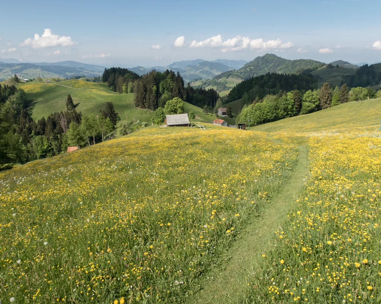
Discover a variety of beautiful hikes easily accessible from Sarnen by public transport. From the Trans Swiss Trail with views of Sarnersee to the Nidwaldner Zentrumsweg showcasing local history, these routes offer diverse landscapes and experiences. Enjoy panoramic vistas of Central Switzerland, explore cool gorges, and traverse alpine meadows on these carefully selected trails.
The following hikes are sorted by travel time from Sarnen, making it easy to plan your next adventure. Check out the map to explore thousands of destinations and activities, reachable from any starting point in Switzerland.
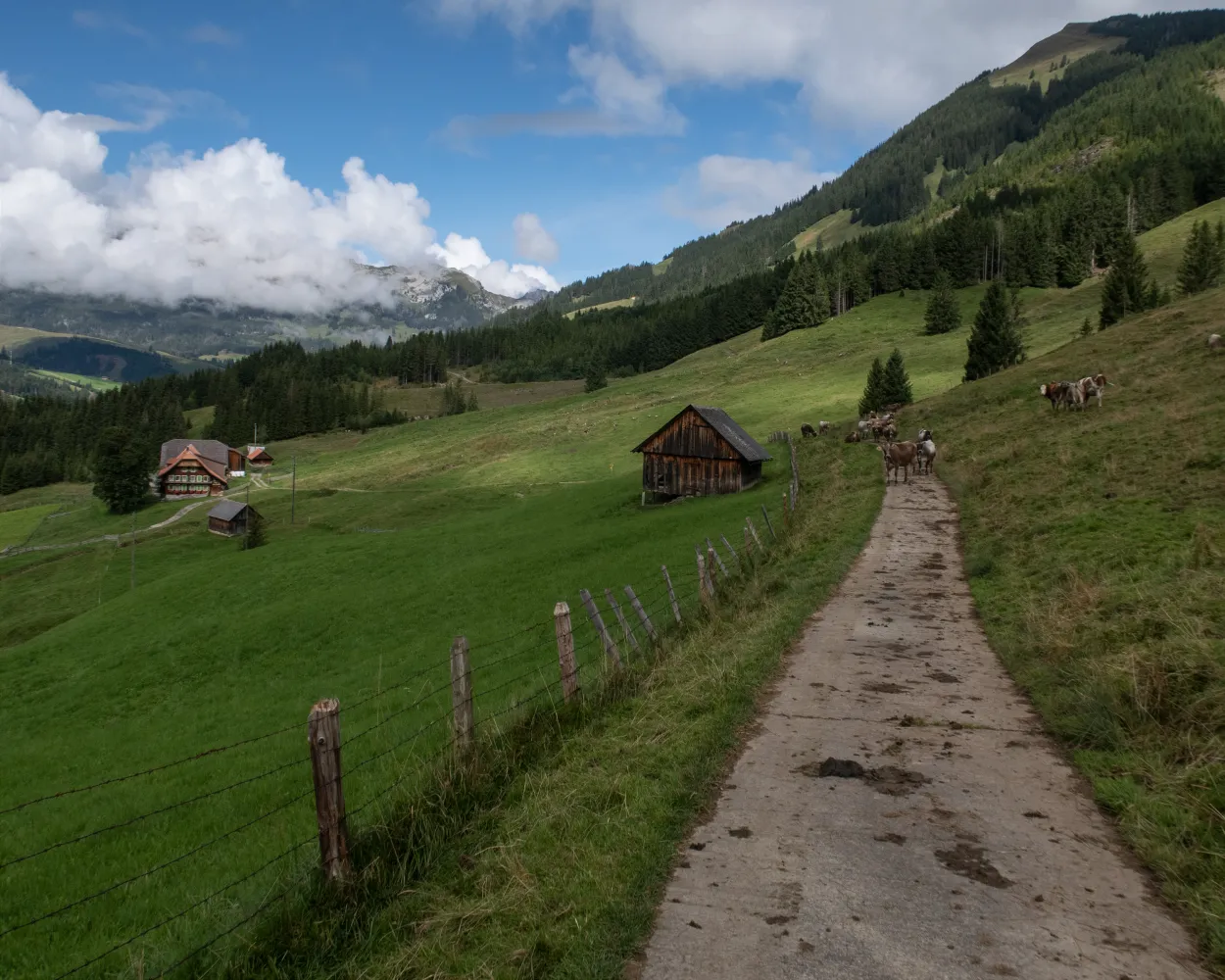
Much more on ovunta.com/en/map
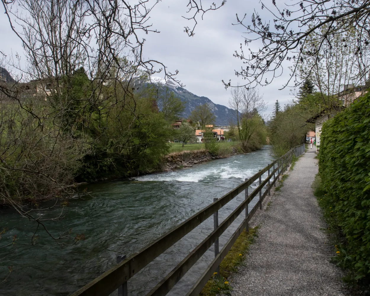
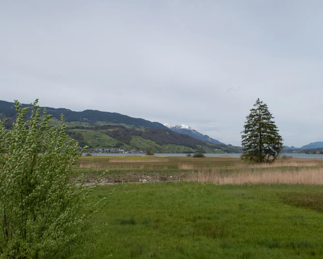
The section from Sarnen to Alpnach is particularly attractive thanks to its enchanting nature reserve on the Wichelsee lake. Simply a must-see, from the wide variety of waterfowl and plants to the massive rock faces on the other side of the lake.
 7 km
7 km 30 m
30 m 50 m
50 m 1h 45m
Barrier free: Yes

Landscape: Along the water
Tour published by:
SwitzerlandMobility
Learn more on
schweizmobil.ch
| Sarnen (08:49) | |
| S5 (1m) | |
| Sarnen Nord (08:50) |
Engelberg – a well-known and popular excursion destination. This round tour leads from the impressive monastery to the picturesque River Aa and constantly affords wonderful views of idyllic rural landscapes and the spectacular mountain panorama.
9 km50 m60 m2h 10mBarrier free: Yes
Landscape: Along the water
Tour published by:
SwitzerlandMobility
Learn more on
schweizmobil.ch
| Sarnen (08:39) | |
| S5 (6m) | |
| Ewil Maxon (08:45) |
From the Sarnersee lakeside path steeply up to the Flüeli-Ranft pilgrimage site, where eremite Niklaus von Flüe retreated into a gorge, to live as a cleric, visionary, warning voice and counsellor. His birthplace is one of Switzerland’s oldest wooden dwellings.
10 km340 m100 m2h 45mLandscape: Along the water
Tour published by:
SwitzerlandMobility
Learn more on
schweizmobil.ch
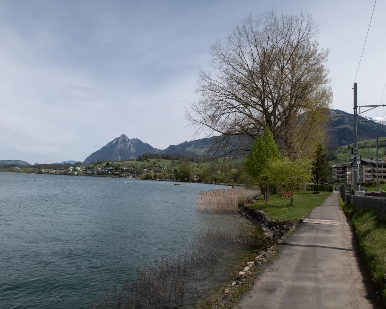
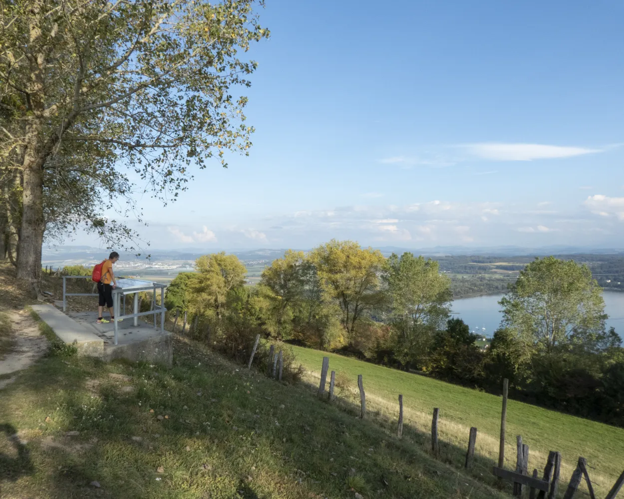
Flüeli offers magnificent views. The varied and pleasant route runs along the shores of Lake Sarnen and Lake Lungern and, from the Lungern church, the Brünig-Saumweg archaeology theme trail, which has been used as a pilgrimage route for a long time.
23 km820 m560 m6h 40mLandscape: Over a pass,Along the water
Tour published by:
SwitzerlandMobility
Learn more on
schweizmobil.ch
The ViaJacobi leads from the Bodensee to Genève as part of the European Jakobsweg (Route of St. James). Lined by churches, monasteries and chapels, it offers a fabulous hiking experience along historic paths through a diverse cultural landscape.
450 km11900 m11800 mLandscape: With panoramic views
Tour published by:
SwitzerlandMobility
Learn more on
schweizmobil.ch
The long-distance Trans Swiss Trail from Porrentruy to Mendrisio is one of the last great adventures in highly-developed Switzerland. A variety of landscapes, cultures and places of interest await along the 32 stages of the 488-km trail.
510 km17800 m17900 mLandscape: With panoramic views,Over a pass
Tour published by:
SwitzerlandMobility
Learn more on
schweizmobil.ch
The Waldstätterweg leads around the touristic highlight of the Vierwaldstättersee (Lake Lucerne). Explore the natural and cultural landscape with its historic sites, villages, lake shores and city on foot. Discover the heart of Central Switzerland anew.
115 km4800 m4800 mLandscape: With panoramic views,Along the water
Tour published by:
SwitzerlandMobility
Learn more on
schweizmobil.ch
| Sarnen (08:49) | |
| S5 (9m) | |
| Alpnachstad (08:58) |
Brother Klaus Way leads from Stans to Flüeli Ranft. This is the path Heimo Amgrund followed on the night of December 21, 1481. He was seeking the advice of Brother Klaus, who helped bring peace to the region.
21 km800 m780 m6h 0mLandscape: With panoramic views
Tour published by:
SwitzerlandMobility
Learn more on
schweizmobil.ch
| Sarnen, Bahnhof (08:31) | |
| 351 (8m) | |
| Sachseln, Bahnhof (08:39) |
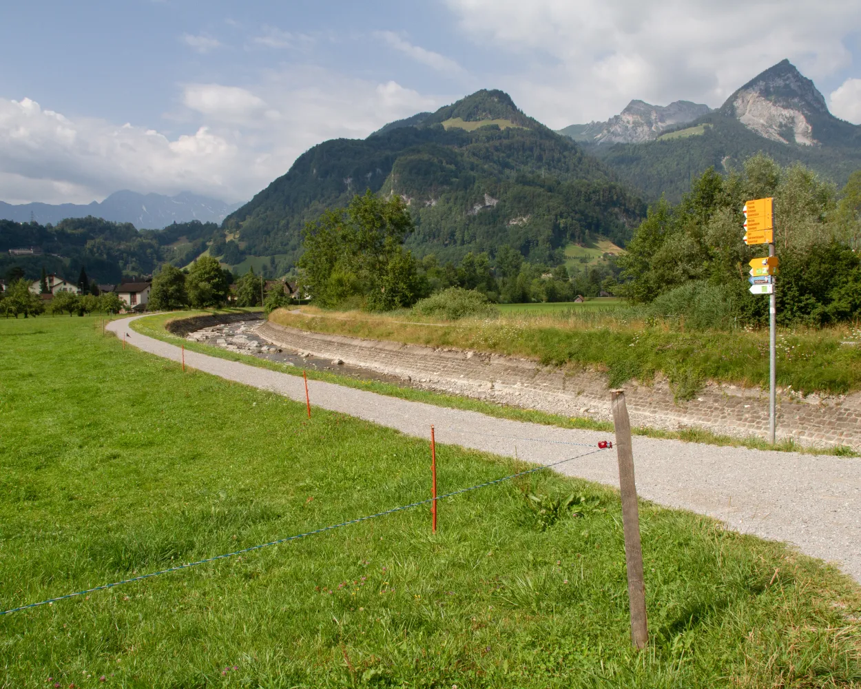
Worthwhile tour over the head of the Glaubenbielen Pass with superb views of the Sarnersee lake and Titlis summit. From time to time you meet the pass road but also repeatedly find quiet sections at Alpoglen or Pörterwald.
18 km700 m1350 m5h 45mLandscape: With panoramic views,Over a pass
Tour published by:
SwitzerlandMobility
Learn more on
schweizmobil.ch
| Sarnen (08:39) | |
| S5 (12m) | |
| Giswil (08:51) |

After the initial ascent to Stans, impressive panoramic views open up over Stanser Boden, Lake Lucerne and the peaks of Central Switzerland. The stage's highlight at the end is the hermitage of Niklaus von Flüe with the Ranft chapels.
17 km740 m480 m5h 0mLandscape: With panoramic views
Tour published by:
SwitzerlandMobility
Learn more on
schweizmobil.ch
| Sarnen, Bahnhof (08:44) | |
| 343 (11m) | |
| St. Niklausen OW, Haueti (08:55) |


