Relaxed or more challenging: these winter hikes are all reachable from Montreux by public transport. From easy panoramic walks to longer alpine routes, there’s something for every level of winter hiker.
The destinations below are sorted by travel time from Montreux to make planning easier. Be sure to check the map to explore all winter hikes and thousands of other outdoor activities reachable from any starting point in Switzerland.
Much more on ovunta.com/en/map
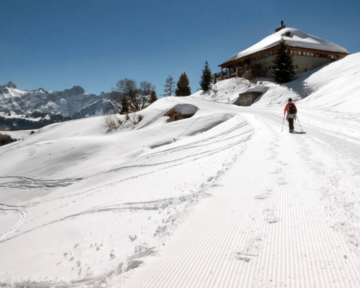
Discover Caux, with its delightful Belle-Epoque buildings, beautiful natural surroundings and stunning views, imbued with a romantic ambiance and incomparable charm. This was a favourite place for the empress Sissi to come and do her long walks.
 6 km
6 km 90 m
90 m 90 m
90 m 1h 50m
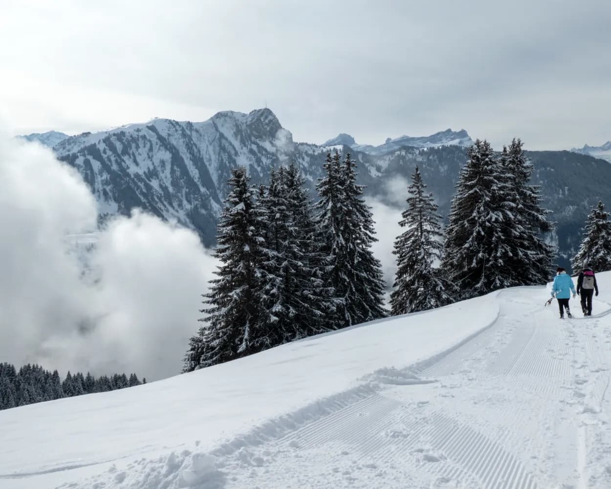
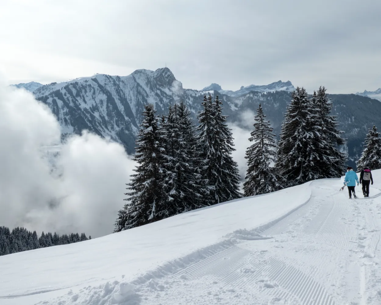
Landscape: With panoramic views,Through a Swiss Park
Tour published by:
SwitzerlandMobility
Learn more on
schweizmobil.ch
| Montreux (09:34) | |
| R37 (26m) | |
| Les Echets (10:00) |
In the heart of the Vaud Alps, in a sunny climate, this winter walk between the hills above the village of Villars-sur-Ollon and the Villars Golf Course will take you along the famous Col de la Croix road leading to Les Diablerets.
7 km340 m30 m2h 20mTour published by:
SwitzerlandMobility
Learn more on
schweizmobil.ch
| Montreux (08:51) | |
| RE33 (17m) | |
| Bex (09:08) |
| Bex, place de la gare (09:17) | |
| EV74 (33m) | |
| Arveyes, La Clairière (09:50) |
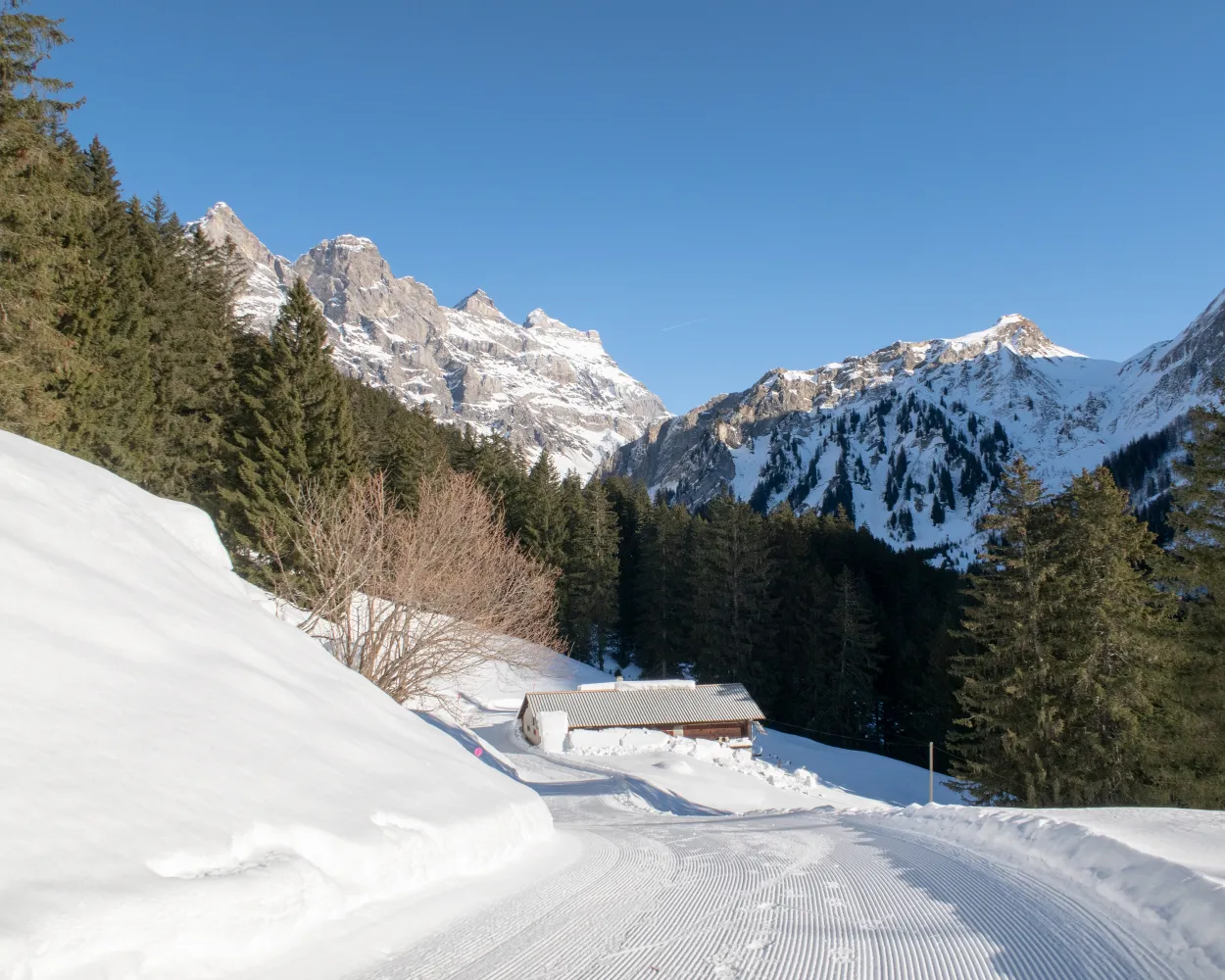
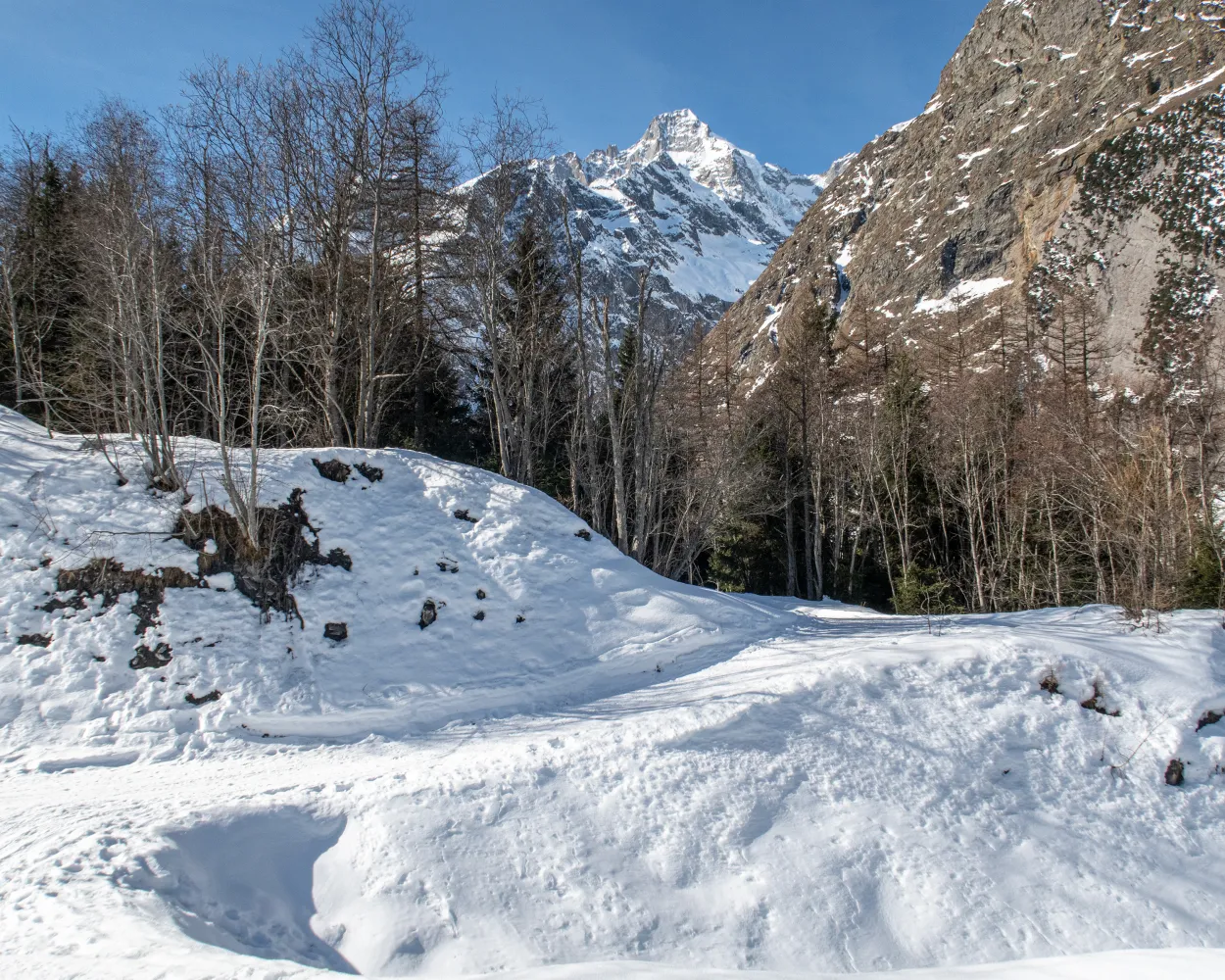
The winter walk between Frience, Solalex and Cergnement runs along a panoramic balcony facing the impressive Miroir de l’Argentine, taking you though two remote valleys and along the spectacular Anzeindaz river.
7 km140 m420 m2h 20mTour published by:
SwitzerlandMobility
Learn more on
schweizmobil.ch
| Montreux (08:37) | |
| IR95 (10m) | |
| Aigle (08:47) |
| Aigle, gare (08:50) | |
| 144 (26m) | |
| Villars-sur-Ollon, télécabine (09:16) |
| Villars-sur-Ollon, télécabine (09:26) | |
| 164 (12m) | |
| Gryon Barboleuse, gare (09:38) |
| Gryon Barboleuse, gare (09:49) | |
| 165 (4m) | |
| Gryon, bifurcation Cergnement (09:53) |
A lovely climb through forests and meadows to the Restaurant des Fers, affording stunning views of the surrounding peaks, the best known including Le Mont d’Or, Pic Chaussy and the whole Les Diablerets mountain range.
11 km460 m460 m3h 50mTour published by:
SwitzerlandMobility
Learn more on
schweizmobil.ch
| Montreux (08:37) | |
| IR95 (10m) | |
| Aigle (08:47) |
| Aigle (09:12) | |
| R70 (27m) | |
| Leysin-Feydey (09:39) |
The easy loop hike shows Val Ferret from its most beautiful side. The hidden glacier valley beckons with its pristine natural beauty and an amazing mountain backdrop.
7 km220 m220 m2h 15mTour published by:
SwitzerlandMobility
Learn more on
schweizmobil.ch
| Montreux (08:37) | |
| IR95 (27m) | |
| Martigny (09:04) |
| Martigny (09:17) | |
| R81 (15m) | |
| Sembrancher (09:32) |
| Sembrancher (09:34) | |
| R82 (8m) | |
| Orsières (09:42) |
| Orsières, gare (09:46) | |
| 272 (15m) | |
| Prayon (10:01) |
A lovely walk in the countryside with the delightful surprise of spotting deer in the clearing of the forest. Stop off at the “snow village” at the Tobogganing Park to visit the magical land of igloos.
4 km100 m100 m1h 20mLandscape: With panoramic views,Through a Swiss Park
Tour published by:
SwitzerlandMobility
Learn more on
schweizmobil.ch
| Montreux (08:37) | |
| IR95 (10m) | |
| Aigle (08:47) |
| Aigle (09:29) | |
| R71 (28m) | |
| Le Sépey (09:57) |
| Le Sépey, gare (10:01) | |
| 175 (7m) | |
| Leysin, En Crettaz (10:08) |

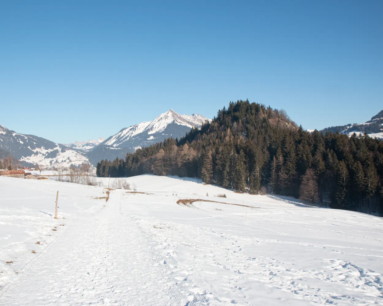
This walk overlooks the resort and takes you from Crans to Aminona, crossing the bottom of the ski area from west to east. The trail alternates between stretches of forest and open areas, offering an unbeatable view of the Valais Alps.
12 km560 m500 m4h 25mTour published by:
SwitzerlandMobility
Learn more on
schweizmobil.ch
| Montreux (08:37) | |
| IR95 (53m) | |
| Sierre/Siders (09:30) |
| Sierre/Siders (funi) (09:44) | |
| 2225 (13m) | |
| Crans-Montana gare (09:57) |
| Crans-Montana, gare (10:02) | |
| 431 (8m) | |
| Aminona (10:10) |
This winter walk is a chance to explore the charming little village of Vers-l'Eglise. Part of the route follows the «Grande Eau» river, the other takes you up to the hills above the village, offering exceptional views of the Les Diablerets mountains and the village.
4 km110 m110 m1h 25mTour published by:
SwitzerlandMobility
Learn more on
schweizmobil.ch
| Montreux (08:37) | |
| IR95 (10m) | |
| Aigle (08:47) |
| Aigle (09:29) | |
| R71 (46m) | |
| Plan Morier (10:15) |
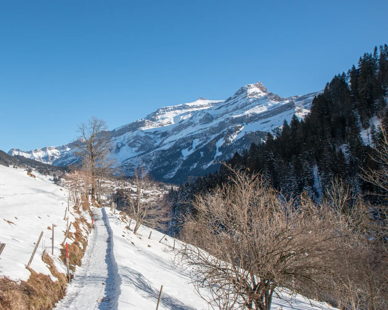
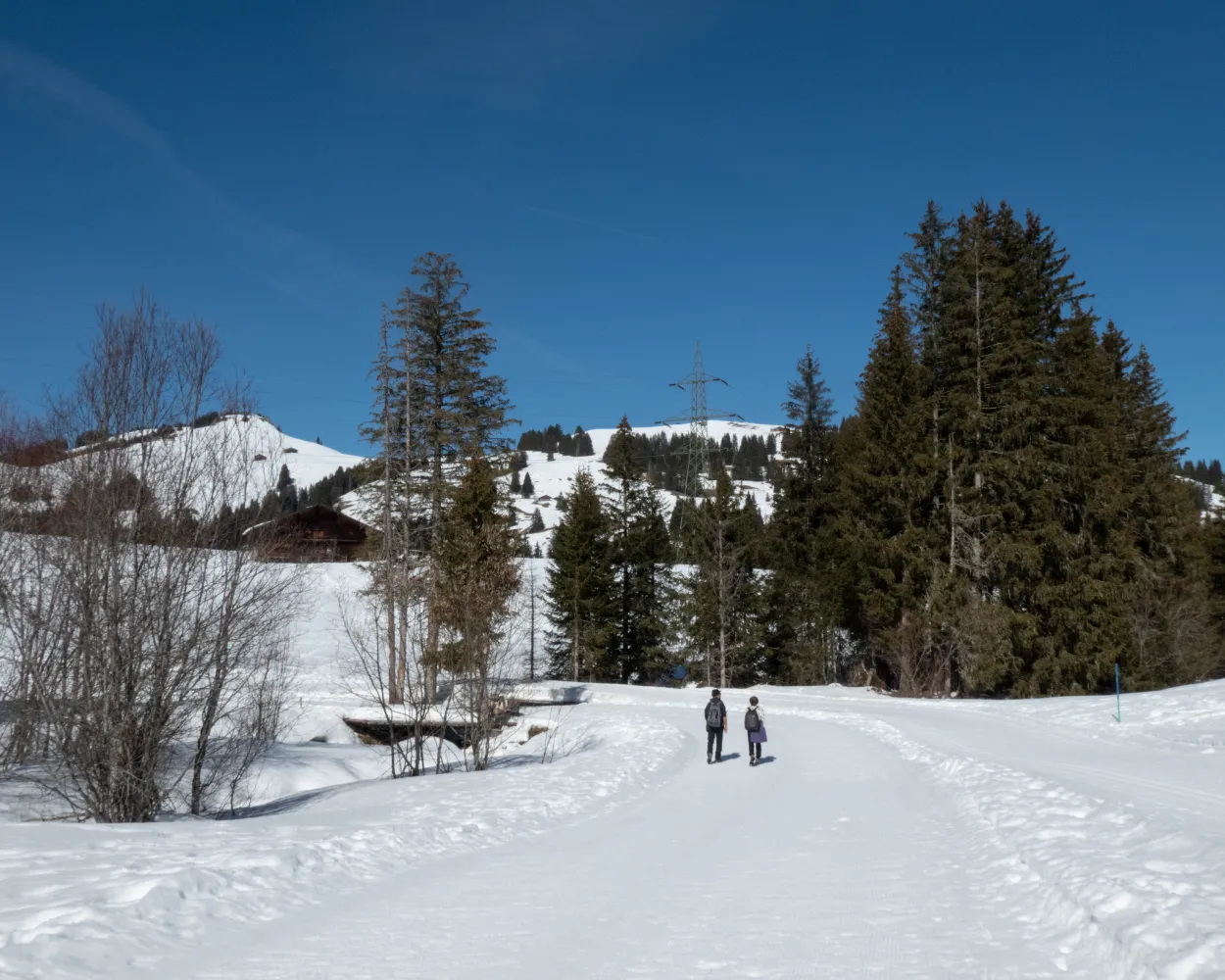
This continual downhill run from Schönried to Gstaad and varied hike for enthusiastic hikers boasts views of towering mountain peaks, idyllic meadows and the historic heart of the Saanenland.
5 km70 m240 m1h 25mTour published by:
SwitzerlandMobility
Learn more on
schweizmobil.ch
| Montreux (08:43) | |
| 30 (1h 38m) | |
| Gstaad (10:21) |
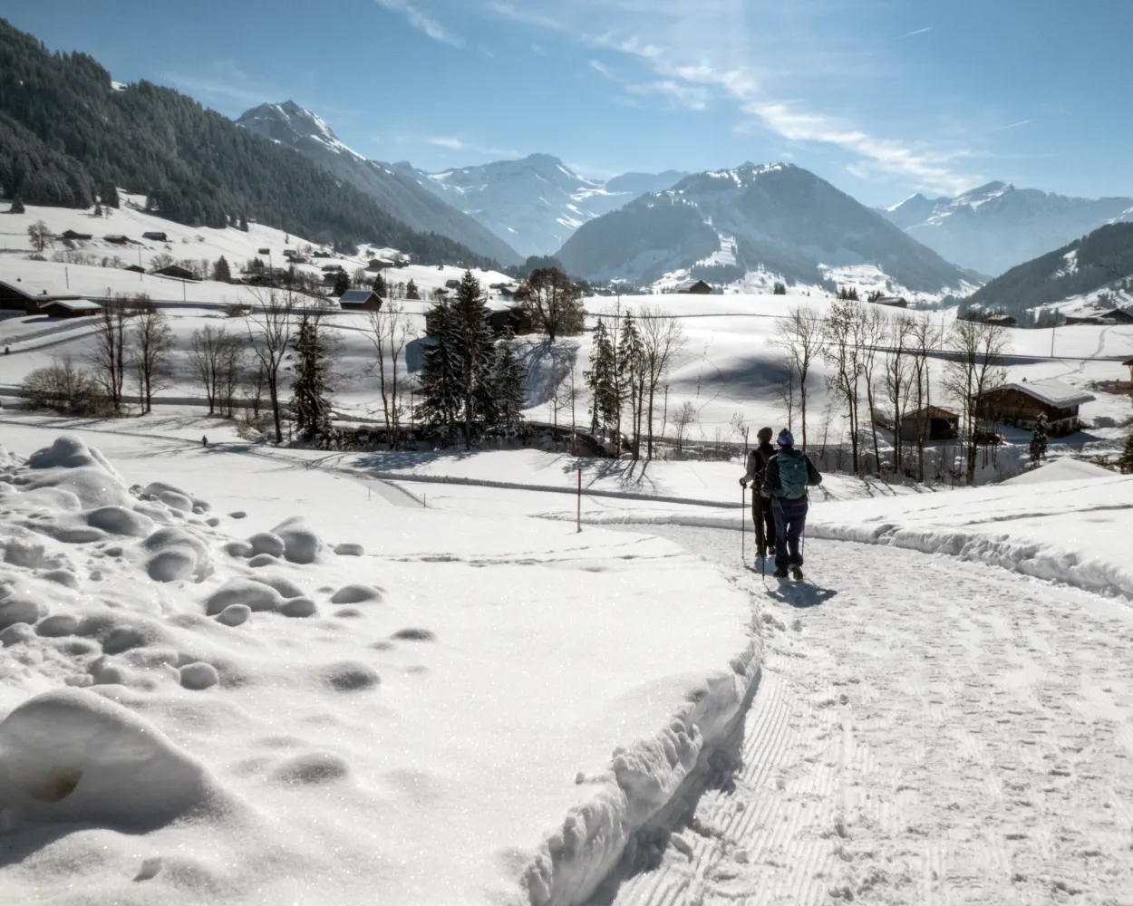
Nestled between Pays-d’Enhaut, Gruyère and the Riviera, the magical resort of Col des Mosses in the Vaud Alps benefits from an exceptional setting. Developed on an area of marshland, called “la Mosse” by the people of Ormont, this relaxing, magical walk is an invitation to linger.
7 km170 m170 m2h 20mTour published by:
SwitzerlandMobility
Learn more on
schweizmobil.ch
| Montreux (08:37) | |
| IR95 (10m) | |
| Aigle (08:47) |
| Aigle (09:29) | |
| R71 (28m) | |
| Le Sépey (09:57) |
| Le Sépey, gare (10:03) | |
| 175 (14m) | |
| Les Mosses, Col des Mosses (10:17) |


