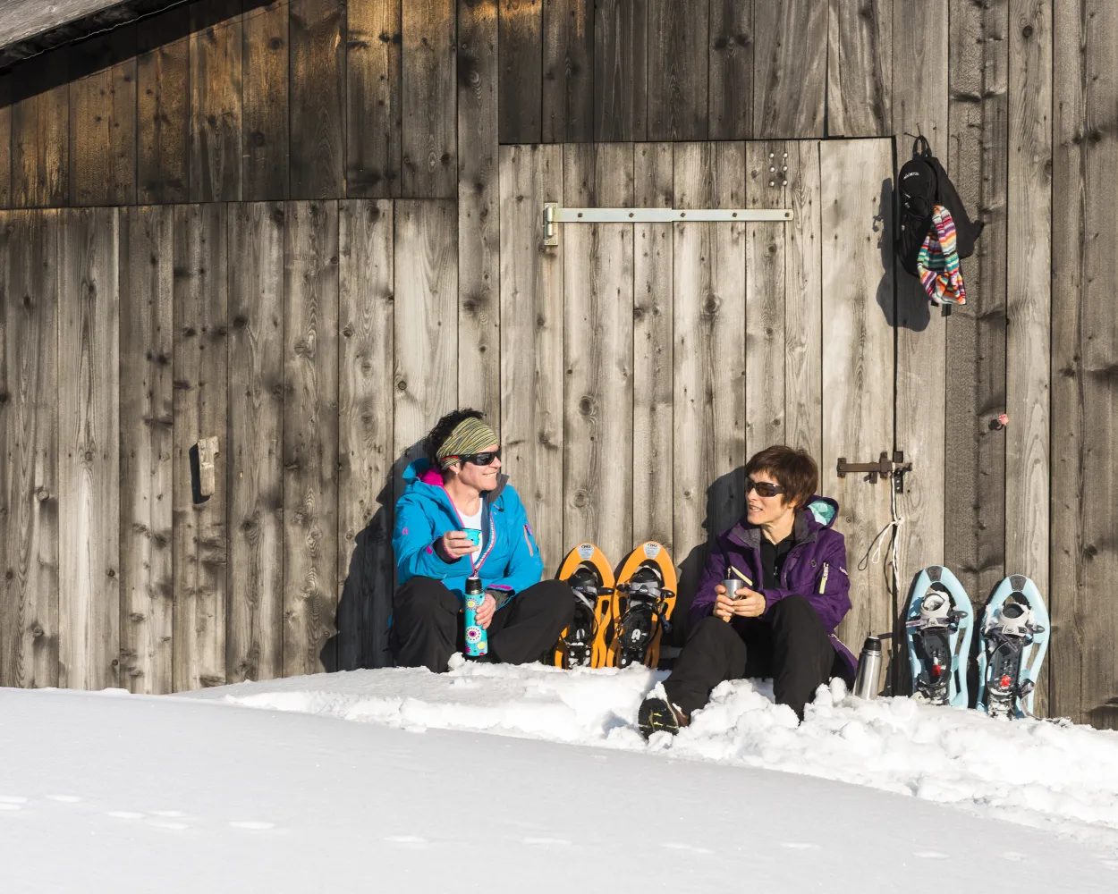
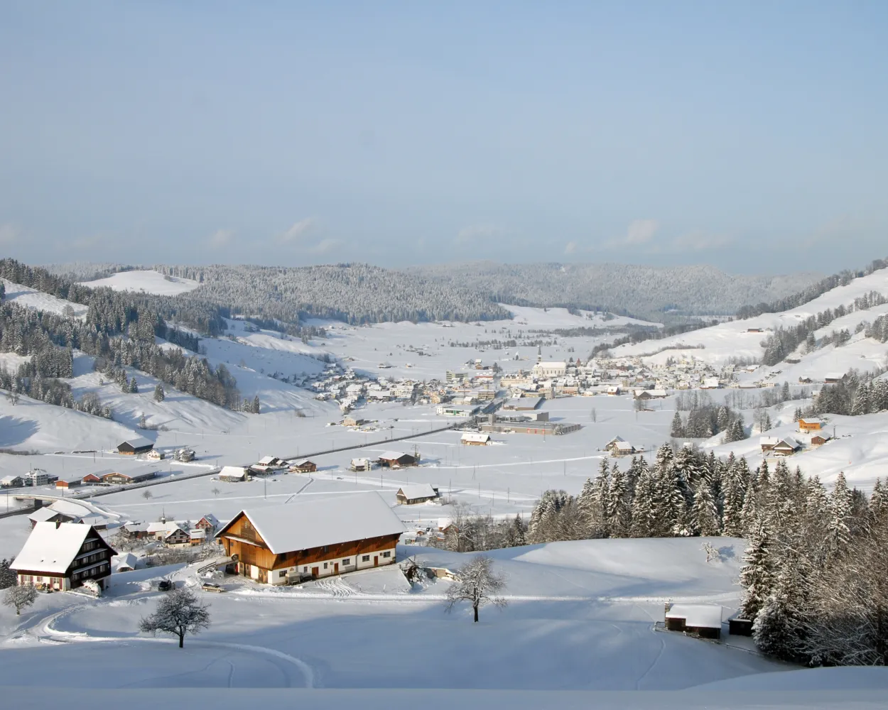
Discover a winter wonderland on these snowshoe hikes, all easily reachable from Zofingen by public transport. Snow-covered forests, wide alpine plateaus, and scenic routes offer memorable experiences in the heart of the Alps.
To make planning easier, the hikes below are sorted by travel time from Zofingen. Explore the map to find all snowshoe hikes and thousands of other outdoor activities accessible from anywhere in Switzerland.
Much more on ovunta.com/en/map

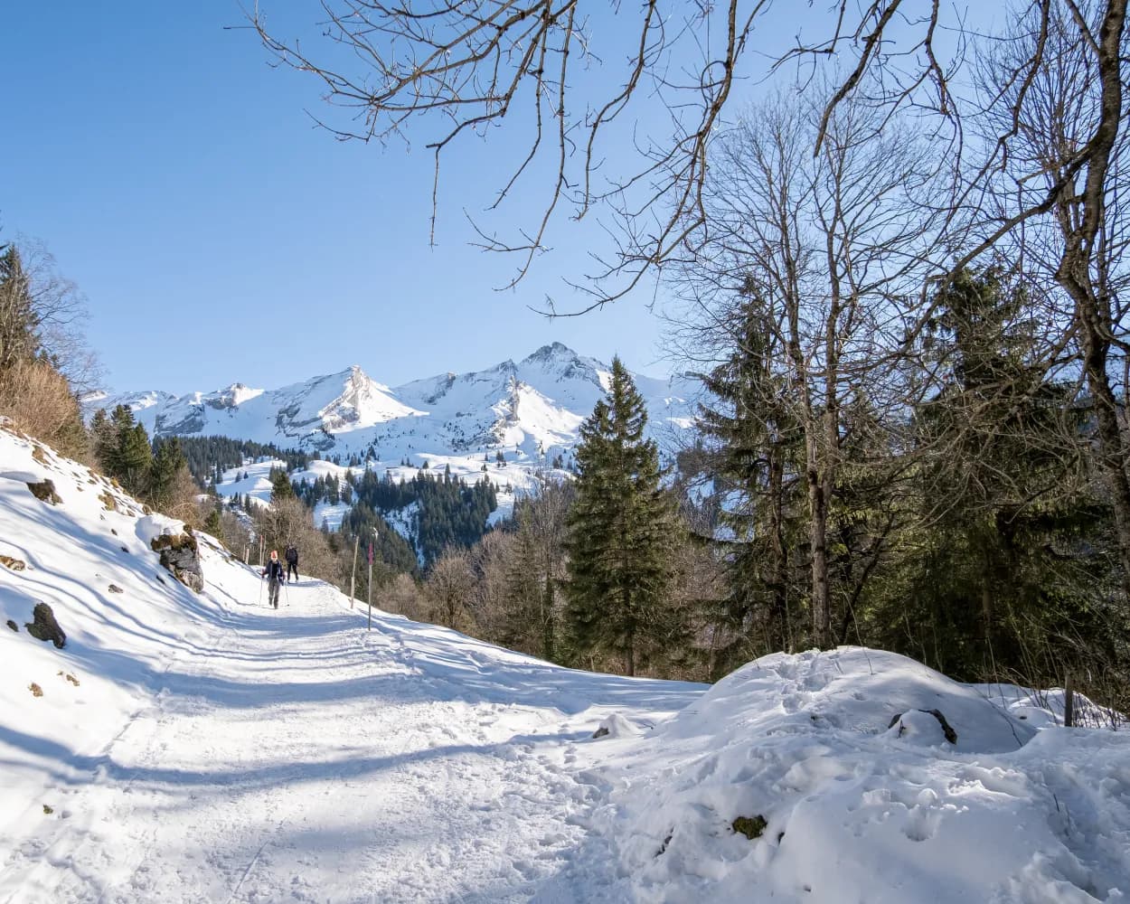
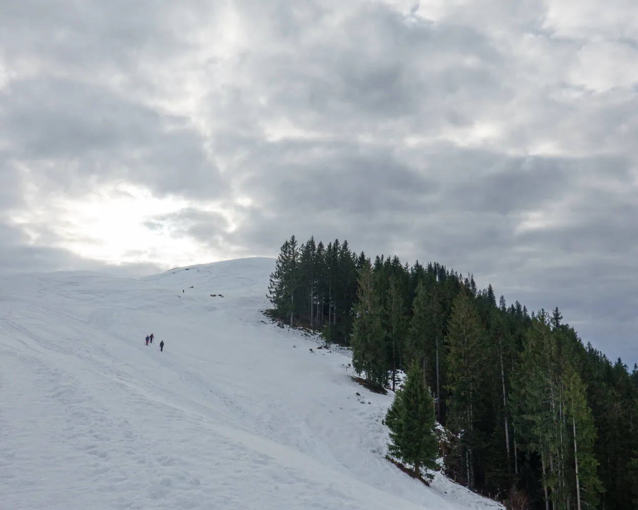
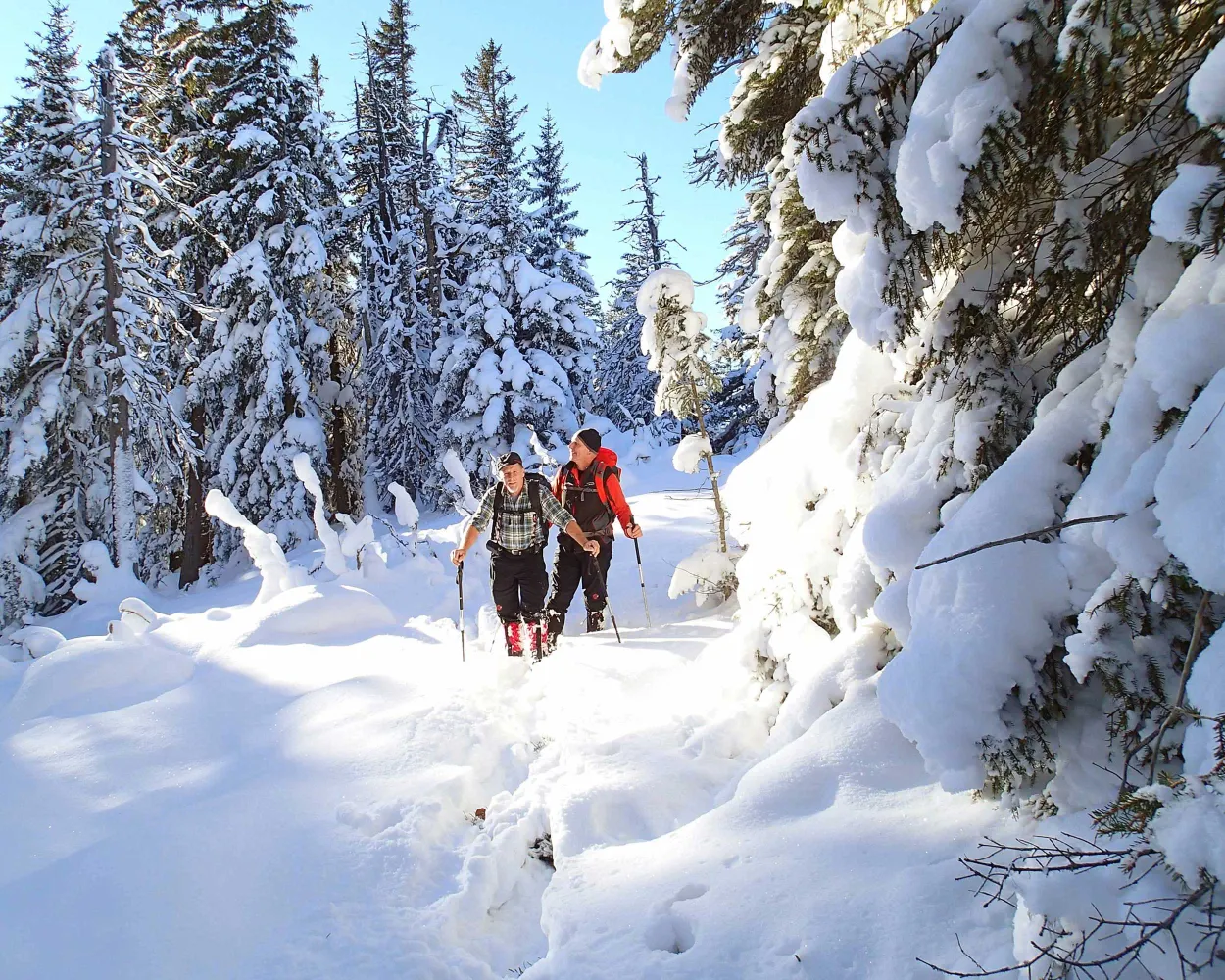
The easy snowshoe tour on Pilatus leads from Fräkmüntegg over open meadows of Alp Bonern and back through the «Rehlöcher» forest. During the hike you cross the border from Lucerne to Nidwalden and enjoy a beautiful view of Lucerne, Lake Lucerne, the midland and the northern foothills of the Alps.
 3 km
3 km 180 m
180 m 180 m
180 m 1h 35m
Landscape: With panoramic views,Onto an alp
Tour published by:
SwitzerlandMobility
Learn more on
schweizmobil.ch
| Zofingen (08:58) | |
| IR27 (32m) | |
| Luzern (09:30) |
| Luzern, Bahnhof (09:39) | |
| 1 (11m) | |
| Kriens, Zentrum Pilatus (09:50) |
| Kriens (Pilatusbahn) (10:01) | |
| 2516 (30m) | |
| Fräkmüntegg (10:31) |
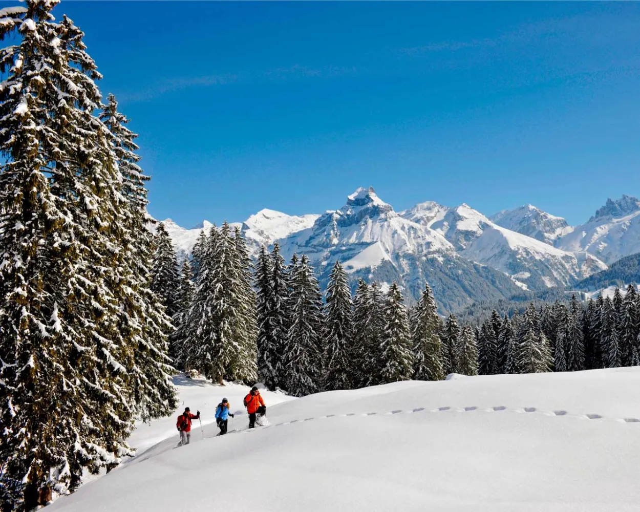
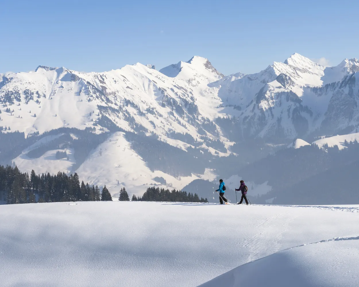
High above Lake Thun, the trail leads through silent forests and open meadows on its way to Dünzenegg. Your companions are beautiful views of the lake, the Bernese Alps and the Central Plateau. With some traverses and steep, exposed sections, this trail is aimed at snowshoe hikers with some experience.
9 km440 m440 m4h 0mTour published by:
SwitzerlandMobility
Learn more on
schweizmobil.ch
| Zofingen (08:32) | |
| IR15 (28m) | |
| Bern (09:00) |
| Bern (09:07) | |
| IC8 (19m) | |
| Thun (09:26) |
| Thun, Bahnhof (09:31) | |
| 25 (10m) | |
| Oberhofen a. T., Dorf (09:41) |
| Oberhofen a. T., Dorf (09:48) | |
| 24 (19m) | |
| Schwanden (Sigriswil), Säge (10:07) |
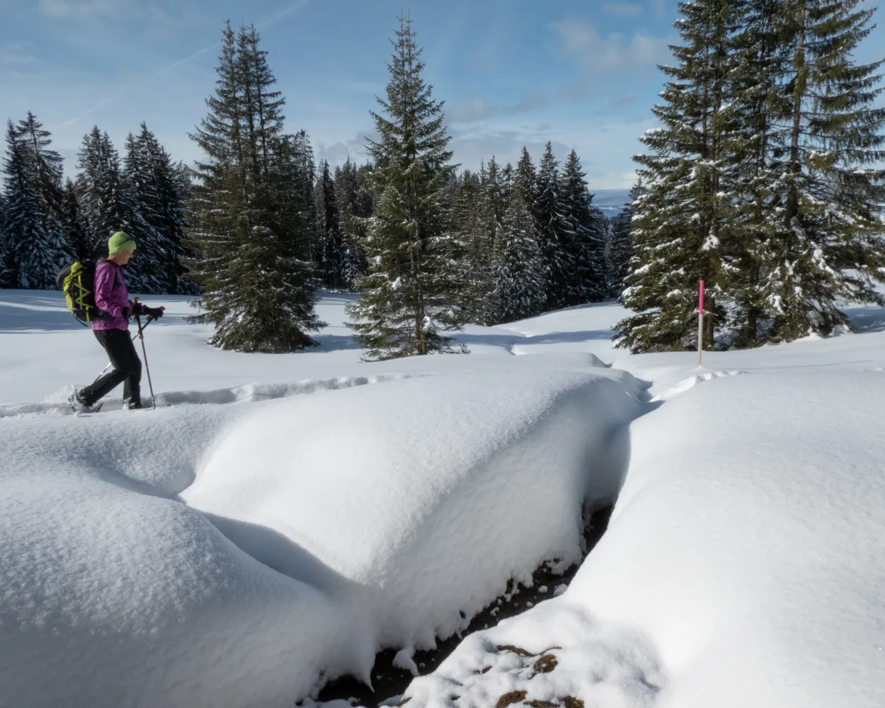
The Untertrübsee Snowshoe Trail is a wonderful way to explore nature as you wander through the Gerschniwald forest at the foot of the Titlis, leaving your tracks in the fresh powder snow.
4 km150 m150 m1h 40mTour published by:
SwitzerlandMobility
Learn more on
schweizmobil.ch
| Zofingen (08:58) | |
| IR27 (32m) | |
| Luzern (09:30) |
| Luzern (09:36) | |
| IRLEX (45m) | |
| Engelberg (10:21) |
| Engelberg, Bahnhof (10:26) | |
| 300 (2m) | |
| Engelberg, Titlisbahn (10:28) |
| Engelberg (Talstation Titlis) (10:30) | |
| 2533 (4m) | |
| Gerschnialp (10:34) |
Snow-covered landscapes, tranquillity and an impressive natural experience: explore the gently rolling hills between Wasserfallen and the Passwang region in splendid style with a pair of snowshoes.
3 km280 m280 m2h 10mTour published by:
SwitzerlandMobility
Learn more on
schweizmobil.ch
| Zofingen (09:03) | |
| IR27 (31m) | |
| Liestal (09:34) |
| Liestal, Bahnhof (09:52) | |
| 71 (30m) | |
| Reigoldswil, Dorfplatz (10:22) |
| Reigoldswil (Wasserfallenbahn) (10:34) | |
| 2029 (8m) | |
| Wasserfallen (10:42) |

High above Engelberg, the Obertrübsee Snowshoe Trail awaits nature-loving ramblers and ambitious athletes alike. Can there be a more wonderful feeling than leaving traces in the fresh powder snow as you wander up hill and down dale, through tranquil forests?
5 km300 m300 m2h 40mLandscape: With panoramic views,Through a Swiss Park,Along the water
Tour published by:
SwitzerlandMobility
Learn more on
schweizmobil.ch
| Zofingen (08:58) | |
| IR27 (32m) | |
| Luzern (09:30) |
| Luzern (09:36) | |
| IRLEX (45m) | |
| Engelberg (10:21) |
| Engelberg, Bahnhof (10:26) | |
| 300 (2m) | |
| Engelberg, Titlisbahn (10:28) |
| Engelberg (Talst. Kabinenb.) (10:30) | |
| 2534 (10m) | |
| Trübsee (10:40) |
Snow crunching underfoot amidst a snowy winter landscape – the range of hills featuring the Napf on the right, a mountain backdrop with the Risetenstock, Schimbrig and Schafmatt on the left. And once you arrive at the First, a welcome Entlebuch-style coffee with schnapps. What more could you ask for?
7 km380 m380 m3h 15mTour published by:
SwitzerlandMobility
Learn more on
schweizmobil.ch
| Zofingen (08:58) | |
| IR27 (32m) | |
| Luzern (09:30) |
| Luzern (09:57) | |
| RE7 (31m) | |
| Schüpfheim (10:28) |
| Schüpfheim, Bahnhof (10:33) | |
| 233 (9m) | |
| Hasle LU, Heiligkreuz Kirche (10:42) |
This family walk is suitable for all and takes you to Montsoflo aux Fornis, where you can savour the views over the Lac de la Gruyère, the Gibloux, the Swiss Plateau and the Jura mountain range in the distance.
5 km190 m190 m2h 5mTour published by:
SwitzerlandMobility
Learn more on
schweizmobil.ch
| Zofingen (08:32) | |
| IR15 (54m) | |
| Fribourg/Freiburg (09:26) |
| Fribourg/Freiburg, gare rout. (09:37) | |
| 234 (29m) | |
| La Roche FR, Le Stoutz (10:06) |
| La Roche FR, Le Stoutz (10:10) | |
| 235 (6m) | |
| La Roche FR, Montsoflo (10:16) |
Do you fancy an energetic walk with a unique view? This route takes you through forests and clearings to the Cousimbert. The view alone is worth the walk: from the Lac de la Gruyère, the Swiss Plateau and the Jura mountain range can be seen along with the Chasseral.
6 km740 m130 m3h 45mLandscape: Along the water,Onto a mountain peak,With panoramic views
Tour published by:
SwitzerlandMobility
Learn more on
schweizmobil.ch
| Zofingen (08:32) | |
| IR15 (54m) | |
| Fribourg/Freiburg (09:26) |
| Fribourg/Freiburg, gare rout. (09:37) | |
| 234 (29m) | |
| La Roche FR, Le Stoutz (10:06) |
| La Roche FR, Le Stoutz (10:10) | |
| 235 (10m) | |
| La Roche FR, La Berra (10:20) |
Bridges and views are the stars of this snowshoe trail. Along the way, hikers can take off their snowshoes and enjoy a special experience: the foot suspension bridge in Sattel-Hochstuckli.
10 km640 m640 m5h 20mLandscape: With panoramic views,Over a suspension bridge
Tour published by:
SwitzerlandMobility
Learn more on
schweizmobil.ch
| Zofingen (08:58) | |
| IR27 (32m) | |
| Luzern (09:30) |
| Luzern (09:39) | |
| VAE (50m) | |
| Rothenthurm (10:29) |
| Rothenthurm, Bahnhof (10:34) | |
| 507 (4m) | |
| Rothenthurm, Altmatt Bahnhof (10:38) |
| Altmatt (10:42) | |
| S31 (5m) | |
| Biberegg (10:47) |
Here you feel as if you are in the far north: to reach the Jänzi, you snowshoe through the varied winter landscape of the Langis-Glaubenberg area. Once you have arrived at the top you can look forward to a magnificent 360-degree panorama of the surrounding mountain scenery and Sarnen Valley.
12 km580 m580 m5h 40mLandscape: Onto a mountain peak,With panoramic views
Tour published by:
SwitzerlandMobility
Learn more on
schweizmobil.ch
| Zofingen (08:58) | |
| IR27 (32m) | |
| Luzern (09:30) |
| Luzern (09:42) | |
| S5 (26m) | |
| Sarnen (10:08) |
| Sarnen, Bahnhof (10:16) | |
| 344 (31m) | |
| Langis (10:47) |


