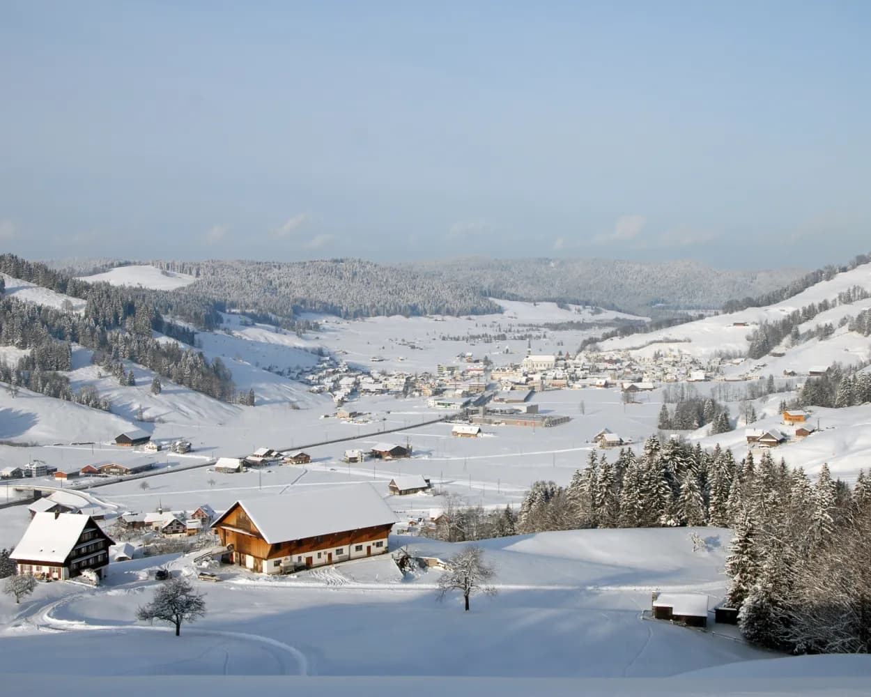
Discover a winter wonderland on these snowshoe hikes, all easily reachable from Aarau by public transport. Snow-covered forests, wide alpine plateaus, and scenic routes offer memorable experiences in the heart of the Alps.
To make planning easier, the hikes below are sorted by travel time from Aarau. Explore the map to find all snowshoe hikes and thousands of other outdoor activities accessible from anywhere in Switzerland.
Much more on ovunta.com/en/map
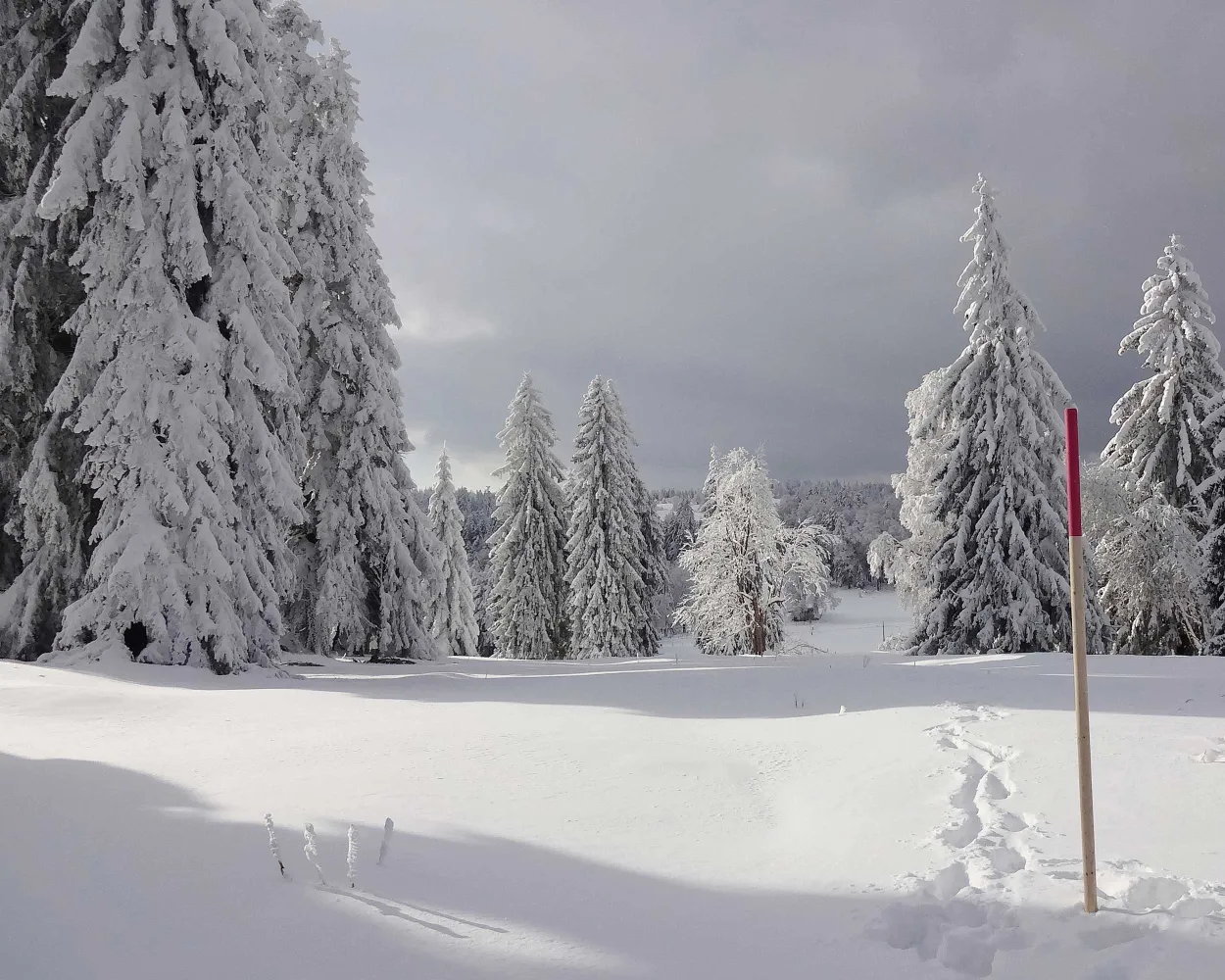
Starting from Bellelay in the region of the famous Tête de Moine AOC cheese, this snow-shoe excursion will take you to Sur Montbautier in the uplands of the Montagne du Droit before passing through the forest of the same name on the way back to your starting point.
 9 km
9 km 320 m
320 m 320 m
320 m 3h 50m
Landscape: Through a Swiss Park,Onto a mountain peak,With panoramic views
Tour published by:
SwitzerlandMobility
Learn more on
schweizmobil.ch
| IC5 (44m) | |
| R41 (17m) | |
| R42 (10m) | |
| 35 (9m) | |
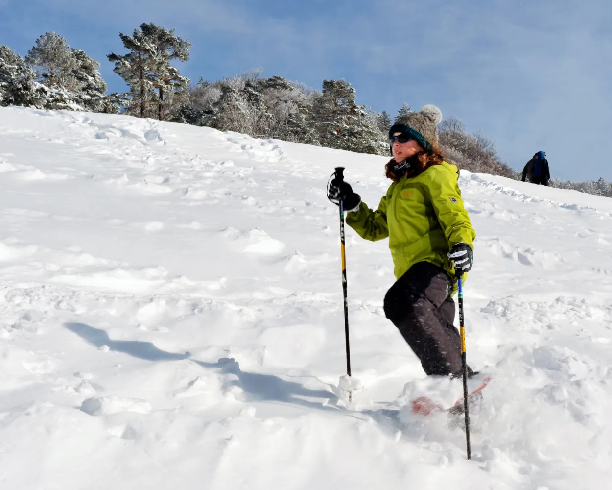
Snow-covered landscapes, tranquillity and an impressive natural experience: explore the gently rolling hills between Wasserfallen and the Passwang region in splendid style with a pair of snowshoes.
3 km280 m280 m2h 10mTour published by:
SwitzerlandMobility
Learn more on
schweizmobil.ch
| RE12 (11m) | |
| ICE (16m) | |
| 70 (25m) | |
| 2029 (8m) | |
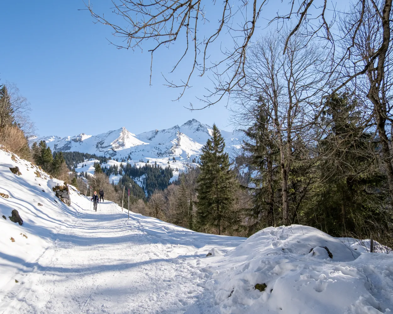
This moderately challenging snowshoe trail surrounded by pristine nature offers stunning views into the Engelberg Valley, away from the hustle and bustle. It leads from the Maria-Rickenbach pilgrimage site with its famous monastery mainly through the forest and across meadows.
5 km240 m240 m2h 20mLandscape: With panoramic views,Onto an alp
Tour published by:
SwitzerlandMobility
Learn more on
schweizmobil.ch
| RE12 (11m) | |
| IR26 (35m) | |
| IRLEX (20m) | |
| PB (8m) | |
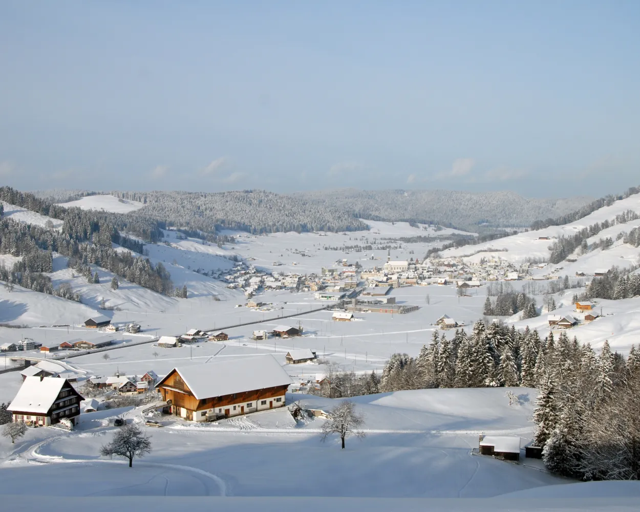
Bridges and views are the stars of this snowshoe trail. Along the way, hikers can take off their snowshoes and enjoy a special experience: the foot suspension bridge in Sattel-Hochstuckli.
10 km640 m640 m5h 20mLandscape: Over a suspension bridge,With panoramic views
Tour published by:
SwitzerlandMobility
Learn more on
schweizmobil.ch
| IC5 (25m) | |
| IC2 (40m) | |
| S31 (14m) | |
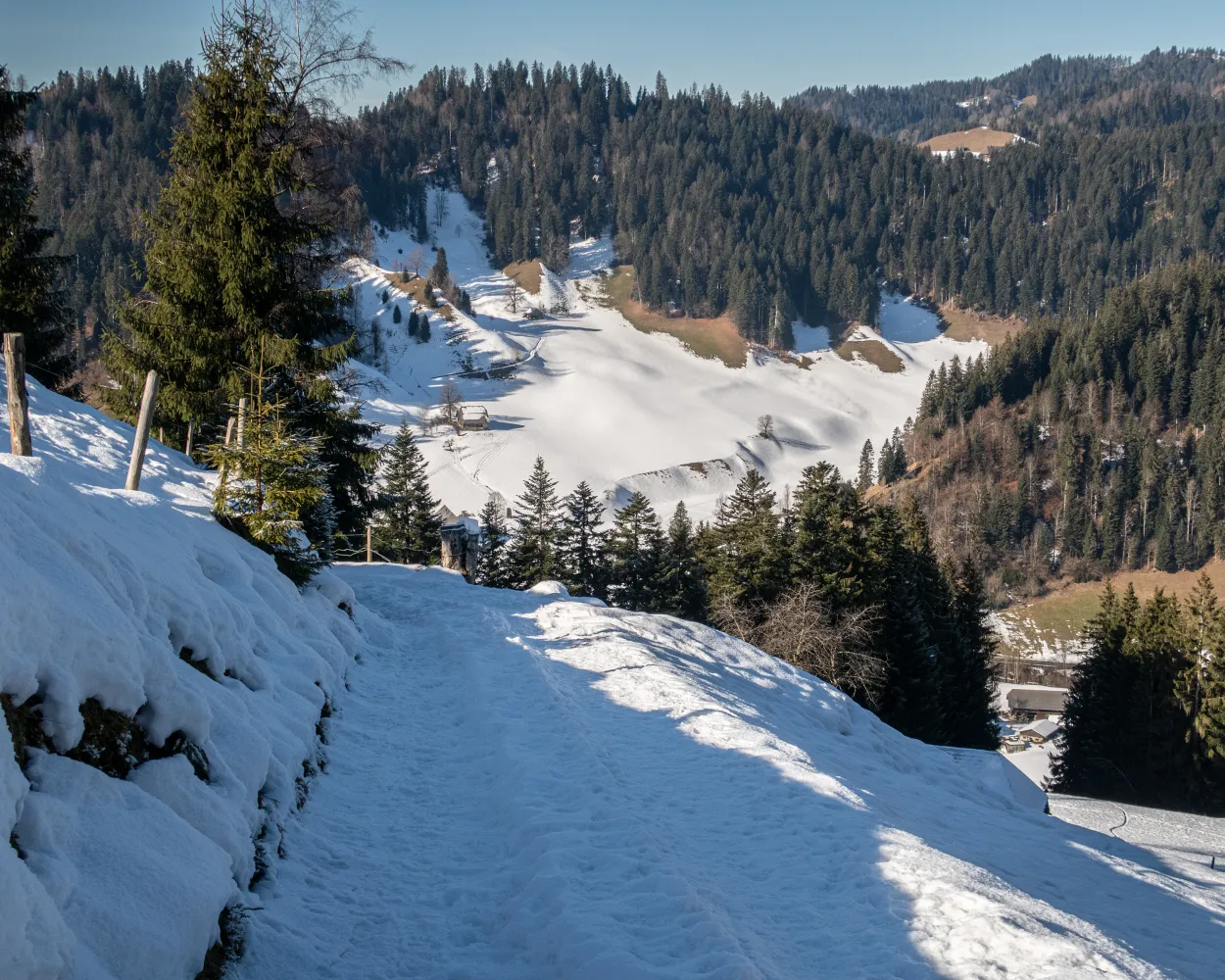
This varied snowshoe tour starts in Trub in the Emmental valley. It leads through snow-covered forests and pastures in the hilly terrain of the Napf region. The winter scenery and the far-reaching views over the Emmental hilltops make for an unforgettable experience.
8 km420 m420 m4h 0mLandscape: With panoramic views,Onto a mountain peak
Tour published by:
SwitzerlandMobility
Learn more on
schweizmobil.ch
| IR16 (38m) | |
| RE7 (36m) | |
| 284 (7m) | |
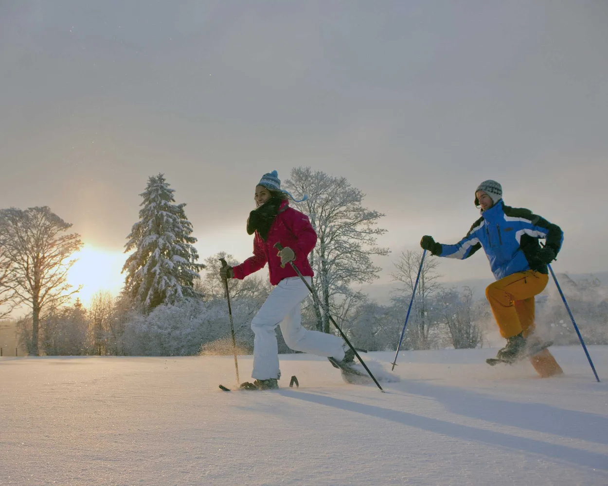
This enjoyable snowshoe hike along the Mont-Croisin and Mont-Soleil crests will take you between the wind turbines and the solar-power plant, always in sight of the impressive Chasseral massif which dominates the Saint-Imier valley.
8 km200 m240 m3h 10mTour published by:
SwitzerlandMobility
Learn more on
schweizmobil.ch
| IR16 (9m) | |
| IR55 (39m) | |
| RE4 (25m) | |
| 131 (8m) | |
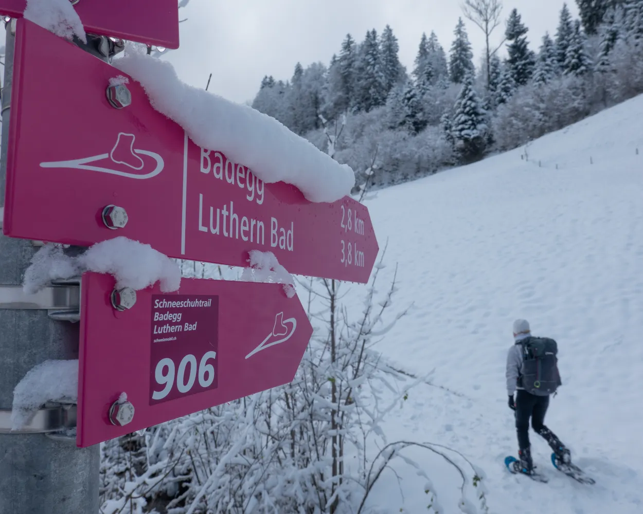
This easy-going trail, relatively flat, leads from the Luthern Bad place of pilgrimage, past a yurt village and on through the delightful Napf hills. The return leg via Alp Badegg with its views over the Luther valley features the Badbrünnli 'place of power' with its mystical arm and foot baths.
4 km160 m160 m1h 40mLandscape: With panoramic views,Onto an alp
Tour published by:
SwitzerlandMobility
Learn more on
schweizmobil.ch
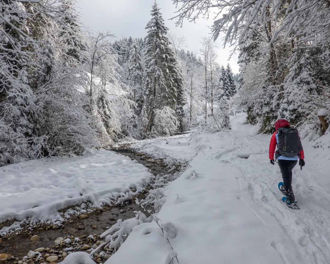
Starting in the Luthern Bad place of pilgrimage, the trail follows the Luthern stream through the delightful hills of the Napf region. Alp Badegg offers pleasant views of the Luther valley. A worthwhile place to pause is the Badbrünnli 'place of power' with its mystical arm and foot baths.
4 km260 m260 m2h 5mTour published by:
SwitzerlandMobility
Learn more on
schweizmobil.ch
| IR16 (9m) | |
| IR17 (11m) | |
| S6 (30m) | |
| 282 (18m) | |
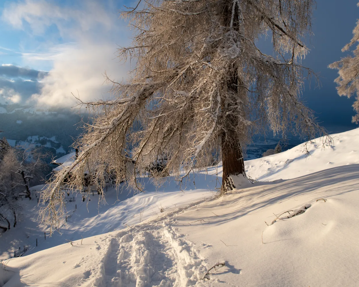
High above Lake Thun the snowshoe trail leads from sunny Aeschiried to the foot of the Morgenberghorn. The views of the fantastic mountain backdrop and deep blue Lake Thun are spectacular.
12 km800 m800 m6h 25mTour published by:
SwitzerlandMobility
Learn more on
schweizmobil.ch
| RE12 (11m) | |
| IC61 (1h 5m) | |
| 62 (16m) | |
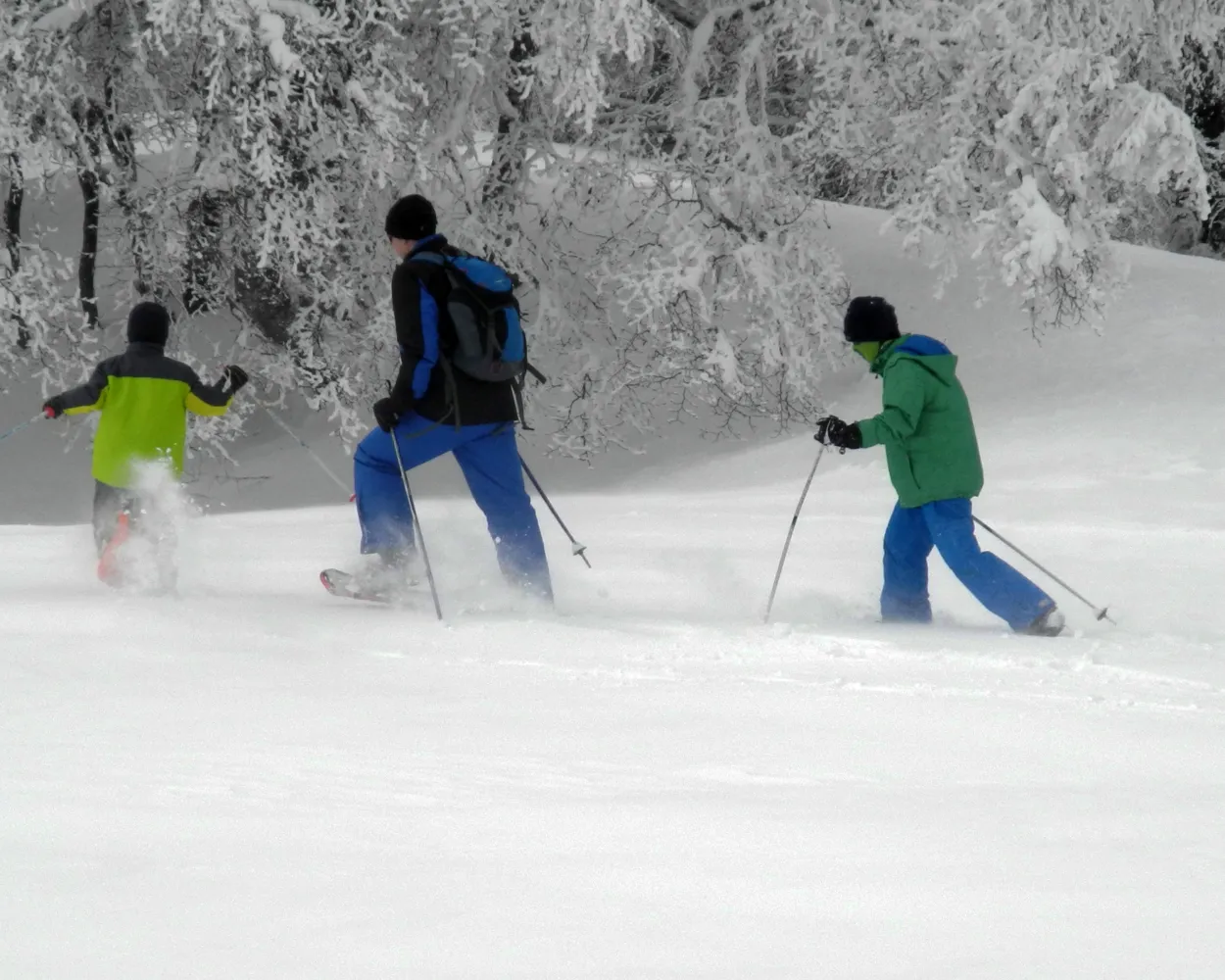
Snowshoe hikers on the Untergrenchenberg can expect to be greeted by the splendid panorama with the Eiger, Mönch and Jungfrau summits at its centre. The loop trail then passes the once proud Längschwang farm and the commemorative stone for popular Federal Councilor Willi Ritschard of Solothurn who died there in 1983.
5 km200 m200 m2h 15mTour published by:
SwitzerlandMobility
Learn more on
schweizmobil.ch
| IR16 (9m) | |
| IR55 (29m) | |
| 28 (30m) | |



