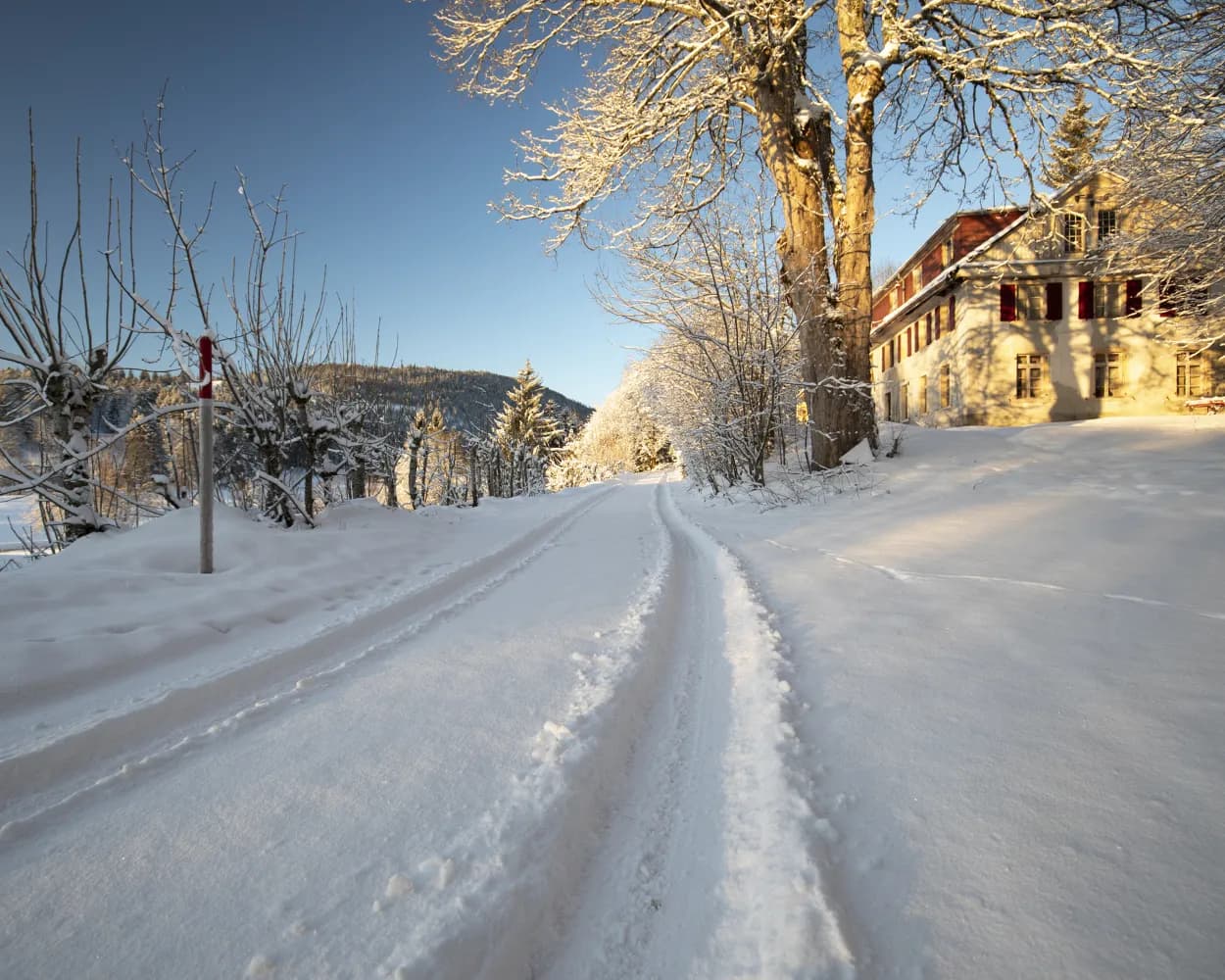
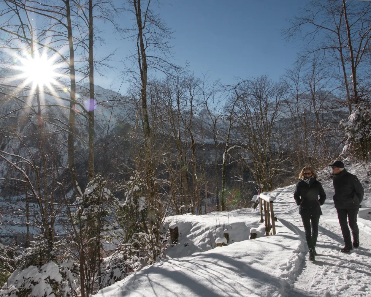
Relaxed or more challenging: these winter hikes are all reachable from Aarau by public transport. From easy panoramic walks to longer alpine routes, there’s something for every level of winter hiker.
The destinations below are sorted by travel time from Aarau to make planning easier. Be sure to check the map to explore all winter hikes and thousands of other outdoor activities reachable from any starting point in Switzerland.
Much more on ovunta.com/en/map
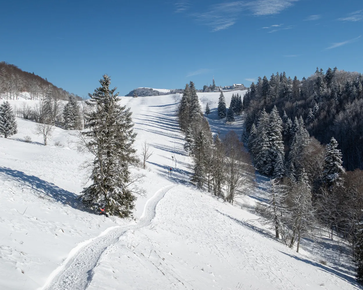
This fascinating panorama trail follows the route of the old Rigi Scheidegg Railway on flat terrain as far as Unterstetten, then continues on a gentle incline to Rigi Scheidegg.
 7 km
7 km 220 m
220 m 20 m
20 m 2h 20m
Tour published by:
SwitzerlandMobility
Learn more on
schweizmobil.ch
| Aarau (08:50) | |
| RE6 (51m) | |
| Arth-Goldau (09:41) |
| Arth-Goldau RB (09:55) | |
| 81 (8m) | |
| Kräbel (10:03) |
| Kräbel (Talstation Scheidegg) (10:05) | |
| PB (6m) | |
| Rigi Scheidegg (10:11) |
On this winter hiking trail, you can escape the fog and enjoy the mystical mood in the open landscape of the upland moor, the largest in Switzerland. It lies in a high valley where the Biber river flows in its natural bed.
7 km50 m50 m2h 5mTour published by:
SwitzerlandMobility
Learn more on
schweizmobil.ch
| Aarau (08:50) | |
| RE6 (51m) | |
| Arth-Goldau (09:41) |
| Arth-Goldau (09:54) | |
| S31 (17m) | |
| Rothenthurm (10:11) |
A revolving gondola, a foot suspension bridge and a spectacular view of the Schwyz basin, the surrounding mountains and lakes – the Engelstock Circuit Trail offers a leisurely hike full of variety.
5 km220 m220 m1h 50mTour published by:
SwitzerlandMobility
Learn more on
schweizmobil.ch
| Aarau (08:50) | |
| RE6 (51m) | |
| Arth-Goldau (09:41) |
| Arth-Goldau (09:54) | |
| S31 (10m) | |
| Sattel (10:04) |
| Sattel (Talstat. Hochstuckli) (10:10) | |
| GB (8m) | |
| Sattel Mostelberg (Bergstat.) (10:18) |
Grey below, luminous blue above: it’s time for Mount Weissenstein. Those sick of the fog can enjoy a winter hike on Solothurn’s local mountain, which offers splendid views of the Swiss Plateau to Mount Säntis and Mont Blanc.
4 km90 m90 m1h 15m
Landscape: With panoramic views
Tour published by:
SwitzerlandMobility
Learn more on
schweizmobil.ch
| Aarau (08:30) | |
| IC5 (28m) | |
| Solothurn (08:58) |
| Solothurn, Hauptbahnhof (09:04) | |
| 1 (15m) | |
| Oberdorf SO, Endhalt (09:19) |
| Oberdorf SO (Talstation) (09:49) | |
| 2026 (12m) | |
| Weissenstein (10:01) |
The journey from the town of Zug into the open countryside takes just eight minutes. The Zugerberg circuit through the high moorlands offers much more than just a phenomenal view of the town, Lake Zug, and the surrounding mountain landscape.
9 km240 m240 m3h 0mLandscape: With panoramic views,Through a Swiss Park
Tour published by:
SwitzerlandMobility
Learn more on
schweizmobil.ch
| Aarau (08:31) | |
| IC5 (25m) | |
| Zürich HB (08:56) |
| Zürich HB (09:05) | |
| IC2 (24m) | |
| Zug (09:29) |
| Zug, Metalli/Bahnhof (09:38) | |
| 603 (12m) | |
| Zug, Schönegg (09:50) |
| Schönegg (09:56) | |
| 2566 (8m) | |
| Zugerberg (10:04) |
This easy high-altitude walk on the queen of mountains features magnificent views out over the Swiss plateau to the Black Forest, the Vosges mountains and the Alps, as well as a breath-taking bird’s-eye view of Lake Lucerne and Lake Zug.
4 km20 m340 m1h 15mTour published by:
SwitzerlandMobility
Learn more on
schweizmobil.ch
| Aarau (08:50) | |
| RE6 (51m) | |
| Arth-Goldau (09:41) |
| Arth-Goldau RB (09:55) | |
| 81 (34m) | |
| Rigi Staffel (10:29) |
This winter hike across the high St. Karl and Oberberg plateaus guarantees some truly impressive views. Enjoy the mountains of central Schwyz as you pass snow-topped coniferous forests and craggy rock formations.
6 km360 m360 m2h 30mLandscape: With panoramic views,Through a Swiss Park
Tour published by:
SwitzerlandMobility
Learn more on
schweizmobil.ch
| Aarau (08:50) | |
| RE6 (51m) | |
| Arth-Goldau (09:41) |
| Arth-Goldau (09:54) | |
| IR26 (7m) | |
| Schwyz (10:01) |
| Schwyz, Bahnhof (10:13) | |
| 505 (24m) | |
| Rickenbach SZ, Gründel/St Karl (10:37) |

Always an experience – the mighty Grosse Mythen and the view straight down to the basin of Schwyz, the area’s main town with its widely scattered settlements. A couple of breezy tips: Watch the paragliders take off from their launch site and let your eyes wander to Einsiedeln’s ski jumps on the way back.
2 km70 m70 m35mTour published by:
SwitzerlandMobility
Learn more on
schweizmobil.ch
| Aarau (08:50) | |
| RE6 (51m) | |
| Arth-Goldau (09:41) |
| Arth-Goldau (09:54) | |
| IR26 (7m) | |
| Schwyz (10:01) |
| Schwyz, Bahnhof (10:11) | |
| 503 (12m) | |
| Rickenbach SZ, Rotenfluebahn (10:23) |
| Rickenbach SZ (Rotenfluebahn) (10:25) | |
| 2569 (15m) | |
| Rotenflue (Mythenregion) (10:40) |
Engelberg’s Grotto Trail leads to the «End of the World». This high-altitude path takes walkers through a snowy landscape with views of Engelberg, past the famous «seven springs», and on to the Lourdes grotto and Horbis.
6 km170 m170 m2h 5mTour published by:
SwitzerlandMobility
Learn more on
schweizmobil.ch
| Aarau (08:30) | |
| IC5 (9m) | |
| Olten (08:39) |
| Olten (08:49) | |
| IR27 (41m) | |
| Luzern (09:30) |
| Luzern (09:36) | |
| IRLEX (45m) | |
| Engelberg (10:21) |
This winter hiking trail takes you to the most scenic lookout points around Aeschi. Several benches invite you to linger and admire the views. The ever-changing views of the Frutigtal valley, Mount Niesen, Lake Thun and the peaks above the fog line are without equal.
6 km200 m200 m2h 10mLandscape: With panoramic views,Through a Swiss Park
Tour published by:
SwitzerlandMobility
Learn more on
schweizmobil.ch
| Aarau (08:30) | |
| IC5 (9m) | |
| Olten (08:39) |
| Olten (08:58) | |
| IC6 (1h 5m) | |
| Spiez (10:03) |
| Spiez, Bahnhof (10:08) | |
| 63 (13m) | |
| Aeschi b. Spiez, Post (10:21) |


