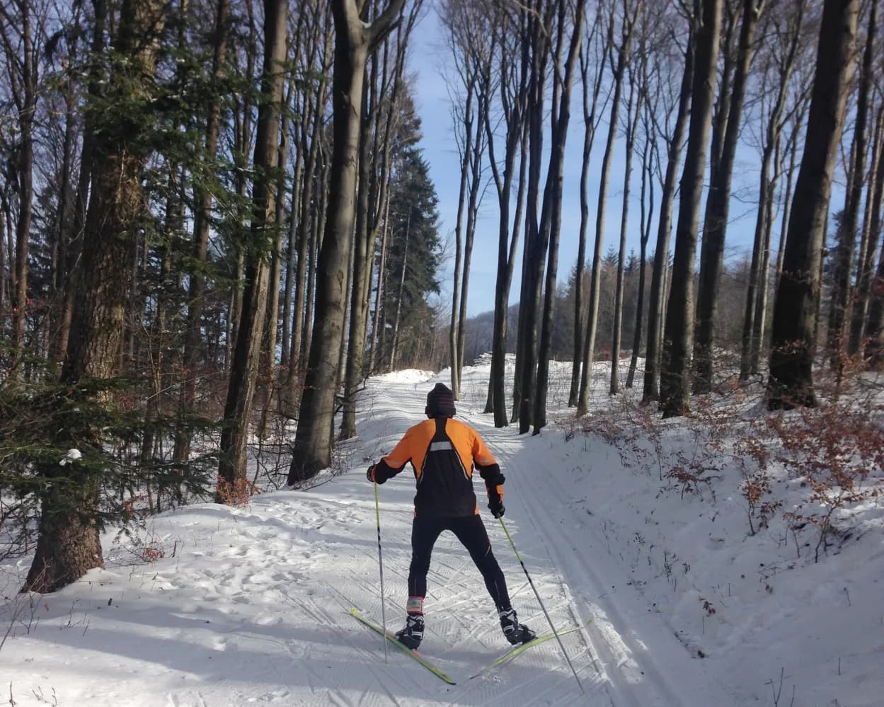
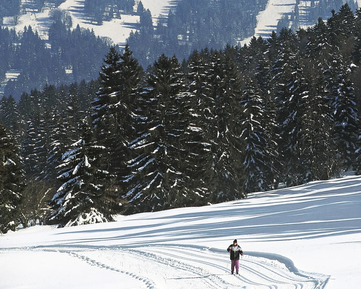
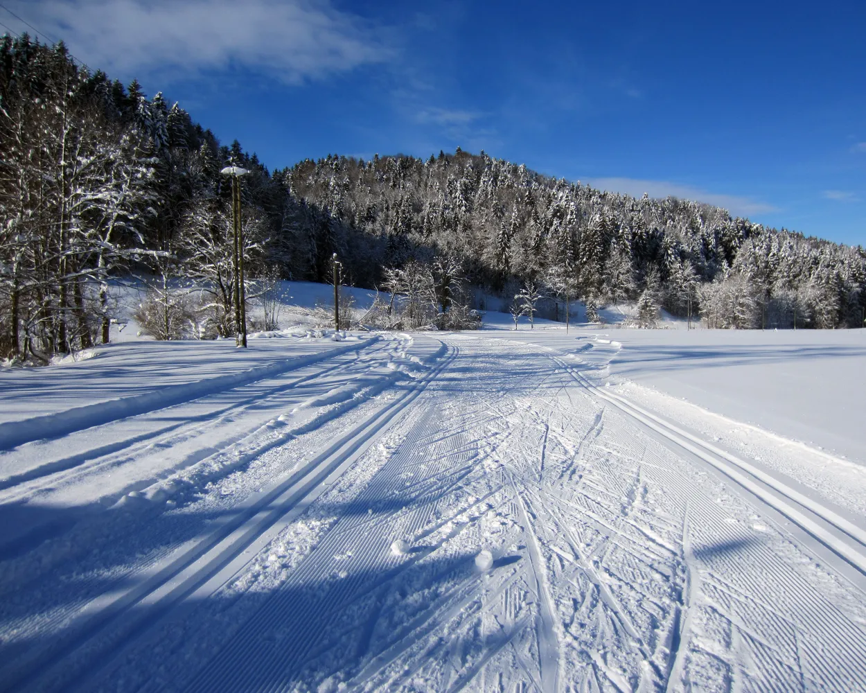
Whether skating or classic: these ten cross-country skiing destinations are all reachable from Basel by public transport. From romantic forest tracks to scenic high-altitude loops, there’s something for every level of Nordic skier.
The destinations below are sorted by travel time from Basel SBB to make your planning easier. Make sure to visit the map to explore all cross-country skiing areas and thousands of other outdoor activities reachable from any starting point in Switzerland.
Much more on ovunta.com/en/map
Home to Switzerland's national sports centre, this resort above Biel/Bienne in the Jura foothills combines athletic heritage with forest trails. The terrain attracts both recreational skiers and those with a more competitive mindset seeking structured training conditions.
 12.5 km
Learn more on
j3l.ch
| Basel SBB (08:32) | |
| IC51 (1h 9m) | |
| Biel/Bienne (09:41) |
| Biel/Bienne Magglingenb.(Funi) (09:57) | |
| 22 (6m) | |
| Magglingen/Macolin (10:03) |
| Magglingen, Seilbahn (10:10) | |
| 79 (3m) | |
| Magglingen, End der Welt (10:13) |
Known as the heart of the Franches-Montagnes horse-breeding region, Saignelégier sits on a broad plateau dotted with traditional farms. The area features gently undulating terrain ideal for exploring the open, windswept pastures typical of this unique Jura landscape.
18.4 kmLearn more on
snow.myswitzerland.com
| Basel SBB (08:32) | |
| IC51 (35m) | |
| Delémont (09:07) |
| Delémont (09:21) | |
| R2 (16m) | |
| St-Ursanne (09:37) |
| St-Ursanne, gare (09:40) | |
| 62 (44m) | |
| Montfaucon, poste (10:24) |

Varied circular route under the crest of the Gisliflue in the Jura mountains of Aargau. Partly through the wood, and partly along the wood's edge, the route provides magnificent views over the Jura mountains close by to the entire Alpine range.
9.6 kmTour published by:
SwitzerlandMobility
Learn more on
schweizmobil.ch
| Basel SBB (08:36) | |
| IR36 (29m) | |
| Frick (09:05) |
| Frick, Bahnhof (09:21) | |
| 135 (20m) | |
| Staffelegg, Passhöhe (09:41) |
You can also enjoy cross-country skiing in Aargau: in the natural arena of Moos near Leutwil for example. The loop with several challenging uphill and downhill sections first crosses an open landscape before taking you around the edge of the wood.
3.3 kmTour published by:
SwitzerlandMobility
Learn more on
schweizmobil.ch
| Basel SBB (08:43) | |
| IR37 (46m) | |
| Lenzburg (09:29) |
| Lenzburg, Bahnhof (09:35) | |
| 395 (38m) | |
| Leutwil, Dorfplatz (10:13) |
Get to know Switzerland from its authentic side: far from any main road, the Rickenbach cross-country skiing trail wends its way through the scenic Michelsamt region amid hills, open fields and rustic farms.
7.6 kmTour published by:
SwitzerlandMobility
Learn more on
schweizmobil.ch
| Basel SBB (08:43) | |
| IR37 (38m) | |
| Aarau (09:21) |
| Aarau (09:26) | |
| S14 (37m) | |
| Menziken (10:03) |
| Menziken, Bahnhof (10:06) | |
| 50 (7m) | |
| Beromünster, Post (10:13) |
| Beromünster, Post (10:15) | |
| 52 (5m) | |
| Rickenbach LU, Dorf (10:20) |
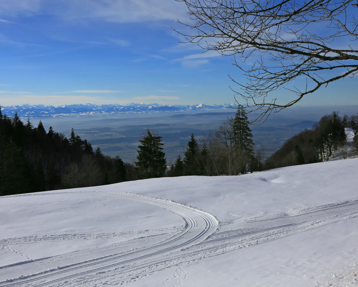
This magnificent route between the Cantons of Berne and Neuchâtel boasts a unique panorama over the plateau and the Alps. On a clear day you can even see the peak of Mont Blanc in the far distance.
23.3 kmTour published by:
SwitzerlandMobility
Learn more on
snow.myswitzerland.com
and on
schweizmobil.ch
| Basel SBB (08:32) | |
| IC51 (1h 9m) | |
| Biel/Bienne (09:41) |
| Biel/Bienne (09:47) | |
| RE4 (25m) | |
| St-Imier (10:12) |
| St-Imier, gare (10:17) | |
| 121 (7m) | |
| Le Plan-Marmet (10:24) |
Cross-country skiing south of Lake Thun in the winter wonderland of the Suldtal valley, a nature reserve at the foot of the Morgenberghorn. Enjoy total tranquillity, broken only by the gurgling waters of the Suldbach stream or the wingbeat of a golden eagle.
18.4 kmTour published by:
SwitzerlandMobility
Learn more on
snow.myswitzerland.com
and on
schweizmobil.ch
| Basel SBB (08:53) | |
| IC6 (1h 3m) | |
| Bern (09:56) |
| Bern (10:04) | |
| IC81 (30m) | |
| Spiez (10:34) |
| Spiez, Bahnhof (10:38) | |
| 62 (10m) | |
| Aeschi b. Spiez, Mustermattli (10:48) |
The Kalthof-Wiliberg ski run is seen as an insider tip in the centre of the country. The varied and slightly hilly route over the plateau between the Suhrental and the Uerkental valley provides a view of the Alps and the Jura mountain chain.
7.3 kmTour published by:
SwitzerlandMobility
Learn more on
schweizmobil.ch
| Basel SBB (08:43) | |
| IR37 (38m) | |
| Aarau (09:21) |
| Aarau (09:42) | |
| S14 (21m) | |
| Schöftland (10:03) |
| Schöftland, Bahnhof (10:35) | |
| 85 (3m) | |
| Staffelbach, Gemeindehaus (10:38) |
Whether it’s a leisurely stroll or fast-paced cross-country skiing – on Mount Weissenstein above Solothurn, everyone can escape the fog of the Swiss Plateau and enjoy marvellous views.
3 kmTour published by:
SwitzerlandMobility
Learn more on
schweizmobil.ch
| Basel SBB (08:32) | |
| IC51 (49m) | |
| Moutier (09:21) |
| Moutier (09:54) | |
| S21 (16m) | |
| Oberdorf SO (10:10) |
| Oberdorf SO (Talstation) (10:15) | |
| 2026 (12m) | |
| Weissenstein (10:27) |
Located in the heart of the Zurich Oberland, the Bäretswil-Maiwinkel cross-country ski trail leads over undulated terrain and offers outstanding natural beauty. The region is a popular local recreation area as it is known to have little fog and is easily accessible.
10.7 kmTour published by:
SwitzerlandMobility
Learn more on
schweizmobil.ch
| Basel SBB (08:36) | |
| IR36 (1h 7m) | |
| Zürich Altstetten (09:43) |
| Zürich Altstetten (09:46) | |
| S5 (29m) | |
| Wetzikon ZH (10:15) |
| Wetzikon ZH, Bahnhof (10:20) | |
| 850 (14m) | |
| Bäretswil, Oberdorf (10:34) |


