Discover thrilling mountain biking trails accessible from Disentis by public transport. From the scenic Caischavedra Trail with views of the Medel glacier to challenging routes in Val Medel and beyond, these rides offer diverse terrains and breathtaking Alpine scenery. Whether you're looking for a quick ride or an all-day adventure, the Graubünden region has something for every mountain biker.
The following trails are sorted by travel time from Disentis, making it easy to plan your next two-wheeled expedition in the Swiss Alps. Check out the map to explore thousands of destinations and activities, reachable from any starting point in Switzerland.
Much more on ovunta.com/en/map
Departing from St.Moritz, this e-bike tour takes you to the heart of the Swiss Alps, through three cantons, over three legendary passes, along three iconic rivers, to the famous village of Zermatt. While the first seven legs take mountain bikers from the upper Engadine valley to Andermatt, the Furka Pass marks the entry into Valais at the tour's highest point, 2,429 m above sea level. There's no shortage of highlights here, with the first near the Rhône glacier, where the river rises before becoming France's largest, hundreds of kilometres further on. From mountainous landscapes to vineyards, from glaciers to forests, from Alpine parks to lowland towns, from riversides to the heart of valleys, Valais unveils a varied and exhilarating route, crossing the magnificent Goms valley, the Binntal and the town of Visp before heading up the Zermatt valley for a breathtakingly beautiful finish at the foot of the Matterhorn.
 379.95 km
 9000 m
 9150 m
 41h 15m
Difficulty: Medium

Maximum elevation: 2429m

Minimum elevation: 658m
Learn more on
valais.ch
| Disentis/Mustér (08:50) | |
| RE7 (8m) | |
| Sumvitg-Cumpadials (08:58) |
Grandiose circular tour high above the Surselva to the foot of the Tödi. From Disentis you experience the openness of the Surselva on the slopes on both sides before you enter the isolate Val Russein. You return along the Rhine to Disentis.
47 km2200 m2200 mTour published by:
SwitzerlandMobility
Learn more on
schweizmobil.ch

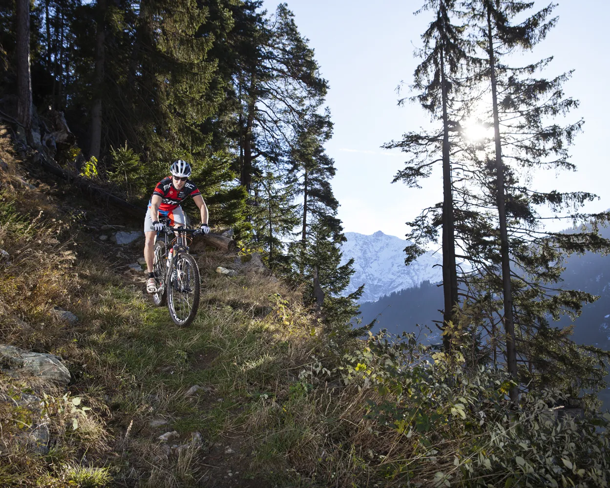
Long ascent from peaceful Val Lumnezia to Alp Sezner. The descent into Surselva on easy meadow trails is like flying. From Trun an almost effortless pedal in shady meadow woodland along the Vorderrheins with its shingle banks and islands.
40 km1250 m1650 m
Landscape: With panoramic views
Tour published by:
SwitzerlandMobility
Learn more on
schweizmobil.ch

There is no better way to experience Switzerland’s fascination than by biking through the Alps. Over numerous passes, always through new valleys. A route that is extremely challenging in terms of technique and fitness but also incredibly fascinating.
670 km24300 m24300 mLandscape: Through a Swiss Park,Over a pass,With panoramic views
Tour published by:
SwitzerlandMobility
Learn more on
schweizmobil.ch
This circular route leads through the middle of the Sedrun holiday region in two loops. Shady mountain forest alternates with great panoramas of glaciers and peaks. Pretty alpine farms and diverse flower meadows characterise this route.
27 km1200 m1200 mTour published by:
SwitzerlandMobility
Learn more on
schweizmobil.ch
| Disentis/Mustér, staziun/posta (10:01) | |
| 140 (4m) | |
| Mumpé Medel, spartavias (10:05) |
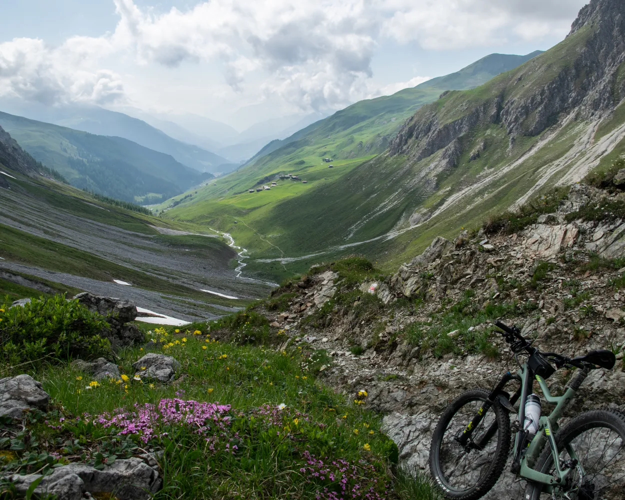
From Cuolm da Vi you take the Catrina Flow Trail, which winds smoothly down to Caischavedra via waves and curves. You share the flower-lined mountain trail to Bostg with hikers. From the scenic mountain, the trail, partly flowing and partly technical, meanders down to the monastery town of Disentis. The postbus takes you up to the Lukmanier. On the way to Campra is the Centro Pro Natura Lucomagno.
27 km500 m2100 mTour published by:
SwitzerlandMobility
Learn more on
schweizmobil.ch
Covering around 120 kilometres, this tour connects the four cantons of Valais, Uri, Grisons and Ticino in five stages. You cross four passes: you start on the Nufenen Pass, followed by Furka, Oberalp and Lukmanier. There is also plenty of trail fun to be had on the tour around the Gotthard. You can miss out some of the climb by taking postbuses, trains and cable cars.
120 km2400 m7600 mTour published by:
SwitzerlandMobility
Learn more on
schweizmobil.ch
| Disentis/Mustér, staziun/posta (10:01) | |
| 140 (11m) | |
| Platta, vitg (10:12) |
This tour connects the four cantons of Ticino, Grisons, Uri and Valais in four stages. From Airolo it runs around the Gotthard in a 120-kilometre counterclockwise direction. You can avoid some of the climb by using cable cars, postbuses and trains. There is no shortage of fun on this trail, on the 6000 metres down to Oberwald.
105 km2300 m6000 mTour published by:
SwitzerlandMobility
Learn more on
schweizmobil.ch
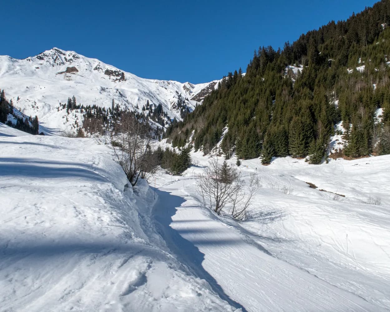
The Lukmanier is a historic pass that has been used for centuries. This historic stage connects the top of the pass with Disentis. Technically easy to negotiate on the Via Lucmagn via Val Medel, the path then climbs up to Mumpé Medel and back down to the monastery village.
25 km520 m1300 mTour published by:
SwitzerlandMobility
Learn more on
schweizmobil.ch
| Disentis/Mustér, staziun/posta (10:01) | |
| 140 (12m) | |
| Platta, Pardé (10:13) |
Breathtaking Alpine bike tour with a vast total height difference, sensational passes and incredible long- distance views. Lovely trails, little asphalt. Mountain bikers will really be in their element on this route, which demands fitness and technique
375 km15300 m15300 mLandscape: Through a Swiss Park,With panoramic views,Over a pass
Tour published by:
SwitzerlandMobility
Learn more on
schweizmobil.ch
| Disentis/Mustér (08:50) | |
| RE7 (17m) | |
| Trun (09:07) |


