Logo
Blog
To the map
Blog header image

Thrilling Mountain Bike Rides from Andermatt

Discover ten exhilarating mountain bike trails accessible from Andermatt by public transport. From the historic Hospental Trail to the panoramic Eggberge-Ruogig route, these rides offer diverse terrains and stunning Alpine vistas. Explore larch forests, glacial valleys, and sunny mountain terraces as you pedal through the heart of Swiss natural beauty.

The following mountain bike rides are sorted by travel time from Andermatt, making it easy to plan your next two-wheeled adventure. Check out the map to explore thousands of destinations and activities, reachable from any starting point in Switzerland.

Discover other activities close to Andermatt

  • Alpine Adventures: Hiking Trails Around Andermatt
  • Skiing Made Simple: Where You Can Reach the Slopes from Andermatt by Train and Bus
  • Sledging runs from Andermatt by public transport
  • Winter Hikes from Andermatt by public transport
  • Accessible Adventures Near Andermatt
1/10

Hospental Trail

Minimum travel time: 4m to Hospental

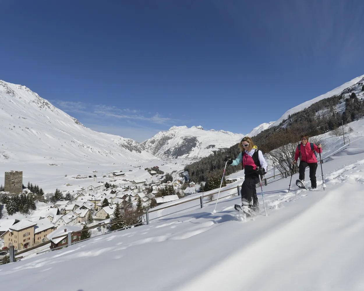
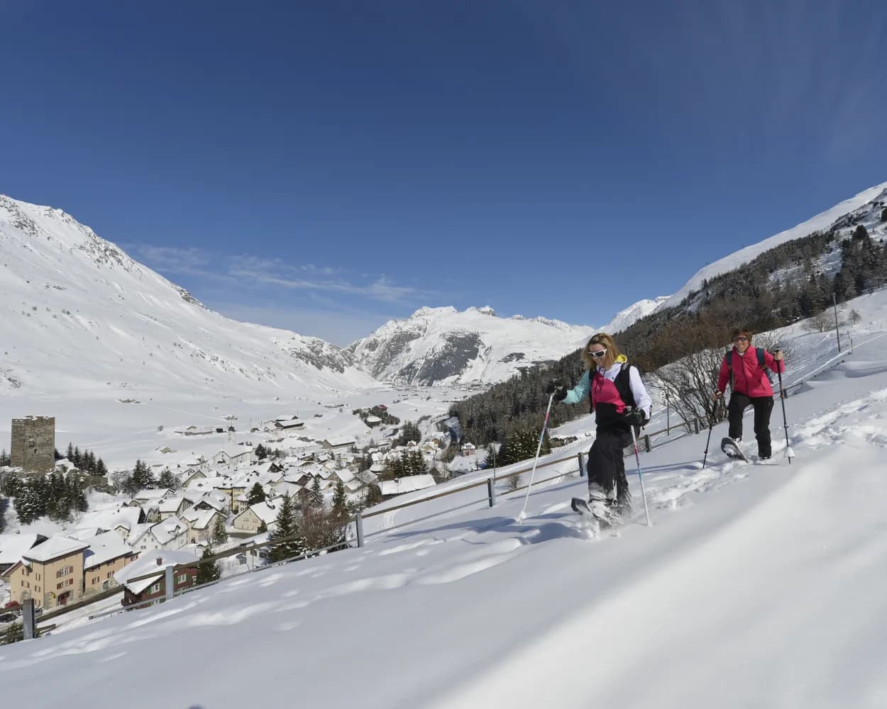
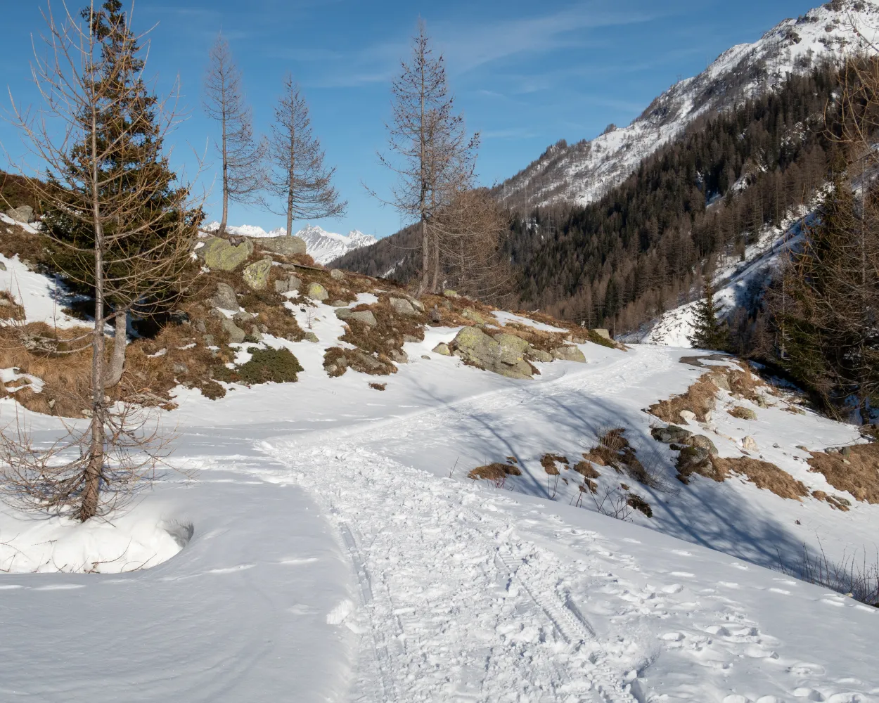
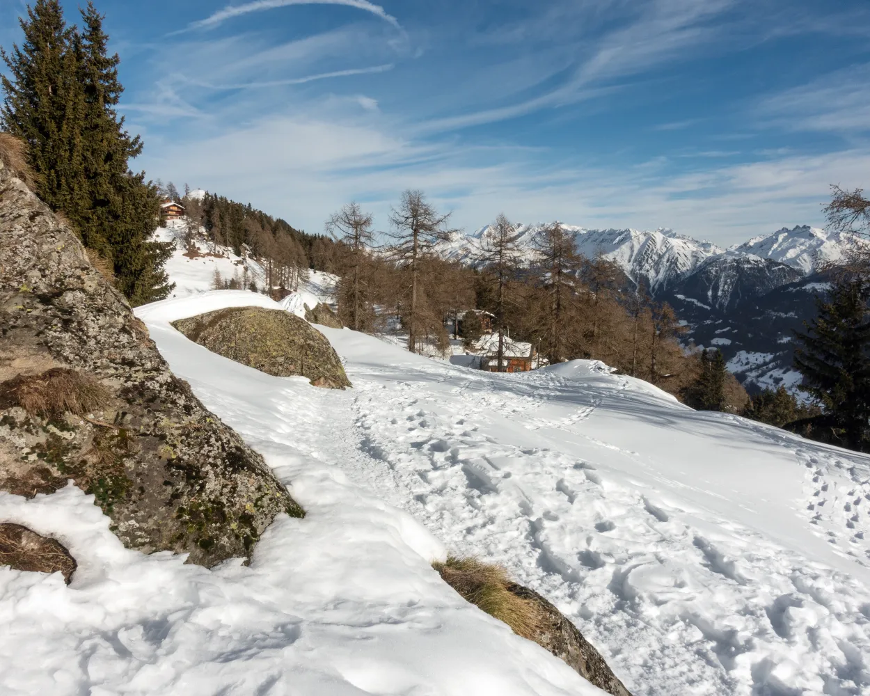
Following the footsteps of the muleteers, this short and technically simple circular trail affords a variety of views into the Ursern Valley. Start and finish at Hospental with its striking Tower of the Lords.

dist4 km
|
asce150 m
|
desc150 m
|
dura1h 40m

    Tour published by:

    SwitzerlandMobility

    Learn more on
    schweizmobil.ch


    How to get to Hospental Trail

    Fastest connection from Andermatt to Hospental: 4m
    Andermatt (08:37)
    R43 (4m)
    Hospental (08:41)
    Search Connections & Buy Tickets on SBB

    Start from elsewhere?

    • Snowshoeing from Grindelwald by public transport
    • Snowshoeing from Weggis by public transport
    • Snowshoeing from Stans by public transport
    2/10

    Schneeschuhtrail Göschenen

    Minimum travel time: 25m to Göschenen, Abfrutt

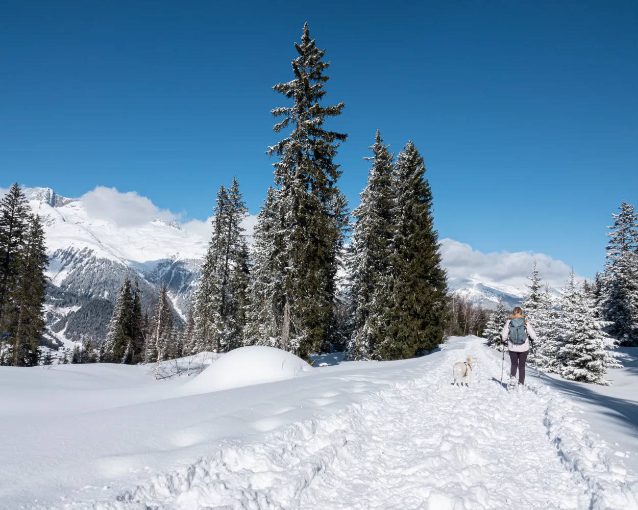
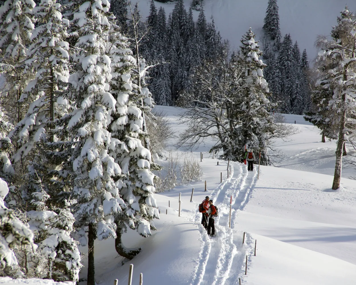
    This picturesque circular route by the railway village of Göschenen takes you along the Reuss tributary and the Bitziwald. Its low gradient makes it a pleasure for inexperienced snowshoe hikers too.

    dist3 km
    |
    asce130 m
    |
    desc130 m
    |
    dura1h 25m

      Tour published by:

      SwitzerlandMobility

      Learn more on
      schweizmobil.ch


      How to get to Schneeschuhtrail Göschenen

      Fastest connection from Andermatt to Göschenen, Abfrutt: 25m
      Walk from Andermatt to Andermatt, Bahnhofplatz
      Andermatt, Bahnhofplatz (08:58)
      162 (10m)
      Göschenen, Bahnhof (09:08)
      Göschenen, Bahnhof (09:15)
      411 (2m)
      Göschenen, Abfrutt (09:17)
      Search Connections & Buy Tickets on SBB
      3/10

      Caischavedra Trail

      Minimum travel time: 57m to Segnas

      A pleasant climb up through the Val Segnas with views of the Medel glacier. From the viewpoint at Caischavedra, you have a wonderful view right into the Surselva. Then you can take the easy way down in the cable car.

      dist4 km
      |
      asce580 m
      |
      desc20 m
      |
      dura2h 35m

        Tour published by:

        SwitzerlandMobility

        Learn more on
        schweizmobil.ch


        How to get to Caischavedra Trail

        Fastest connection from Andermatt to Segnas: 57m
        Andermatt (08:38)
        R45 (57m)
        Segnas (09:35)
        Search Connections & Buy Tickets on SBB
        4/10

        Schneeschuhtrail Fiesch–Fiescheralp

        Minimum travel time: 1h 20m to Fiesch Feriendorf

        You’re sure to feel in perfect harmony with nature during this snowshoe experience in the region of Aletsch Arena. Over the course of the hike you will climb up through forests with snow-covered trees and along the Heimatt trail until you reach Fiescheralp.

        dist5 km
        |
        asce1100 m
        |
        dura4h 40m

          Tour published by:

          SwitzerlandMobility

          Learn more on
          schweizmobil.ch


          How to get to Schneeschuhtrail Fiesch–Fiescheralp

          Fastest connection from Andermatt to Fiesch Feriendorf: 1h 20m
          Andermatt (08:37)
          R43 (1h 20m)
          Fiesch Feriendorf (09:57)
          Search Connections & Buy Tickets on SBB
          5/10

          Percorso Cioss Prato

          Minimum travel time: 1h 26m to Cioss Prato (Bedretto)

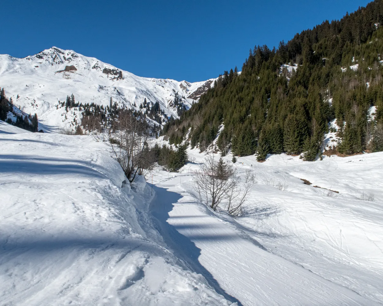
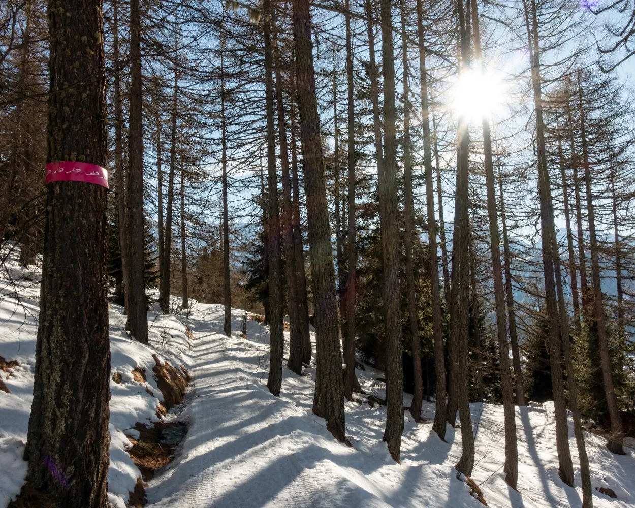
          This educational nature path winds its way through age-old larch woods, exploring the wonderfully unspoilt Bedretto Valley, an enchanting area that is perfect for snowshoe excursions and ski mountaineering. What’s more, when in Cioss Prato: don’t miss out on a visit to the mineral cave.

          dist4 km
          |
          asce180 m
          |
          desc180 m
          |
          dura1h 45m

            Tour published by:

            SwitzerlandMobility

            Learn more on
            schweizmobil.ch


            How to get to Percorso Cioss Prato

            Fastest connection from Andermatt to Cioss Prato (Bedretto): 1h 26m
            Walk from Andermatt to Andermatt, Bahnhofplatz
            Andermatt, Bahnhofplatz (09:10)
            110 (48m)
            Airolo, Stazione (09:58)
            Airolo, Stazione (10:10)
            111 (20m)
            Cioss Prato (Bedretto) (10:30)
            Search Connections & Buy Tickets on SBB
            6/10

            Tegia Nova Trail

            Minimum travel time: 1h 31m to Curaglia, posta

            This physically challenging snow shoe tour on the sunny side of Val Medel leads through unspoilt winter landscapes up and beyond the tree line. Tegia Nova offers spectacular views of the peaks of Val Medel and the upper Surselva region.

            dist10 km
            |
            asce560 m
            |
            desc620 m
            |
            dura4h 50m

              Tour published by:

              SwitzerlandMobility

              Learn more on
              schweizmobil.ch


              How to get to Tegia Nova Trail

              Fastest connection from Andermatt to Curaglia, posta: 1h 31m
              Andermatt (08:38)
              R45 (1h 7m)
              Disentis/Mustér (09:45)
              Walk from Disentis/Mustér to Disentis/Mustér, staziun/posta
              Disentis/Mustér, staziun/posta (10:01)
              140 (8m)
              Curaglia, posta (10:09)
              Search Connections & Buy Tickets on SBB
              7/10

              Arnisee Trail

              Minimum travel time: 1h 31m to Arnisee

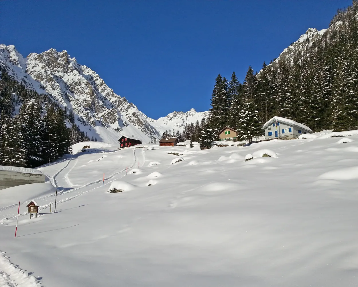
              The trail from the idyllic Lake Arni to Vorderarni affords views of the Reuss Valley and across the mountains. This trail takes you over easy terrain with gentle ups and downs.

              dist7 km
              |
              asce380 m
              |
              desc380 m
              |
              dura3h 20m

                Tour published by:

                SwitzerlandMobility

                Learn more on
                schweizmobil.ch


                How to get to Arnisee Trail

                Fastest connection from Andermatt to Arnisee: 1h 31m
                Walk from Andermatt to Andermatt, Bahnhofplatz
                Andermatt, Bahnhofplatz (08:58)
                162 (10m)
                Göschenen, Bahnhof (09:08)
                Göschenen, Bahnhof (09:46)
                401 (21m)
                Intschi, Seilbahn (10:07)
                Walk from Intschi, Seilbahn to Intschi (Luftseilbahn Arnisee)
                Intschi (Luftseilbahn Arnisee) (10:15)
                PB (8m)
                Arnisee (10:23)
                Search Connections & Buy Tickets on SBB
                8/10

                Fleschen Trail

                Minimum travel time: 1h 45m to Bellwald (Talstation Richinen)

                Sunny trail with a steady climb, followed by a somewhat steeper descent. Your efforts will be rewarded with majestic views of two valleys and the peaks of the high-Alpine UNESCO landscape. At the halfway point, you’ll have a chance to stop at a mountain restaurant for a well-deserved break.

                dist6 km
                |
                asce460 m
                |
                desc460 m
                |
                dura3h 25m
                • land

                  Landscape: Through a Swiss Park,Onto a mountain peak,With panoramic views

                Tour published by:

                SwitzerlandMobility

                Learn more on
                schweizmobil.ch


                How to get to Fleschen Trail

                Fastest connection from Andermatt to Bellwald (Talstation Richinen): 1h 45m
                Andermatt (08:37)
                R43 (1h 8m)
                Fürgangen-Bellwald Talstation (09:45)
                Walk from Fürgangen-Bellwald Talstation to Fürgangen (Talstation)
                Fürgangen (Talstation) (09:50)
                2345 (6m)
                Bellwald (Bergstation) (09:56)
                Walk from Bellwald (Bergstation) to Bellwald (Talstation Richinen)
                Search Connections & Buy Tickets on SBB
                9/10

                Schneeschuhtrail Bettmeralp–Riederalp

                Minimum travel time: 1h 50m to Bettmeralp

                It is obvious why this trail is so popular: It is easy, well marked and the 4000-meter peaks of the Valais are always in sight. The peaceful hamlet of Flesch with Valais-style chalets followed by a lovely forest near the Aletschpromenade is also very appealing.

                dist4 km
                |
                asce260 m
                |
                desc260 m
                |
                dura2h 5m
                • land

                  Landscape: Through a Swiss Park,Onto a mountain peak,With panoramic views

                Tour published by:

                SwitzerlandMobility

                Learn more on
                schweizmobil.ch


                How to get to Schneeschuhtrail Bettmeralp–Riederalp

                Fastest connection from Andermatt to Bettmeralp: 1h 50m
                Andermatt (08:37)
                R43 (1h 37m)
                Bettmeralp Talstation (10:14)
                Walk from Bettmeralp Talstation to Bettmeralp Talstation (Seilb.)
                Bettmeralp Talstation (Seilb.) (10:20)
                H3 (7m)
                Bettmeralp (10:27)
                Search Connections & Buy Tickets on SBB
                10/10

                Haldi Trail

                Minimum travel time: 1h 53m to Haldi

                The Haldi trail on the sunny alpine terrace above Schattdorf rewards snowshoers with fantastic views of the Urner valley floor. And that’s not all: it is said to have a healing effect.

                dist7 km
                |
                asce420 m
                |
                desc420 m
                |
                dura3h 40m
                • land

                  Landscape: With panoramic views,Onto an alp

                Tour published by:

                SwitzerlandMobility

                Learn more on
                schweizmobil.ch


                How to get to Haldi Trail

                Fastest connection from Andermatt to Haldi: 1h 53m
                Walk from Andermatt to Andermatt, Bahnhofplatz
                Andermatt, Bahnhofplatz (08:58)
                162 (10m)
                Göschenen, Bahnhof (09:08)
                Göschenen, Bahnhof (09:46)
                401 (48m)
                Schattdorf, Dorf (10:34)
                Walk from Schattdorf, Dorf to Schattdorf (Talstation Haldi)
                Schattdorf (Talstation Haldi) (10:40)
                PB (5m)
                Haldi (10:45)
                Search Connections & Buy Tickets on SBB

                Much more on ovunta.com/en/map