Discover a diverse range of hiking trails easily accessible by public transport from Romanshorn. From the Alpine Panorama Trail offering expansive views of Lake Constance to the cultural path through Appenzellerland, these routes showcase the best of Eastern Switzerland's landscapes. Whether you're looking for a challenging mountain trek or a leisurely walk through picturesque villages, there's something for every hiker.
The following hikes are sorted by travel time from Romanshorn, making it easy to plan your next adventure. Check out the map to explore thousands of destinations and activities, reachable from any starting point in Switzerland.
Much more on ovunta.com/en/map
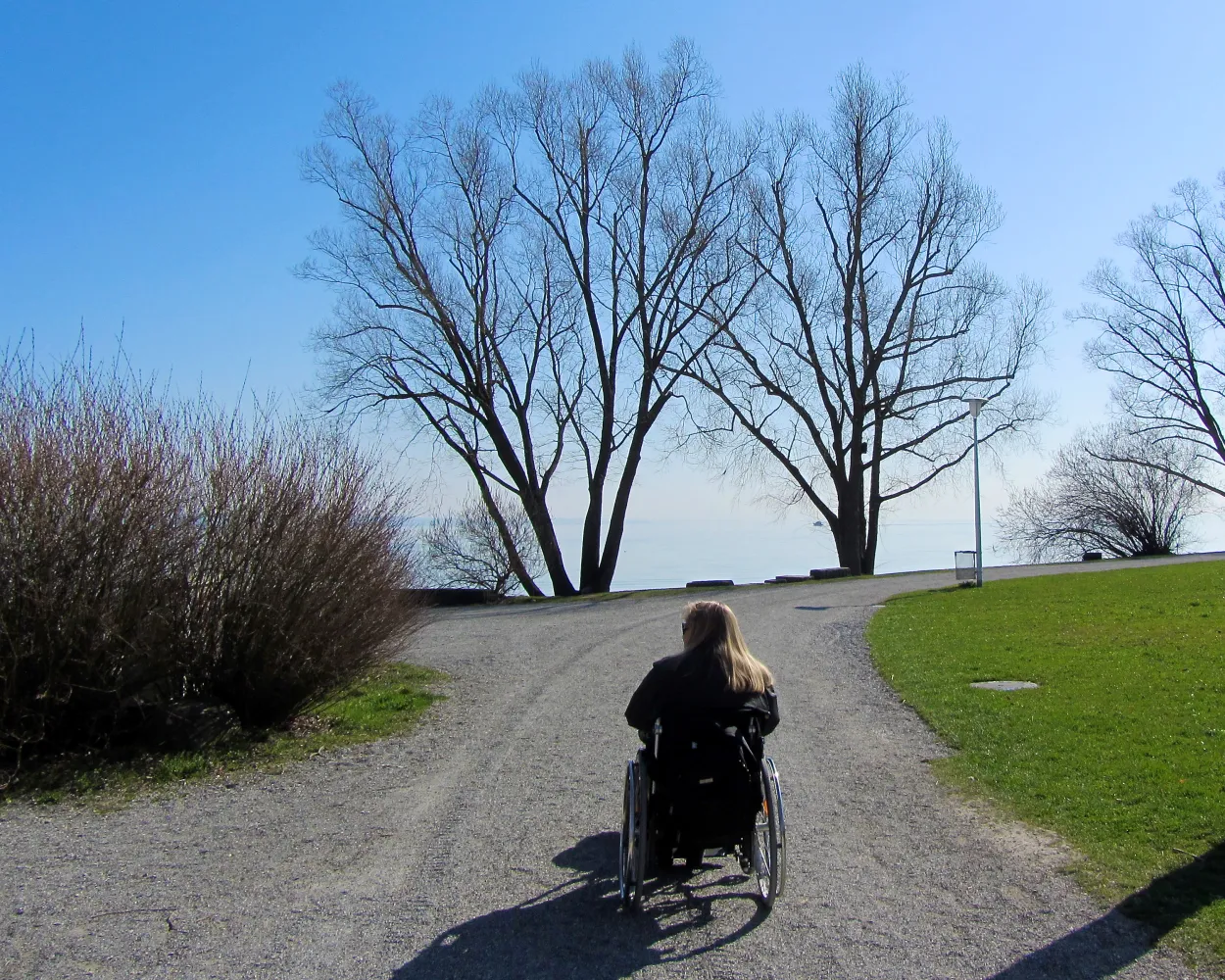
The route from Kreuzlingen along the shores of the Bodensee to Romanshorn gives you a true holiday feeling. The entire stretch affords imposing views of and around the international fresh-water lake.
 22 km
22 km 120 m
120 m 120 m
120 m 5h 20m
Barrier free: Yes

Landscape: With panoramic views,Along the water
Tour published by:
SwitzerlandMobility
Learn more on
schweizmobil.ch
| Romanshorn (08:48) | |
| S1 (3m) | |
| Uttwil (08:51) |
Worth seeing: Hagenwil moated castle with knight’s hall, granary, courtyard tavern, Biedermeier parlour and own wine. After crossing the River Sitter with the last ferry left in Canton Thurgau, the route leads along a root-covered path through a marshland nature reserve.
16 km440 m360 m4h 15mTour published by:
SwitzerlandMobility
Learn more on
schweizmobil.ch
| Romanshorn (08:37) | |
| S10 (5m) | |
| Amriswil (08:42) |
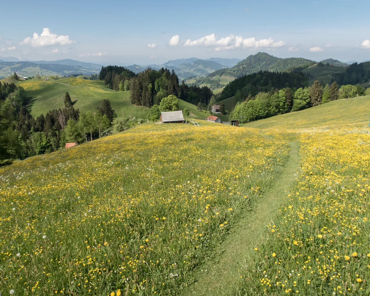
The Thurgauer Panoramaweg leads past orchards and nature reserves, visits a moated castle, passes through classic farming villages and well-preserved old towns as well as over the highest mountain in Thurgau, with views of the Bodensee and Alps.
37 km950 m820 mLandscape: With panoramic views
Tour published by:
SwitzerlandMobility
Learn more on
schweizmobil.ch
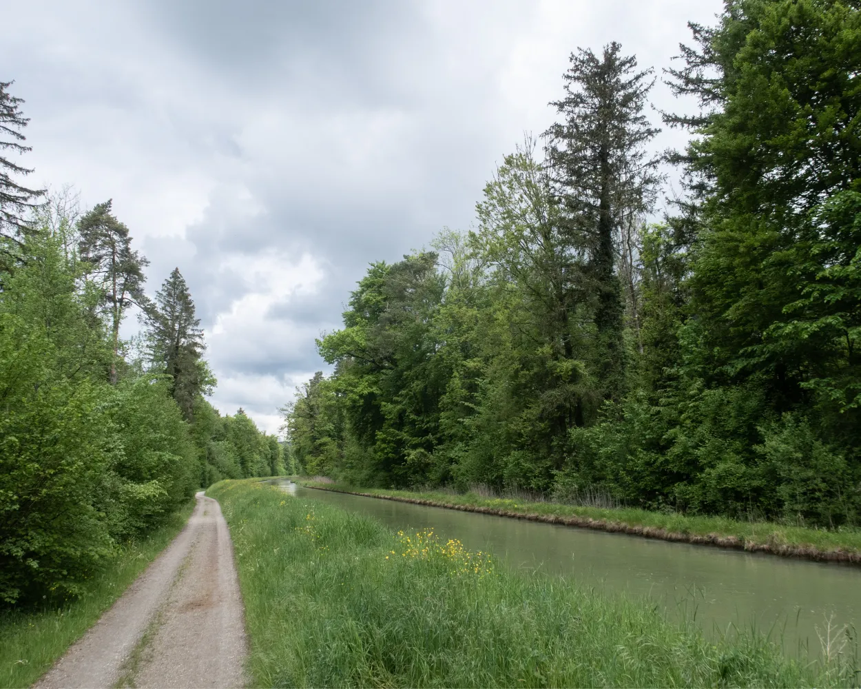
This part of the Thurweg, which starts at Weinfelden, leads you through emerald-green forests alongside the River Thur. Finally you reach Kradolf, a sleepy little village with vibrant nature.
10 km40 m20 m2h 30mBarrier free: Yes
Landscape: Along the water
Tour published by:
SwitzerlandMobility
Learn more on
schweizmobil.ch
| Romanshorn (08:37) | |
| S10 (16m) | |
| Bürglen TG (08:53) |
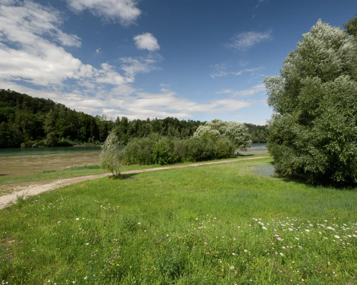
The route follows the Thur to its source on Mount Säntis, through the varied Toggenburg landscape, to the plains of the Thur Valley and the Zurich wine-growing region, where the Thur flows into the Rhine.
160 km1900 m2900 mLandscape: Along the water
Tour published by:
SwitzerlandMobility
Learn more on
schweizmobil.ch

The fifth stage of the Thurweg trail begins in the small town of Bischofszell, also known as the town of roses. The hike runs through diverse landscapes, including small towns and villages, pastures and wooded sections, following the Thur river all the way. The destination for this stage is in Weinfelden.
18 km130 m200 m4h 25mTour published by:
SwitzerlandMobility
Learn more on
schweizmobil.ch

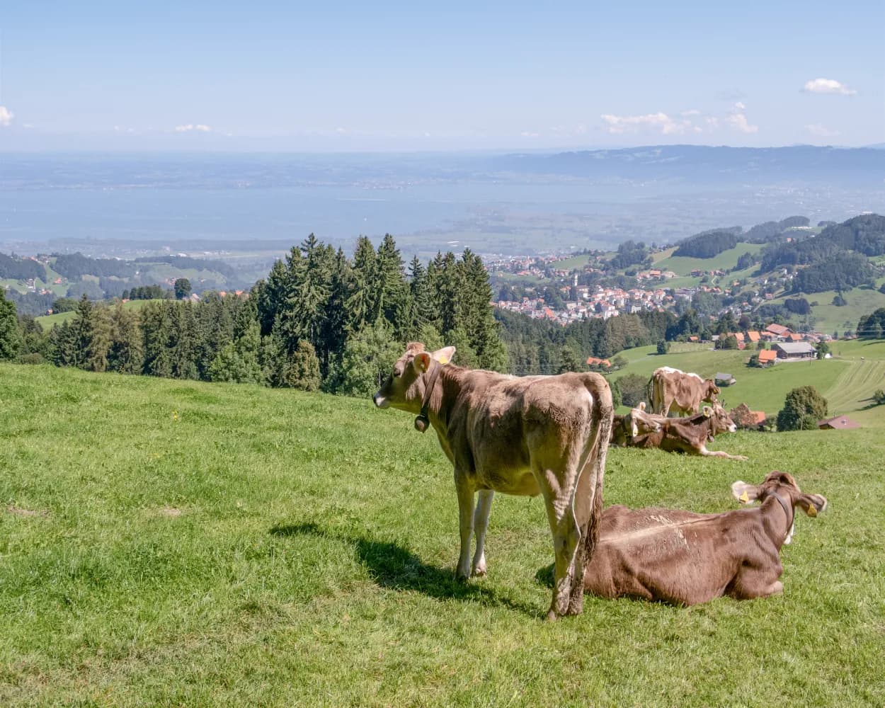
The climb to the health resort of Heiden (Henri Dunant Museum) and to Kaienspitz is rewarded by extensive views of the Bodensee and to Alpstein. Then via Rehetobel down to Chastenloch and up to Trogen, a village where provincial assemblies were once held.
19 km1200 m700 m6h 15mTour published by:
SwitzerlandMobility
Learn more on
schweizmobil.ch
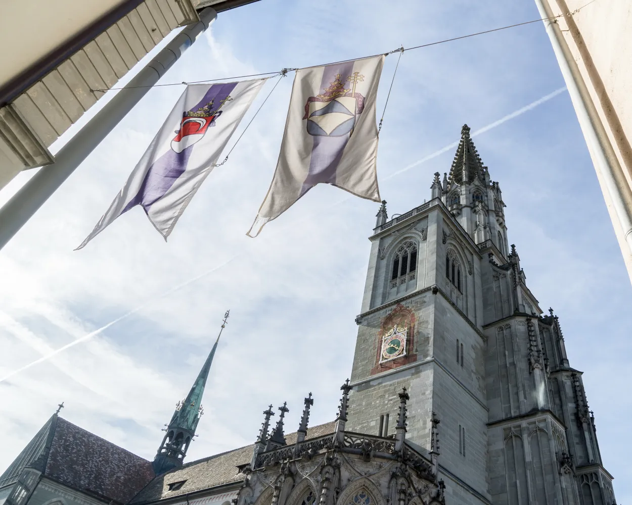
The hike begins at Konstanz Minster and takes you over the Seerücken ridge into the Thurtal valley. St. Jakob’s Church in Märstetten is a stop on the pilgrims’ way from Konstanz to Einsiedeln, a well-known feeder route to the Way of St. James that is also known as the «Schwabenweg», or «Swabian Way».
15 km260 m240 m3h 50mTour published by:
SwitzerlandMobility
Learn more on
schweizmobil.ch
| Romanshorn (08:33) | |
| RE1 (17m) | |
| Konstanz (08:50) |
The ViaJacobi leads from the Bodensee to Genève as part of the European Jakobsweg (Route of St. James). Lined by churches, monasteries and chapels, it offers a fabulous hiking experience along historic paths through a diverse cultural landscape.
450 km11900 m11800 mLandscape: With panoramic views
Tour published by:
SwitzerlandMobility
Learn more on
schweizmobil.ch
| Romanshorn (08:46) | |
| S7 (17m) | |
| Rorschach Hafen (09:03) |

Rorschach, a medieval traffic hub and lake port of St. Gallen, is mentioned as a pilgrimage station around the year 1300. Highlights of the hike to Herisau include a visit to the Abbey Library in St. Gallen and the bridge landscape in Bruggen.
26 km800 m420 m6h 50mTour published by:
SwitzerlandMobility
Learn more on
schweizmobil.ch


