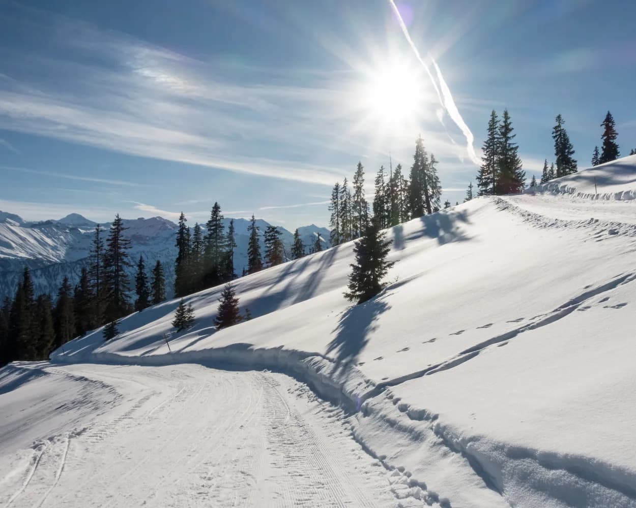
Relaxed or more challenging: these winter hikes are all reachable from Interlaken by public transport. From easy panoramic walks to longer alpine routes, there’s something for every level of winter hiker.
The destinations below are sorted by travel time from Interlaken to make planning easier. Be sure to check the map to explore all winter hikes and thousands of other outdoor activities reachable from any starting point in Switzerland.
Much more on ovunta.com/en/map
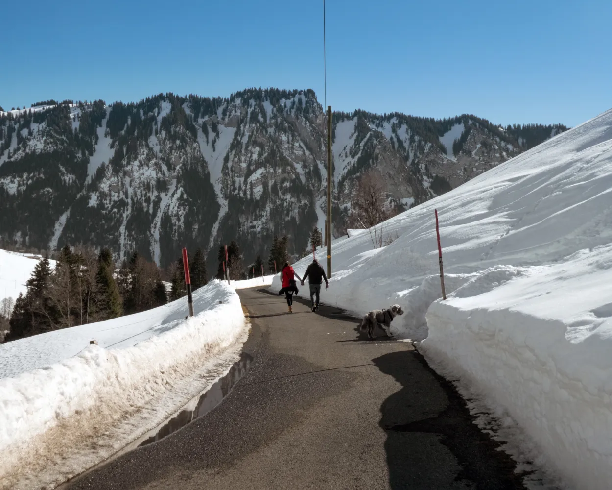
A winter hiking paradise around the small mountain farming village of Habkern, at the foot of the Hohgant and Sieben Hengste peaks, where eagles and lynx dwell. This area, also the source of the Emme River, offers a wealth of impressive views.
 4 km
 130 m
 130 m
 1h 30m
 Landscape: Along the water, With panoramic views
Tour published by:
SwitzerlandMobility

Panoramic hiking high above the rugged Lauterbrunnen valley, with fantastic views over the world-famous mountain trio of Eiger, Mönch and Jungfrau. The path ascends gently through light mountain forest and over meadows.
4 km190 m40 m1h 35mTour published by:
SwitzerlandMobility
Learn more on
schweizmobil.ch
and on
myswitzerland.com
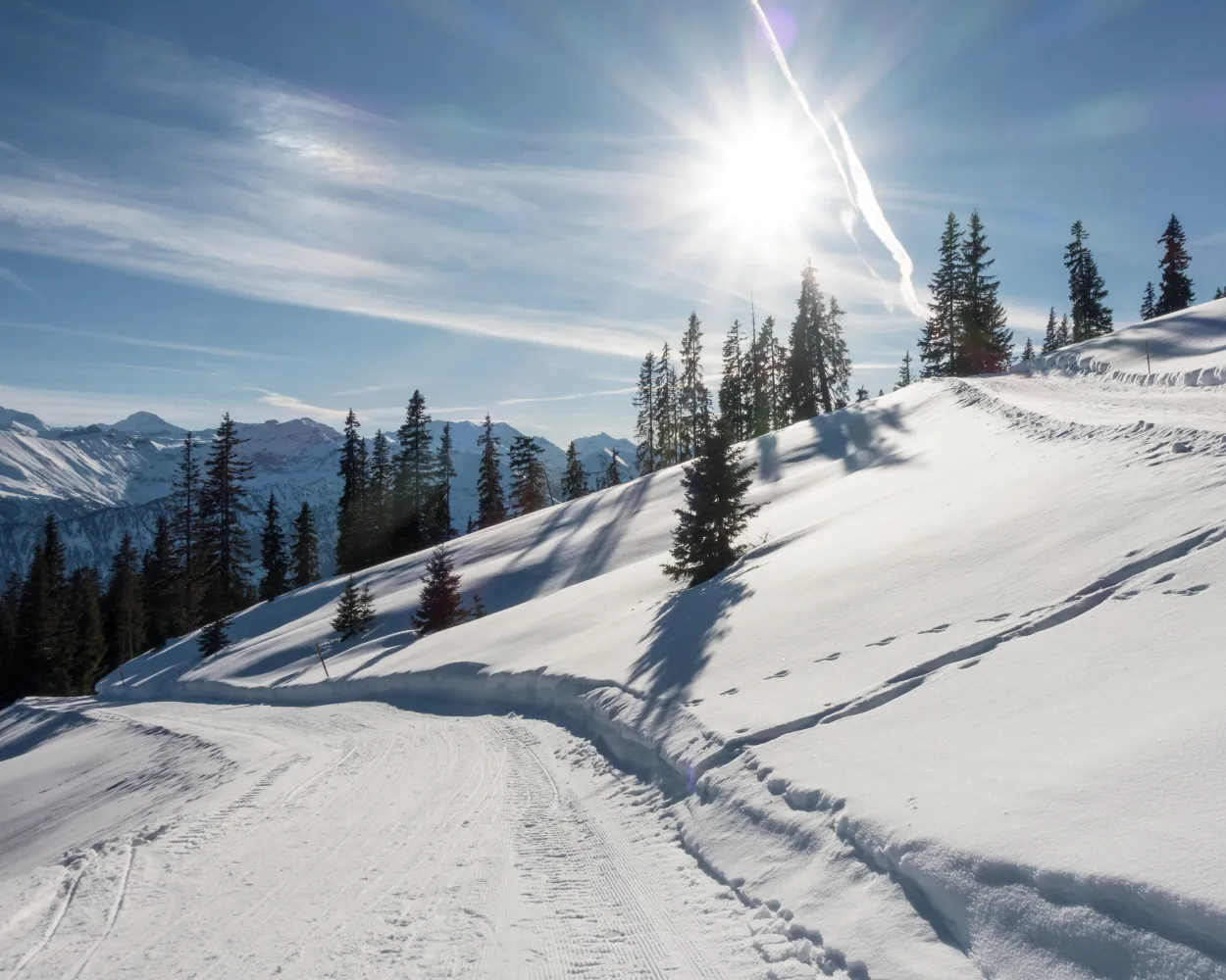
Above Lake Thun, a continuous downhill trail from Mount Niederhorn to the hamlet of Waldegg. The combination of snow-covered mountains and views of Lake Thun is unparalleled. Enchanting vistas await you at 1950 metres above sea level.
10 km140 m880 m3h 30mTour published by:
SwitzerlandMobility
Learn more on
schweizmobil.ch
and on
myswitzerland.com
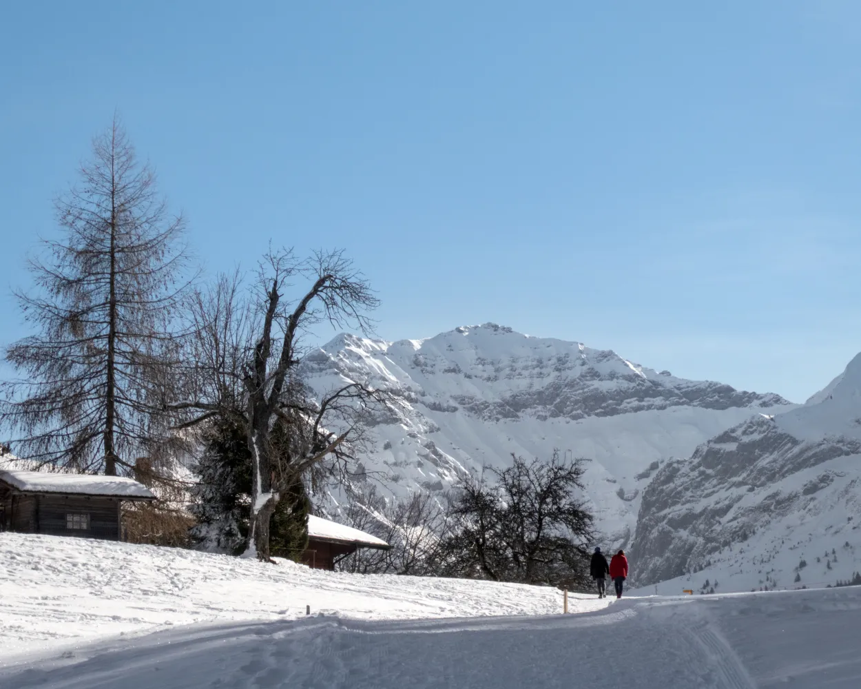
This winter hiking trail takes you to the most scenic lookout points around Aeschi. Several benches invite you to linger and admire the views. The ever-changing views of the Frutigtal valley, Mount Niesen, Lake Thun and the peaks above the fog line are without equal.
6 km200 m200 m2h 10mLandscape: Through a Swiss Park, With panoramic viewsTour published by:
SwitzerlandMobility
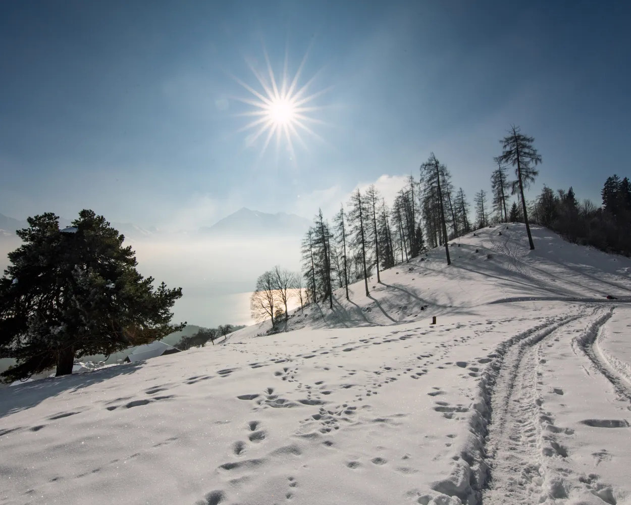
Romantic winter hiking trail high above Lake Thun, leading past the cantonal recuperation clinic and through glittering winter forests. Enjoy expansive views of the Bernese Alps above the fog line.
9 km240 m240 m3h 0mLandscape: Onto an alp, With panoramic viewsTour published by:
SwitzerlandMobility
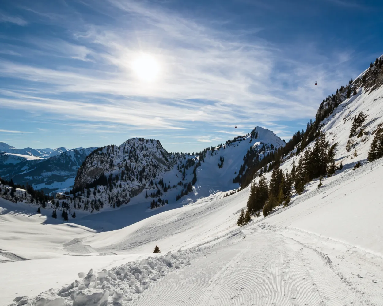
This route takes you from the Chrindi midway station past Lake Hinterstocken and then up to the idyllic Oberbärgli Alpine huts on Mount Lasenberg. A memorable experience of nature that will gradually make you forget the everyday routine.
3 km200 m200 m1h 15mTour published by:
SwitzerlandMobility
Learn more on
schweizmobil.ch
and on
myswitzerland.com
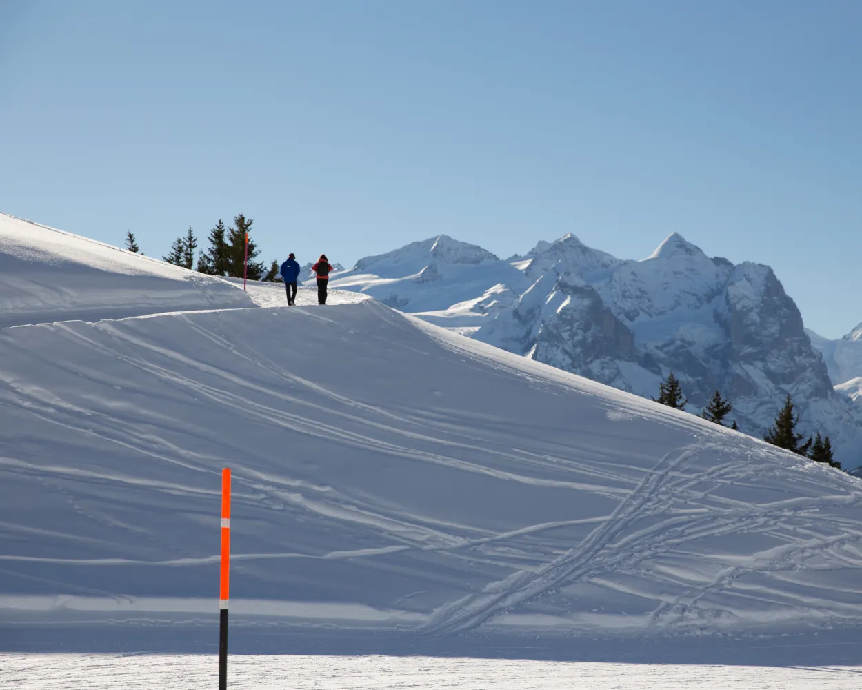
The path goes from Käserstatt to Mägisalp via alpine meadows and enchanting forest passages. Here, winter hikers can always catch a glimpse of the Wetterhorn mountains opposite.
3 km70 m190 m55mTour published by:
SwitzerlandMobility
Learn more on
schweizmobil.ch
and on
myswitzerland.com
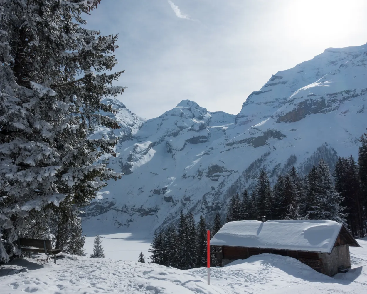
A fairytale like winter wonderland, combined with a thick layer of ice and steep rock faces. Winterhiking at the Oeschinensee impresses with all elements that winter offers.
4 km140 m140 m1h 20mLandscape: Along the water, With panoramic viewsTour published by:
SwitzerlandMobility
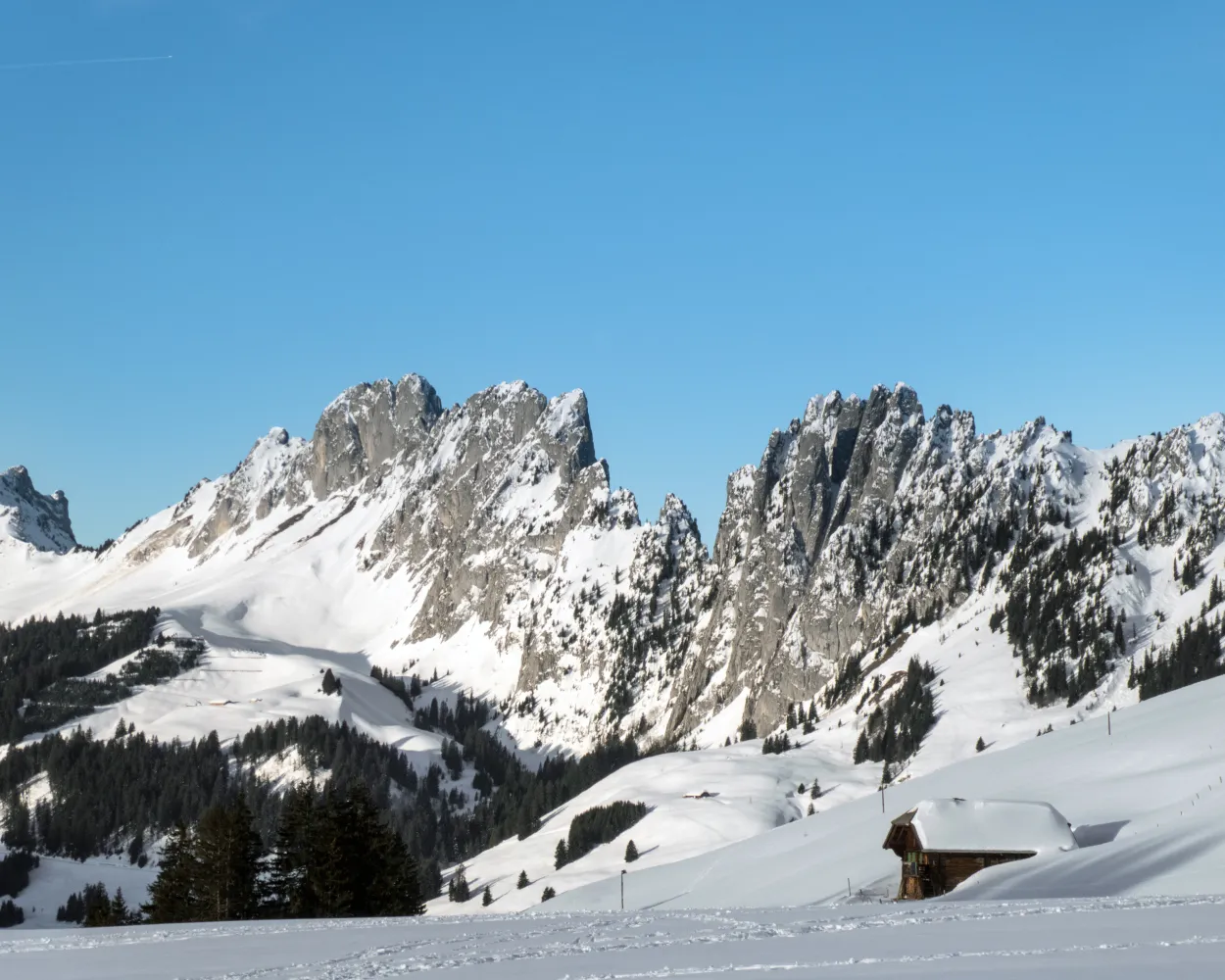
You are in for a wild experience: With the Wildstrubel massif and the wild spikes of Gastlosen in view, the winter hiking trail leads to Bäderegg through snowy meadows over the vast pass landscape.
6 km170 m170 m1h 55mTour published by:
SwitzerlandMobility
Learn more on
schweizmobil.ch
and on
myswitzerland.com
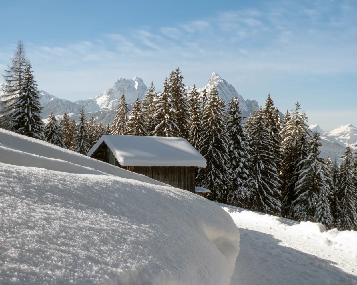
After leaving Saanenmöser, winter walkers reach Schönried via a hiking trail with forests on either side. The view on the Horneggli and Schönried is the highlight of this popular route.
5 km110 m140 m1h 30mTour published by:
SwitzerlandMobility
Learn more on
schweizmobil.ch
and on
myswitzerland.com
Learn more on
schweizmobil.ch
and on
myswitzerland.com
Learn more on
schweizmobil.ch
and on
myswitzerland.com
Learn more on
schweizmobil.ch
and on
myswitzerland.com
Learn more on
schweizmobil.ch
and on
myswitzerland.com


