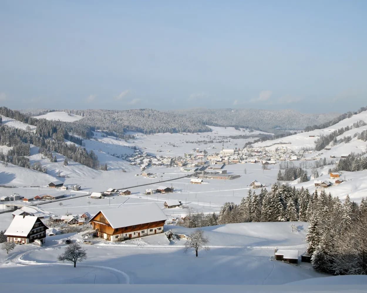
Discover a winter wonderland on these snowshoe hikes, all easily reachable from Rapperswil-Jona by public transport. Snow-covered forests, wide alpine plateaus, and scenic routes offer memorable experiences in the heart of the Alps.
To make planning easier, the hikes below are sorted by travel time from Rapperswil-Jona. Explore the map to find all snowshoe hikes and thousands of other outdoor activities accessible from anywhere in Switzerland.
Much more on ovunta.com/en/map
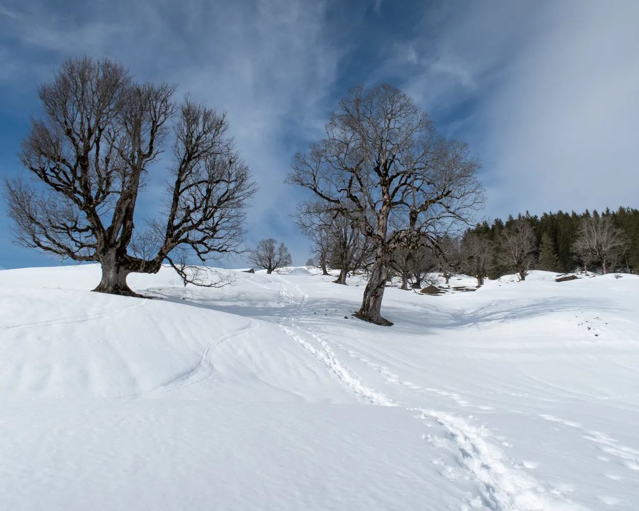
Trudge over the wonderful Gössigenhöchi, the view wanders into the Thur valley and from Lake Constance to Lake Zurich: The tour from the elevated health resort Hemberg to Ennetbühl is right up the street of those who like untouched landscapes. Your constant companion is the Säntis, the highest mountain in the Alpstein region.
 9 km
9 km 660 m
660 m 740 m
740 m 5h 15m
Tour published by:
SwitzerlandMobility
Learn more on
schweizmobil.ch
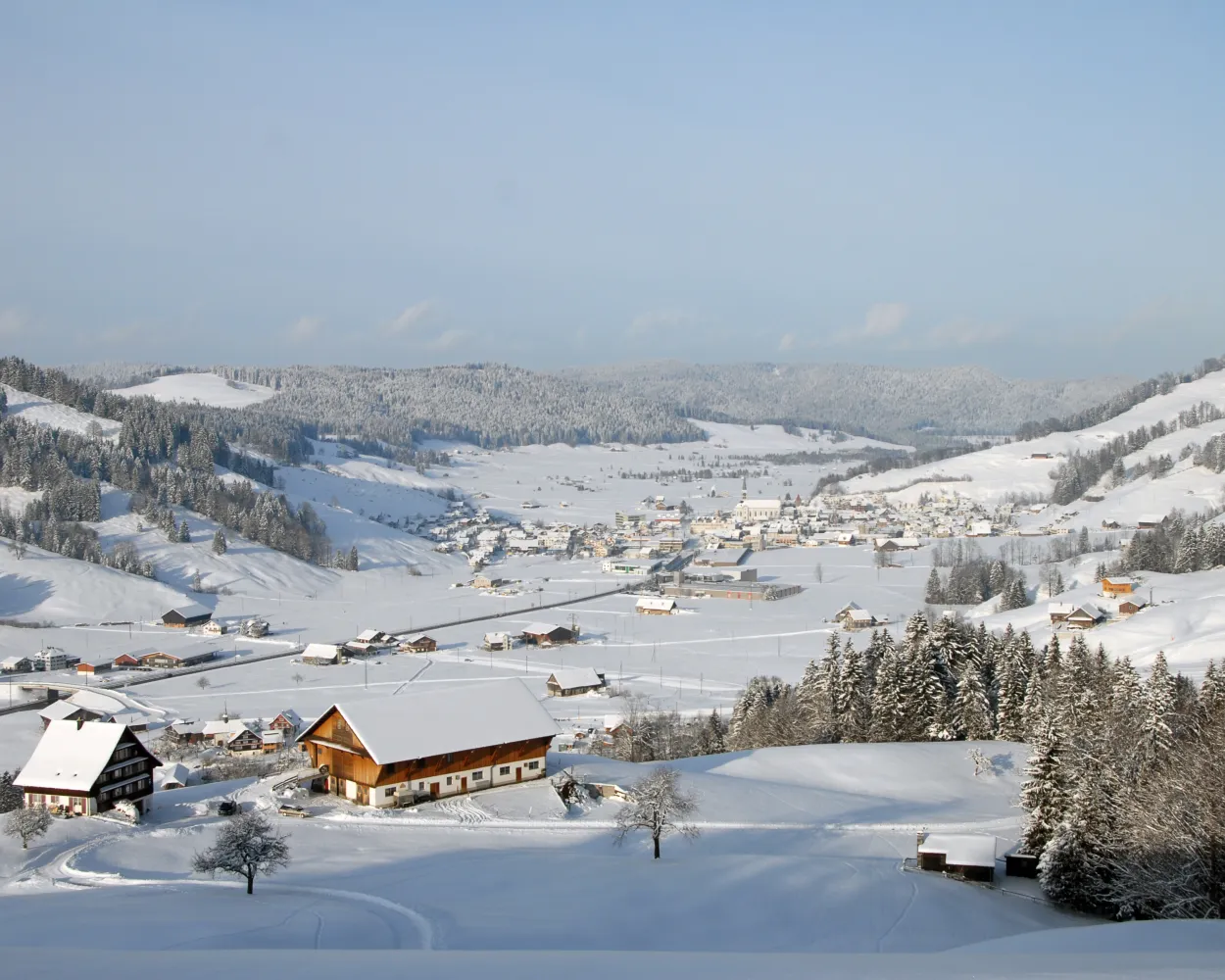
Bridges and views are the stars of this snowshoe trail. Along the way, hikers can take off their snowshoes and enjoy a special experience: the foot suspension bridge in Sattel-Hochstuckli.
10 km640 m640 m5h 20m
Landscape: Over a suspension bridge,With panoramic views
Tour published by:
SwitzerlandMobility
Learn more on
schweizmobil.ch
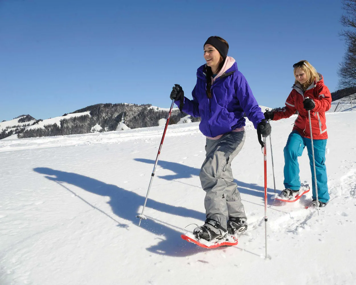
Up to the Atzmännig and enjoy the views across the beautifully snowy foothills of the Alps – that’s what the Altschwand snowshoe hike offers.
4 km100 m460 m1h 50mTour published by:
SwitzerlandMobility
Learn more on
schweizmobil.ch
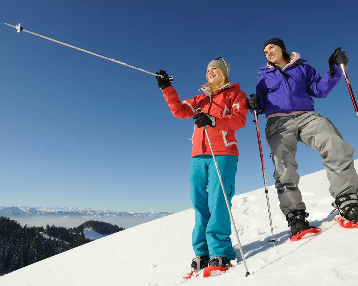
At the top of Atzmännig, an exciting ridge trail between the Toggenburg and the Zurich Oberland with views over the rolling Alpine foothills awaits snowshoers.
7 km320 m680 m3h 30mTour published by:
SwitzerlandMobility
Learn more on
schweizmobil.ch
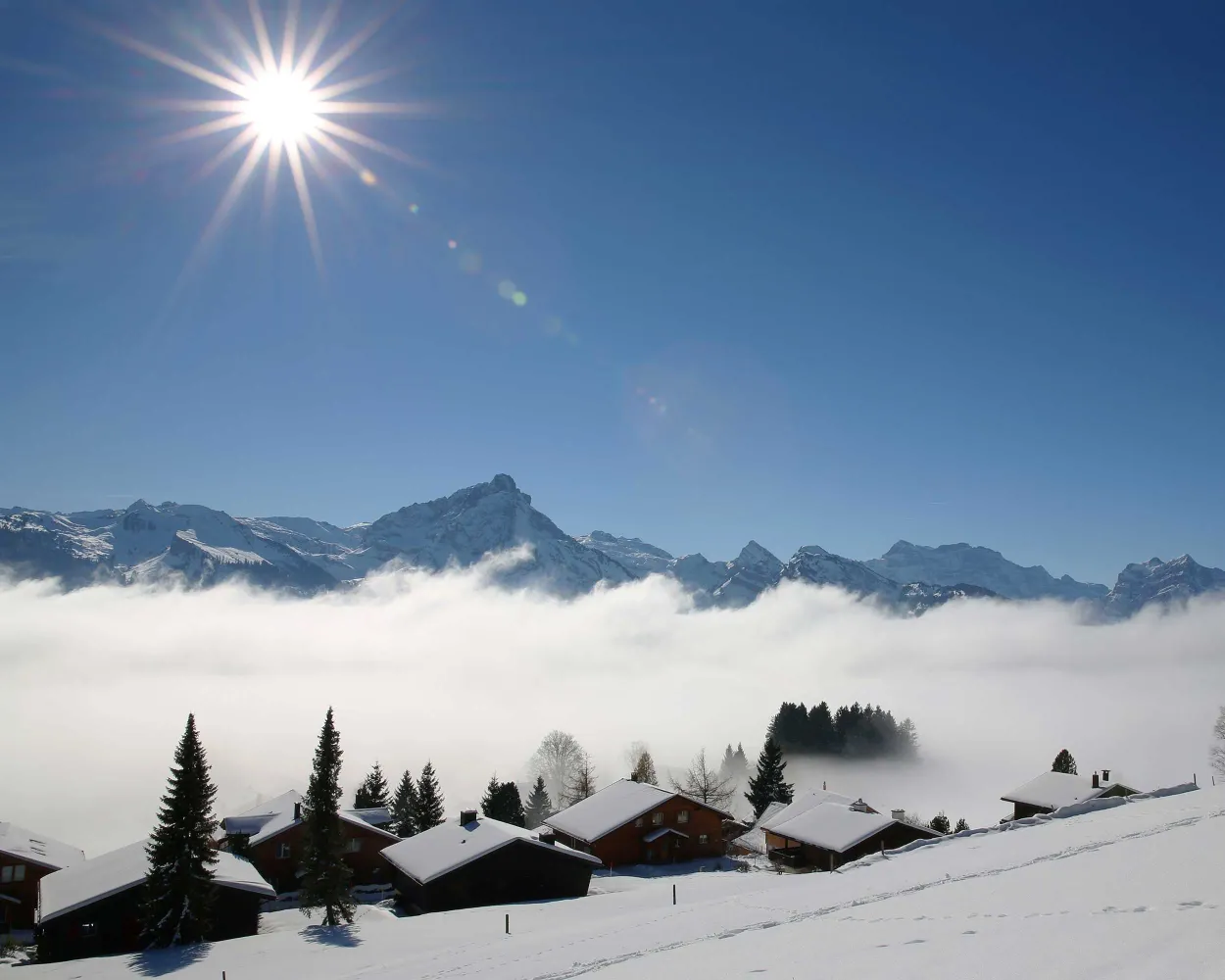
Plenty of sunshine, magnificent countryside, and panoramic views of the Leistchamm, the jagged Churfirsten, and the Toggenburg are among the highlights the trail from Arvenbüel to Vorder Höhi has to offer. After snowshoeing through sparse forest and over snowy Alpine meadows, the cosy, little mountain inn invites you to relax and refuel.
9 km520 m520 m4h 25mLandscape: With panoramic views,Onto an alp
Tour published by:
SwitzerlandMobility
Learn more on
schweizmobil.ch
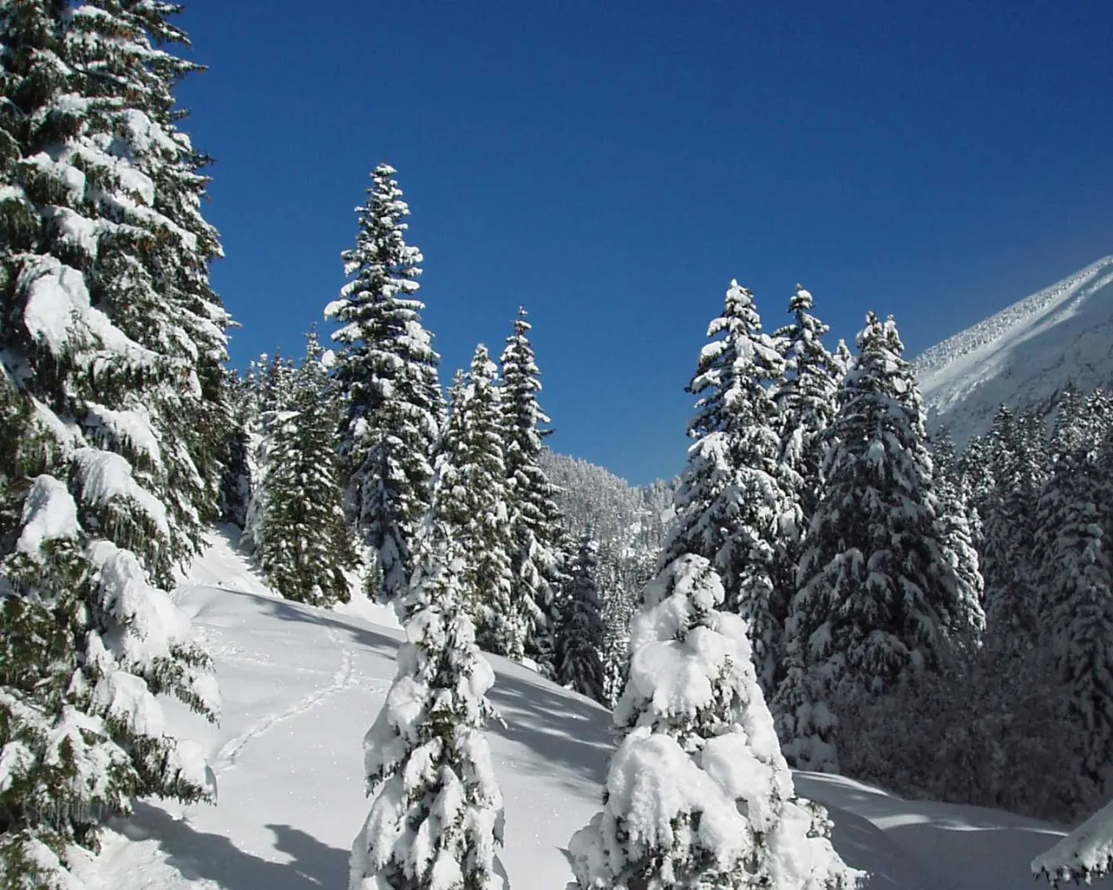
The Egg-Rör Trail leads through snowy forests, wintery Beerenbach, and through a natural landscape that is home to a variety of wild animals. The Glarner Alps provide the imposing backdrop.
5 km280 m280 m2h 20mTour published by:
SwitzerlandMobility
Learn more on
schweizmobil.ch
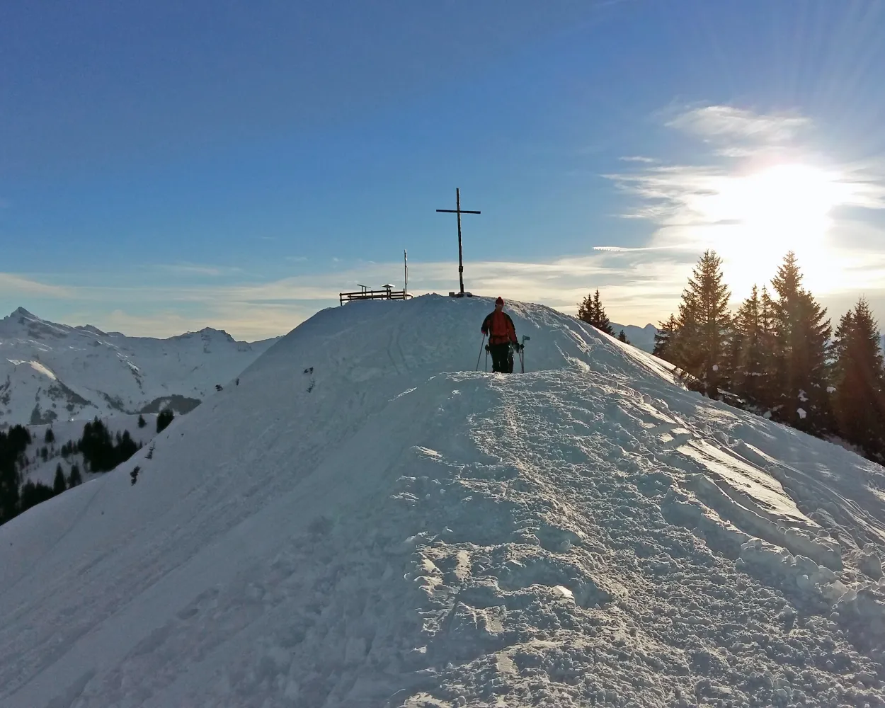
This snowshoe hike crosses remote yet busy areas, overseen in silence by the two Mythen peaks. It's well worth stopping along the way to admire the magnificent views of the Schwyz mountains and landscape.
7 km700 m400 m4h 25mLandscape: With panoramic views,Onto a mountain peak,Onto an alp
Tour published by:
SwitzerlandMobility
Learn more on
schweizmobil.ch
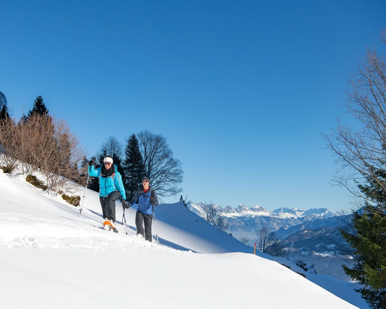
This snowshoe tour is made to enjoy the peace and quiet of the Niederurnertäli valley in winter. The snow-covered Alpine meadows, gnarled maple trees and stunning views of the Glarus region in this glacier valley are very appealing.
6 km380 m380 m3h 15mTour published by:
SwitzerlandMobility
Learn more on
schweizmobil.ch
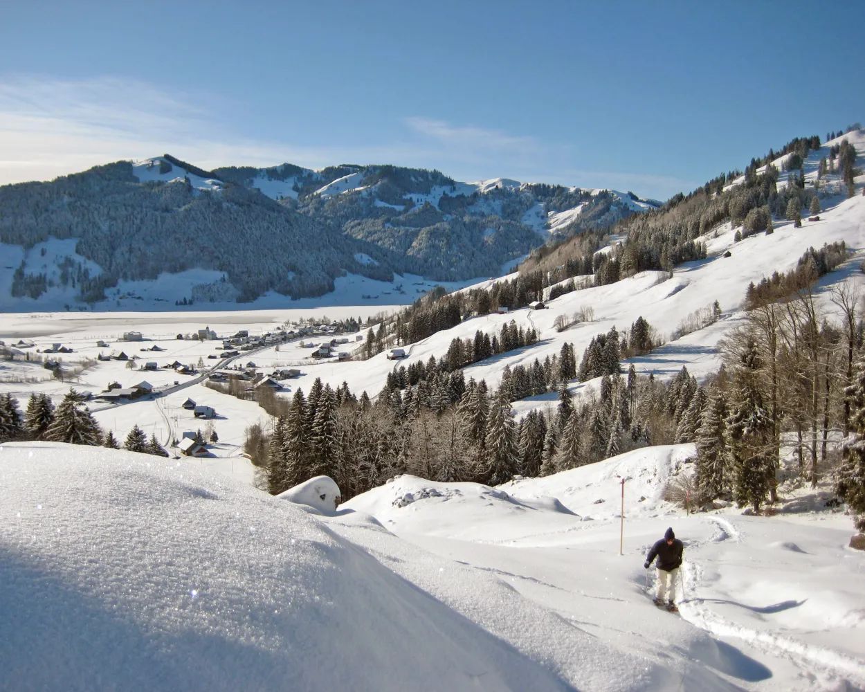
You don't need to be in peak condition to enjoy this snowshoe hike through remote areas, but watch out: the view of the Chli Aubrig could whet your appetite for more challenging tours.
6 km220 m220 m2h 35mTour published by:
SwitzerlandMobility
Learn more on
schweizmobil.ch
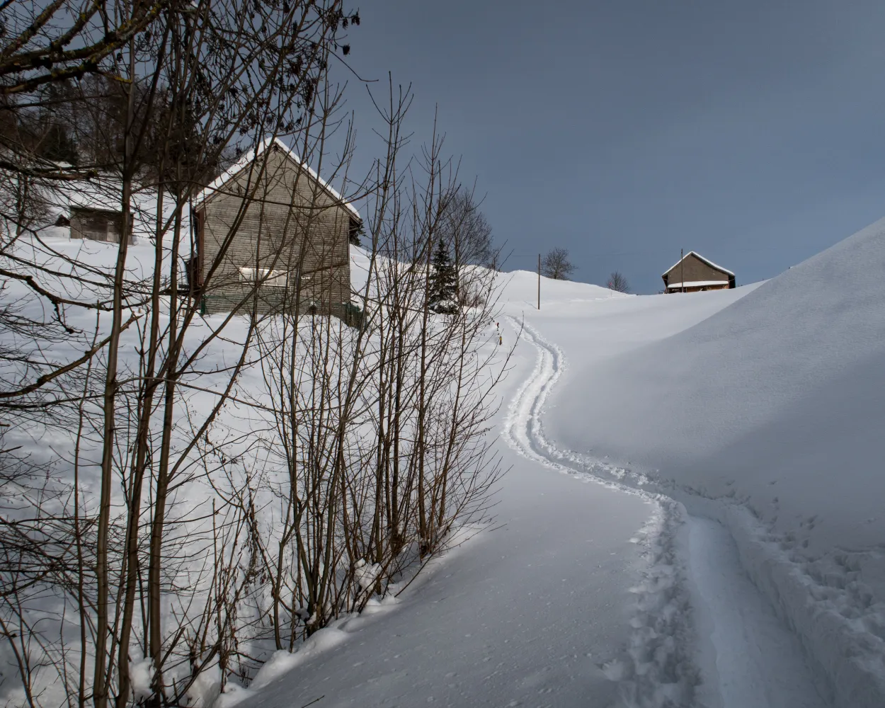
Quietly exploring Appenzell’s rolling countryside: from Schwellbrunn, highest-located village in Ausserrhoden, the trail leads across a ridge with views of the hills, to the Alpstein mountain range with the Säntis Mountain and Lake Constance. Afterwards you delve into the forest and hike downhill.
8 km440 m440 m4h 0mLandscape: Over a pass,With panoramic views,Onto an alp
Tour published by:
SwitzerlandMobility
Learn more on
schweizmobil.ch



