Logo
Blog
To the map
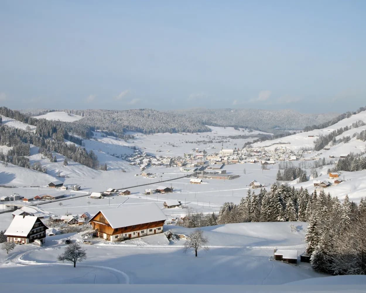
Blog header image

Snowshoeing from Brugg by public transport

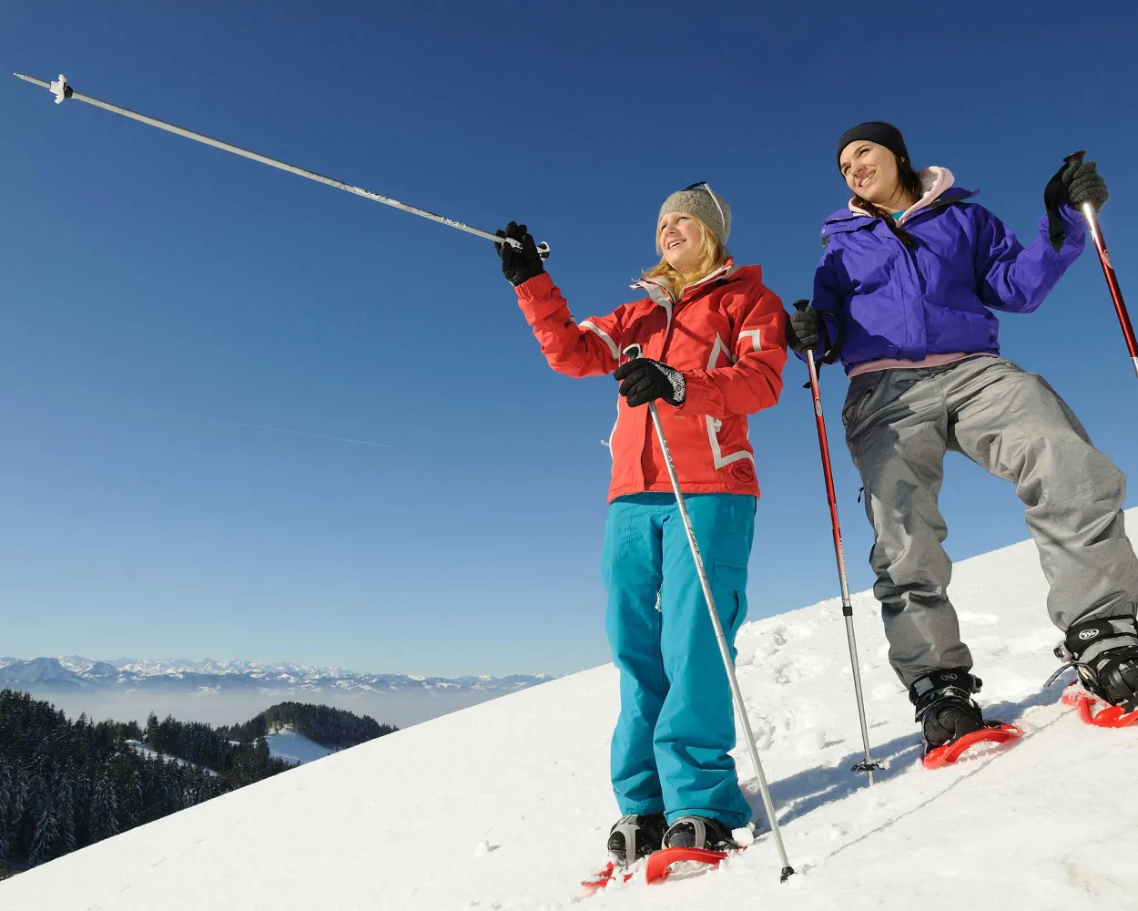
Discover a winter wonderland on these snowshoe hikes, all easily reachable from Brugg by public transport. Snow-covered forests, wide alpine plateaus, and scenic routes offer memorable experiences in the heart of the Alps.

To make planning easier, the hikes below are sorted by travel time from Brugg. Explore the map to find all snowshoe hikes and thousands of other outdoor activities accessible from anywhere in Switzerland.

Much more on ovunta.com/en/map
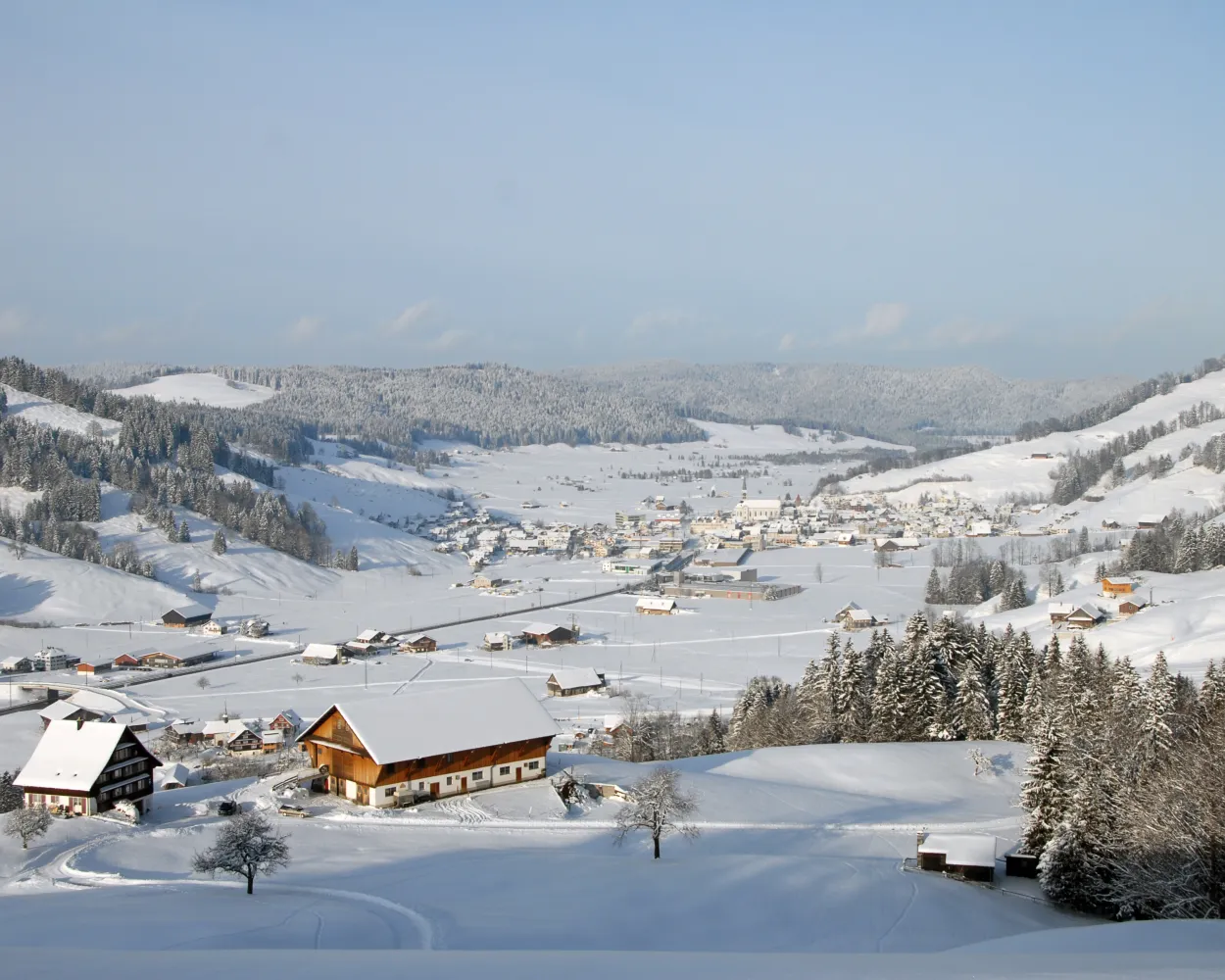
Discover other activities close to Brugg

  • Sledging runs from Brugg by public transport
  • Winter Hikes from Brugg by public transport
  • Cross-country skiing resorts from Brugg by public transport
  • From Brugg to the Mountains: Ski Resorts You Can Access Easily by Public Transport

Start from elsewhere?

  • Snowshoeing from Baden by public transport
  • Snowshoeing from Zurich by public transport
  • Snowshoeing from Olten by public transport
1/10

Biberegg-Herrenboden-Schneeschuhtrail

Minimum travel time: 1h 38m to Biberegg

Bridges and views are the stars of this snowshoe trail. Along the way, hikers can take off their snowshoes and enjoy a special experience: the foot suspension bridge in Sattel-Hochstuckli.

dist10 km
|
asce640 m
|
desc640 m
|
dura5h 20m
  • land

    Landscape: With panoramic views,Over a suspension bridge

Tour published by:

SwitzerlandMobility

Learn more on
schweizmobil.ch

How to get to Biberegg-Herrenboden-Schneeschuhtrail

Fastest connection from Brugg AG to Biberegg: 1h 38m
IR16 (24m)
IC2 (40m)
S31 (14m)
Search Connections & Buy Tickets on SBB
2/10

Wasserfallen Trail

Minimum travel time: 1h 45m to Wasserfallen

Snow-covered landscapes, tranquillity and an impressive natural experience: explore the gently rolling hills between Wasserfallen and the Passwang region in splendid style with a pair of snowshoes.

dist3 km
|
asce280 m
|
desc280 m
|
dura2h 10m

    Tour published by:

    SwitzerlandMobility

    Learn more on
    schweizmobil.ch


    How to get to Wasserfallen Trail

    Fastest connection from Brugg AG to Wasserfallen: 1h 45m
    RE12 (24m)
    IC6 (16m)
    Walk from to
    70 (25m)
    Walk from to
    2029 (8m)
    Search Connections & Buy Tickets on SBB
    3/10

    Altschwand Trail

    Minimum travel time: 1h 46m to Atzmännig Schutt (Talstation)

    Up to the Atzmännig and enjoy the views across the beautifully snowy foothills of the Alps – that’s what the Altschwand snowshoe hike offers.

    dist4 km
    |
    asce100 m
    |
    desc460 m
    |
    dura1h 50m

      Tour published by:

      SwitzerlandMobility

      Learn more on
      schweizmobil.ch


      How to get to Altschwand Trail

      4/10

      Chrüzegg Trail

      Minimum travel time: 1h 46m to Atzmännig Schutt (Talstation)

      At the top of Atzmännig, an exciting ridge trail between the Toggenburg and the Zurich Oberland with views over the rolling Alpine foothills awaits snowshoers.

      dist7 km
      |
      asce320 m
      |
      desc680 m
      |
      dura3h 30m

        Tour published by:

        SwitzerlandMobility

        Learn more on
        schweizmobil.ch


        How to get to Chrüzegg Trail

        Fastest connection from Brugg AG to Atzmännig Schutt (Talstation): 1h 46m
        IR36 (21m)
        S5 (37m)
        Walk from to
        885 (28m)
        Walk from to
        Search Connections & Buy Tickets on SBB
        5/10

        Furggelen-Schneeschuhtrail

        Minimum travel time: 1h 47m to Brunni SZ, Rest. Brunni

        This snowshoe hike crosses remote yet busy areas, overseen in silence by the two Mythen peaks. It's well worth stopping along the way to admire the magnificent views of the Schwyz mountains and landscape.

        dist7 km
        |
        asce700 m
        |
        desc400 m
        |
        dura4h 25m
        • land

          Landscape: Onto a mountain peak,Onto an alp,With panoramic views

        Tour published by:

        SwitzerlandMobility

        Learn more on
        schweizmobil.ch


        How to get to Furggelen-Schneeschuhtrail

        Fastest connection from Brugg AG to Brunni SZ, Rest. Brunni: 1h 47m
        IR16 (24m)
        IR35 (19m)
        S13 (24m)
        Walk from to
        554 (14m)
        Search Connections & Buy Tickets on SBB
        6/10

        Schneeschuhtrail Maria-Rickenbach

        Minimum travel time: 1h 48m to Niederrickenbach Dorf

        This moderately challenging snowshoe trail surrounded by pristine nature offers stunning views into the Engelberg Valley, away from the hustle and bustle. It leads from the Maria-Rickenbach pilgrimage site with its famous monastery mainly through the forest and across meadows.

        dist5 km
        |
        asce240 m
        |
        desc240 m
        |
        dura2h 20m
        • land

          Landscape: With panoramic views,Onto an alp

        Tour published by:

        SwitzerlandMobility

        Learn more on
        schweizmobil.ch


        How to get to Schneeschuhtrail Maria-Rickenbach

        Fastest connection from Brugg AG to Niederrickenbach Dorf: 1h 48m
        RE12 (24m)
        IC21 (35m)
        IRLEX (20m)
        Walk from to
        PB (8m)
        Search Connections & Buy Tickets on SBB
        7/10

        Chlosterweid-Schneeschuhtrail

        Minimum travel time: 1h 49m to Euthal, Schulhaus

        You don't need to be in peak condition to enjoy this snowshoe hike through remote areas, but watch out: the view of the Chli Aubrig could whet your appetite for more challenging tours.

        dist6 km
        |
        asce220 m
        |
        desc220 m
        |
        dura2h 35m

          Tour published by:

          SwitzerlandMobility

          Learn more on
          schweizmobil.ch


          How to get to Chlosterweid-Schneeschuhtrail

          Fastest connection from Brugg AG to Euthal, Schulhaus: 1h 49m
          IR16 (24m)
          IR35 (19m)
          S13 (24m)
          Walk from to
          553 (16m)
          Search Connections & Buy Tickets on SBB
          8/10

          Parcours Mont-Crosin–Mont-Soleil

          Minimum travel time: 1h 51m to Mont-Crosin, col

          This enjoyable snowshoe hike along the Mont-Croisin and Mont-Soleil crests will take you between the wind turbines and the solar-power plant, always in sight of the impressive Chasseral massif which dominates the Saint-Imier valley.

          dist8 km
          |
          asce200 m
          |
          desc240 m
          |
          dura3h 10m

            Tour published by:

            SwitzerlandMobility

            Learn more on
            schweizmobil.ch


            How to get to Parcours Mont-Crosin–Mont-Soleil

            Fastest connection from Brugg AG to Mont-Crosin, col: 1h 51m
            IR16 (23m)
            IR55 (39m)
            RE4 (25m)
            Walk from to
            131 (8m)
            Search Connections & Buy Tickets on SBB
            9/10

            Schneeschuhtrail Ober Altösch

            Minimum travel time: 1h 51m to Trub, Ried

            This varied snowshoe tour starts in Trub in the Emmental valley. It leads through snow-covered forests and pastures in the hilly terrain of the Napf region. The winter scenery and the far-reaching views over the Emmental hilltops make for an unforgettable experience.

            dist8 km
            |
            asce420 m
            |
            desc420 m
            |
            dura4h 0m
            • land

              Landscape: Onto a mountain peak,With panoramic views

            Tour published by:

            SwitzerlandMobility

            Learn more on
            schweizmobil.ch


            How to get to Schneeschuhtrail Ober Altösch

            Fastest connection from Brugg AG to Trub, Ried: 1h 51m
            IR16 (52m)
            RE7 (36m)
            Walk from to
            284 (7m)
            Search Connections & Buy Tickets on SBB
            10/10

            Parcours de Bellelay

            Minimum travel time: 1h 53m to Le Fuet, Chemin de la Bottière

            Starting from Bellelay in the region of the famous Tête de Moine AOC cheese, this snow-shoe excursion will take you to Sur Montbautier in the uplands of the Montagne du Droit before passing through the forest of the same name on the way back to your starting point.

            dist9 km
            |
            asce320 m
            |
            desc320 m
            |
            dura3h 50m
            • land

              Landscape: Through a Swiss Park,Onto a mountain peak,With panoramic views

            Tour published by:

            SwitzerlandMobility

            Learn more on
            schweizmobil.ch


            How to get to Parcours de Bellelay

            Fastest connection from Brugg AG to Le Fuet, Chemin de la Bottière: 1h 53m
            S29 (18m)
            IC5 (44m)
            R41 (17m)
            R42 (10m)
            Walk from to
            35 (9m)
            Search Connections & Buy Tickets on SBB