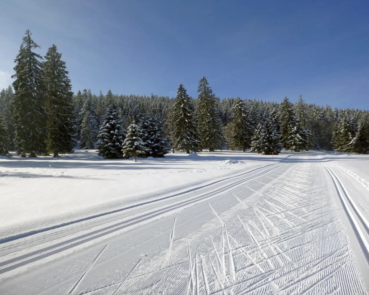
Whether skating or classic: these ten cross-country skiing destinations are all reachable from Neuchâtel by public transport. From romantic forest tracks to scenic high-altitude loops, there’s something for every level of Nordic skier.
The destinations below are sorted by travel time from Neuchâtel to make your planning easier. Make sure to visit the map to explore all cross-country skiing areas and thousands of other outdoor activities reachable from any starting point in Switzerland.
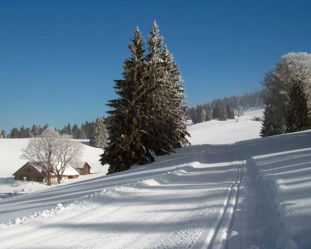
As a reward for the effort you have already made, the Mont Racine Trail offers a magnificent panoramic view over the Alps – but only after the seventh kilometre. In good conditions, you will have the impression you are skiing in paradise.
 32.3 km
Tour published by:
SwitzerlandMobility
Learn more on
snow.myswitzerland.com
and on
schweizmobil.ch
Cross-country skiers in the valley frequently say that, if there is a stiff breeze, you simply need to open your arms to be propelled along to Ponts-de-Martel. Although this image raises a smile, it’s true; the route is far more enjoyable when crossed from East to West.
59.1 kmTour published by:
SwitzerlandMobility
Learn more on
snow.myswitzerland.com
and on
schweizmobil.ch
Set in the Jura highlands near the watchmaking town of La Chaux-de-Fonds, this area offers rolling terrain through open pastures and wooded sections. The high plateau provides reliable snow conditions and sweeping views across the Franco-Swiss border region.
18.2 kmLearn more on
snow.myswitzerland.com
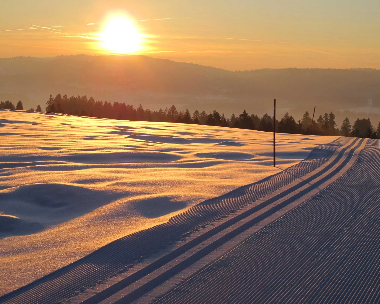
“Cross-country skiing at the gateway to the town”. Used to practising a physical activity during their mid-day break, many staff employed by the local watchmaking firms down tools and put on their skis.
17.3 kmTour published by:
SwitzerlandMobility
Learn more on
snow.myswitzerland.com
and on
schweizmobil.ch
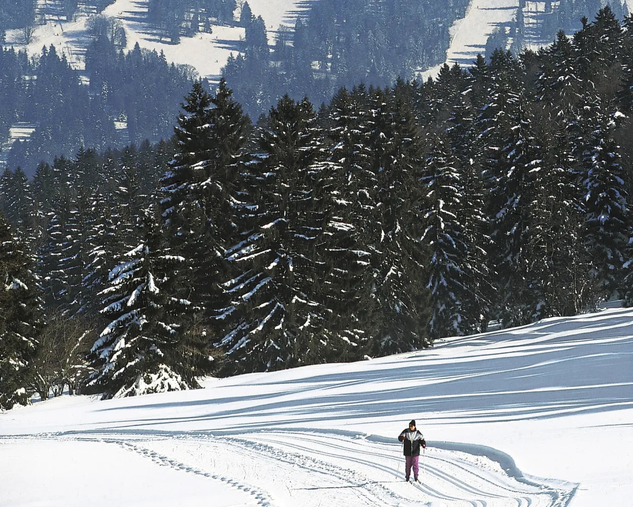
This magnificent route between the Cantons of Berne and Neuchâtel boasts a unique panorama over the plateau and the Alps. On a clear day you can even see the peak of Mont Blanc in the far distance.
23.3 kmTour published by:
SwitzerlandMobility
Learn more on
snow.myswitzerland.com
and on
schweizmobil.ch
Set in the Jura mountains near the UNESCO-listed watchmaking city, this compact area provides a gateway to Nordic skiing amid pastoral highland scenery. The rolling terrain and open meadows characterise this modest network suitable for shorter outings.
4.6 kmLearn more on
snow.myswitzerland.com
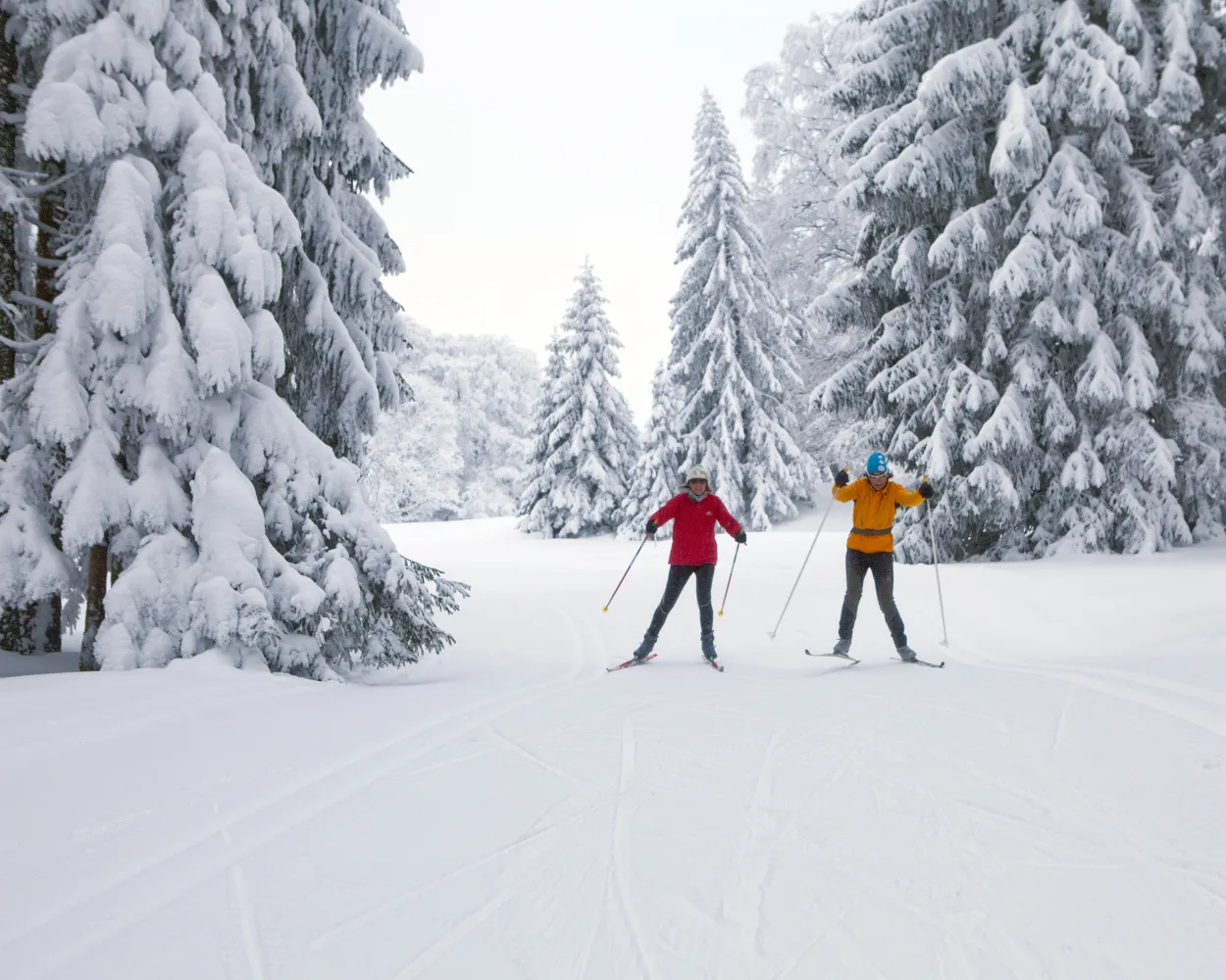
Among the most extensive cross-country areas in the Swiss Jura, Les Breuleux serves as a hub connecting vast networks across the Franches-Montagnes plateau. Wide horizons, scattered spruce forests, and the region's famous free-roaming horses accompany skiers through this expansive terrain.
49 kmLearn more on
snow.myswitzerland.com
and on
schweizmobil.ch
The people of this region have cross-country skiing in their blood. They are used to extreme cold and in times gone by, children would ski to school. No wonder this valley is still a breeding ground for champions.
85.8 kmTour published by:
SwitzerlandMobility
Learn more on
snow.myswitzerland.com
and on
schweizmobil.ch
Home to Switzerland's national sports centre, this resort above Biel/Bienne in the Jura foothills combines athletic heritage with forest trails. The terrain attracts both recreational skiers and those with a more competitive mindset seeking structured training conditions.
12.5 kmLearn more on
j3l.ch
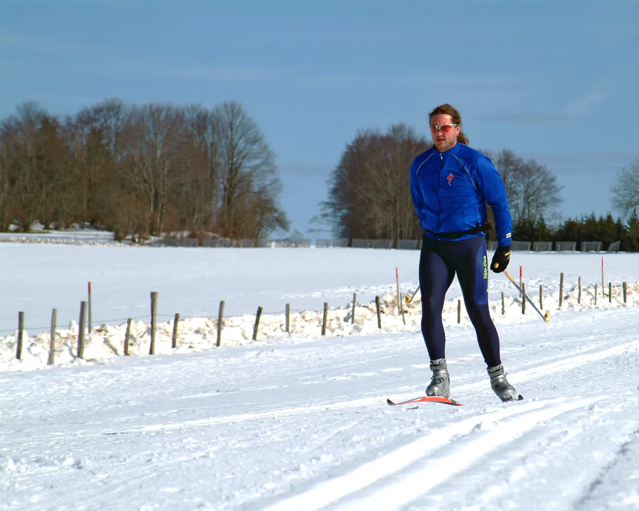
On the Chasseral ridge, high above the lakes, this cross-country skiing track leads through varied scenery that is very typical of the Bernese Jura. It boasts fantastic panoramic views of Lake Neuchâtel, the plateau and the Alps.
48 kmTour published by:
SwitzerlandMobility
Learn more on
snow.myswitzerland.com
and on
schweizmobil.ch
Much more on ovunta.com/en/map



