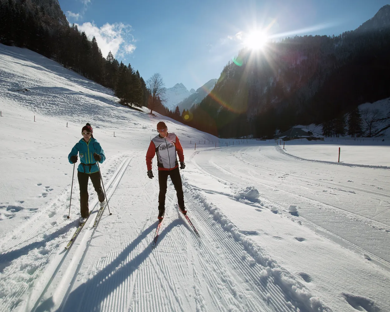
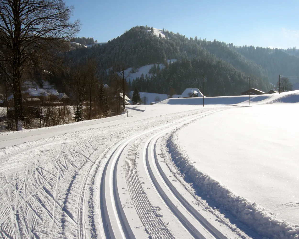
Whether skating or classic: these ten cross-country skiing destinations are all reachable from Fribourg by public transport. From romantic forest tracks to scenic high-altitude loops, there’s something for every level of Nordic skier.
The destinations below are sorted by travel time from Fribourg/Freiburg to make your planning easier. Make sure to visit the map to explore all cross-country skiing areas and thousands of other outdoor activities reachable from any starting point in Switzerland.
Much more on ovunta.com/en/map
Home to Switzerland's national sports centre, this resort above Biel/Bienne in the Jura foothills combines athletic heritage with forest trails. The terrain attracts both recreational skiers and those with a more competitive mindset seeking structured training conditions.
 12.5 km
Learn more on
j3l.ch
| Fribourg/Freiburg (08:33) | |
| IR15 (23m) | |
| Bern (08:56) |
| Bern (09:12) | |
| IR65 (27m) | |
| Biel/Bienne (09:39) |
| Biel/Bienne Magglingenb.(Funi) (09:57) | |
| 22 (6m) | |
| Magglingen/Macolin (10:03) |
| Magglingen, Seilbahn (10:10) | |
| 79 (3m) | |
| Magglingen, End der Welt (10:13) |
Set in the Jura highlands near the watchmaking town of La Chaux-de-Fonds, this area offers rolling terrain through open pastures and wooded sections. The high plateau provides reliable snow conditions and sweeping views across the Franco-Swiss border region.
18.2 kmLearn more on
snow.myswitzerland.com
| Fribourg/Freiburg (08:47) | |
| S20 (55m) | |
| Neuchâtel (09:42) |
| Neuchâtel (10:00) | |
| RE6 (33m) | |
| La Chaux-de-Fonds Les Forges (10:33) |
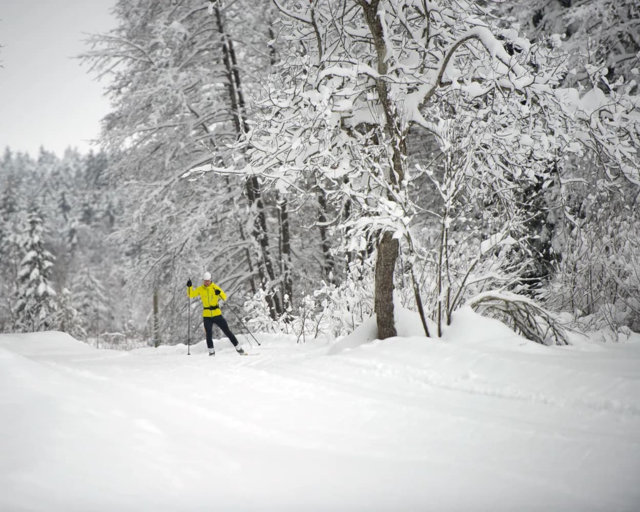
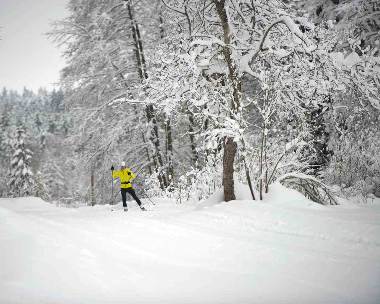
The Nordic sports centre is in Im Fang, alongside the cantonal road between Charmey and Jaun. The place is surrounded by the peaks of the Vanil d’Arpille or the Hochmatt and is well known for its early, long-lasting snow cover.
10.1 kmTour published by:
SwitzerlandMobility
Learn more on
schweizmobil.ch
| Fribourg/Freiburg (08:34) | |
| RE2 (50m) | |
| Broc-Village (09:24) |
| Broc-Village, gare (09:28) | |
| 260 (13m) | |
| Charmey (Gruyère),La Fulateyre (09:41) |
Cross-country skiing routes in a variety of landscapes, from forest to peat bog and pasture. Just like being in Lapland or the pastures of the Jura, with the added bonus of the magnificent views over the Pre-Alps.
22.4 kmTour published by:
SwitzerlandMobility
Learn more on
snow.myswitzerland.com
and on
schweizmobil.ch
| Fribourg/Freiburg (08:34) | |
| RE2 (17m) | |
| Romont FR (08:51) |
| Romont FR, gare (09:24) | |
| 471 (21m) | |
| Sorens, Camping (09:45) |
Cross-country skiing south of Lake Thun in the winter wonderland of the Suldtal valley, a nature reserve at the foot of the Morgenberghorn. Enjoy total tranquillity, broken only by the gurgling waters of the Suldbach stream or the wingbeat of a golden eagle.
18.4 kmTour published by:
SwitzerlandMobility
Learn more on
snow.myswitzerland.com
and on
schweizmobil.ch
| Fribourg/Freiburg (08:33) | |
| IR15 (23m) | |
| Bern (08:56) |
| Bern (09:04) | |
| ICE (30m) | |
| Spiez (09:34) |
| Spiez, Bahnhof (09:38) | |
| 62 (10m) | |
| Aeschi b. Spiez, Mustermattli (09:48) |

Cross-country skiing in the upper Emmental surrounded by unspoiled hills. Lined with wooded slopes, this flat trail winds its way along the valley floor between Langnau and Trubschachen, following the Ilfis river. Impressive Emmental farmhouses are dotted along both sides of the cross-country skiing trail.
4.5 kmTour published by:
SwitzerlandMobility
Learn more on
schweizmobil.ch
| Fribourg/Freiburg (08:33) | |
| IR15 (23m) | |
| Bern (08:56) |
| Bern (09:12) | |
| S2 (40m) | |
| Langnau i.E. (09:52) |
| Langnau i.E., Bahnhof (09:55) | |
| 284 (2m) | |
| Bärau, Schwimmbad (09:57) |
Cross-country skiing in the upper Emmental through the typical, scattered villages. The trail follows the Trueb river, climbing up the valley towards the Napf mountain and then through Trub to Trubschachen. From the trail, you can see Emmental farmhouses and hillsides peppered with woodland and open fields.
8.9 kmTour published by:
SwitzerlandMobility
Learn more on
schweizmobil.ch
| Fribourg/Freiburg (08:33) | |
| IR15 (23m) | |
| Bern (08:56) |
| Bern (09:12) | |
| S2 (40m) | |
| Langnau i.E. (09:52) |
| Langnau i.E., Bahnhof (09:55) | |
| 284 (22m) | |
| Trub, Miescheli (10:17) |

Varied circular route under the crest of the Gisliflue in the Jura mountains of Aargau. Partly through the wood, and partly along the wood's edge, the route provides magnificent views over the Jura mountains close by to the entire Alpine range.
9.6 kmTour published by:
SwitzerlandMobility
Learn more on
schweizmobil.ch
| Fribourg/Freiburg (08:33) | |
| IR15 (55m) | |
| Zofingen (09:28) |
| Zofingen (09:39) | |
| S29 (18m) | |
| Aarau (09:57) |
| Aarau, Bahnhof (10:02) | |
| 135 (15m) | |
| Staffelegg, Passhöhe (10:17) |
Go cross-country skiing in the home patch of an Olympic medal winner: the local trail of skiing legend Sepp Haas is nestled in the UNESCO Biosphere Entlebuch. Skiers enjoy extensive views of the impressive karst terrain at the foot of the Schrattenfluh.
31.9 kmTour published by:
SwitzerlandMobility
Learn more on
schweizmobil.ch
| Fribourg/Freiburg (08:33) | |
| IR15 (23m) | |
| Bern (08:56) |
| Bern (09:36) | |
| RE7 (45m) | |
| Escholzmatt (10:21) |
Get to know Switzerland from its authentic side: far from any main road, the Rickenbach cross-country skiing trail wends its way through the scenic Michelsamt region amid hills, open fields and rustic farms.
7.6 kmTour published by:
SwitzerlandMobility
Learn more on
schweizmobil.ch
| Fribourg/Freiburg (08:33) | |
| IR15 (1h 8m) | |
| Sursee (09:41) |
| Sursee, Bahnhof (10:06) | |
| 399 (16m) | |
| Gunzwil, Hasenhusen (10:22) |


