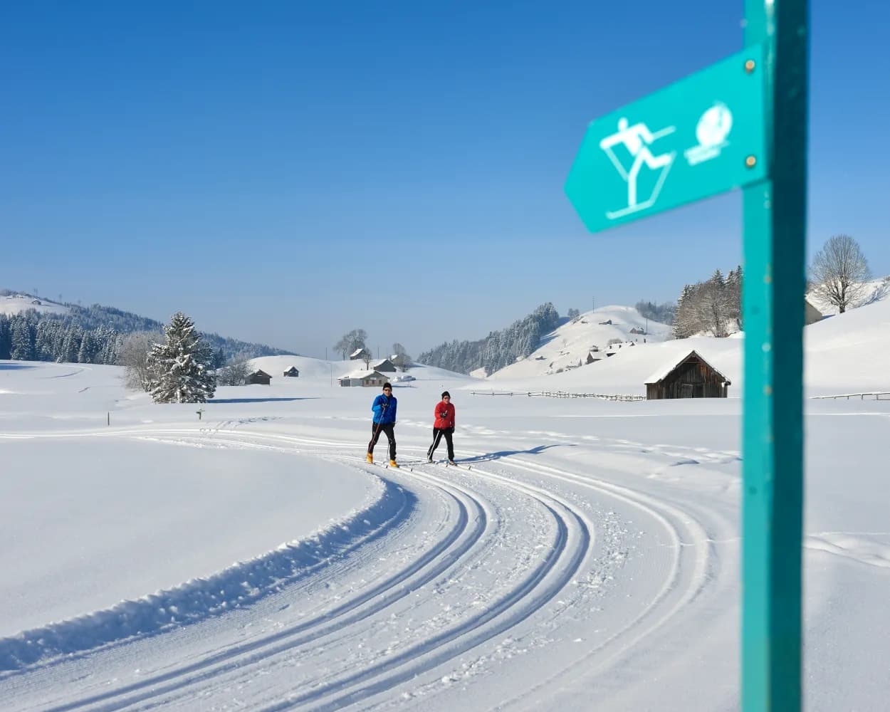
Whether skating or classic: these ten cross-country skiing destinations are all reachable from Appenzell by public transport. From romantic forest tracks to scenic high-altitude loops, there’s something for every level of Nordic skier.
The destinations below are sorted by travel time from Appenzell to make your planning easier. Make sure to visit the map to explore all cross-country skiing areas and thousands of other outdoor activities reachable from any starting point in Switzerland.
Much more on ovunta.com/en/map
Spread across the sunny Appenzell highlands, this area features an expansive trail system winding through pastoral landscapes. The terrain gently undulates between traditional farmsteads, offering sustained skiing with panoramic views toward the Alpstein massif.
 20.3 km
Learn more on
langlauf-gais.ch
| S21 (5m) | |
In the rolling Appenzell hills, this village preserves strong folk traditions including the famous Silvesterchläuse customs. Trails traverse gentle farmland terrain, offering an authentic glimpse of rural northeastern Swiss culture.
6.3 kmLearn more on
snow.myswitzerland.com
A short training circuit suited for quick workouts or beginners seeking a contained environment. The loop provides an accessible introduction to cross-country skiing without the commitment of longer trail systems.
2.1 kmLearn more on
loipe-speicher.ch
| S21 (26m) | |
| 190 (10m) | |
Set amid the gentle rolling hills of Appenzell Ausserrhoden, this area connects two traditional villages through forested terrain and open meadows. The moderately sized trail network traverses the characteristic pre-alpine landscape of eastern Switzerland, offering a tranquil countryside experience away from major tourist centers.
13.1 kmLearn more on
loipe-schoenengrund.ch
| S23 (30m) | |
| 182 (13m) | |
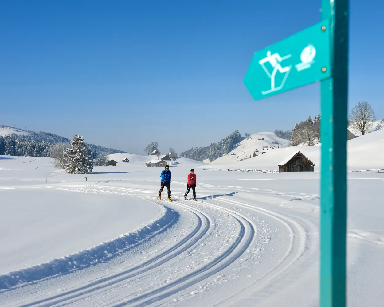
Cross-country ski enthusiasts enjoy the trail through the sunny high valley of Gonten with views of the scattered "Toobeschopfe" (old peat huts) and the gently rolling hills of the Appenzellerland. The varied circular tour at the foot of the Alpstein is mostly flat and ideal for beginners.
28.1 kmTour published by:
SwitzerlandMobility
Learn more on
snow.myswitzerland.com
and on
schweizmobil.ch
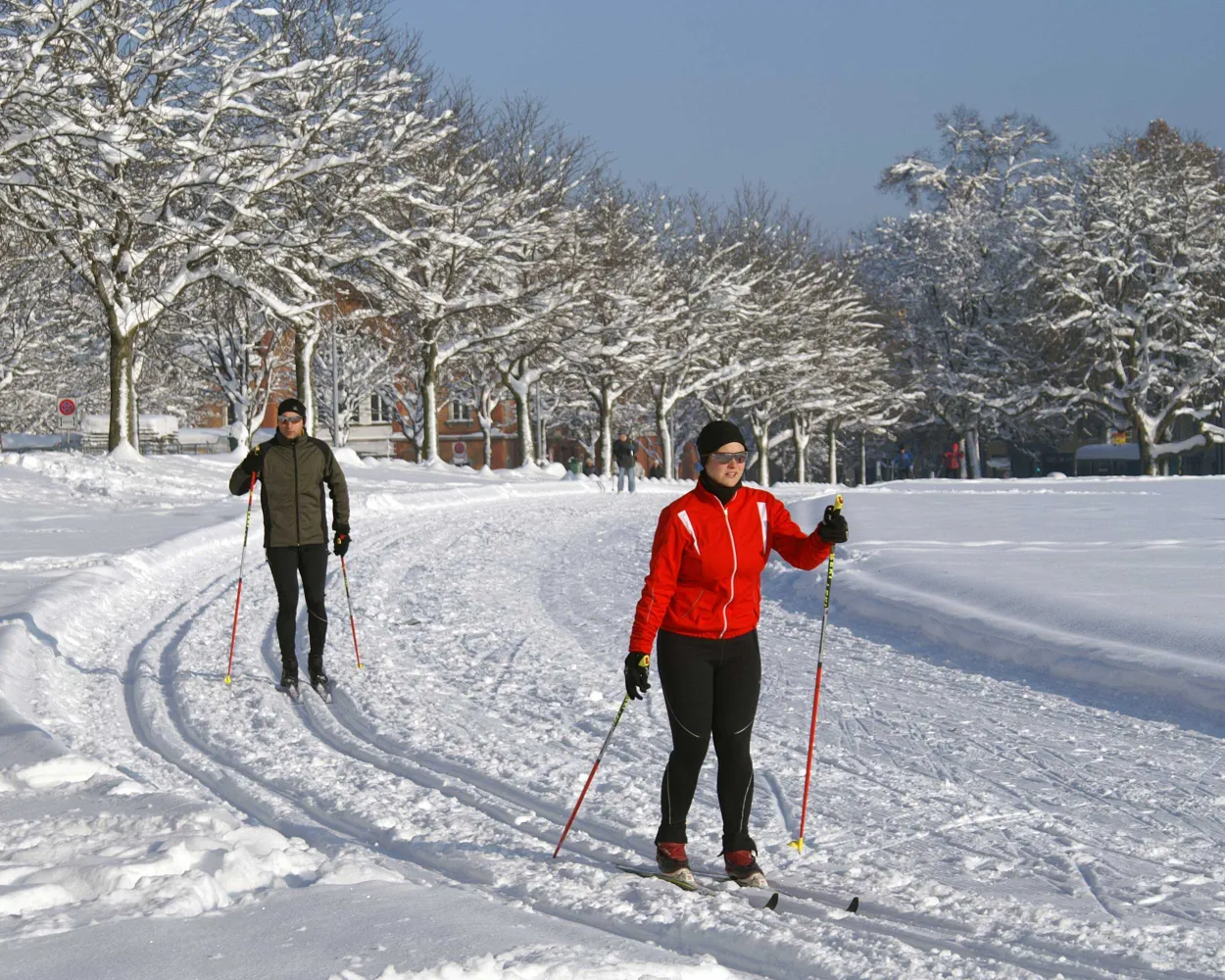
Cross-country skiing directly in the city – the city trail Kreuzbleiche makes this possible! The shape of an eight divides it into two sections, whereof one is slightly more difficult and also includes an incline and a starting section.
1.1 kmTour published by:
SwitzerlandMobility
Learn more on
schweizmobil.ch
| S21 (42m) | |
| 4 (3m) | |
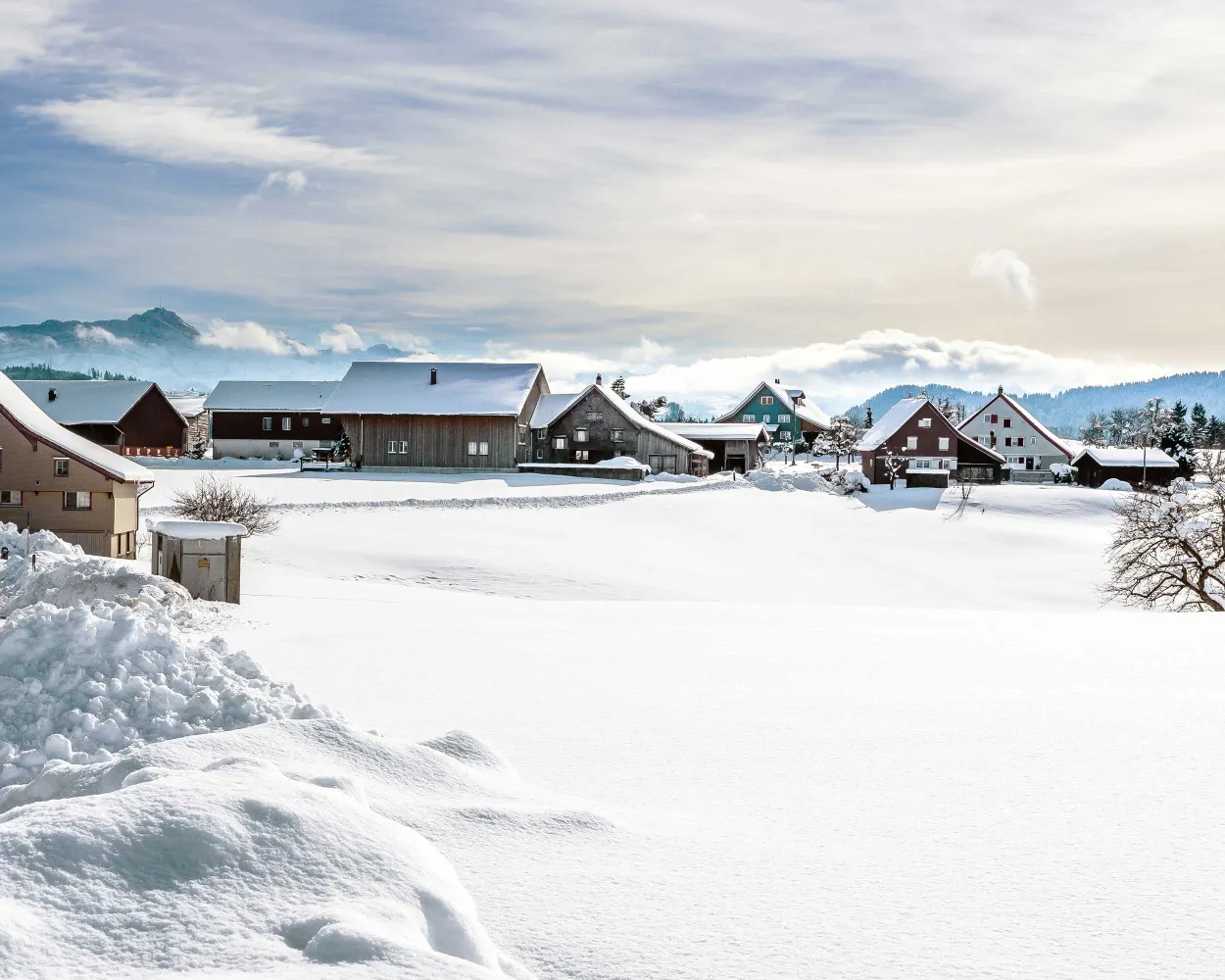
Away from the huge winter destinations Degersheim offers a long and scenically attractive cross-country skiing trail. This also includes a unique view far beyond Lake Constance and the city boundaries.
11.7 kmTour published by:
SwitzerlandMobility
Learn more on
snow.myswitzerland.com
and on
schweizmobil.ch
| S21 (42m) | |
| S2 (16m) | |
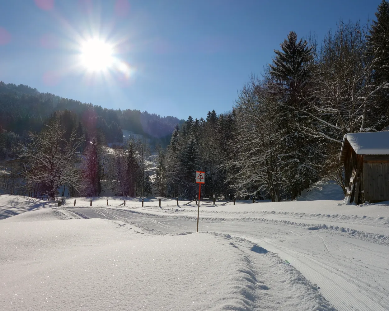
The Säntis cross-country ski trail is one of the most snow-sure cross-country trails in the area. It meanders through a varied, unique landscape at the foot of the Säntis Mountain, following the path of the Luteren stream.
7.1 kmTour published by:
SwitzerlandMobility
Learn more on
schweizmobil.ch
| S23 (14m) | |
| 791 (23m) | |
| 792 (6m) | |
The name is well chosen: On the Panorama Trail above Heiden, cross-country skiers enjoy views over Lake Constance and the Alpstein. Embedded in the curving terrain, the trail offers an exciting up and down through the Appenzell alpine foothills.
3.1 kmTour published by:
SwitzerlandMobility
Learn more on
loipen-heiden-bodensee.ch
and on
schweizmobil.ch
| S21 (9m) | |
| S24 (23m) | |
| 300 (6m) | |
| IR13 (6m) | |
| 226 (19m) | |
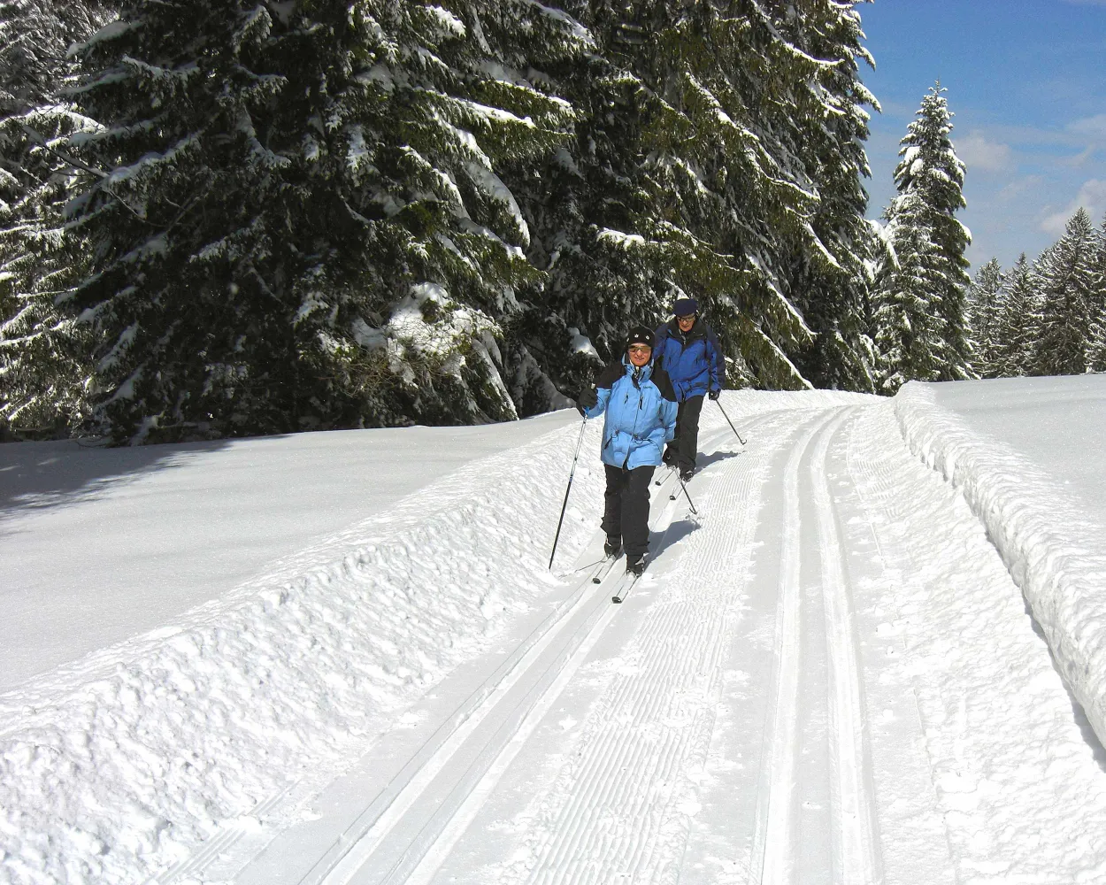
The panoramic trail on Scherb between Hemberg and Ebnat-Kappel leads past various viewpoints. Eight theme charts describe the panorama and make the hillier trails to a special experience.
24.8 kmTour published by:
SwitzerlandMobility
Learn more on
snow.myswitzerland.com
and on
schweizmobil.ch
| S23 (25m) | |
| 174 (1m) | |
| 174 (8m) | |
| VAE (18m) | |
| 780 (13m) | |



