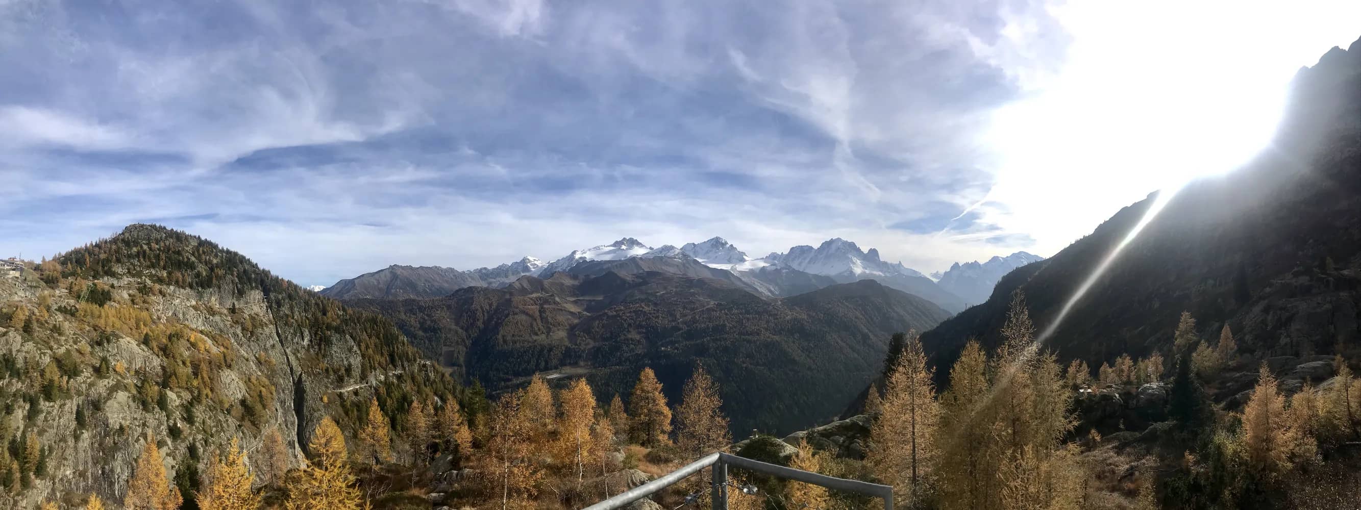
Bisse du Trient
This path starts from the Col de La Forclaz and crosses the larch forest, affording views of the magnificent landscapes of the Aiguilles Dorées and the Ecandies chain of mountains; it ends on the Trient glacier tongue with its icefalls. Following an old route which was used to transport blocks of ice, this water channel irrigates the meadows and vineyards of Martigny-Combe.
 6.6 km
 115 m
115 m 1h 45m