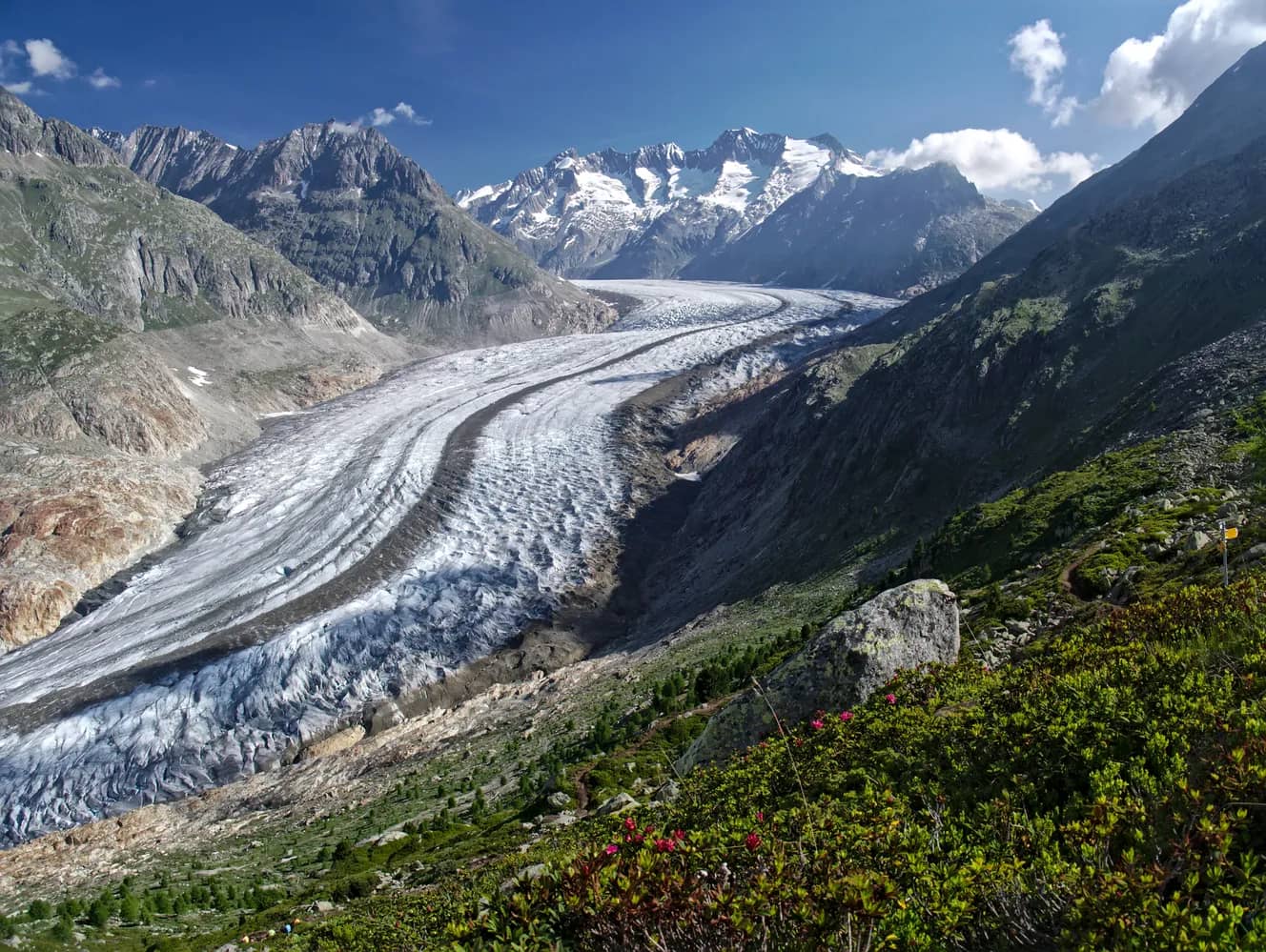
Alpine hike: UNESCO high-altitude trail from Bettmerhorn to Eggishorn
The hike starts at the Bettmeralp cable-car mountain station. It takes about half an hour to reach the summit of the Bettmerhorn (2,647m) via a fixed rope route. From there you follow the partly exposed but well-secured ridge trail for about 1.5km, until you reach the steep descent down to Elselicka. Cable handrails are provided for your safety. The path along the ridge is designated an Alpine Route, meaning that it is suitable only for sure-footed hikers with no fear of heights! Keep to the white/blue marked path on this section! From Elselicka, the route follows a well-maintained hiking trail up to the mountain station of the Eggishorn cable car (2,869m), the end of the UNESCO high-altitude trail.
 3.04 km
 373 m
373 m 149 m
149 m 3h 0m
3h 0m