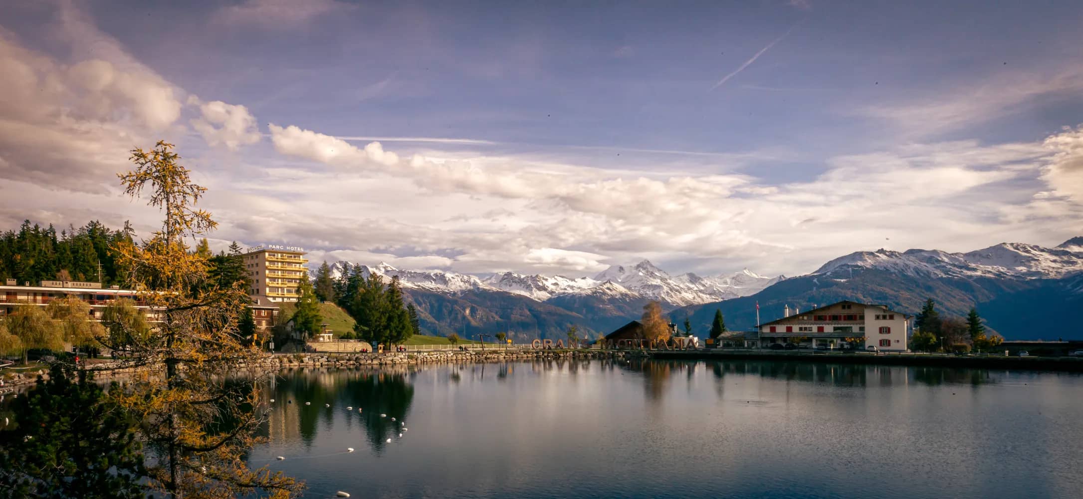
Crans-Montana Panoramic Route
This circular tour starting and finishing at the Ycoor centre in the heart of Montana culminates at the Col de Crans-Montana at an altitude of more than 1,800 metres. To reach the col, you take the Plumachit road that climbs from the base station of the Violettes gondola: an ascent of 5.6 kilometres along a minor road with little traffic. The route is accessible to all, with a total climb of 430 metres. After reaching the Col de Crans-Montana, you begin the descent to Aminona before finally returning to your starting point.
 14.56 km
 427 m
427 m 428 m
428 m 1h 13m