Turtmanntaler Aussischtsweg
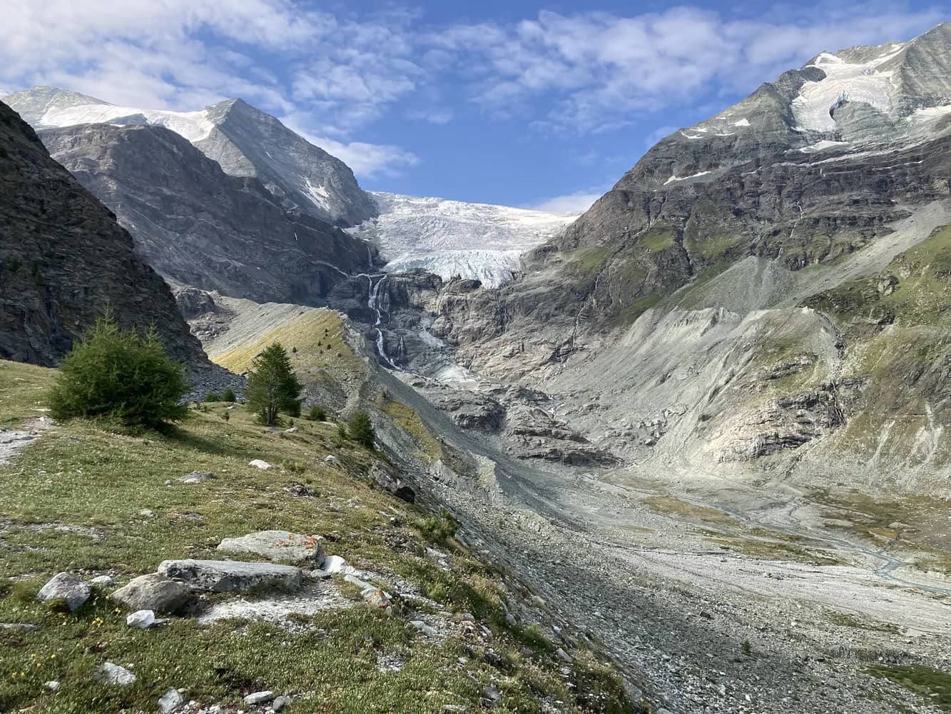
Starting point for the hike is the bus stop in Gruben/Meiden. From here, the path zig-zags steeply up through the forest to the alpine pastures of Grüobu Mittelstafel. Above the treeline, the hike follows a flattish trail southwards up the Turtmann valley. Eventually, at an altitude of about 2,300 metres, the path leads above the Turtmannsee lake – actually formed of two reservoirs, used to generate electricity. These provide water for the Gougra hydroelectric power station, primarily fed by reservoirs in the Val d’Anniviers. From here, you enjoy a superb view of the Brunegg and Turtmann glaciers, the 4,153-metre Bishorn and the dramatic Barrwand cliffs.
The trail now descends relatively steeply through larch and pine forests above the lake and drops down to lead along the crest of the dam between the two reservoirs. The trail continues in the floor of the valley along the creek until you reach the end point at Meiden.
Time your hike to coincide with the annual ascent or descent of the cattle to/from the high pastures and see the traditional cow fights at Gruben/Meiden.
 12.65 km
 720 m
720 m 720 m
720 m 6h 30m