ViaBerna, Stage 14/20
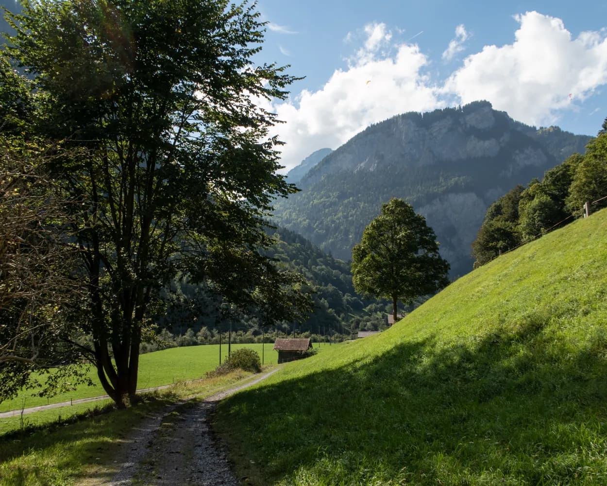
From Isenflue, the old mule track runs down steeply through wild mountain forest to Zweilütschinen. After Gündlischwand, up to the other side of the U-shaped Lauterbrunnen Valley. The path to Alp Schwand is steep and full of hairpin bends. See the view of the Oberland 4000-m-high peaks, then on to Schynige Platte.