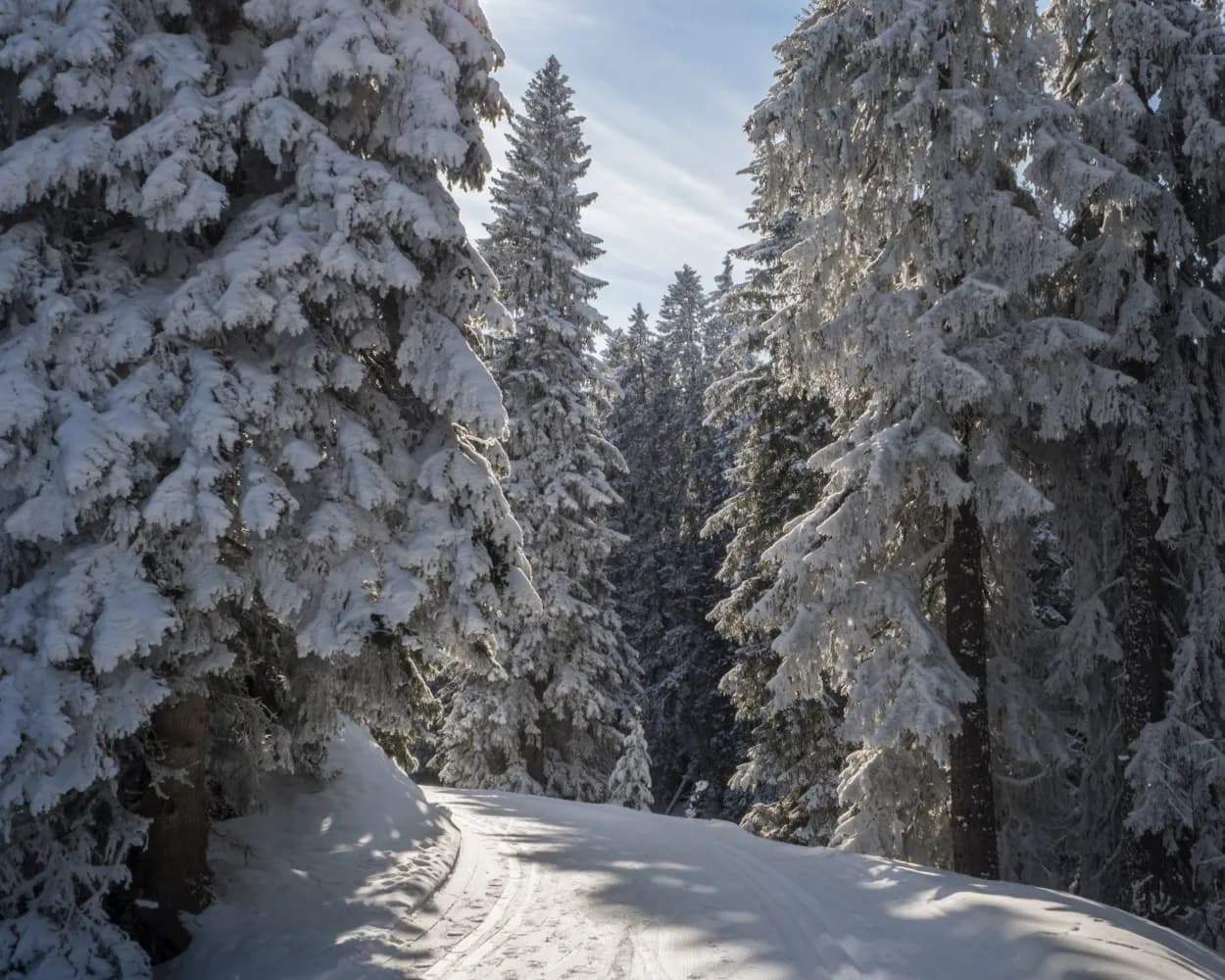
Relaxed or more challenging: these winter hikes are all reachable from St. Gallen by public transport. From easy panoramic walks to longer alpine routes, there’s something for every level of winter hiker.
The destinations below are sorted by travel time from St. Gallen to make planning easier. Be sure to check the map to explore all winter hikes and thousands of other outdoor activities reachable from any starting point in Switzerland.
Much more on ovunta.com/en/map
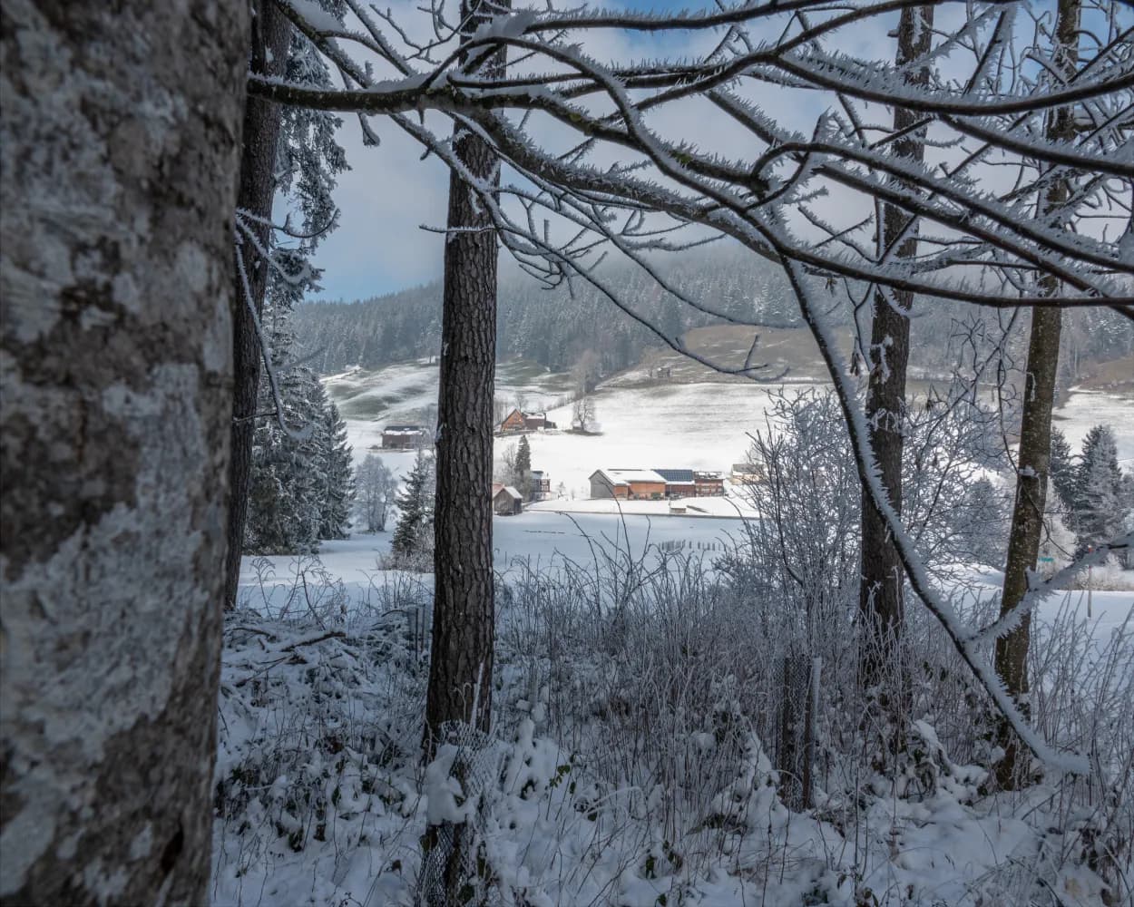
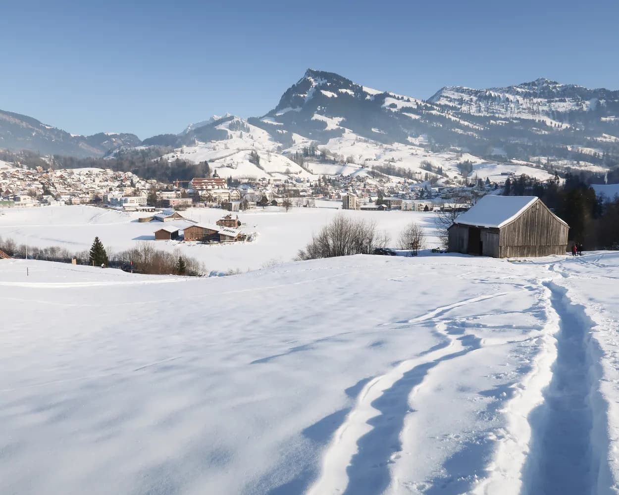
Outsmarting the fog: This easy hike takes you from the village of Gais, awarded with the Wakker Prize, to the Stoss Pass and back again, along sunny slopes that offer a magnificent view of the Rhine Valley.
 8km
8km 170m
170m 170m
170m 2h 35m
Landscape: Over a pass,With panoramic views
Tour published by:
SwitzerlandMobility
Learn more on
schweizmobil.ch
| St. Gallen (08:52) | |
| S21 (27m) | |
| Gais (09:19) |
The ascent to Osteregg and Zimmermannslauftegg is not the easiest. But once you reach the top, the effort is soon forgotten. A stunning view stretching from the Appenzell hills all the way to Lake Constance is your reward.
11km580m580m4h 15mTour published by:
SwitzerlandMobility
Learn more on
schweizmobil.ch
| St. Gallen (08:37) | |
| IR13 (7m) | |
| Gossau SG (08:44) |
| Gossau SG (08:51) | |
| S23 (22m) | |
| Urnäsch (09:13) |
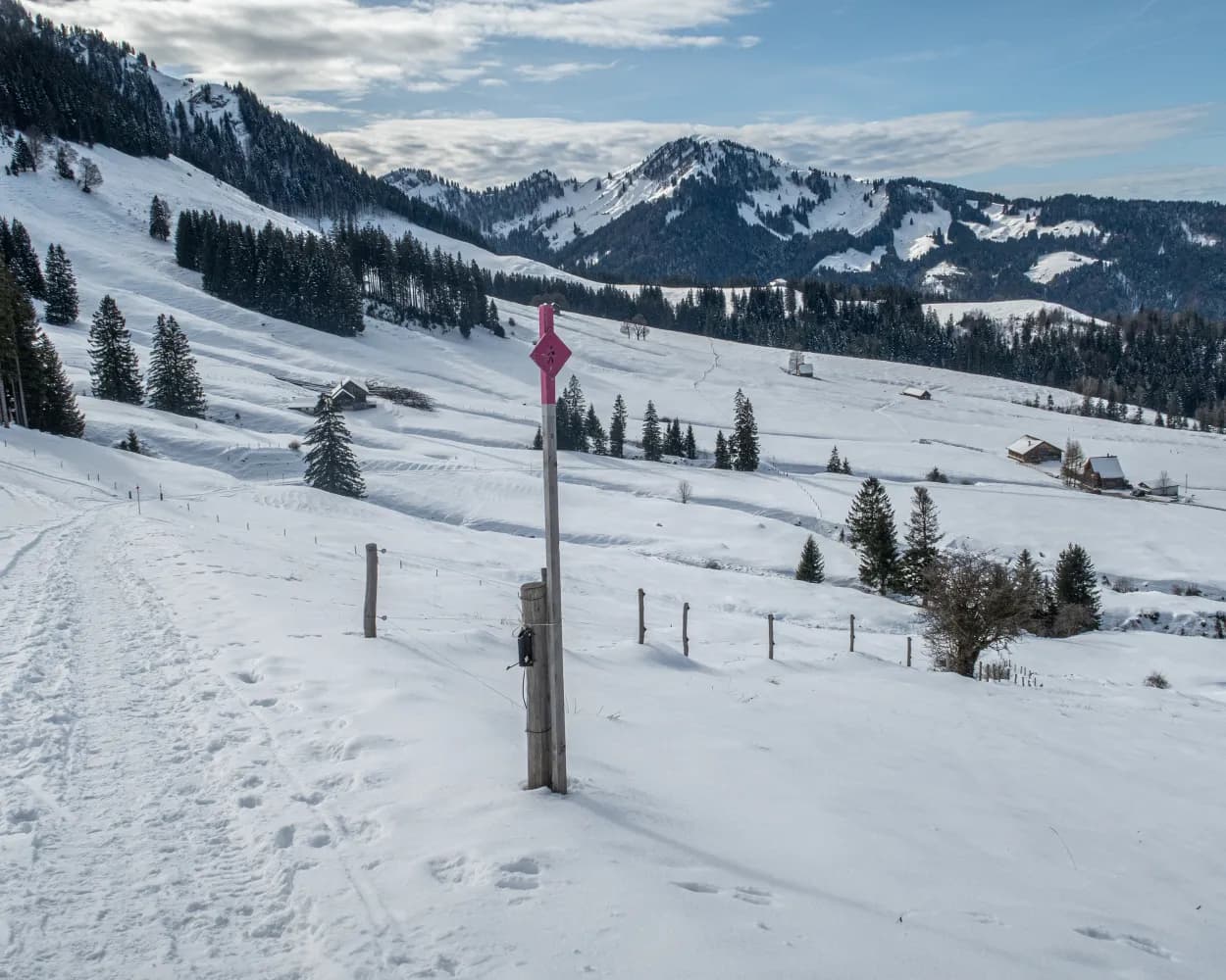
The mostly flat winter hiking trail leads through the snow-covered high valley of Gonten. The tour through the protected Gontenmoos moorland will captivate you with its unique nature and the numerous "Toobeschopfe" (old peat huts).
5km80m70m1h 25mTour published by:
SwitzerlandMobility
Learn more on
schweizmobil.ch
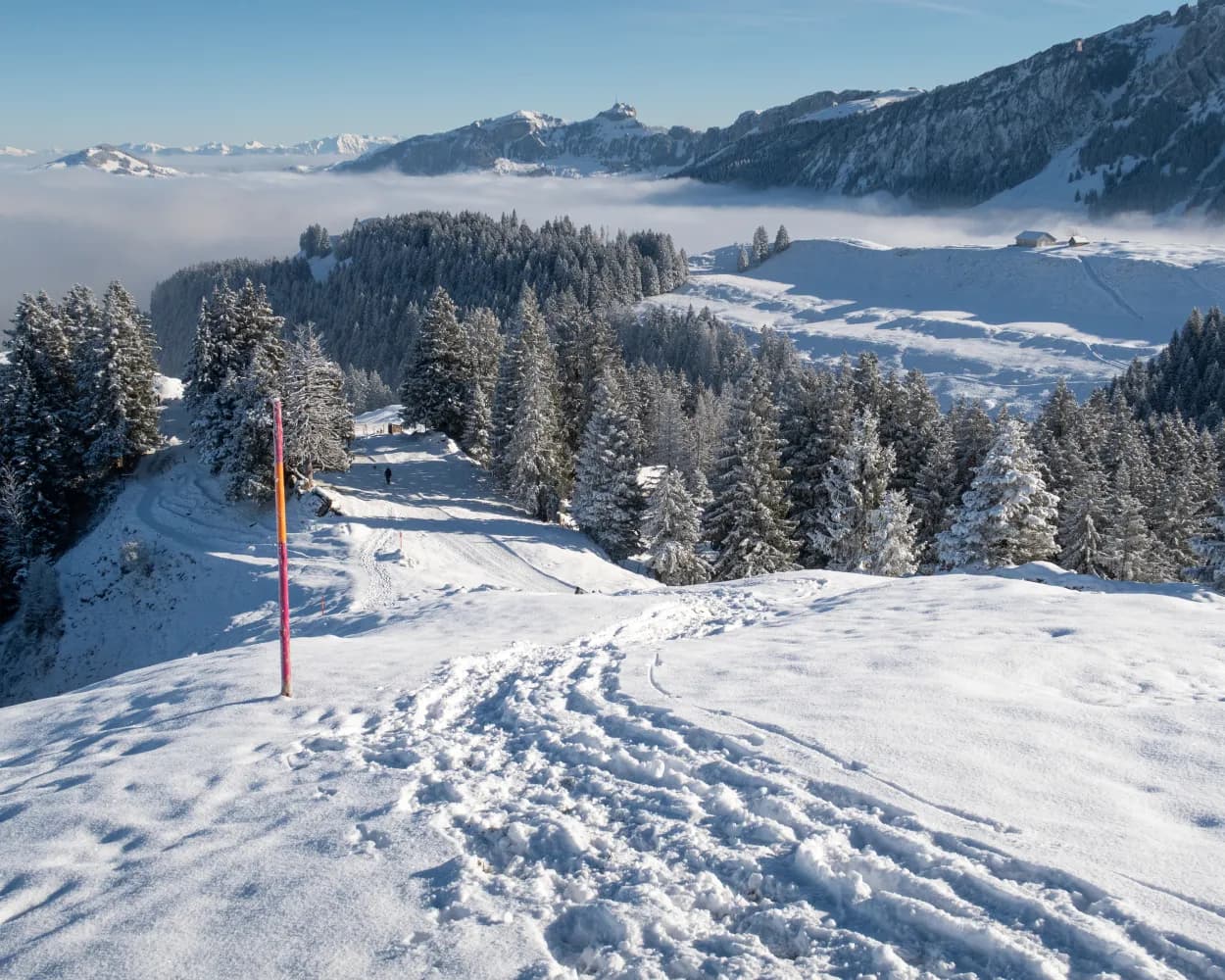
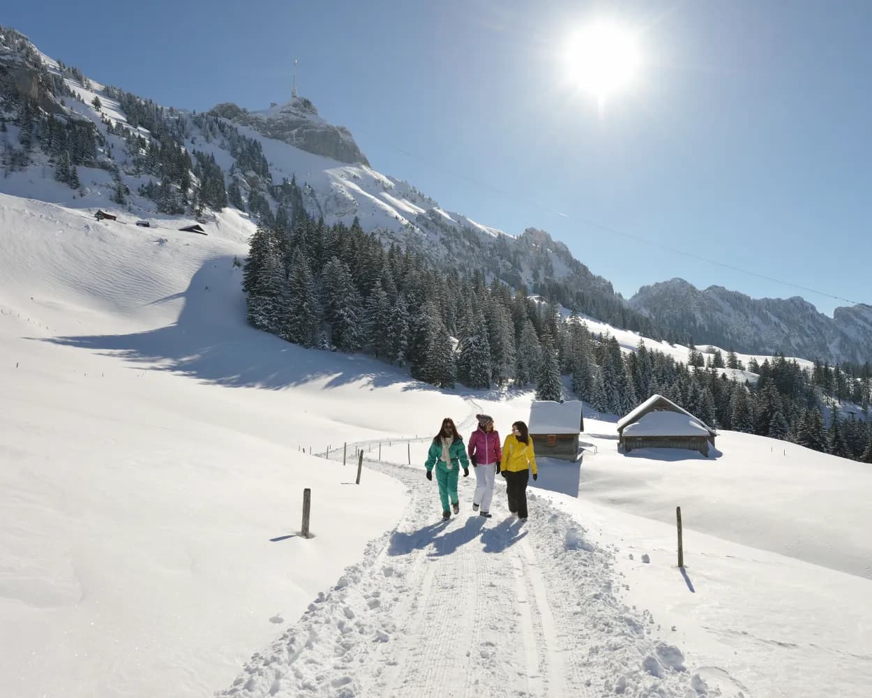
The winter hiking trail from the Kronberg summit leads gently downhill to Jakobsbad. Fantastic views of the Säntis and welcoming mountain inns beckon along the way.
8km20m800m2h 30mTour published by:
SwitzerlandMobility
Learn more on
schweizmobil.ch
| St. Gallen (08:37) | |
| IR13 (7m) | |
| Gossau SG (08:44) |
| Gossau SG (08:51) | |
| S23 (27m) | |
| Jakobsbad (09:18) |
A must for romantics: The Laternliweg (Lantern Trail) in the Schwägalp nature discovery park leads through a snowy fairy-tale landscape. Over 50 lanterns light the way through the sparkling winter wonderland for a one-of-a-kind experience.
3km120m120m1h 5mTour published by:
SwitzerlandMobility
Learn more on
schweizmobil.ch
| St. Gallen (08:37) | |
| IR13 (7m) | |
| Gossau SG (08:44) |
| Gossau SG (08:51) | |
| S23 (22m) | |
| Urnäsch (09:13) |
| Urnäsch, Bahnhof (09:17) | |
| 791 (13m) | |
| Schwägalp, Passhöhe (09:30) |
Trudge downhill on the sunny side, through the enchanting, silent landscape of Wolzenalp. Views of the Alpstein and Toggenburg mountains are your constant companions along the groomed trail.
5km60m420m1h 45mTour published by:
SwitzerlandMobility
Learn more on
schweizmobil.ch
| St. Gallen (08:57) | |
| S2 (53m) | |
| Nesslau-Neu St. Johann (09:50) |
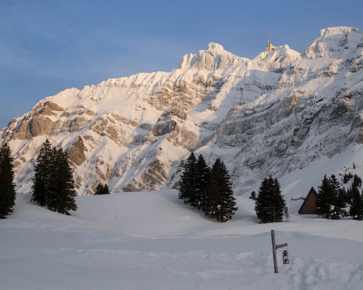
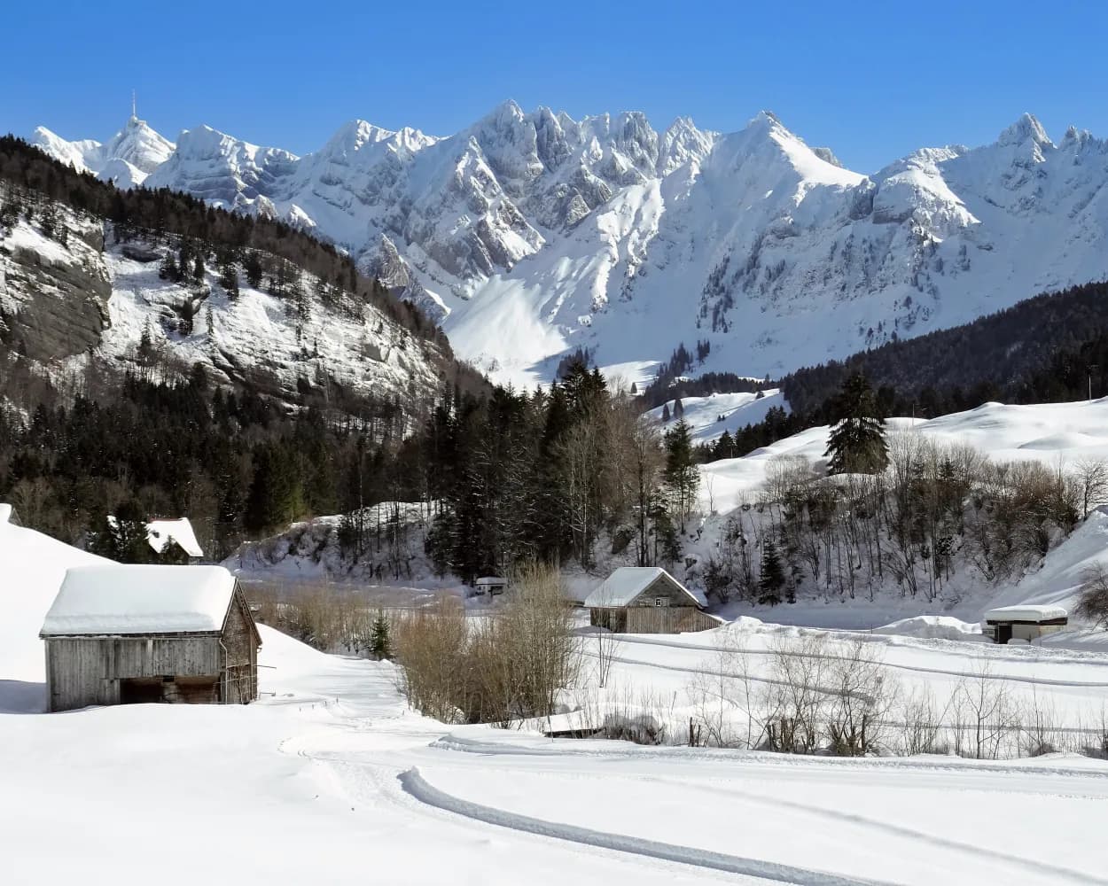
Forests steeped in legend, alpine meadows in hibernation, and the unique landscape of the Alpstein mountains in plain sight. This winter hike at the foot of Hoher Kasten offers an exceptional experience and is suitable for hikers in good physical condition.
9km460m460m3h 35mTour published by:
SwitzerlandMobility
Learn more on
schweizmobil.ch
| St. Gallen (08:37) | |
| IR13 (7m) | |
| Gossau SG (08:44) |
| Gossau SG (08:51) | |
| S23 (44m) | |
| Weissbad (09:35) |
| Weissbad, Bahnhof (09:37) | |
| 192 (7m) | |
| Brülisau, Kastenbahn (09:44) |
Do you fancy a relaxed winter hike with views of the Säntis Mountain? The idyllic path takes you through open terrain, along the Sunnehalbriet. As it is a short trail, you have enough time to rest on one of the benches, stop at the Loipenkafi café or make a detour to the sulphur spring.
2km30m30m30mTour published by:
SwitzerlandMobility
Learn more on
schweizmobil.ch
| St. Gallen (08:57) | |
| S2 (53m) | |
| Nesslau-Neu St. Johann (09:50) |
| Nesslau-Neu St.Johann, Bahnhof (10:07) | |
| 792 (9m) | |
| Ennetbühl, Rietbad (10:16) |
On this winter hiking trail, you can escape the fog and enjoy the mystical mood in the open landscape of the upland moor, the largest in Switzerland. It lies in a high valley where the Biber river flows in its natural bed.
7km50m50m2h 5mTour published by:
SwitzerlandMobility
Learn more on
schweizmobil.ch
| St. Gallen (09:05) | |
| VAE (1h 22m) | |
| Rothenthurm (10:27) |
The winter hiking path over Alp Sellamatt leads through the fabulous natural landscape in the bosom of Churfirsten. The view reaches far down into Thur Valley and the sea of fog, which is in winter often spreading over the lowland. Boards at the wayside tell legends from Toggenburg.
9km260m260m2h 55mTour published by:
SwitzerlandMobility
Learn more on
schweizmobil.ch
| St. Gallen (08:57) | |
| S2 (53m) | |
| Nesslau-Neu St. Johann (09:50) |
| Nesslau-Neu St.Johann, Bahnhof (09:55) | |
| 790 (14m) | |
| Alt St. Johann, Dorf (10:09) |
| Alt St. Johann (Sellamattbahn) (10:16) | |
| 2765 (7m) | |
| Alp Sellamatt (10:23) |