Logo
Blog
To the map
Blog header image

Winter Hikes from Lugano by public transport

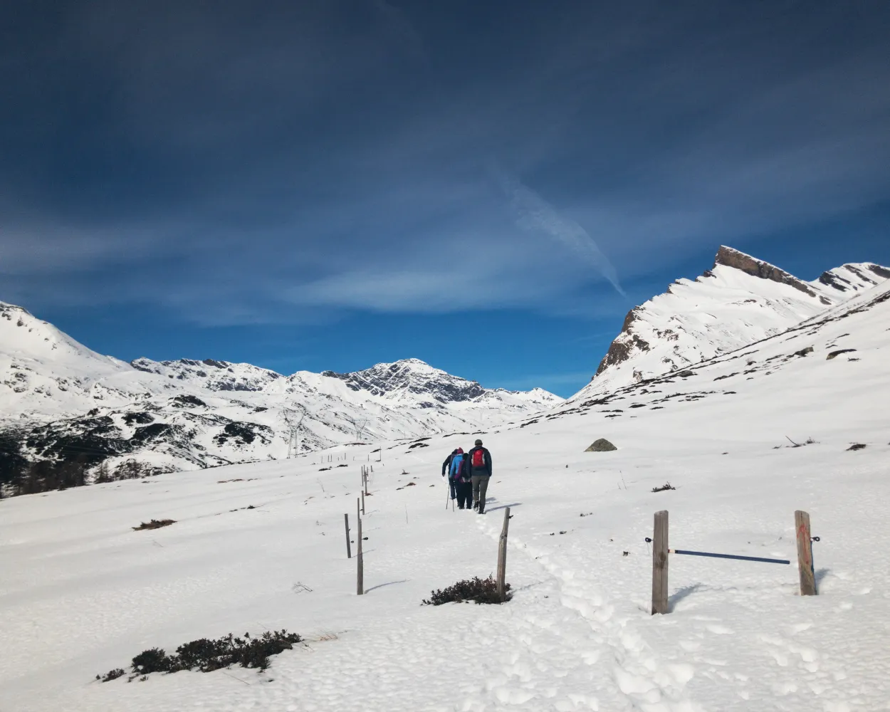
Relaxed or more challenging: these winter hikes are all reachable from Lugano by public transport. From easy panoramic walks to longer alpine routes, there’s something for every level of winter hiker.

The destinations below are sorted by travel time from Lugano to make planning easier. Be sure to check the map to explore all winter hikes and thousands of other outdoor activities reachable from any starting point in Switzerland.

Much more on ovunta.com/en/map
Discover other activities close to Lugano

  • Snowshoeing from Lugano by public transport
  • Sledging runs from Lugano by public transport
  • Ride the Rails, Hit the Slopes: Transit-Reachable Ski Areas Near Lugano
  • Cross-country skiing resorts from Lugano by public transport

Start from elsewhere?

  • Winter Hikes from Locarno by public transport
  • Winter Hikes from Bellinzona by public transport
1/10

Sentiero Pian Cales

Minimum travel time: 1h 16m to S. Bernardino, Villaggio

A beautiful hike with views over the resort of San Bernardino and the surrounding mountains. Our constant companion on our journey over an idyllic alpine pasture and the ski slopes of Pian Cales: the Piz Uccello, the landmark of San Bernardino.

dist6 km
|
asce220 m
|
desc220 m
|
dura2h 10m
  • land

    Landscape: With panoramic views,Through a Swiss Park

Tour published by:

SwitzerlandMobility

Learn more on
schweizmobil.ch


How to get to Sentiero Pian Cales

Fastest connection from Lugano to S. Bernardino, Villaggio: 1h 16m
EC (16m)
Walk from to
171 (50m)
Search Connections & Buy Tickets on SBB
2/10

Rothenthurm-Winterwanderweg

Minimum travel time: 1h 27m to Rothenthurm

On this winter hiking trail, you can escape the fog and enjoy the mystical mood in the open landscape of the upland moor, the largest in Switzerland. It lies in a high valley where the Biber river flows in its natural bed.

dist7 km
|
asce50 m
|
desc50 m
|
dura2h 5m

    Tour published by:

    SwitzerlandMobility

    Learn more on
    schweizmobil.ch


    How to get to Rothenthurm-Winterwanderweg

    Fastest connection from Lugano to Rothenthurm: 1h 27m
    EC (1h 9m)
    VAE (13m)
    Search Connections & Buy Tickets on SBB
    3/10

    Sentiero Camperio–Gorda

    Minimum travel time: 1h 27m to Camperio, Ospizio

    The classic hike to the Gorda hut which is situated on a gentle, sunny plateau and offers spectacular views of the Adula massif and the entire Valle del Sole. The ascent leads through an enchanted forest and past snow-covered stone huts.

    dist13 km
    |
    asce660 m
    |
    desc660 m
    |
    dura5h 0m

      Tour published by:

      SwitzerlandMobility

      Learn more on
      schweizmobil.ch


      How to get to Sentiero Camperio–Gorda

      Fastest connection from Lugano to Camperio, Ospizio: 1h 27m
      EC (16m)
      S10 (17m)
      Walk from to
      131 (37m)
      131 (7m)
      Search Connections & Buy Tickets on SBB
      4/10

      Sentiero Valle Verzasca

      Minimum travel time: 1h 30m to Frasco, Chiesa

      This route, which follows an easily accessible level footpath, invites you to discover the Valle Verzasca at a time of year when it is least crowded. Walking along the river, among typical stone cottages («rustici»), you will enjoy the peace and quiet of one of Ticino’s most beautiful landscapes.

      dist7 km
      |
      asce130 m
      |
      desc130 m
      |
      dura2h 10m

        Tour published by:

        SwitzerlandMobility

        Learn more on
        schweizmobil.ch


        How to get to Sentiero Valle Verzasca

        Fastest connection from Lugano to Frasco, Chiesa: 1h 30m
        RE80 (25m)
        Walk from to
        321 (52m)
        Search Connections & Buy Tickets on SBB
        5/10

        Sentiero Carì–Predèlp

        Minimum travel time: 1h 31m to Carì, Paese

        Lovely hike through the snow-covered spruce and pine forests above the sunny village of Carì. Passing Prodör and Predelp, it leads to the agri-tourism site Alla Meta, where local products can be tasted.

        dist6 km
        |
        asce150 m
        |
        desc150 m
        |
        dura1h 50m

          Tour published by:

          SwitzerlandMobility

          Learn more on
          schweizmobil.ch


          How to get to Sentiero Carì–Predèlp

          Fastest connection from Lugano to Carì, Paese: 1h 31m
          IC21 (14m)
          S10 (39m)
          Walk from to
          119 (30m)
          Search Connections & Buy Tickets on SBB
          6/10

          Römerweg Rheinwald

          Minimum travel time: 1h 38m to Splügen, Dorf

          On the sunlit side of the Rheinwald massif, the Roman Trail links the villages of Splügen and Sufers. Along the way: lovely views of various peaks and – after traversing the snowclad fairytale forest – Lake Sufers, almost entirely frozen over.

          dist5 km
          |
          asce110 m
          |
          desc150 m
          |
          dura1h 30m
          • land

            Landscape: Through a Swiss Park,With panoramic views,Along the water

          Tour published by:

          SwitzerlandMobility

          Learn more on
          schweizmobil.ch


          How to get to Römerweg Rheinwald

          Fastest connection from Lugano to Splügen, Dorf: 1h 38m
          EC (16m)
          Walk from to
          171 (1h 12m)
          Search Connections & Buy Tickets on SBB
          7/10

          Rigi-Panoramaweg

          Minimum travel time: 1h 41m to Rigi Scheidegg

          This fascinating panorama trail follows the route of the old Rigi Scheidegg Railway on flat terrain as far as Unterstetten, then continues on a gentle incline to Rigi Scheidegg.

          dist7 km
          |
          asce220 m
          |
          desc20 m
          |
          dura2h 20m

            Tour published by:

            SwitzerlandMobility

            Learn more on
            schweizmobil.ch


            How to get to Rigi-Panoramaweg

            Fastest connection from Lugano to Rigi Scheidegg: 1h 41m
            IC2 (1h 12m)
            Walk from to
            81 (8m)
            Walk from to
            PB (6m)
            Search Connections & Buy Tickets on SBB
            8/10

            Urserntal-Weg

            Minimum travel time: 1h 44m to Andermatt

            The winter hiking trail between Andermatt and Realp runs along the Reuss through the valley. It takes you past Hospental with its distinctive Tower of the Lords and then through the smallest village in Switzerland.

            dist9 km
            |
            asce180 m
            |
            desc70 m
            |
            dura2h 50m

              Tour published by:

              SwitzerlandMobility

              Learn more on
              schweizmobil.ch


              How to get to Urserntal-Weg

              Fastest connection from Lugano to Andermatt: 1h 44m
              IC2 (48m)
              Walk from to
              410 (40m)
              Walk from to
              Search Connections & Buy Tickets on SBB
              9/10

              Engelstock-Rundweg

              Minimum travel time: 1h 46m to Sattel Mostelberg (Bergstat.)

              A revolving gondola, a foot suspension bridge and a spectacular view of the Schwyz basin, the surrounding mountains and lakes – the Engelstock Circuit Trail offers a leisurely hike full of variety.

              dist5 km
              |
              asce220 m
              |
              desc220 m
              |
              dura1h 50m

                Tour published by:

                SwitzerlandMobility

                Learn more on
                schweizmobil.ch


                How to get to Engelstock-Rundweg

                Fastest connection from Lugano to Sattel Mostelberg (Bergstat.): 1h 46m
                EC (1h 9m)
                VAE (13m)
                Walk from to
                609 (6m)
                Walk from to
                GB (8m)
                Search Connections & Buy Tickets on SBB
                10/10

                Sentiero Airolo–Pesciüm

                Minimum travel time: 1h 50m to Pesciüm

                The winter hiking trail between Airolo and Pesciüm, overlooking the majestic massif of the St. Gotthard, offers a privileged point of view to enjoy the scenic landscapes of the heart of the Swiss Alps.

                dist3 km
                |
                asce100 m
                |
                desc100 m
                |
                dura55m
                • land

                  Landscape: Through a Swiss Park,With panoramic views

                Tour published by:

                SwitzerlandMobility

                Learn more on
                schweizmobil.ch


                How to get to Sentiero Airolo–Pesciüm

                Fastest connection from Lugano to Pesciüm: 1h 50m
                EC (16m)
                IR26 (58m)
                Walk from to
                112 (2m)
                Walk from to
                2600 (5m)
                Search Connections & Buy Tickets on SBB