Logo
Blog
To the map
Blog header image

Winter Hikes from Geneva by public transport

Relaxed or more challenging: these winter hikes are all reachable from Geneva by public transport. From easy panoramic walks to longer alpine routes, there’s something for every level of winter hiker.

The destinations below are sorted by travel time from Geneva to make planning easier. Be sure to check the map to explore all winter hikes and thousands of other outdoor activities reachable from any starting point in Switzerland.

Much more on ovunta.com/en/map

Discover other activities close to Geneva

  • From Geneva to the Mountains: Ski Resorts You Can Access Easily by Public Transport
  • Snowshoeing from Geneva by public transport
  • Sledging runs from Geneva by public transport
  • Cross-country skiing resorts from Geneva by public transport
1/10

Chemin La Givrine–Le Vermeilley

Minimum travel time: 1h 4m to La Givrine

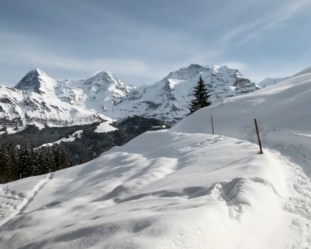
This winter walk between La Givrine and Le Vermeilley involves a gentle climb affording beautiful views of the forest in the heart of the Parc Jura Vaudois and a panoramic vista of Mont Blanc.

dist9 km
|
asce240 m
|
desc240 m
|
dura2h 55m
  • land

    Landscape: With panoramic views,Through a Swiss Park

Tour published by:

SwitzerlandMobility

Learn more on
schweizmobil.ch

How to get to Chemin La Givrine–Le Vermeilley

Fastest connection from Genève to La Givrine: 1h 4m
RE33 (16m)
R55 (43m)
Search Connections & Buy Tickets on SBB
2/10

Chemin Col du Mollendruz–Vernant

Minimum travel time: 1h 36m to Mollendruz, col

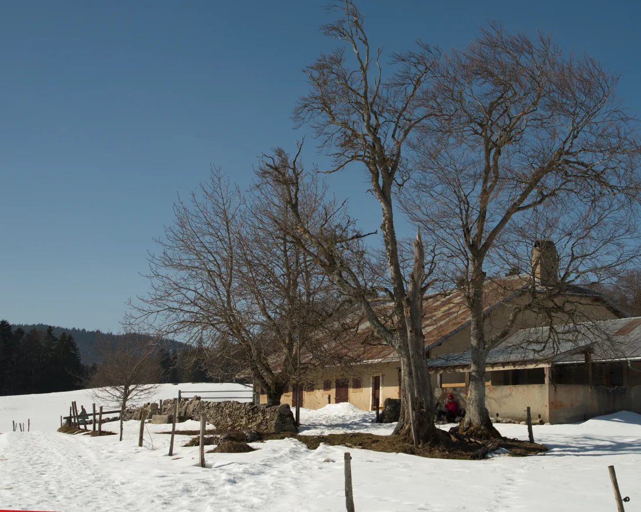
Starting from Col du Mollendruz, the link between the Lake Geneva basin and Lake Joux, this walking route offers spectacular views of the plain and the Alps. You can opt to walk all or half of the route.

dist8 km
|
asce170 m
|
desc170 m
|
dura2h 30m
  • land

    Landscape: With panoramic views,Through a Swiss Park

Tour published by:

SwitzerlandMobility

Learn more on
schweizmobil.ch

How to get to Chemin Col du Mollendruz–Vernant

Fastest connection from Genève to Mollendruz, col: 1h 36m
IC (32m)
R1 (9m)
Walk from to
750 (41m)
Search Connections & Buy Tickets on SBB
3/10

Chemin Caux–Gresalleys

Minimum travel time: 1h 43m to Les Echets

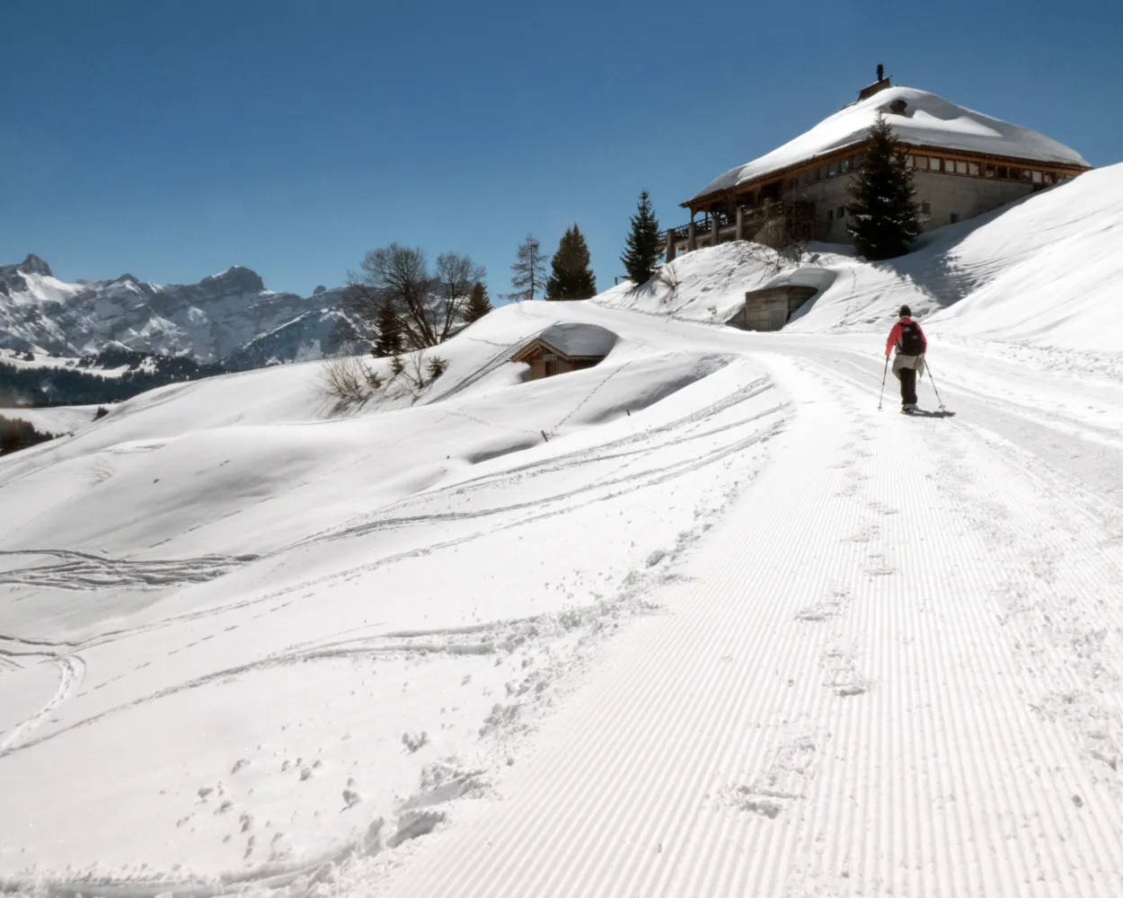
Discover Caux, with its delightful Belle-Epoque buildings, beautiful natural surroundings and stunning views, imbued with a romantic ambiance and incomparable charm. This was a favourite place for the empress Sissi to come and do her long walks.

dist6 km
|
asce90 m
|
desc90 m
|
dura1h 50m
  • land

    Landscape: With panoramic views,Through a Swiss Park

Tour published by:

SwitzerlandMobility

Learn more on
schweizmobil.ch

How to get to Chemin Caux–Gresalleys

Fastest connection from Genève to Les Echets: 1h 43m
RE33 (1h 12m)
R37 (23m)
Search Connections & Buy Tickets on SBB
4/10

Chemin Villars–Col de la Croix golf club

Minimum travel time: 1h 54m to Villars-sur-Ollon, tennis

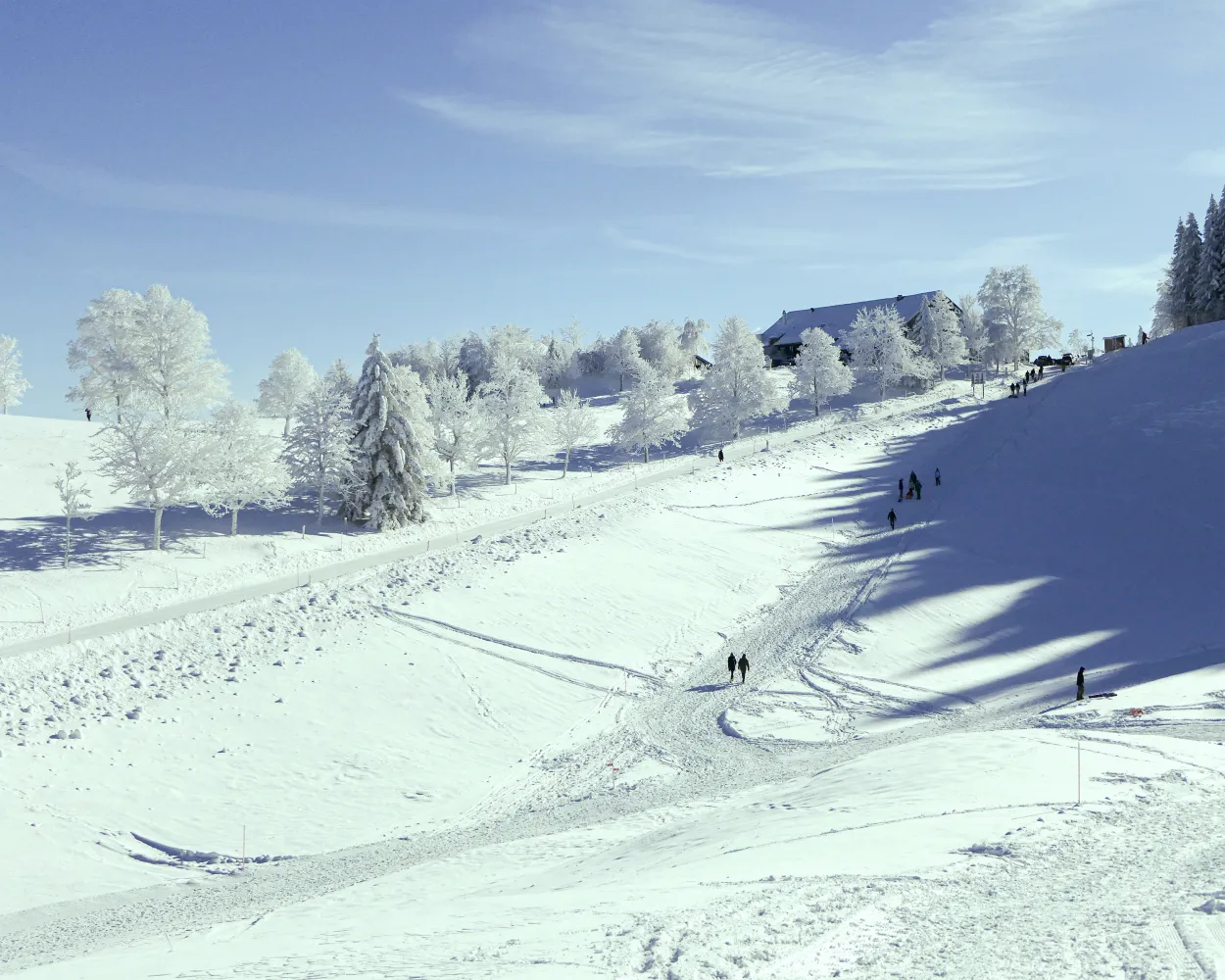
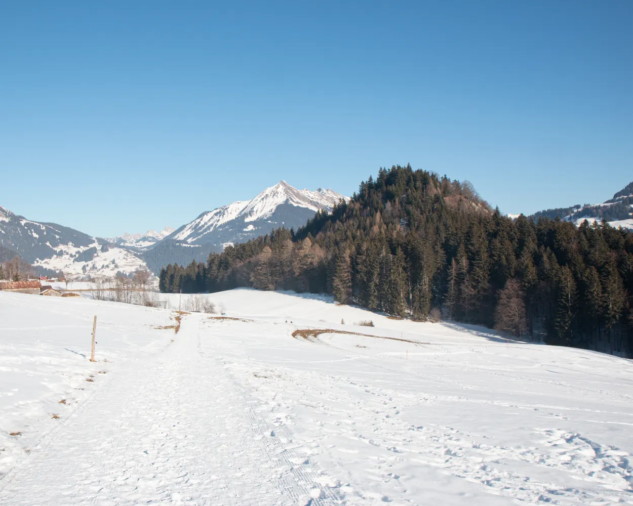
In the heart of the Vaud Alps, in a sunny climate, this winter walk between the hills above the village of Villars-sur-Ollon and the Villars Golf Course will take you along the famous Col de la Croix road leading to Les Diablerets.

dist7 km
|
asce340 m
|
desc30 m
|
dura2h 20m

    Tour published by:

    SwitzerlandMobility

    Learn more on
    schweizmobil.ch

    How to get to Chemin Villars–Col de la Croix golf club

    Fastest connection from Genève to Villars-sur-Ollon, tennis: 1h 54m
    IR90 (1h 15m)
    Walk from to
    144 (26m)
    163 (5m)
    Search Connections & Buy Tickets on SBB
    5/10

    Chemin La Vue des Alpes–Tête de Ran

    Minimum travel time: 2h 0m to Vue-des-Alpes

    This winter hike takes you into the heart of the Neuchâtel Jura between snow-covered valleys and mountain ranges. From the Col de la Vue des Alpes, the route leads to the sun-drenched Tête de Ran peak. Once at the top, the view stretches from the Säntis to the Mont Blanc, while the French Jura and the Vosges mountains rise up towards the north.

    dist7 km
    |
    asce220 m
    |
    desc220 m
    |
    dura2h 25m

      Tour published by:

      SwitzerlandMobility

      Learn more on
      schweizmobil.ch


      How to get to Chemin La Vue des Alpes–Tête de Ran

      Fastest connection from Genève to Vue-des-Alpes: 2h 0m
      IC1 (32m)
      IC51 (40m)
      RE6 (19m)
      Walk from to
      426 (12m)
      Search Connections & Buy Tickets on SBB
      6/10

      Chemin du Renardeau

      Minimum travel time: 2h 3m to Leysin, En Crettaz

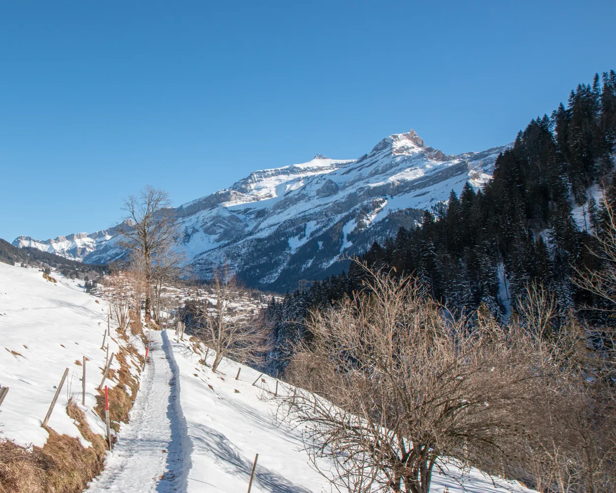
      A lovely walk in the countryside with the delightful surprise of spotting deer in the clearing of the forest. Stop off at the “snow village” at the Tobogganing Park to visit the magical land of igloos.

      dist4 km
      |
      asce100 m
      |
      desc100 m
      |
      dura1h 20m
      • land

        Landscape: Through a Swiss Park,With panoramic views

      Tour published by:

      SwitzerlandMobility

      Learn more on
      schweizmobil.ch

      How to get to Chemin du Renardeau

      Fastest connection from Genève to Leysin, En Crettaz: 2h 3m
      IR90 (1h 15m)
      R71 (28m)
      Walk from to
      175 (7m)
      Search Connections & Buy Tickets on SBB
      7/10

      Chemin Les Diablerets–Vers l’Eglise

      Minimum travel time: 2h 10m to Plan Morier

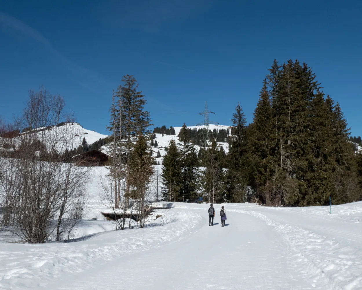
      This winter walk is a chance to explore the charming little village of Vers-l'Eglise. Part of the route follows the «Grande Eau» river, the other takes you up to the hills above the village, offering exceptional views of the Les Diablerets mountains and the village.

      dist4 km
      |
      asce110 m
      |
      desc110 m
      |
      dura1h 25m

        Tour published by:

        SwitzerlandMobility

        Learn more on
        schweizmobil.ch

        How to get to Chemin Les Diablerets–Vers l’Eglise

        Fastest connection from Genève to Plan Morier: 2h 10m
        IR90 (1h 15m)
        R71 (46m)
        Search Connections & Buy Tickets on SBB
        8/10

        Chemin Les Mosses–La Lécherette

        Minimum travel time: 2h 12m to Les Mosses, Col des Mosses

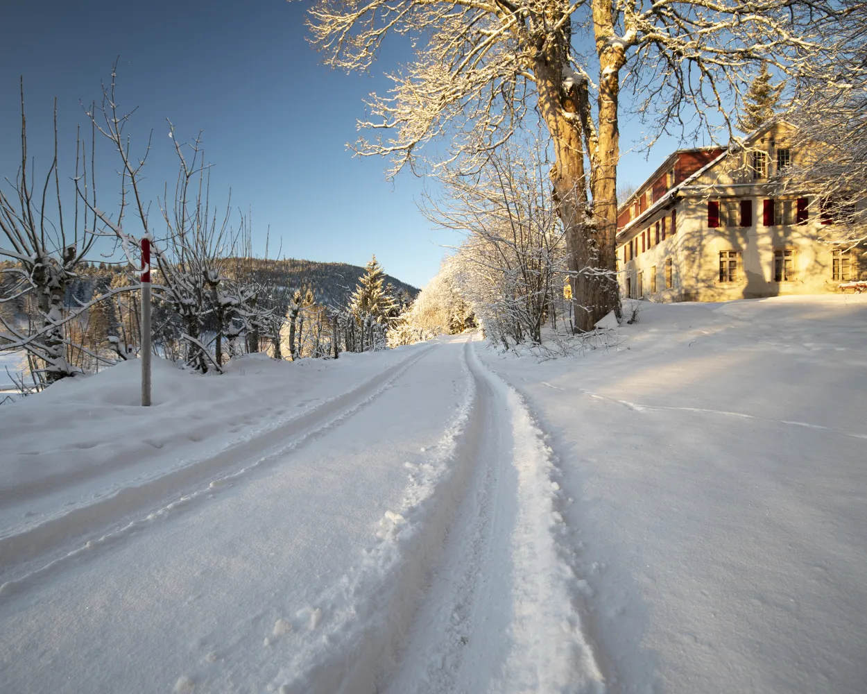
        Nestled between Pays-d’Enhaut, Gruyère and the Riviera, the magical resort of Col des Mosses in the Vaud Alps benefits from an exceptional setting. Developed on an area of marshland, called “la Mosse” by the people of Ormont, this relaxing, magical walk is an invitation to linger.

        dist7 km
        |
        asce170 m
        |
        desc170 m
        |
        dura2h 20m

          Tour published by:

          SwitzerlandMobility

          Learn more on
          schweizmobil.ch

          How to get to Chemin Les Mosses–La Lécherette

          Fastest connection from Genève to Les Mosses, Col des Mosses: 2h 12m
          IR90 (1h 15m)
          R71 (28m)
          Walk from to
          175 (14m)
          Search Connections & Buy Tickets on SBB
          9/10

          Chemin de Prés-d’Orvin

          Minimum travel time: 2h 12m to Les Prés-d'Orvin, Bellevue

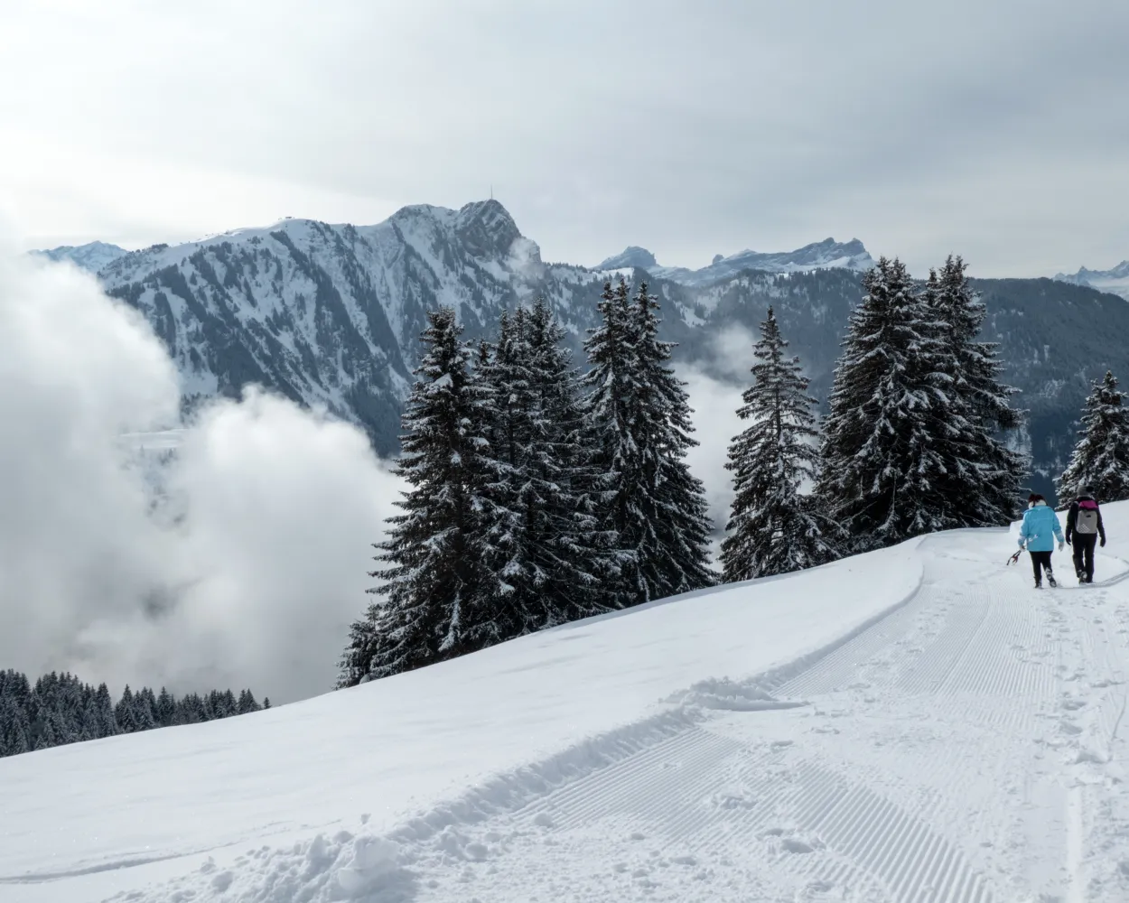
          This winter walk, which starts in the village of Prés-d’Orvin, will take you onto the Chasseral ridge at a height of 1,288 m where a magnificent panorama over Lake Neuchâtel, the plateau and the Alpine chain awaits you.

          dist9 km
          |
          asce300 m
          |
          desc300 m
          |
          dura3h 0m
          • land

            Landscape: Through a Swiss Park,Onto a mountain peak,With panoramic views

          Tour published by:

          SwitzerlandMobility

          Learn more on
          schweizmobil.ch

          How to get to Chemin de Prés-d’Orvin

          Fastest connection from Genève to Les Prés-d'Orvin, Bellevue: 2h 12m
          IC (32m)
          IC51 (1h 1m)
          Walk from to
          70 (27m)
          Search Connections & Buy Tickets on SBB
          10/10

          Chemin des Fers

          Minimum travel time: 2h 14m to Leysin (station aval)

          A lovely climb through forests and meadows to the Restaurant des Fers, affording stunning views of the surrounding peaks, the best known including Le Mont d’Or, Pic Chaussy and the whole Les Diablerets mountain range.

          dist11 km
          |
          asce460 m
          |
          desc460 m
          |
          dura3h 50m

            Tour published by:

            SwitzerlandMobility

            Learn more on
            schweizmobil.ch


            How to get to Chemin des Fers

            Fastest connection from Genève to Leysin (station aval): 2h 14m
            IR90 (1h 15m)
            R70 (27m)
            Walk from to
            Search Connections & Buy Tickets on SBB
