Discover a world of alpine beauty with these ten stunning hikes accessible by public transport from Arosa. From the picturesque Schiesshorn trail with its waterfalls and lakes to the historic Walser routes, each path offers a unique perspective on the breathtaking Graubünden landscape. Whether you're looking for panoramic views, challenging ascents, or serene forest walks, there's a perfect trail waiting for you in the Arosa region.
The hikes are conveniently sorted by travel time, making it easy to plan your mountain adventure from Arosa. Check out the map to explore thousands of destinations and activities, reachable from any starting point in Switzerland.
Much more on ovunta.com/map
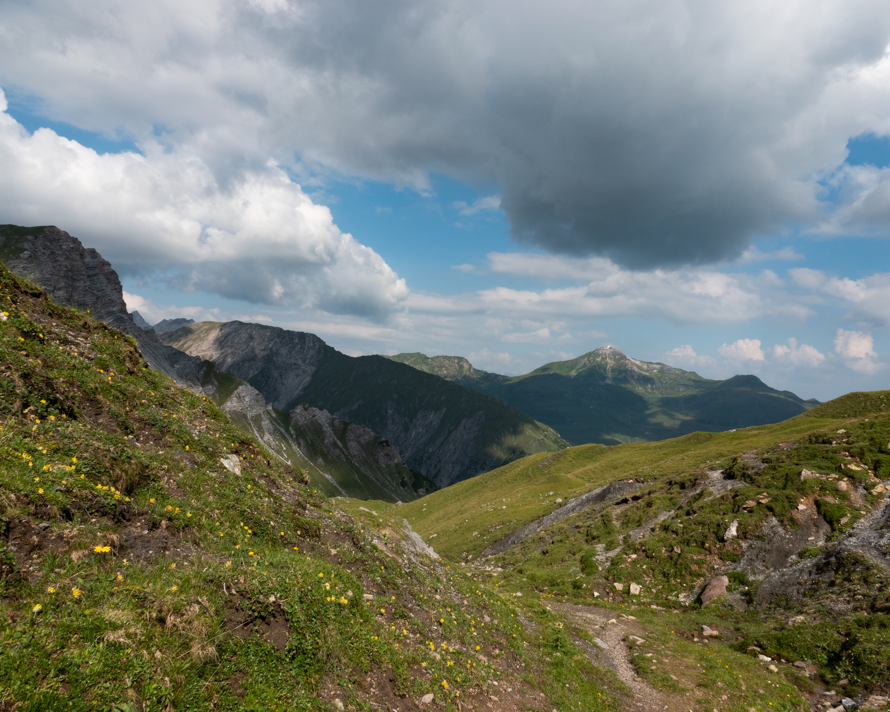
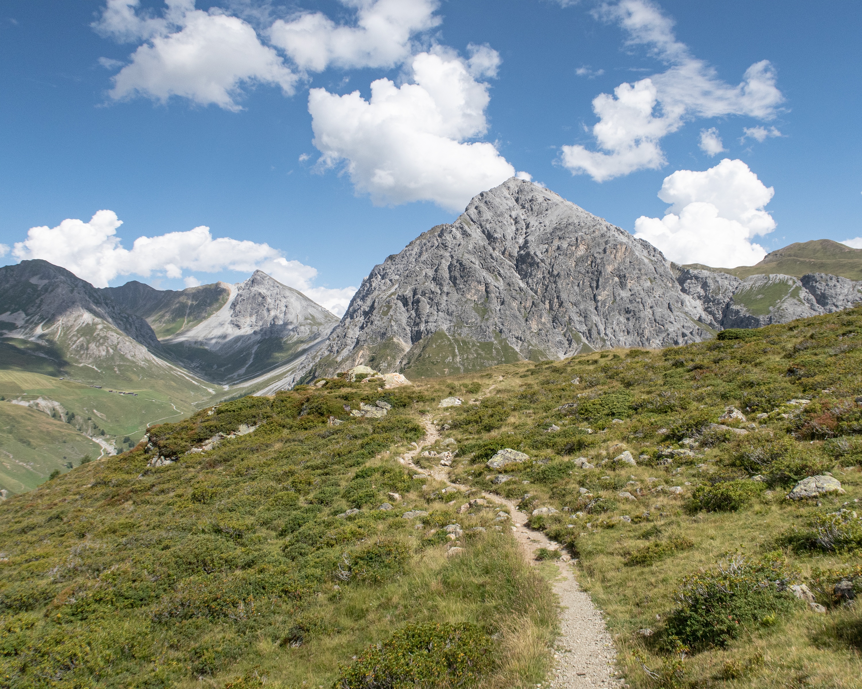
This round tour combines the terms «water» and «mountain» and offers countless beautiful views on Arosa and its surrounding. The trail passes the Altein waterfalls and the Altein lake before making a loop around the Schiesshorn mountain, including the possibility to climb to the peak.
 14km
14km 1000m
1000m 1000m
1000m 5h 15m
Barrier free: No

Landscape: With panoramic views
Tour provided by:
SwitzerlandMobility
Learn more on
schweizmobil.ch
Select an alternative stop on the map.
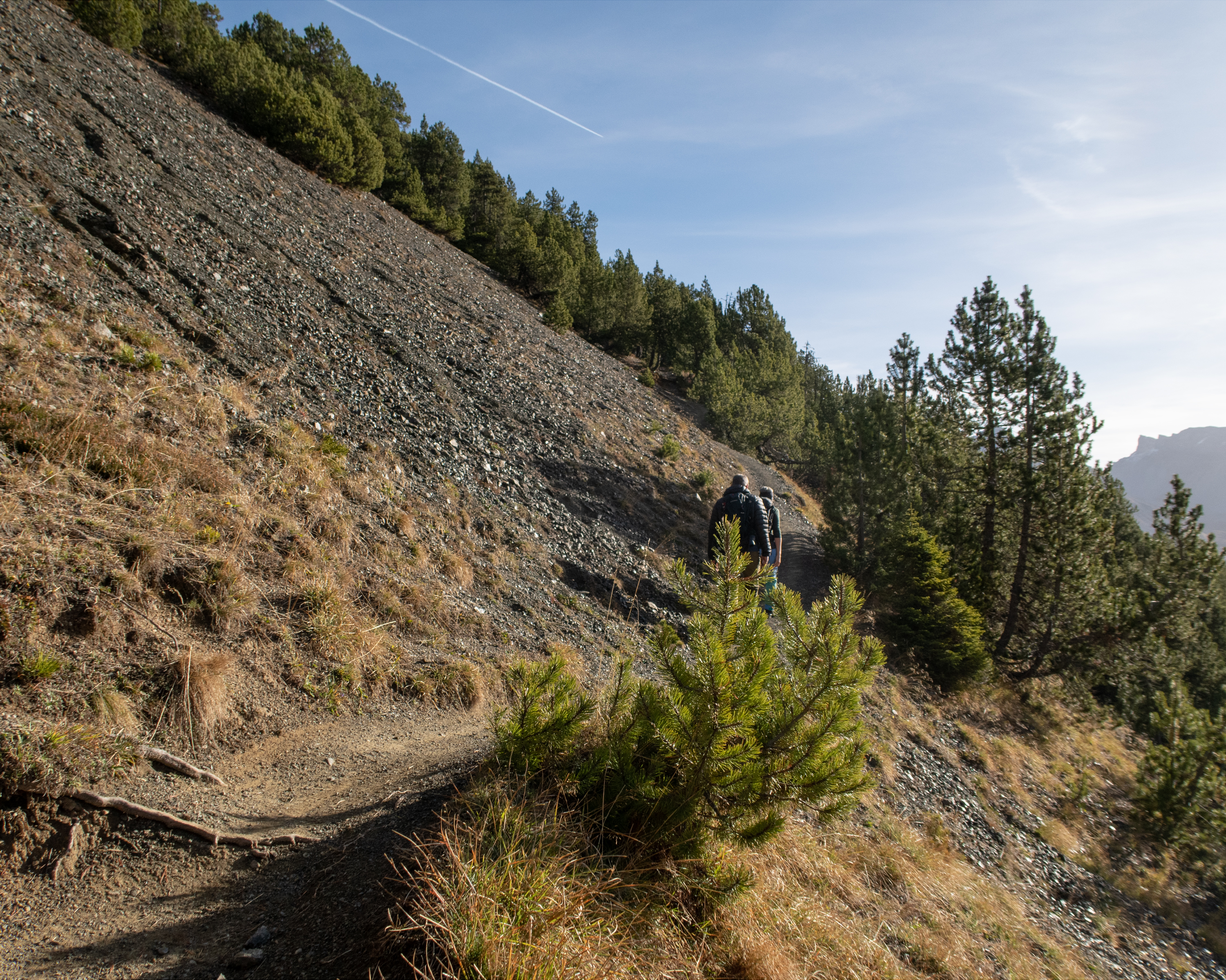
Once upon a time, Davos was a vast expanse of woodland. Then in around 1280 AD, twelve Walser farmsteads joined two Rhaeto-Romanic farmsteads, forming what is now the popular resort of Alpenstadt. The picturesque Stafelalp was the favoured retreat of the German painter Ernst Ludwig Kirchner. This route to Arosa keeps off the beaten track and boasts a magnificent mountain panorama.
16km1200m1000m6h 0mBarrier free: No
Landscape: Onto an alp, Over a pass, With panoramic views
Tour provided by:
SwitzerlandMobility
Select an alternative stop on the map.
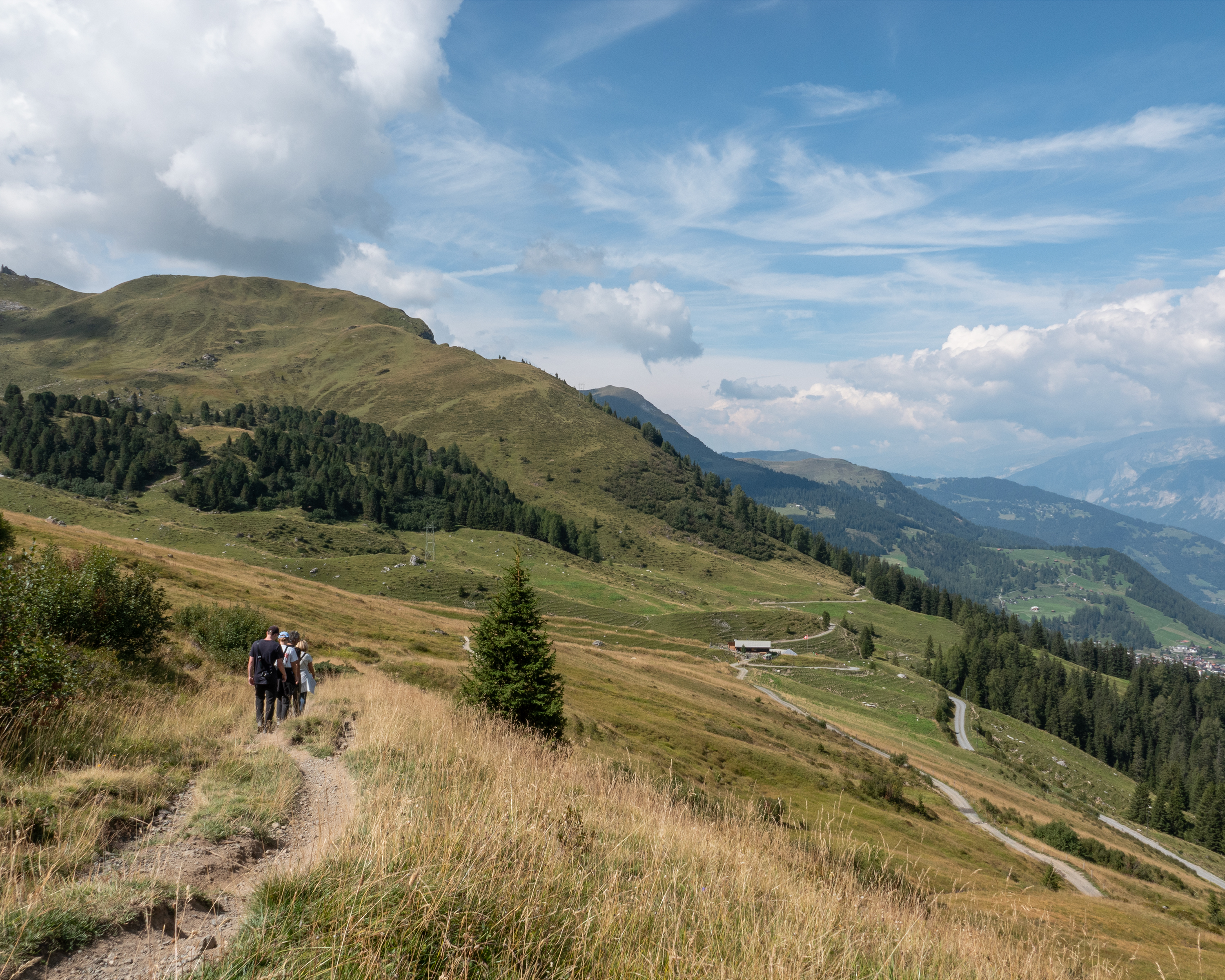
The big star of this hike is the diverse landscape around Arosa. From the highest point, the «Hauptichopf» peak, you can enjoy the splendid panorama of the Schanfigg and Rhine Valleys near Chur. Due to its convenient location, the trail is accessible from spring onwards and a popular early-season route.
15km620m620m4h 20mBarrier free: No
Landscape: Onto an alp, With panoramic views
Tour provided by:
SwitzerlandMobility
Select an alternative stop on the map.

The hike leads north of Arosa through the forest and beyond the tree line over alpine meadows. It then descends more than 650 vertical metres into the valley. Imposing peaks, sweeping horse pastures and sun-baked wooden houses bring to life the times when the Walser people lived in this wild valley all year round.
15km640m1000m4h 45mBarrier free: No
Landscape: With panoramic views
Tour provided by:
SwitzerlandMobility
Select an alternative stop on the map.
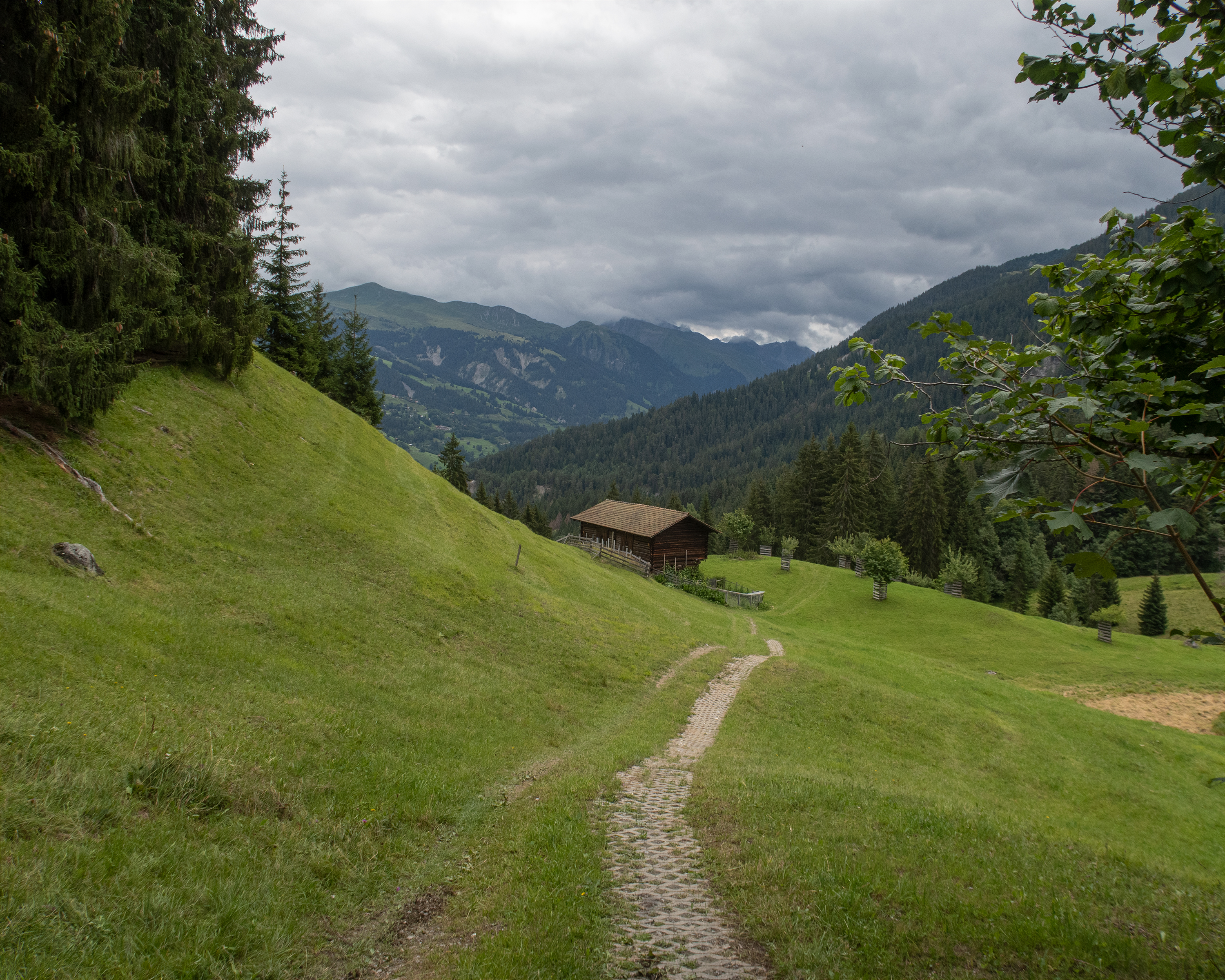
The first stop along this route is Alp Medergen, a former Walser Alp with a mountain tavern. After that, the path narrows to a mountain trail with the “Tritt” as a main landmark. At the end of this leg, you can enjoy views of Davos far below.
20km1000m1200m6h 20mBarrier free: No
Tour provided by:
SwitzerlandMobility
Learn more on
schweizmobil.ch
Select an alternative stop on the map.
The first section of the Schanfigger Höhenweg leads from Arosa across the sunny plateau of Medergen to Sapün. An extraordinary scenic tour past old Walser settlements, culminating in amazing views of the Schanfigg.
11km640m540m3h 35mBarrier free: No
Tour provided by:
SwitzerlandMobility
Learn more on
schweizmobil.ch
Select an alternative stop on the map.
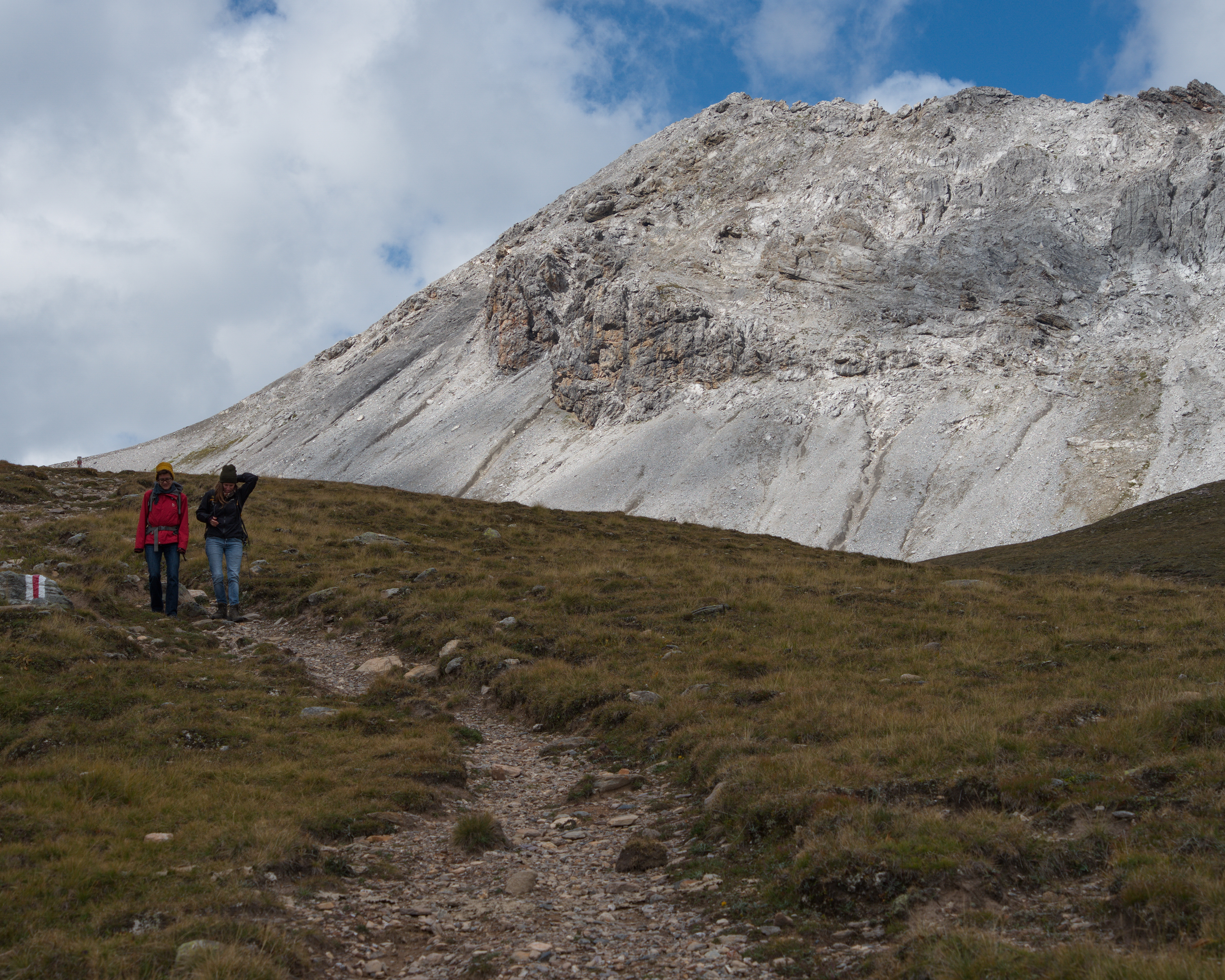
This half-day trip will be heavily rewarded with a fantastic 360° mountain panorama view on the Weisshorn peak. Nonetheless, you should not underestimate the steep ascent and descent to and from the peak. During the summer season, various huts invite you to take a break along the way.
10km700m860m3h 45mBarrier free: No
Landscape: Onto a mountain peak, With panoramic views
Tour provided by:
SwitzerlandMobility
Select an alternative stop on the map.
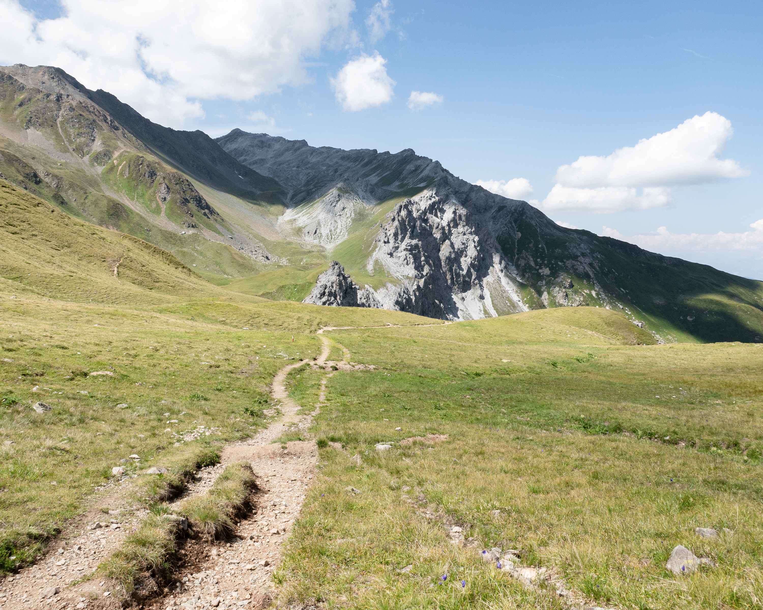
The hike through the wild Schanfigg mountain valley leads in constant ups and downs along the wooded northern slope of the Weisshorn. The deep valley that connects Chur with Arosa is a paradise for nature lovers with its sun terraces, alpine pastures and flower meadows.
12km640m660m3h 50mBarrier free: No
Landscape: With panoramic views
Tour provided by:
SwitzerlandMobility
Learn more on
schweizmobil.ch
Select an alternative stop on the map.
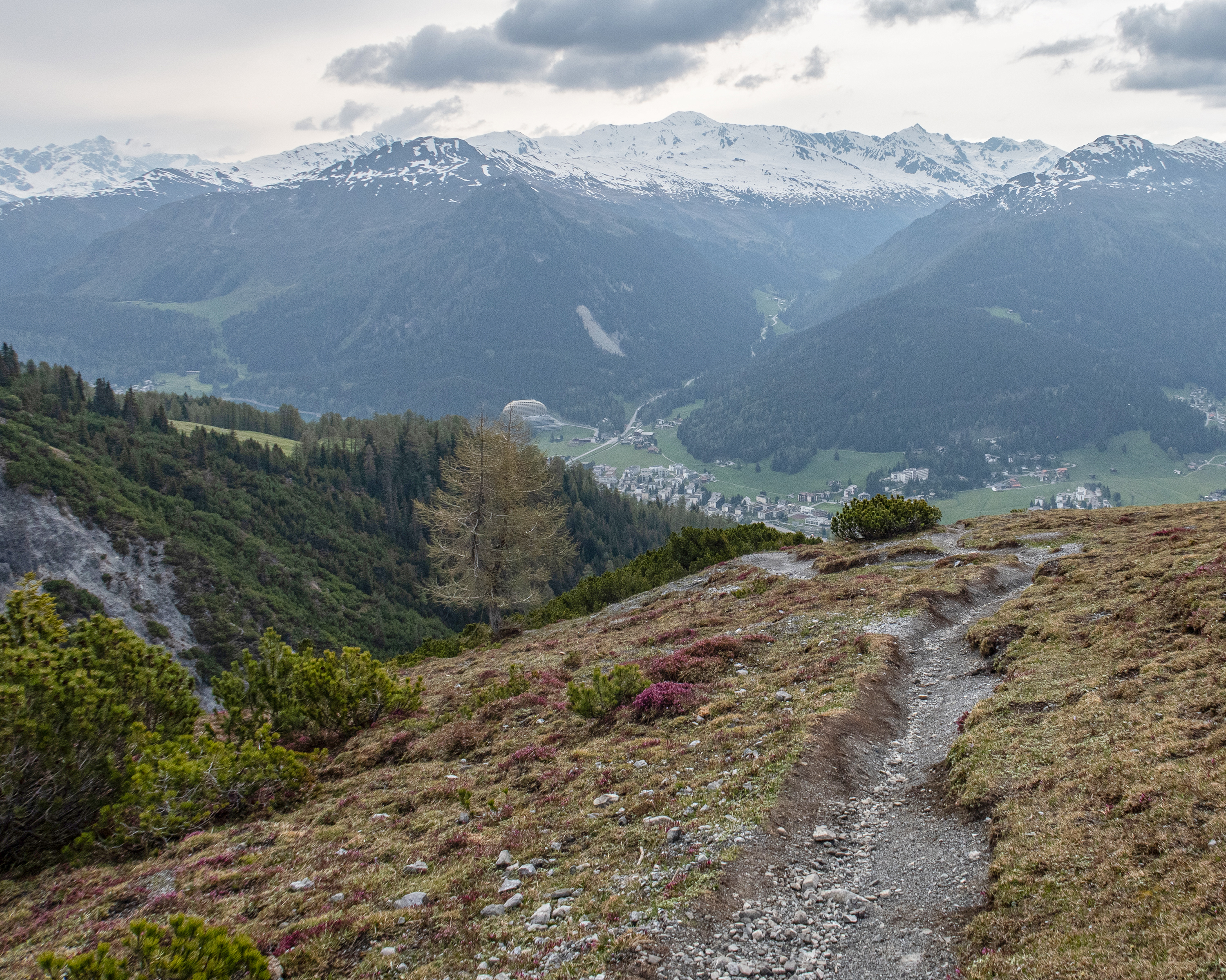
This stage starts in Davos Dorf and leads to Schatzalp first of all. From there, you continue across the historic Strela Pass, which was once settled by the Walser people. A challenging rocky descent leads down into the valley to the Walser settlement of Dörfji. The destination is the homely Grisons mountain village of Langwies.
14km840m1050m5h 0mBarrier free: No
Landscape: Onto an alp, Over a pass, With panoramic views
Tour provided by:
SwitzerlandMobility
Select an alternative stop on the map.
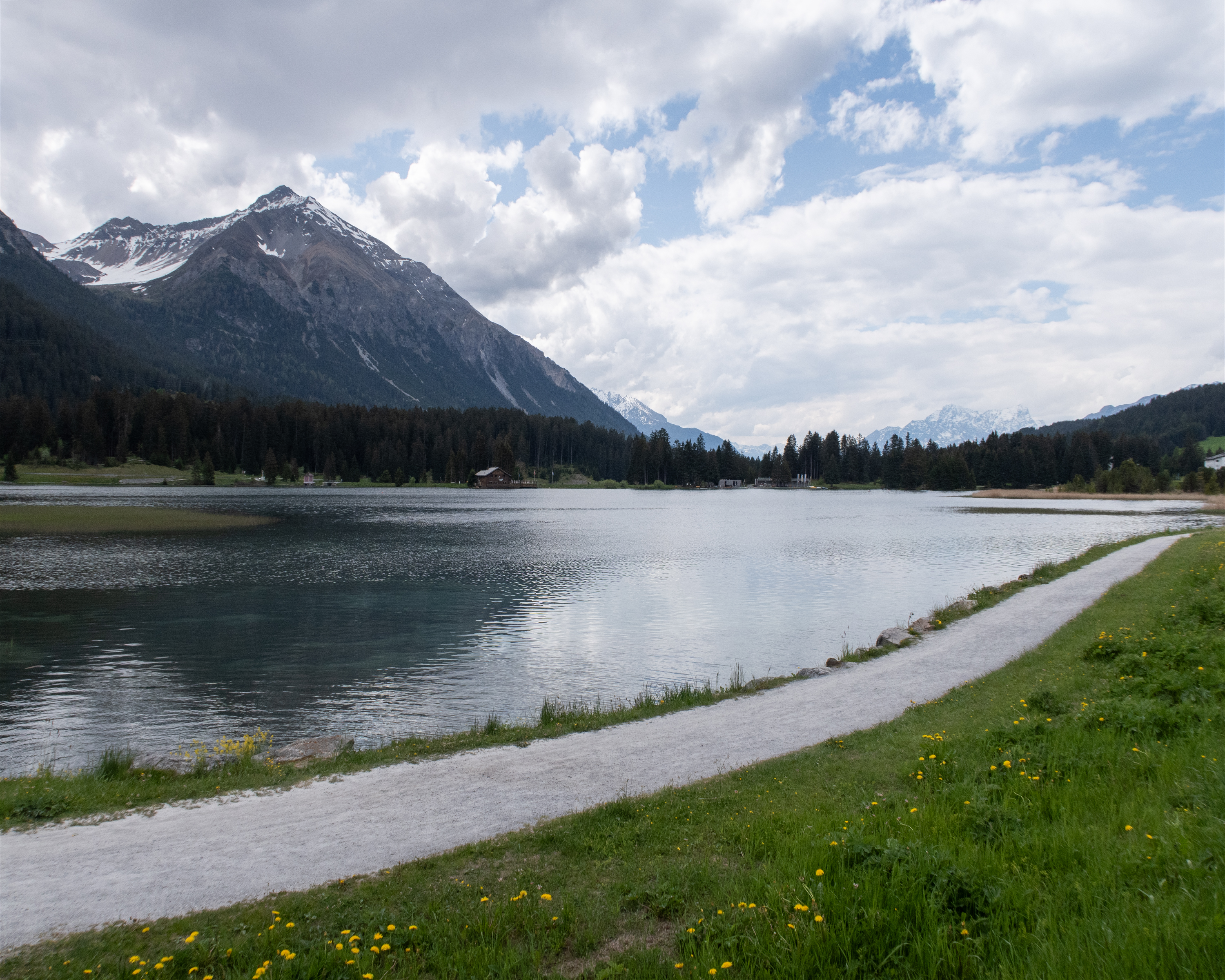
From the episcopal city of Chur up to the spa hotel Passugg with its mineral springs. Past the ruins of Strassberg Malix Castle, once a customs station on the Septimer route. Continue to the Churwalden monastery church, across the heights of the Parpaner Höhe and around the Heidsee lake to the original Maiensäss (summer pasture) village of Lenzerheide.
20km1250m360m6h 15mBarrier free: No
Tour provided by:
SwitzerlandMobility
Learn more on
schweizmobil.ch
Select an alternative stop on the map.
Learn more on
schweizmobil.ch
Learn more on
schweizmobil.ch
Learn more on
schweizmobil.ch
Learn more on
schweizmobil.ch
Learn more on
schweizmobil.ch