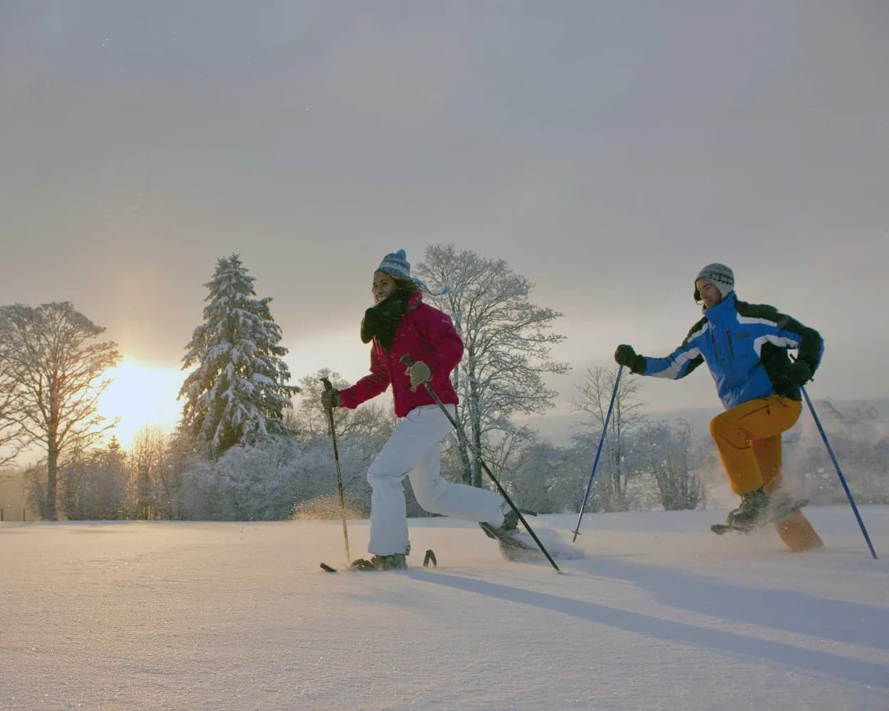
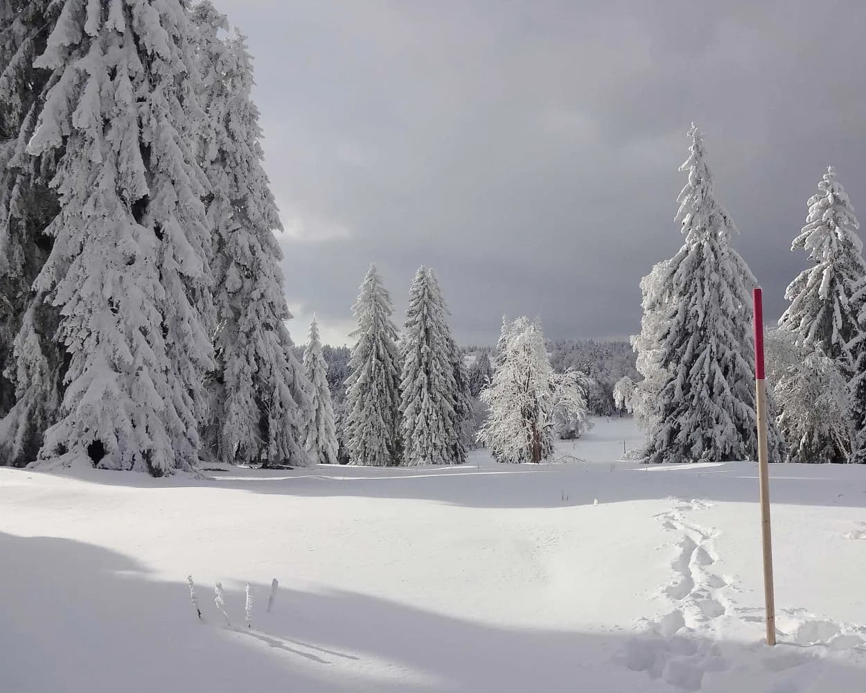
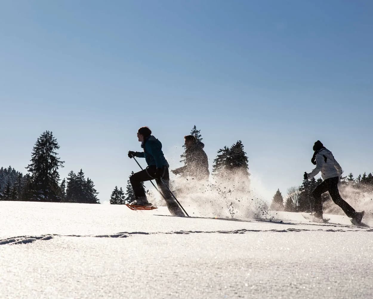
Discover a winter wonderland on these snowshoe hikes, all easily reachable from Biel/Bienne by public transport. Snow-covered forests, wide alpine plateaus, and scenic routes offer memorable experiences in the heart of the Alps.
To make planning easier, the hikes below are sorted by travel time from Biel/Bienne. Explore the map to find all snowshoe hikes and thousands of other outdoor activities accessible from anywhere in Switzerland.
Much more on ovunta.com/en/map
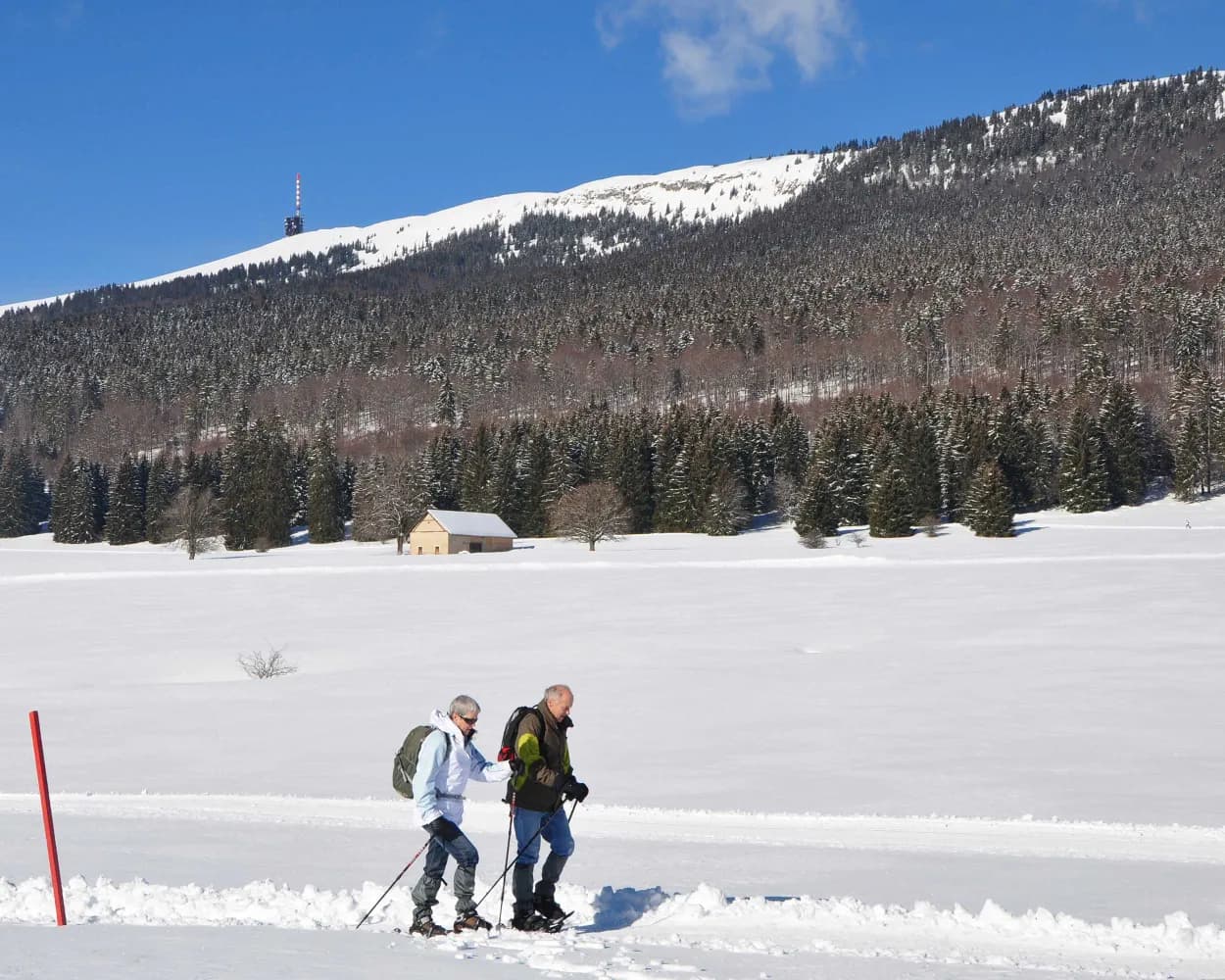
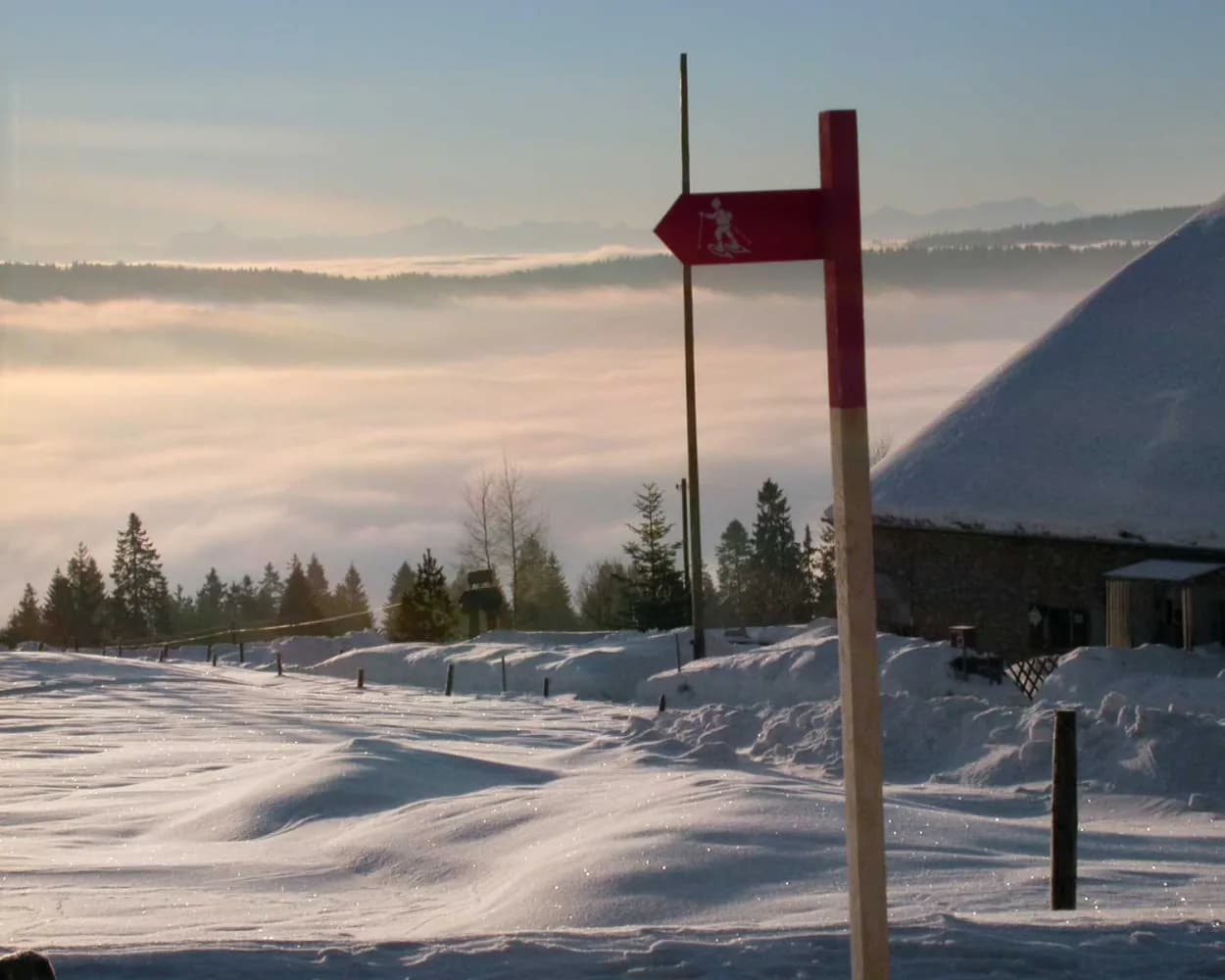
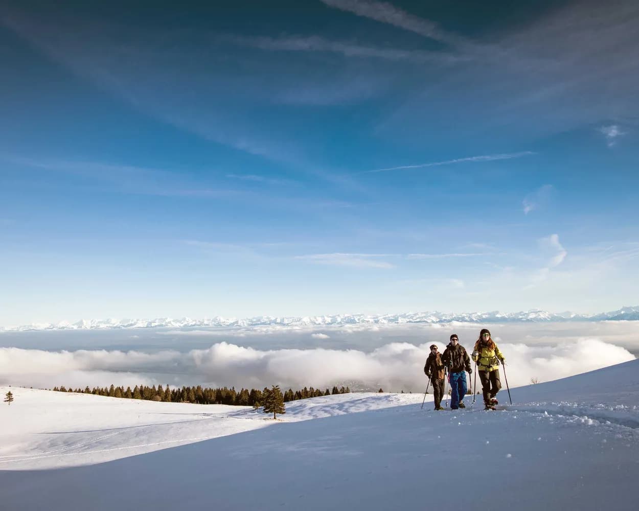
This enjoyable snowshoe hike along the Mont-Croisin and Mont-Soleil crests will take you between the wind turbines and the solar-power plant, always in sight of the impressive Chasseral massif which dominates the Saint-Imier valley.
 8km
8km 200m
200m 240m
240m 3h 10m
Tour published by:
SwitzerlandMobility
Learn more on
schweizmobil.ch
| Biel/Bienne (08:47) | |
| RE4 (25m) | |
| St-Imier (09:12) |
| St-Imier (funiculaire) (09:35) | |
| 2020 (4m) | |
| Mont-Soleil (funiculaire) (09:39) |

Much appreciated given its starting point close to the postbus stop, the route is very varied and explores typical Jura landscapes. When the weather is clear, as the name suggests, you will have a glorious view over the Alps.
7km240m240m2h 50m
Landscape: Onto a mountain peak,With panoramic views
Tour published by:
SwitzerlandMobility
Learn more on
schweizmobil.ch
| Biel/Bienne (08:47) | |
| RE4 (41m) | |
| La Chaux-de-Fonds (09:28) |
| La Chaux-de-Fonds, gare (09:40) | |
| 370 (14m) | |
| Vue-des-Alpes (09:54) |
Starting from Bellelay in the region of the famous Tête de Moine AOC cheese, this snow-shoe excursion will take you to Sur Montbautier in the uplands of the Montagne du Droit before passing through the forest of the same name on the way back to your starting point.
9km320m320m3h 50mLandscape: Onto a mountain peak,Through a Swiss Park,With panoramic views
Tour published by:
SwitzerlandMobility
Learn more on
schweizmobil.ch
| Biel/Bienne (08:47) | |
| RE4 (12m) | |
| Sonceboz-Sombeval (08:59) |
| Sonceboz-Sombeval (09:39) | |
| R42 (10m) | |
| Reconvilier (09:49) |
| Reconvilier, gare (09:51) | |
| 35 (9m) | |
| Le Fuet, Chemin de la Bottière (10:00) |
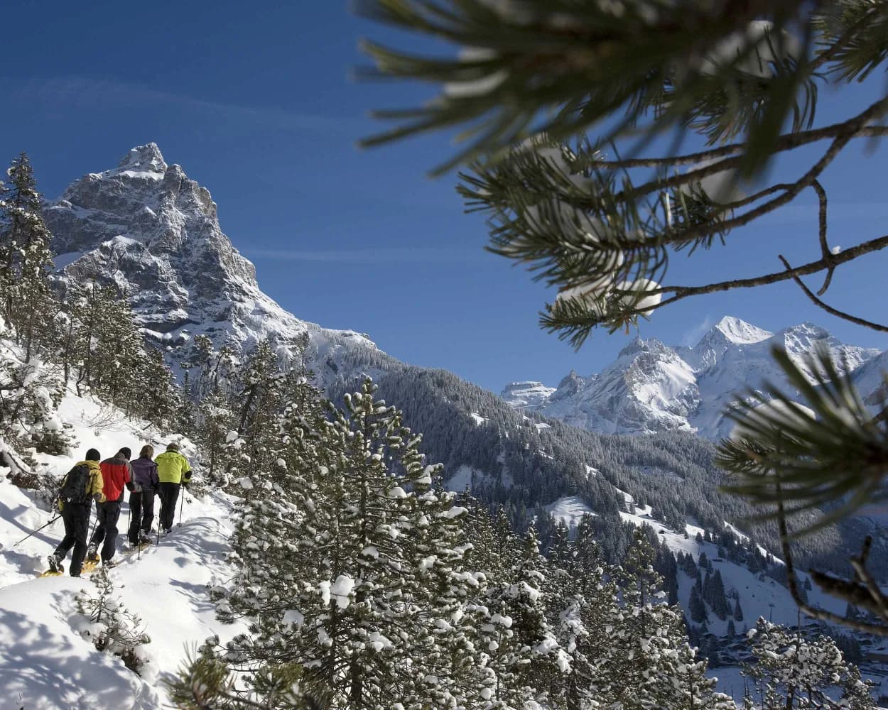
It is (hopefully) only cross-border in sporting terms: the challenging snowshoe hike from "Siberia of Switzerland" to France. From La Brévine, the route climbs over snow-covered pastures, through secluded fir forests and up to Mont Châteleu for some long-distance views.
9km380m380m4h 0mLandscape: Onto a mountain peak
Tour published by:
SwitzerlandMobility
Learn more on
schweizmobil.ch
| Biel/Bienne (08:47) | |
| RE4 (41m) | |
| La Chaux-de-Fonds (09:28) |
| La Chaux-de-Fonds (09:31) | |
| R20 (9m) | |
| Le Locle (09:40) |
| Le Locle, gare/centre ville (09:45) | |
| 381 (21m) | |
| La Brévine, poste (10:06) |
Part of the UNESCO world heritage for its town planning, the town of Locle was built around the know-how of watchmakers. The snowshoe trek from Locle to La Sagne marks the change from top-of-the range watchmaking to vast open prairies.
8km360m360m3h 40mTour published by:
SwitzerlandMobility
Learn more on
schweizmobil.ch
| Biel/Bienne (08:47) | |
| RE4 (41m) | |
| La Chaux-de-Fonds (09:28) |
| La Chaux-de-Fonds (09:31) | |
| R20 (9m) | |
| Le Locle (09:40) |
| Le Locle, gare/centre ville (10:10) | |
| 342 (4m) | |
| Le Locle, Communal (10:14) |
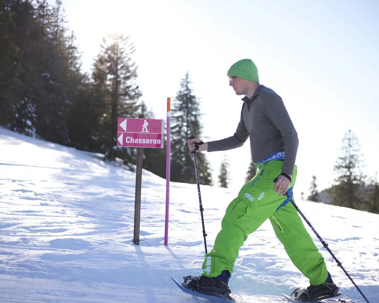
In winter, this is a wonderful route linking the Val-de-Travers and the 360° panoramic view from the summit of Le Chasseron. After an enjoyable climb through pine trees and pastures, once you reach the broad ridge you are rewarded by a breath-taking view from the Doubs to the Alps.
9km440m440m4h 0mTour published by:
SwitzerlandMobility
Learn more on
schweizmobil.ch
| Biel/Bienne (08:48) | |
| IC51 (19m) | |
| Neuchâtel (09:07) |
| Neuchâtel (09:13) | |
| R21 (42m) | |
| Buttes (09:55) |
| Buttes (télésiège) (10:05) | |
| 2008 (13m) | |
| La Robella (télésiège) (10:18) |
A magnificent path through the Franches-Montagnes between the villages of Le Noirmont and Les Bois. It’s a discovery of the region's marvellous nature. It is composed of pasturelands, pine tree forests and inviting and typically named hamlets, home to the former houses of artisan watchmakers.
9km220m160m3h 35mTour published by:
SwitzerlandMobility
Learn more on
schweizmobil.ch
| Biel/Bienne (08:47) | |
| RE4 (41m) | |
| La Chaux-de-Fonds (09:28) |
| La Chaux-de-Fonds (10:02) | |
| R36 (16m) | |
| Les Bois (10:18) |
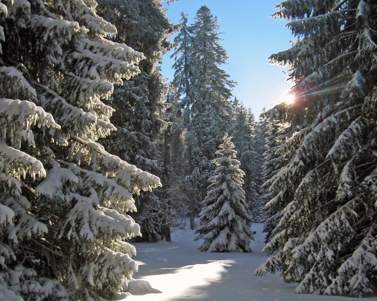
This varied snowshoe tour starts in Trub in the Emmental valley. It leads through snow-covered forests and pastures in the hilly terrain of the Napf region. The winter scenery and the far-reaching views over the Emmental hilltops make for an unforgettable experience.
8km420m420m4h 0mLandscape: Onto a mountain peak,With panoramic views
Tour published by:
SwitzerlandMobility
Learn more on
schweizmobil.ch
| Biel/Bienne (08:52) | |
| IR65 (26m) | |
| Bern (09:18) |
| Bern (09:36) | |
| RE7 (36m) | |
| Trubschachen (10:12) |
| Trubschachen, Bahnhof (10:16) | |
| 284 (7m) | |
| Trub, Ried (10:23) |
An exceptional snowshoe trail, with many points to stop and refuel, taking you to the Chasseron, one of the highest peaks in the Jura, and its unique alpine vista of more than 250km of the Alpine chain.
11km520m520m5h 0mLandscape: Onto a mountain peak,With panoramic views
Tour published by:
SwitzerlandMobility
Learn more on
schweizmobil.ch
| Biel/Bienne (08:48) | |
| IC51 (40m) | |
| Yverdon-les-Bains (09:28) |
| Yverdon-les-Bains (09:44) | |
| R12 (36m) | |
| Ste-Croix (10:20) |
| Ste-Croix, gare (10:30) | |
| 615 (5m) | |
| Les Rasses, Grand-Hôtel (10:35) |
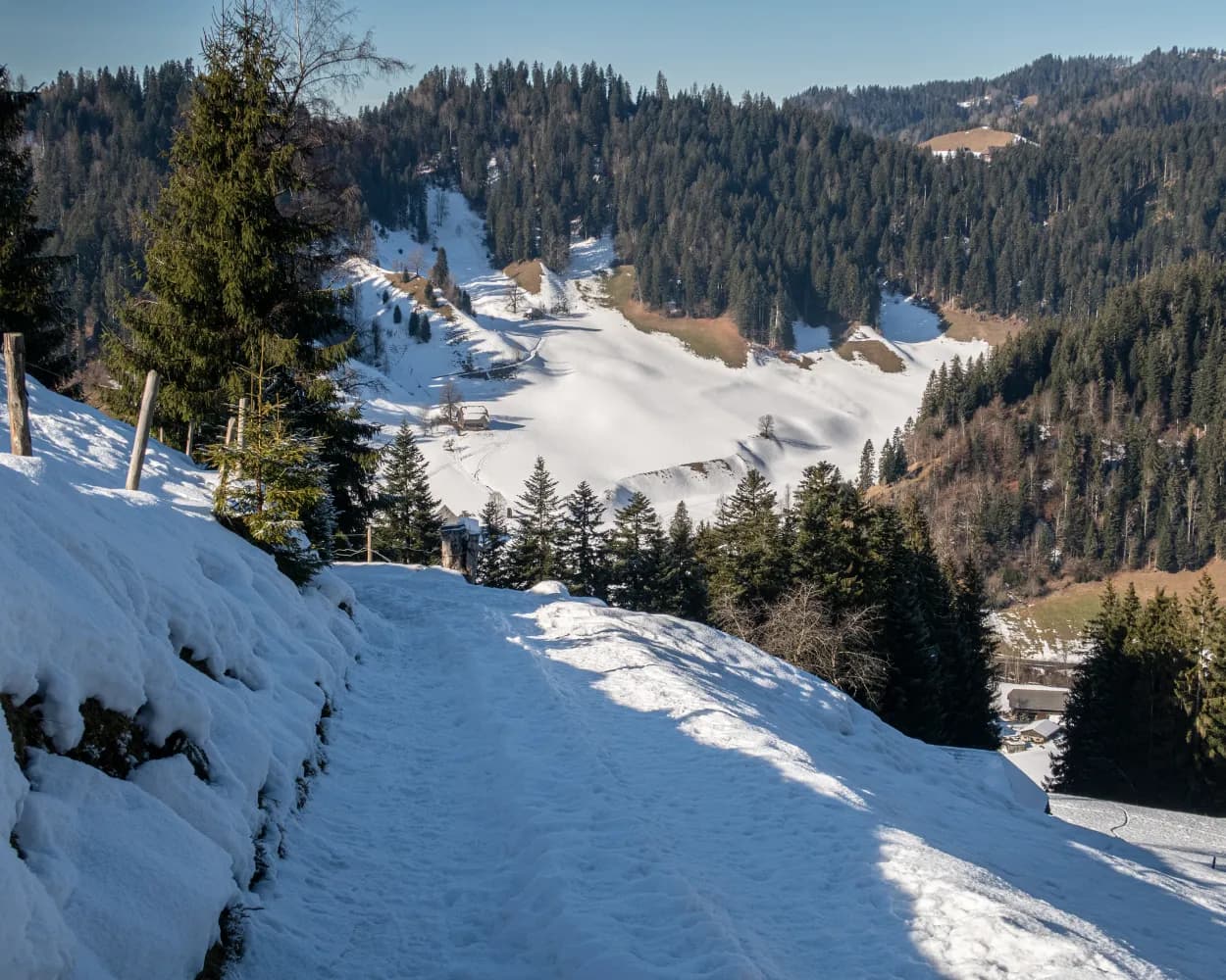
A great combination of easy but still very scenic snow shoe tour is waiting for you. After a the hike to the viewpoint on the top of «Höh», snow shoe hikers will be rewarded with the most beautiful panorama of Kandersteg and the mountain range of the UNESCO World heritage site.
2km160m160m1h 15mTour published by:
SwitzerlandMobility
Learn more on
schweizmobil.ch
| Biel/Bienne (08:52) | |
| IR65 (26m) | |
| Bern (09:18) |
| Bern (09:34) | |
| IC6 (29m) | |
| Spiez (10:03) |
| Spiez (10:12) | |
| RE1 (28m) | |
| Kandersteg (10:40) |