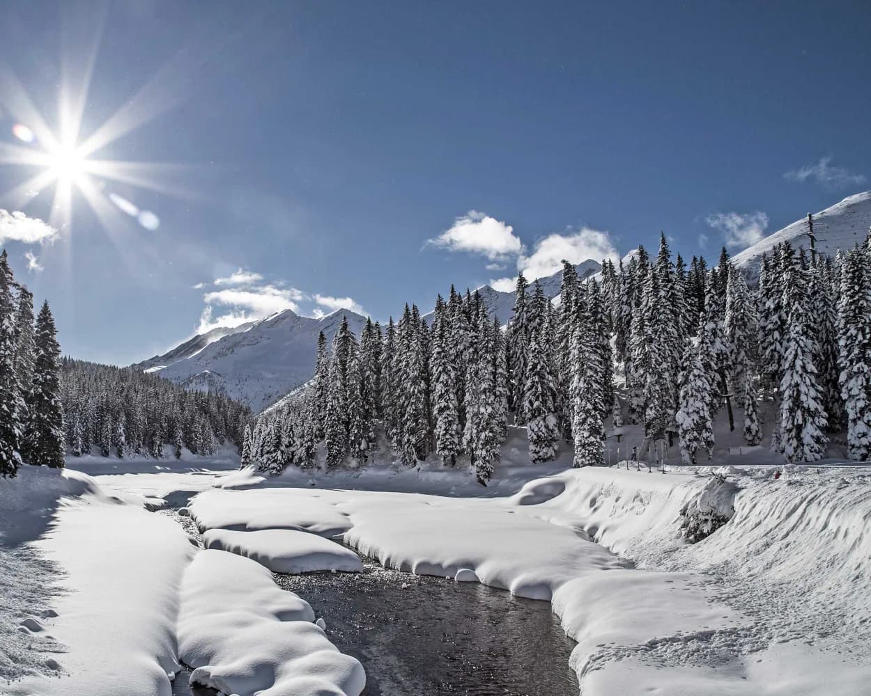
Discover a winter wonderland on these snowshoe hikes, all easily reachable from Bellinzona by public transport. Snow-covered forests, wide alpine plateaus, and scenic routes offer memorable experiences in the heart of the Alps.
To make planning easier, the hikes below are sorted by travel time from Bellinzona. Explore the map to find all snowshoe hikes and thousands of other outdoor activities accessible from anywhere in Switzerland.
Much more on ovunta.com/en/map
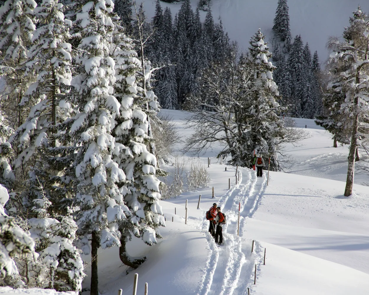
The Haldi trail on the sunny alpine terrace above Schattdorf rewards snowshoers with fantastic views of the Urner valley floor. And that’s not all: it is said to have a healing effect.
 7 km
7 km 420 m
420 m 420 m
420 m 3h 40m
Landscape: With panoramic views,Onto an alp
Tour published by:
SwitzerlandMobility
Learn more on
schweizmobil.ch
| IC2 (33m) | |
| 412 (11m) | |
| PB (5m) | |
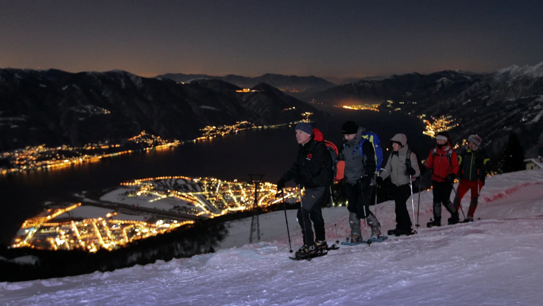
Mild temperatures in winter, a breath-taking view year-round: those are just some of the highlights of a snowshoe hike in the Cardada Cimetta. From the local peak of Locarno, one can see both the lowest-lying area of Switzerland, Lake Maggiore, as well as the country’s highest mountain, Monte Rosa.
5 km380 m380 m2h 55mLandscape: With panoramic views,Along the water,Onto a mountain peak
Tour published by:
SwitzerlandMobility
Learn more on
schweizmobil.ch
| S20 (26m) | |
| 2620 (6m) | |
| 2621 (6m) | |
One of the prettiest routes in the Leventina. Surrounded by larch forest, it leads through the enchanting Boscobello and into the Val Piumogna, which is crossed by the river of the same name.
8 km300 m300 m3h 20mLandscape: With panoramic views,Onto an alp,Along the water
Tour published by:
SwitzerlandMobility
Learn more on
schweizmobil.ch
| IR46 (20m) | |
| 120 (31m) | |
| 117 (10m) | |
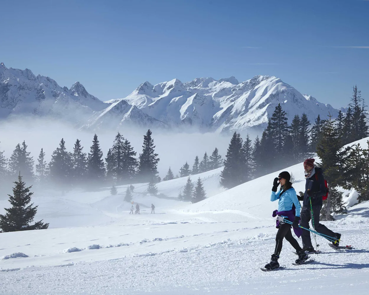
Constantly sun-drenched, Carì is the ideal starting point for wonderful rides with snowshoes. In winter, this tiny village in the Leventina valley, situated at an altitude of 1,655 m above sea level, lights up and comes to life.
7 km460 m460 m3h 45mTour published by:
SwitzerlandMobility
Learn more on
schweizmobil.ch
| S10 (39m) | |
| 119 (30m) | |
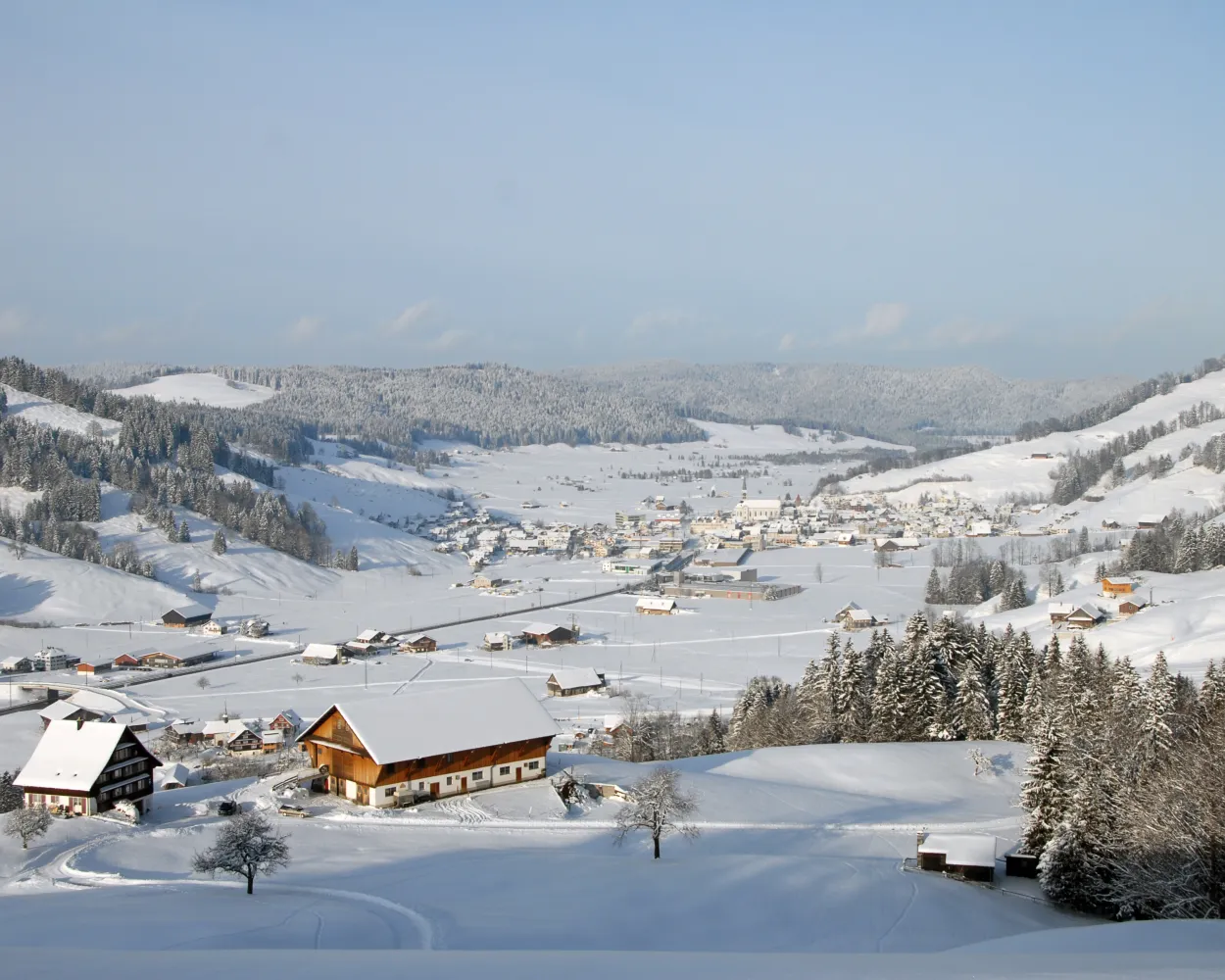
Bridges and views are the stars of this snowshoe trail. Along the way, hikers can take off their snowshoes and enjoy a special experience: the foot suspension bridge in Sattel-Hochstuckli.
10 km640 m640 m5h 20mLandscape: Over a suspension bridge,With panoramic views
Tour published by:
SwitzerlandMobility
Learn more on
schweizmobil.ch
| IC2 (55m) | |
| S31 (14m) | |
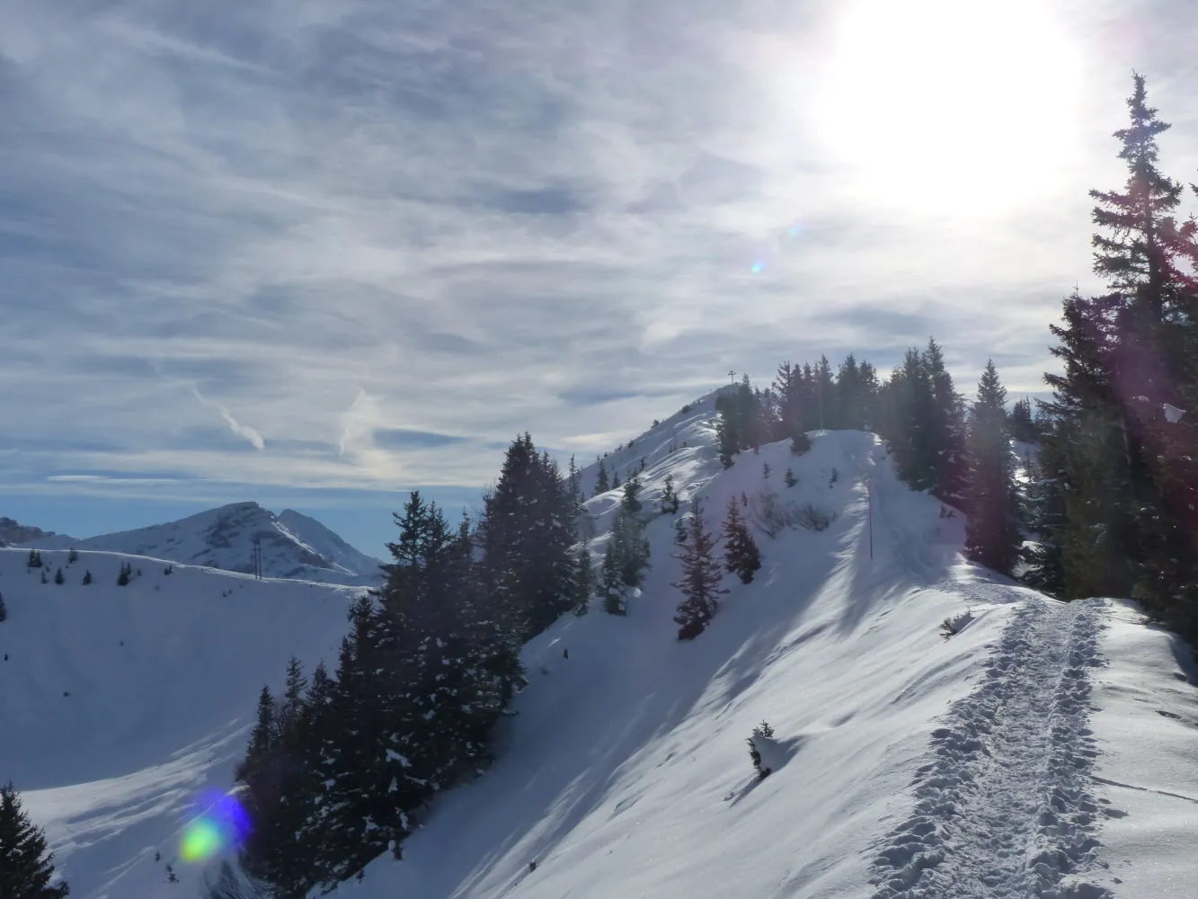
From Eggbergen, an alpine terrace below Rophaien and Schön Chulm, snowshoers can trek through delightful scenery towards Hüenderegg.The reward awaiting them there is a tremendous view of the Urner mountain scenery.
5 km480 m200 m3h 0mLandscape: With panoramic views,Onto a mountain peak
Tour published by:
SwitzerlandMobility
Learn more on
schweizmobil.ch
| IC2 (33m) | |
| 412 (3m) | |
| 413 (3m) | |
| PB (9m) | |
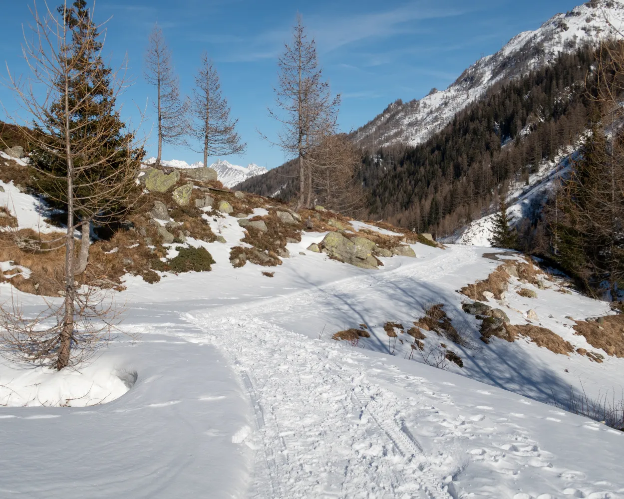
This educational nature path winds its way through age-old larch woods, exploring the wonderfully unspoilt Bedretto Valley, an enchanting area that is perfect for snowshoe excursions and ski mountaineering. What’s more, when in Cioss Prato: don’t miss out on a visit to the mineral cave.
4 km180 m180 m1h 45mTour published by:
SwitzerlandMobility
Learn more on
schweizmobil.ch
| IR26 (58m) | |
| 112 (17m) | |
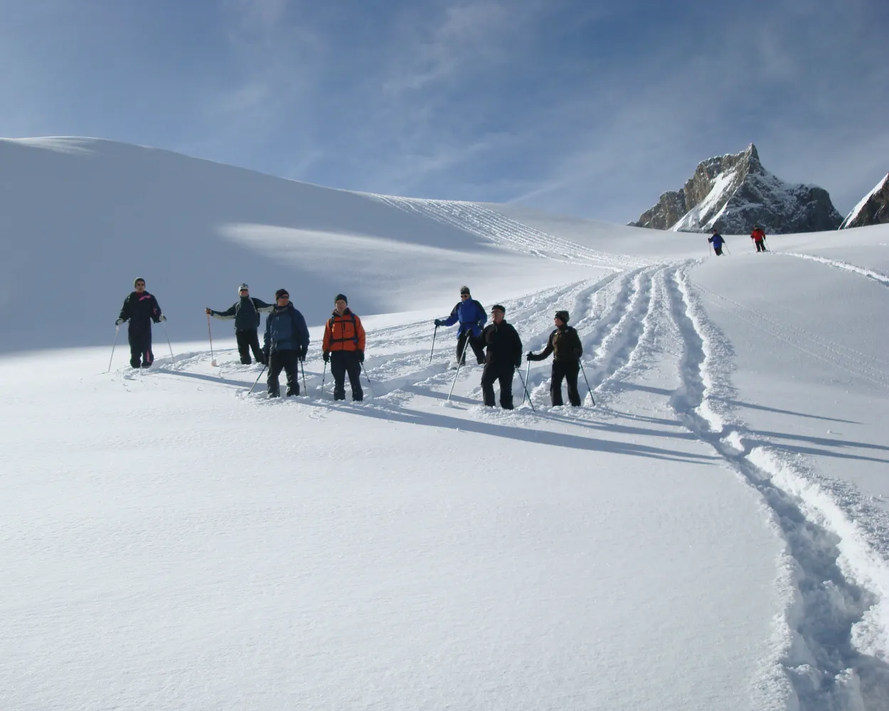
Snowshoeing through nature's hushed stillness, under firs laden with fresh snow, in Brüsti near the Chulm mountains. The icing on the cake: a beautiful view stretching far down the Urner Reuss valley.
4 km300 m300 m2h 25mTour published by:
SwitzerlandMobility
Learn more on
schweizmobil.ch
| IC2 (33m) | |
| 402 (7m) | |
| PB (15m) | |
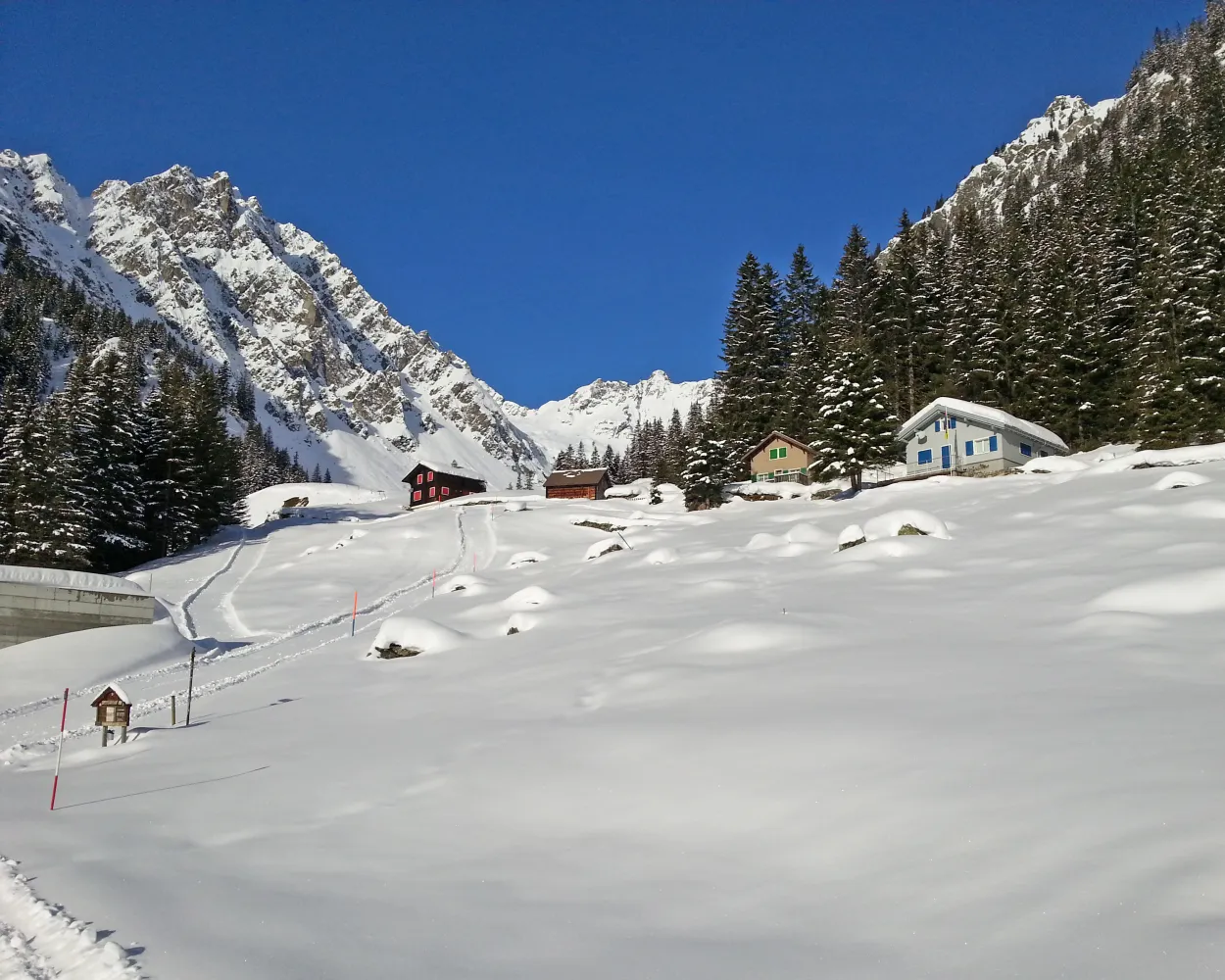
The trail from the idyllic Lake Arni to Vorderarni affords views of the Reuss Valley and across the mountains. This trail takes you over easy terrain with gentle ups and downs.
7 km380 m380 m3h 20mTour published by:
SwitzerlandMobility
Learn more on
schweizmobil.ch
| IC2 (33m) | |
| 412 (3m) | |
| 401 (24m) | |
| PB (6m) | |
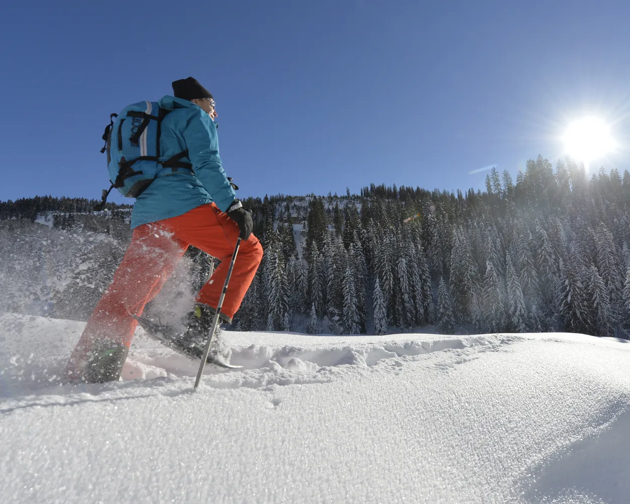
This circular route is especially popular with beginners and snowshoe hiking enthusiasts. Discover the sunny side of Muotathal in the southern part of the village and, if you like, make a detour to a spiritual site.
4 km220 m220 m1h 55mTour published by:
SwitzerlandMobility
Learn more on
schweizmobil.ch
| EC (54m) | |
| 501 (42m) | |



