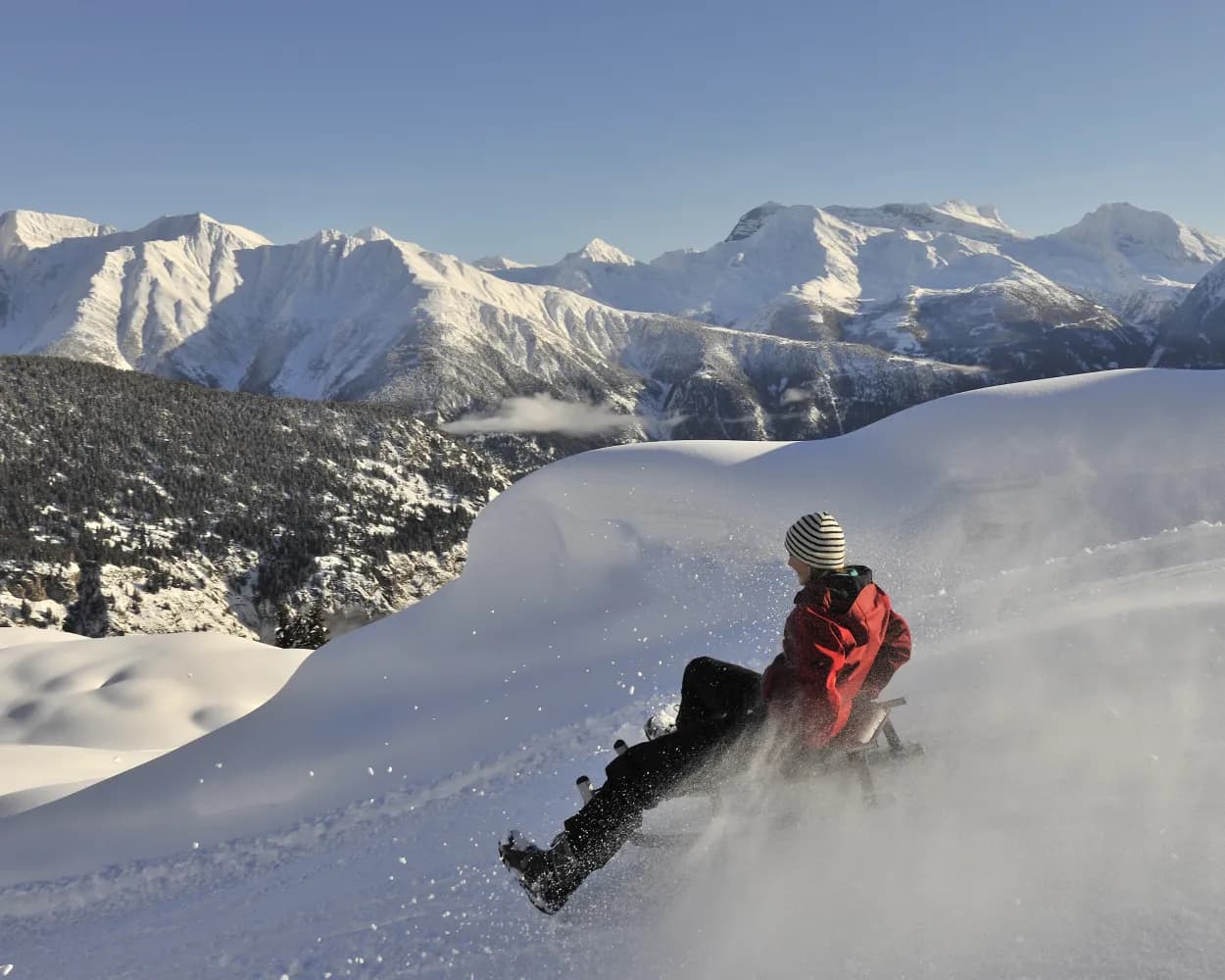
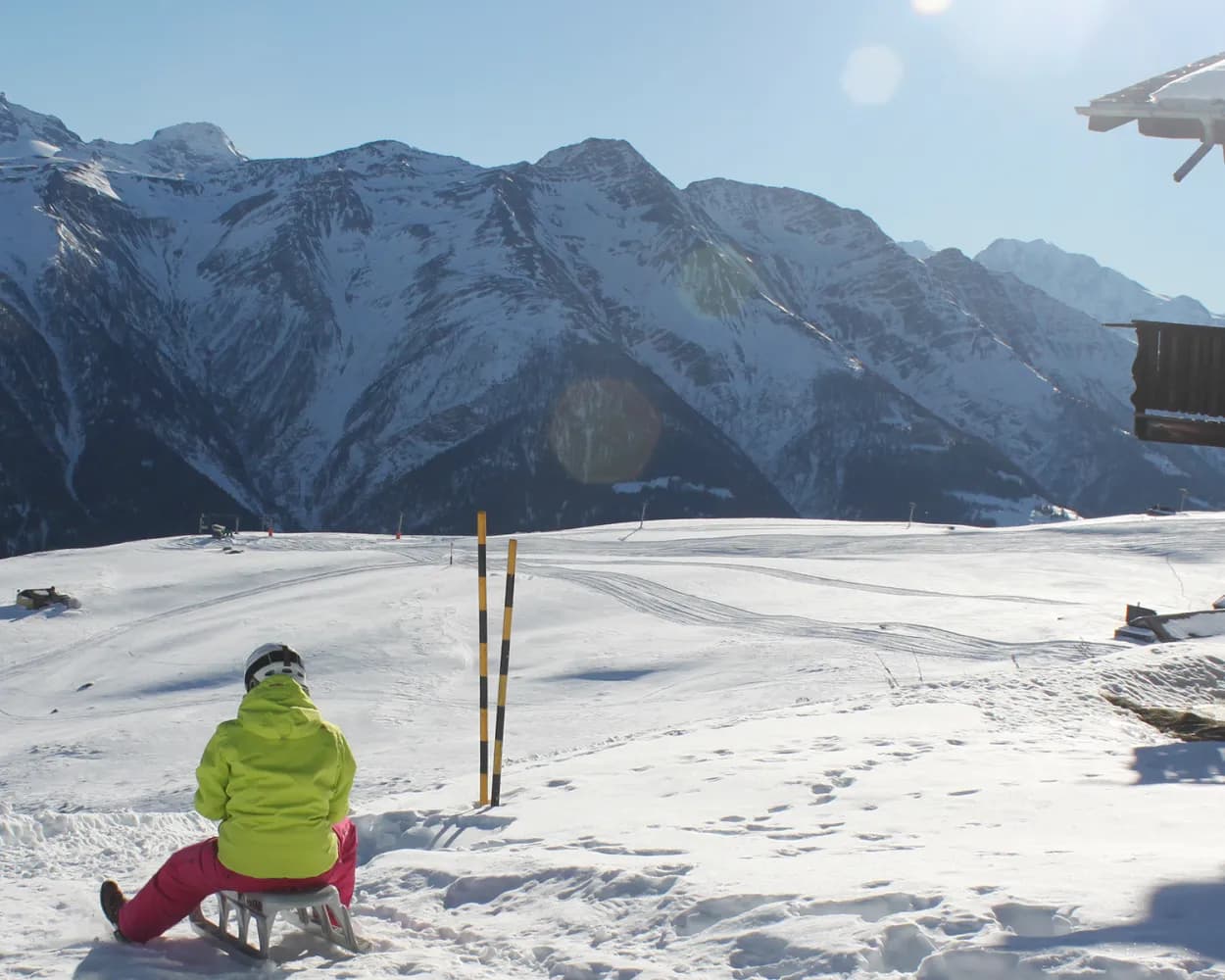
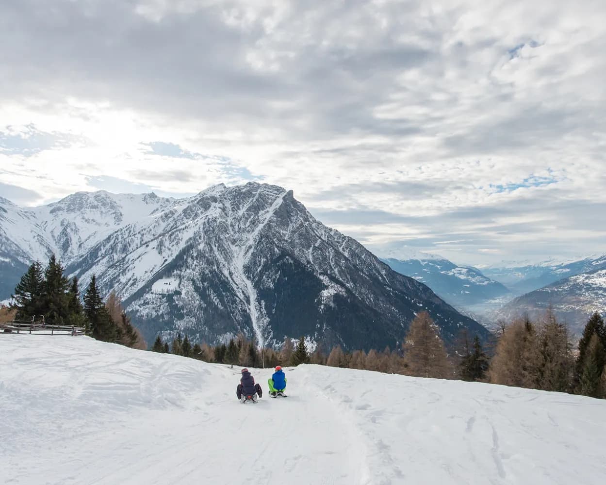
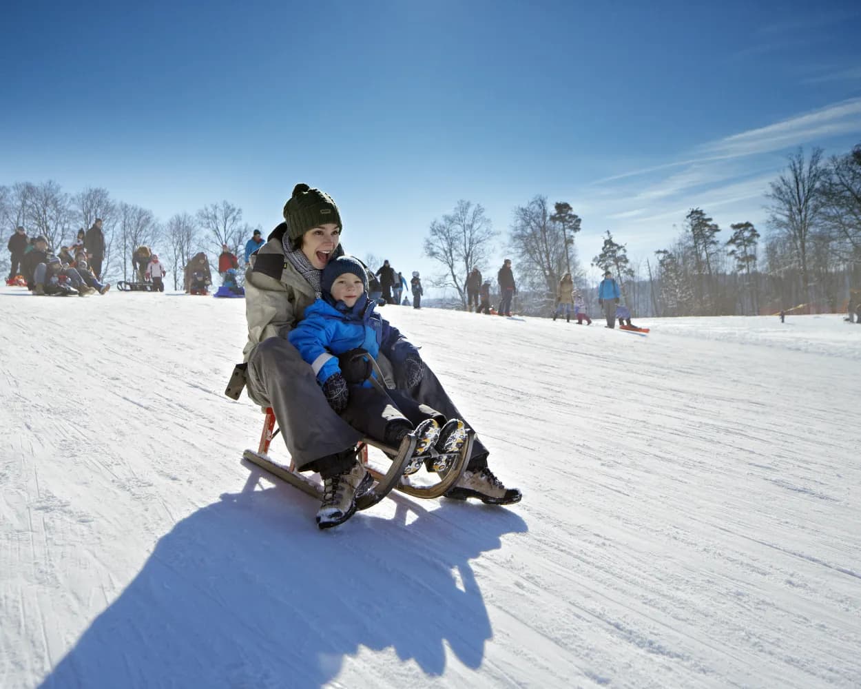
Relaxed or fast-paced: these sledging runs are all reachable from Sion by public transport. From family-friendly slopes to longer panoramic descents in the Alps, there’s something for every level of sledger.
The destinations below are sorted by travel time from Sion to make planning easier. Be sure to check the map to explore all sledging runs and thousands of other outdoor activities reachable from any starting point in Switzerland.
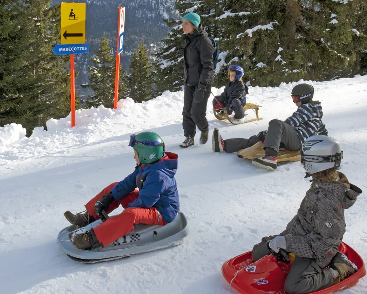
Treat yourself to a breath of fresh air and a long ride on this 5km sledge run that connects the panoramic restaurant of La Creusaz and the village of Les Marécottes. This gentle path criss-crosses the forest.
 5 km
5 km 660 m
660 mTour published by:
SwitzerlandMobility
Learn more on
schweizmobil.ch
| Sion (08:39) | |
| IR95 (14m) | |
| Martigny (08:53) |
| Martigny (09:14) | |
| MBX (19m) | |
| Les Marécottes (09:33) |

Dashing through the snow-covered Bois du Bilioley forest on a sledge and enjoying the view of the Dents du Midi, the Mont Blanc massif, lake Geneva and the Rhone plain - that's what the Col de Soud-Villars sledge run is all about. The exciting route leads along the Col de Soud mountain range and ends in the village of Villars-sur-Ollon.
2 km170 mTour published by:
SwitzerlandMobility
Learn more on
schweizmobil.ch
| Sion (08:39) | |
| IR95 (32m) | |
| Aigle (09:11) |
| Aigle, gare (09:25) | |
| 144 (33m) | |
| Villars-sur-Ollon, gare (09:58) |
| Villars-sur-Ollon (10:00) | |
| R74 (2m) | |
| Roches Grises (10:02) |
The sledge run from Kreuzboden down to Saas-Grund leads through small villages and past Alpine huts and makes for roughly half an hour of safe, snowy fun for the whole family. The longest sledge run in Saastal offers an amazing view across the mountain landscape of the Mischabel Massif.
10 km860 mTour published by:
SwitzerlandMobility
Learn more on
schweizmobil.ch
| Sion (08:41) | |
| R91 (34m) | |
| Visp (09:15) |
| Visp, Bahnhof Süd (09:44) | |
| 511 (31m) | |
| Bidermatten (10:15) |
Start from Lauchernalp for a magical descent to Wiler, passing from nature to traditional village life.
6 km580 mTour published by:
SwitzerlandMobility
Learn more on
schweizmobil.ch
| Sion (08:41) | |
| R91 (25m) | |
| Gampel-Steg (09:06) |
| Gampel-Steg, Bahnhof (09:41) | |
| 591 (32m) | |
| Wiler (Lötschen), Talstation (10:13) |
Discover Val d'Anniviers on the sledge: Depart from Bendolla, then slide down the Avoin pasture before arriving back in Grimentz – a beautiful descent of 5 km.
5 km540 mTour published by:
SwitzerlandMobility
Learn more on
schweizmobil.ch
| Sion (08:41) | |
| R91 (11m) | |
| Sierre/Siders (08:52) |
| Sierre/Siders, gare routière (09:15) | |
| 451 (33m) | |
| Vissoie, poste (09:48) |
| Vissoie, poste (09:50) | |
| 452 (22m) | |
| Grimentz, télécabine (10:12) |
Enjoy some snowy fun in an authentically charming setting by taking on the seven-kilometre sledge run between Blatten and Belalp. It crosses the village and follows a forest path with long curves.
7 km780 mTour published by:
SwitzerlandMobility
Learn more on
schweizmobil.ch
| Sion (08:41) | |
| R91 (44m) | |
| Brig (09:25) |
| Brig, Bahnhof (09:48) | |
| 624 (22m) | |
| Blatten b. Naters,Luftseilbahn (10:10) |
A great sledging adventure, between the magical snowy forests and the breathtaking mountains: 11 kilometres of pure fun overlooking the Matterhorn.
11 km1150 mTour published by:
SwitzerlandMobility
Learn more on
schweizmobil.ch
| Sion (08:41) | |
| R91 (34m) | |
| Visp (09:15) |
| Visp (09:21) | |
| R42 (56m) | |
| Lax (10:17) |
This toboggan run on the slopes of the Col de la Croix zigzags down through fields and forests to Les Diablerets, with stunning views of the mountains of the same name. One of the longest toboggan runs in Switzerland.
7 km560 mTour published by:
SwitzerlandMobility
Learn more on
schweizmobil.ch
| Sion (08:39) | |
| IR95 (32m) | |
| Aigle (09:11) |
| Aigle (09:29) | |
| R71 (48m) | |
| Les Bovets (10:17) |
From the sunny terrace of Rosswald down to the cable car valley station in Ried-Brig – first through a number of fast stretches, then on a more leisurely pace. Along the way you’ll pass through wintry conifer forests coated in snow and the Rosswald alpine pasture.
7 km760 mTour published by:
SwitzerlandMobility
Learn more on
schweizmobil.ch
| Sion (08:41) | |
| R91 (44m) | |
| Brig (09:25) |
| Brig, Bahnhof (10:20) | |
| 632 (25m) | |
| Ried-Brig, Talstation LRR (10:45) |
The route is closed for winter 2023/24. No need to look too far away – the Gurten has plenty to delight tobogganing fans. The descent down Bern’s local mountain is particularly appealing when the city disappears under a blanket of fog. Make sure you enjoy the view of the Eiger, Mönch, and Jungfrau from the observation tower before you start.
1 km120 mTour published by:
SwitzerlandMobility
Learn more on
schweizmobil.ch
| Sion (08:41) | |
| R91 (34m) | |
| Visp (09:15) |
| Visp (09:27) | |
| EC (58m) | |
| Bern (10:25) |
| Bern (10:32) | |
| S3 (9m) | |
| Wabern bei Bern (10:41) |
| Wabern (Gurtenbahn) (10:45) | |
| 2351 (2m) | |
| Grünenboden (10:47) |
Much more on ovunta.com/en/map