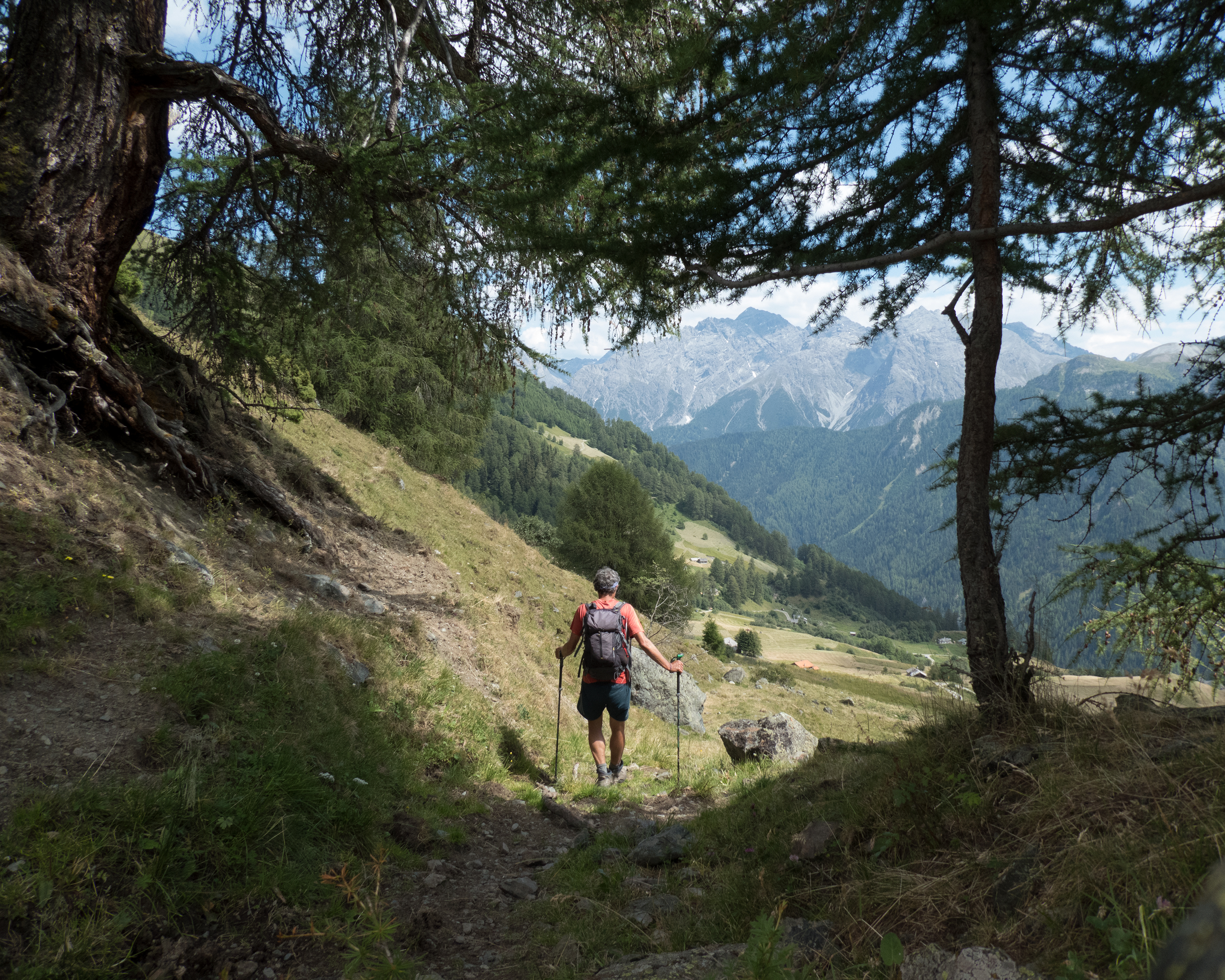
Discover a world of alpine wonders accessible by public transport from Klosters. From historic Walser settlements to panoramic ridge walks, these routes offer diverse experiences for hikers of all levels. Traverse lush valleys, conquer mountain passes, and immerse yourself in the natural beauty of the Swiss Alps, with options ranging from gentle walks to challenging treks.
The following hikes and trails are arranged by travel time from Klosters, making it easy to plan your next mountain adventure. Check out the map to explore thousands of destinations and activities, reachable from any starting point in Switzerland.
Much more on ovunta.com/map
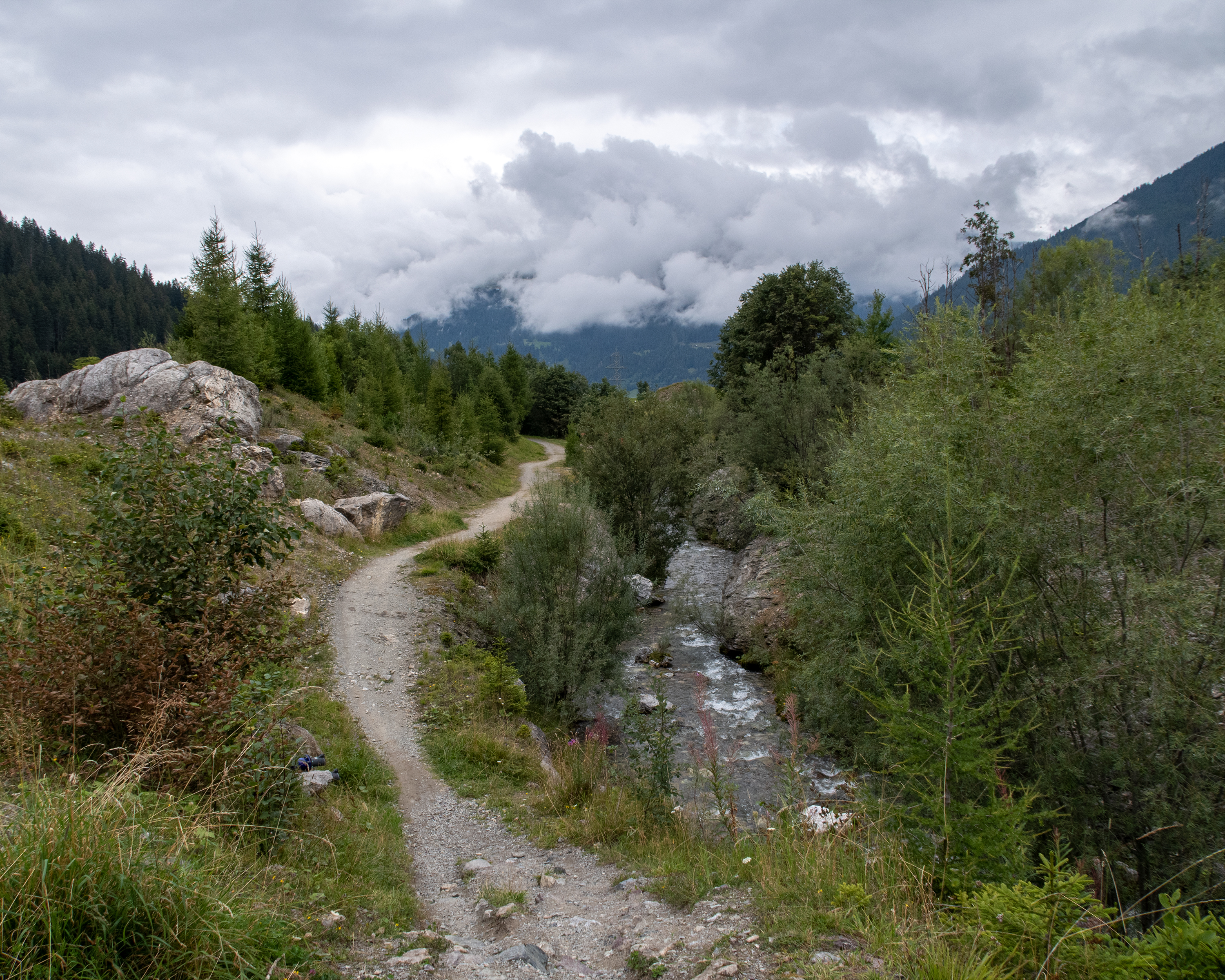
Route between former Walser settlements and today’s famous tourist destinations of Klosters and Davos, over the Wolfgang Pass. Visit to Kirchner Art Museum in Davos.
 18km
18km 700m
700m 800m
800m 5h 25m
Barrier free: No

Landscape: Onto an alp, Over a pass, With panoramic views
Tour provided by:
SwitzerlandMobility
Learn more on
schweizmobil.ch
Select an alternative stop on the map.
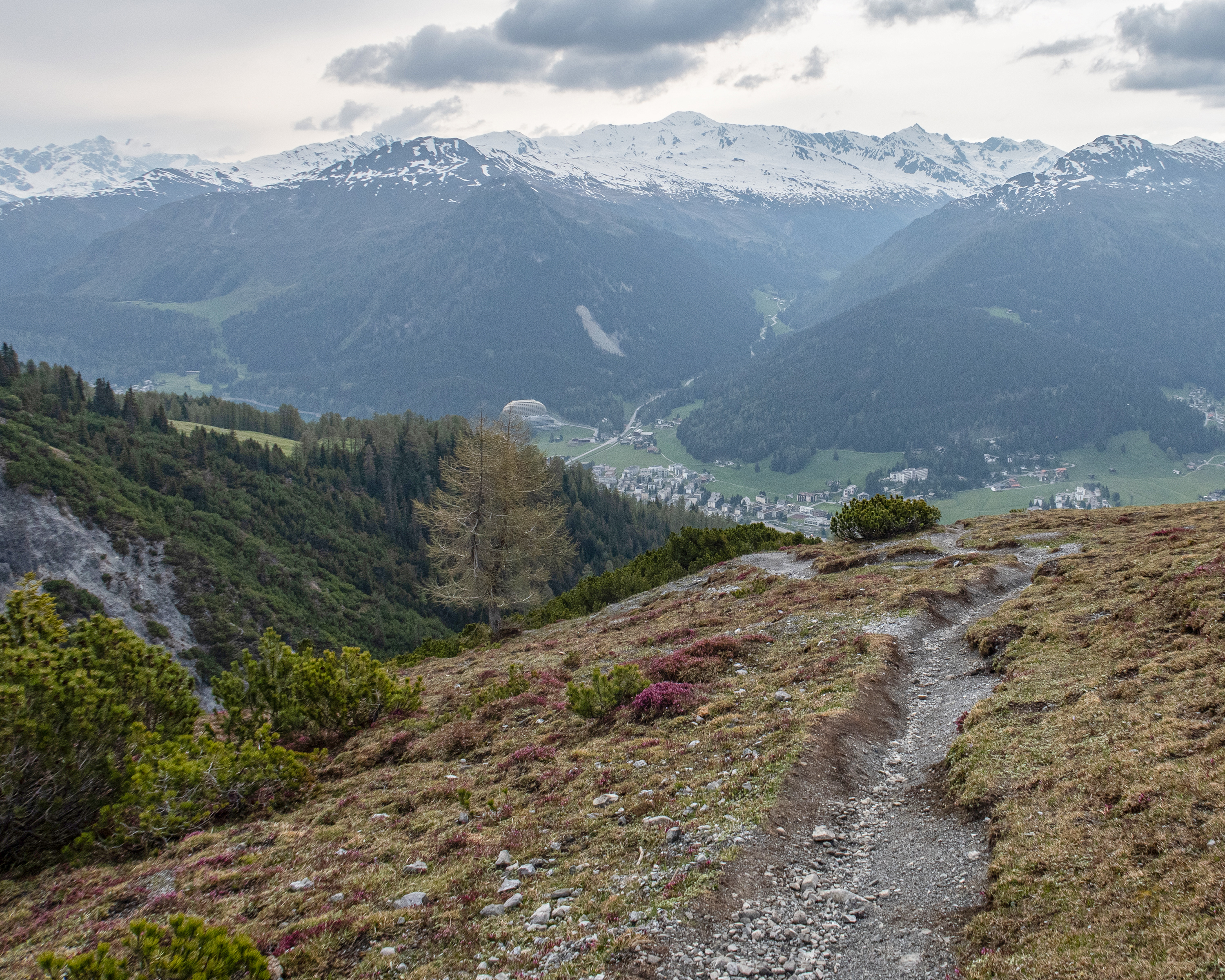
This stage starts in Davos Dorf and leads to Schatzalp first of all. From there, you continue across the historic Strela Pass, which was once settled by the Walser people. A challenging rocky descent leads down into the valley to the Walser settlement of Dörfji. The destination is the homely Grisons mountain village of Langwies.
14km840m1050m5h 0mBarrier free: No
Landscape: Onto an alp, Over a pass, With panoramic views
Tour provided by:
SwitzerlandMobility
Select an alternative stop on the map.
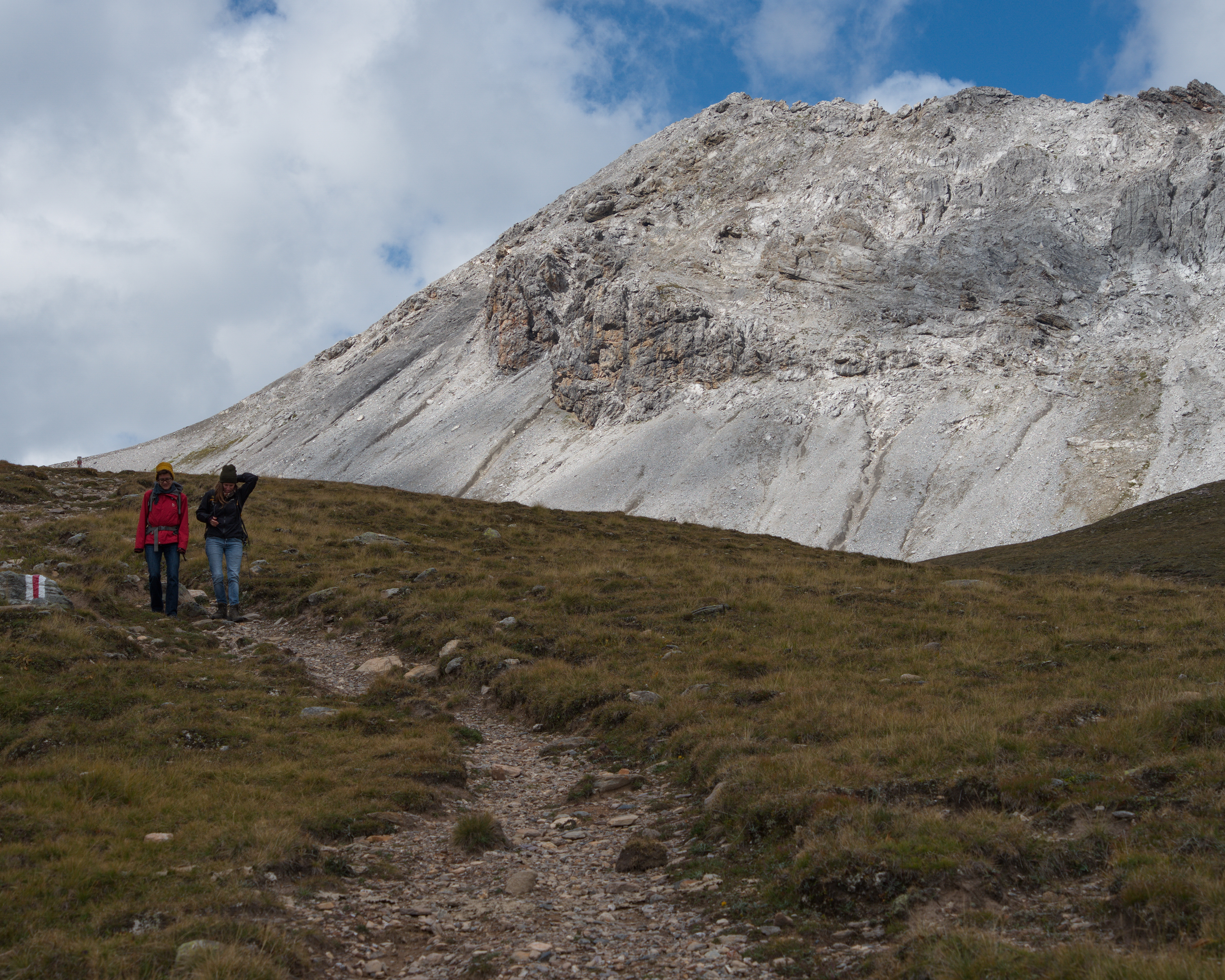
Through the wild valleys north of Lavin and Guarda, and above the tree line on narrow paths along the steep hillside. Past rhododendron bushes and across stony hillsides. You have a magnificent view of the surrounding 3,000 m peaks. The hike ends in the ruggedly attractive town of Guarda.
13km1100m860m5h 0mBarrier free: No
Tour provided by:
SwitzerlandMobility
Learn more on
schweizmobil.ch
Select an alternative stop on the map.
Uphill through stone pine, larch and dwarf shrub on the Tällifurgga. Views of the early Walser farmstead-settlement of Clavadel. Rocks, water and Alpine vegetation in Rüedischtälli. Fences of natural stone on the alp of the same name. Walser scattered settlement in the Dischmatal valley.
16km820m1150m5h 30mBarrier free: No
Landscape: Onto an alp, With panoramic views
Tour provided by:
SwitzerlandMobility
Select an alternative stop on the map.
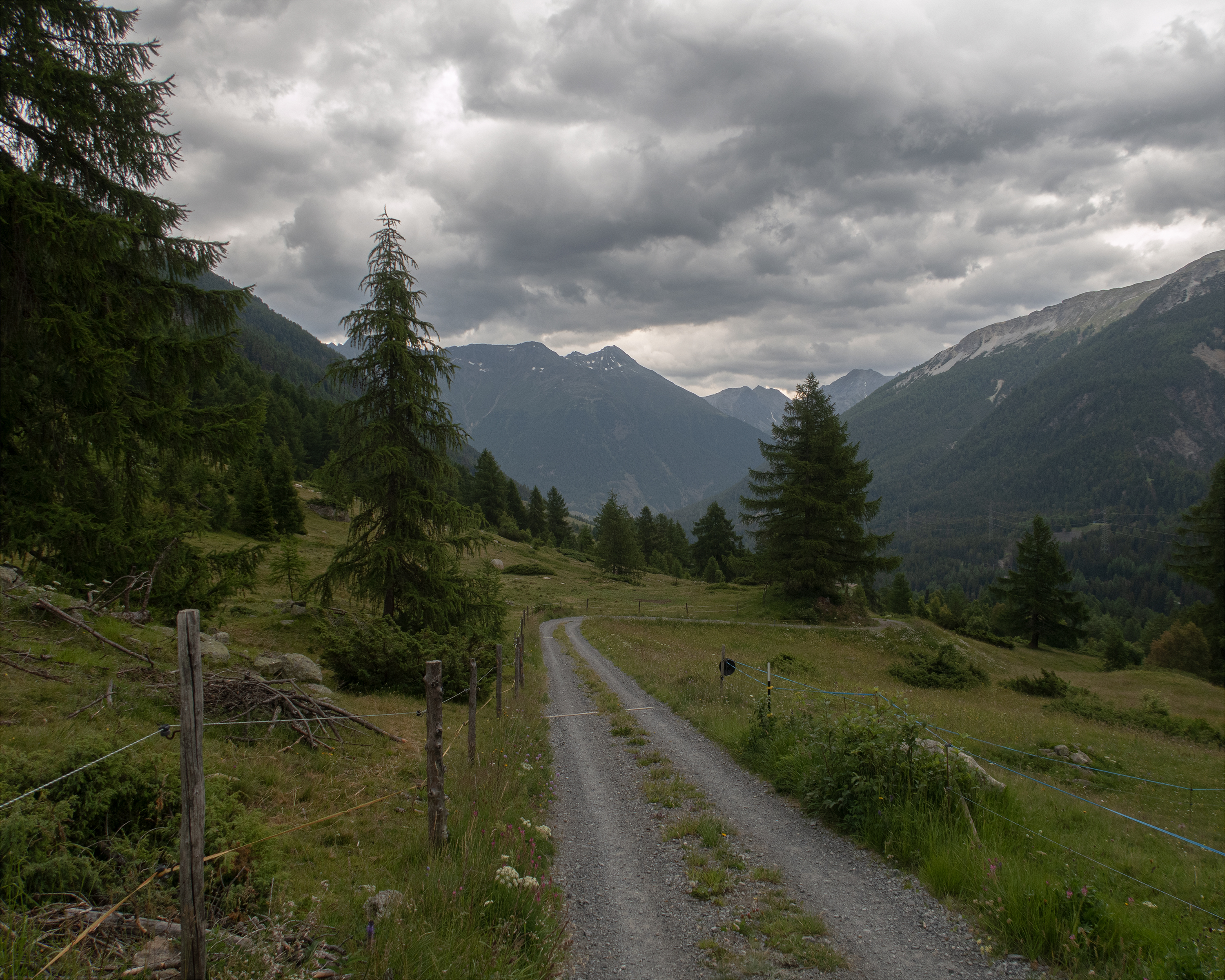
Once upon a time, Davos was a vast expanse of woodland. Then in around 1280 AD, twelve Walser farmsteads joined two Rhaeto-Romanic farmsteads, forming what is now the popular resort of Alpenstadt. The picturesque Stafelalp was the favoured retreat of the German painter Ernst Ludwig Kirchner. This route to Arosa keeps off the beaten track and boasts a magnificent mountain panorama.
16km1200m1000m6h 0mBarrier free: No
Landscape: Onto an alp, Over a pass, With panoramic views
Tour provided by:
SwitzerlandMobility
Select an alternative stop on the map.

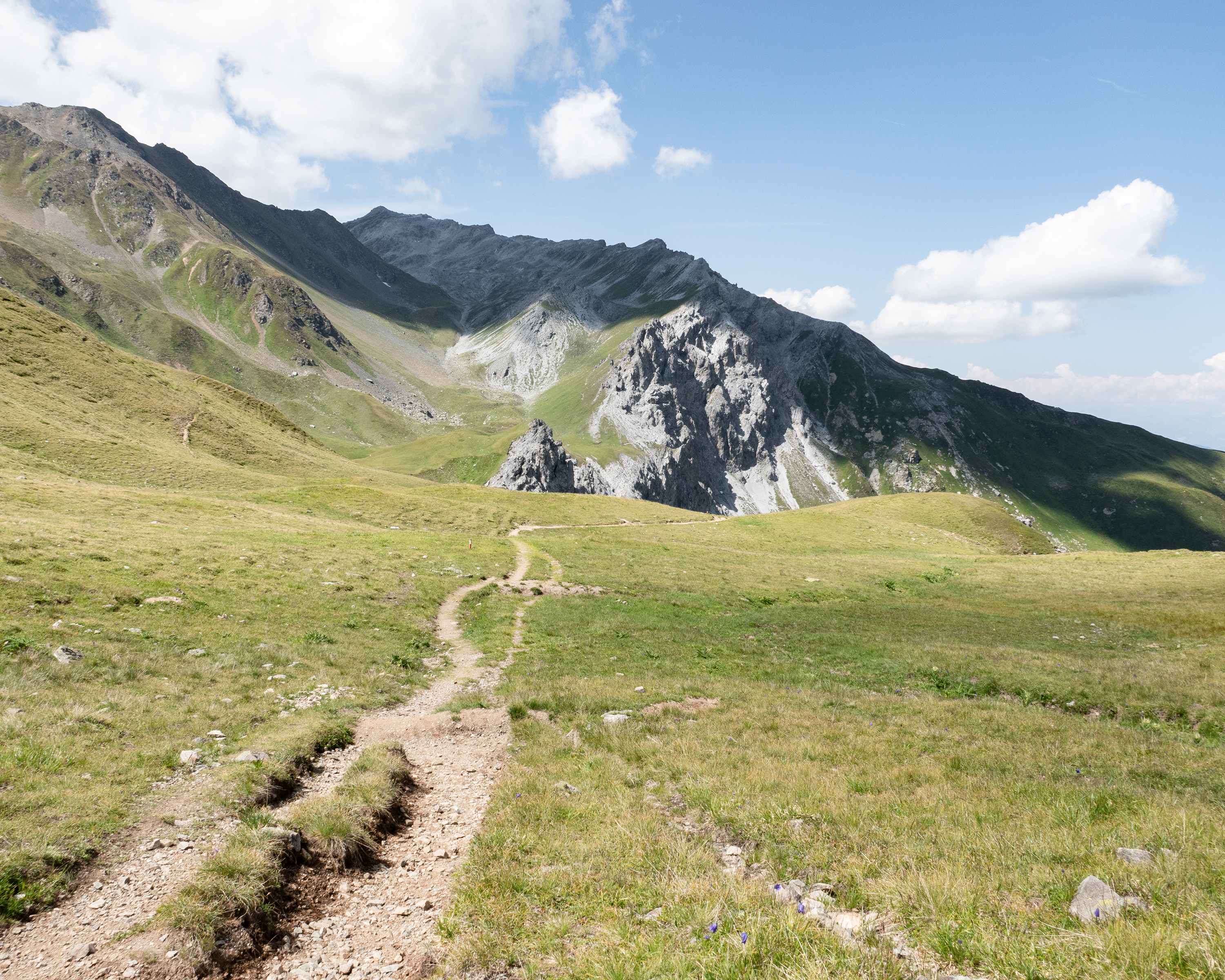
Through beautiful stone pine forests and across wild scree gullies in rugged Val Cluozza on the way to Piz Murtaröl. The views from the ridge of Piz Terza in the east and the crevasses and peaks of the National Park in the south are incredible, and abundant wildlife can be spotted on the steep slopes.
14km900m1350m5h 25mBarrier free: No
Landscape: Through a Swiss Park, Onto a mountain peak, With panoramic views
Tour provided by:
SwitzerlandMobility
Select an alternative stop on the map.
You cross over the border from the Lower Engadine to the Upper Engadine in the wild Val Punt Ota. Narrow paths run along the slope through coniferous forests and across wide pastures. The view sweeps across the valley and the mountain peaks of the national park. Solid stone walls, round arches and ornate facades catch the eye in Zuoz.
19km660m900m5h 25mBarrier free: No
Tour provided by:
SwitzerlandMobility
Learn more on
schweizmobil.ch
Select an alternative stop on the map.
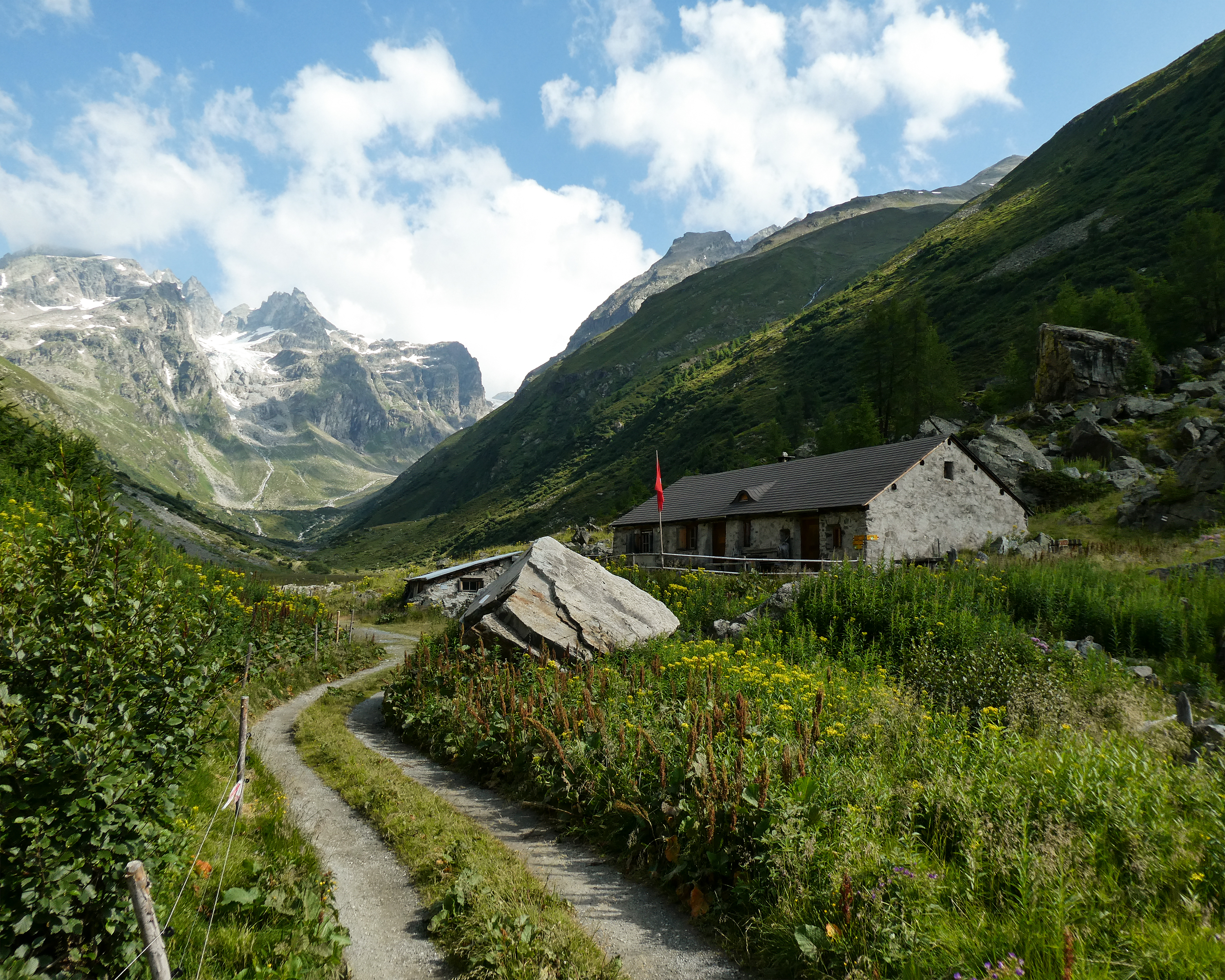
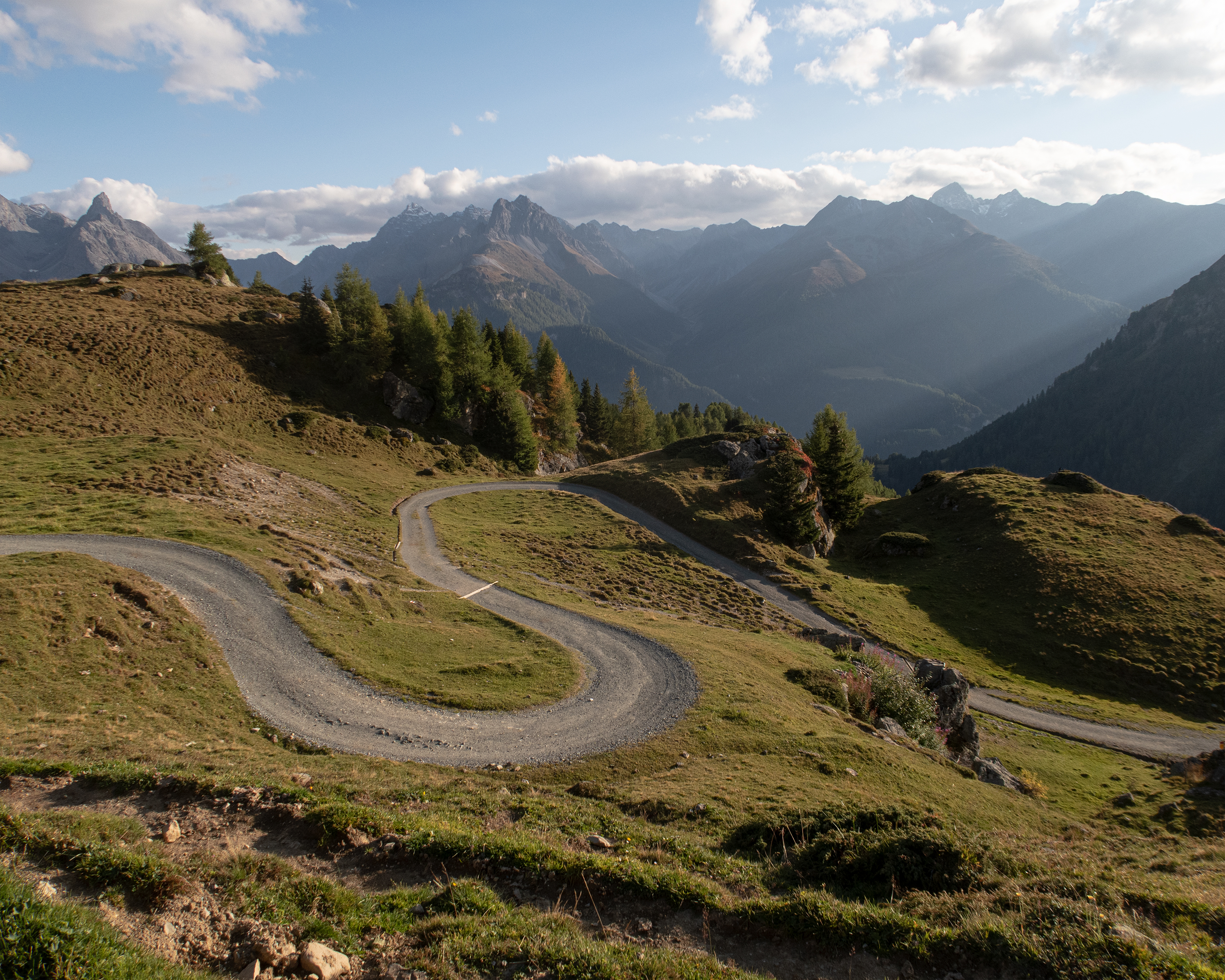
The first stop along this route is Alp Medergen, a former Walser Alp with a mountain tavern. After that, the path narrows to a mountain trail with the “Tritt” as a main landmark. At the end of this leg, you can enjoy views of Davos far below.
20km1000m1200m6h 20mBarrier free: No
Tour provided by:
SwitzerlandMobility
Learn more on
schweizmobil.ch
Select an alternative stop on the map.
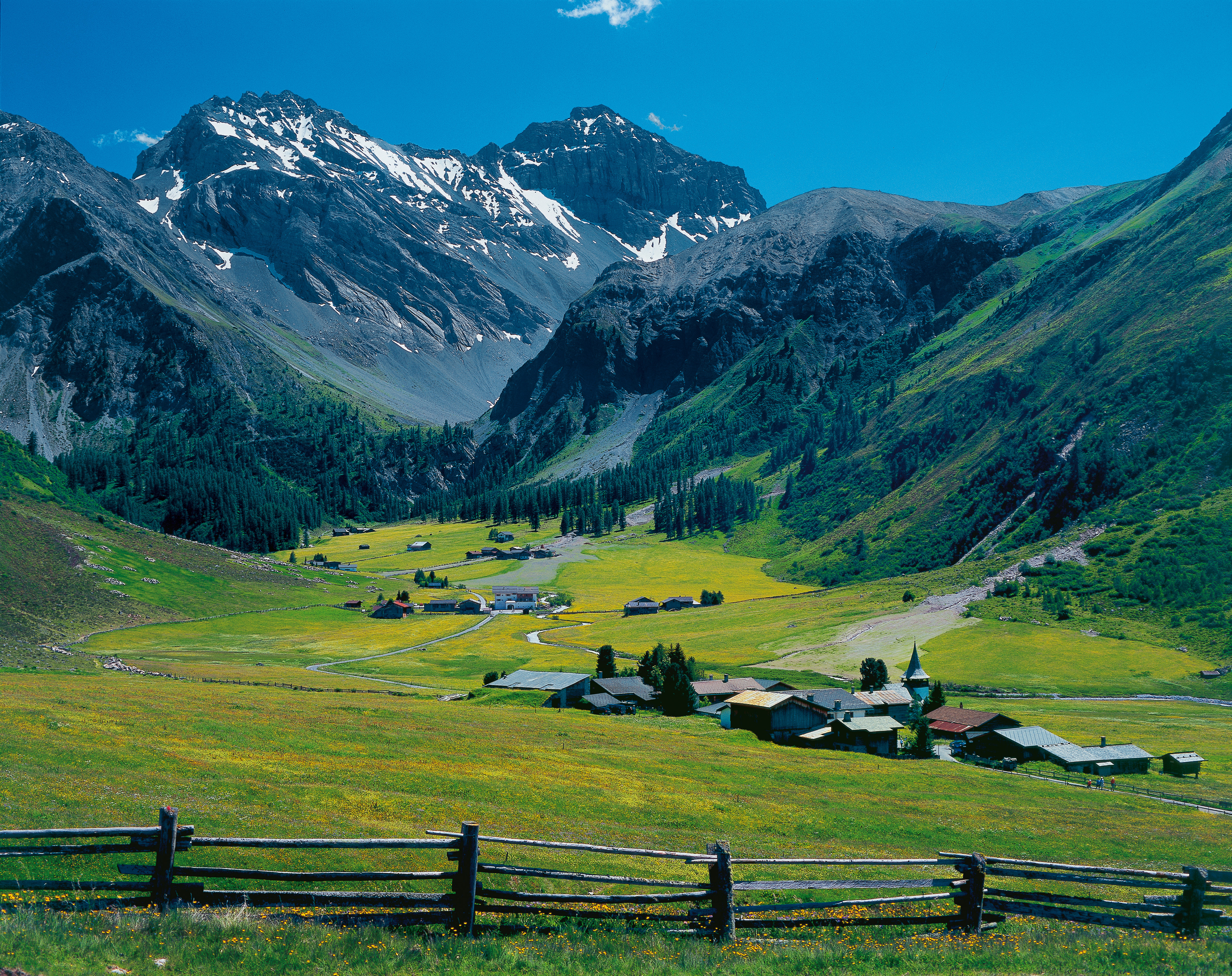
The route starts in the cobbled streets of Ardez between attractively decorated Engadine houses. You then go uphill into Val Tasna and up to Alp Laret at an altitude of 2,205 metres. Rare alpine flowers thrive on steep rocky hillsides, and the view extends far across the Lower Engadine with its huge mountain ranges.
14km1050m420m4h 45mBarrier free: No
Tour provided by:
SwitzerlandMobility
Learn more on
schweizmobil.ch
Select an alternative stop on the map.
Following the Clozza, the path takes you deep into the rocky Val Tuoi, climbs above the tree line and leads out of the valley again. The view soon opens up across the Lower Engadine with its mighty mountain ranges. Attractive alpine pastures, gnarled trees and the wonderfully decorated Engadine villages make the hike very appealing.
14km720m950m4h 35mBarrier free: No
Tour provided by:
SwitzerlandMobility
Learn more on
schweizmobil.ch
Select an alternative stop on the map.
Learn more on
schweizmobil.ch
Learn more on
schweizmobil.ch
Learn more on
schweizmobil.ch
Learn more on
schweizmobil.ch