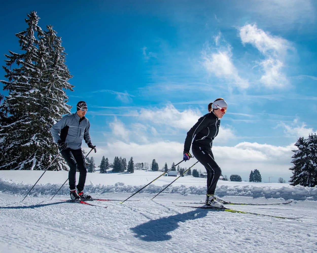
Whether skating or classic: these ten cross-country skiing destinations are all reachable from Yverdon-les-Bains by public transport. From romantic forest tracks to scenic high-altitude loops, there’s something for every level of Nordic skier.
The destinations below are sorted by travel time from Yverdon-les-Bains to make your planning easier. Make sure to visit the map to explore all cross-country skiing areas and thousands of other outdoor activities reachable from any starting point in Switzerland.
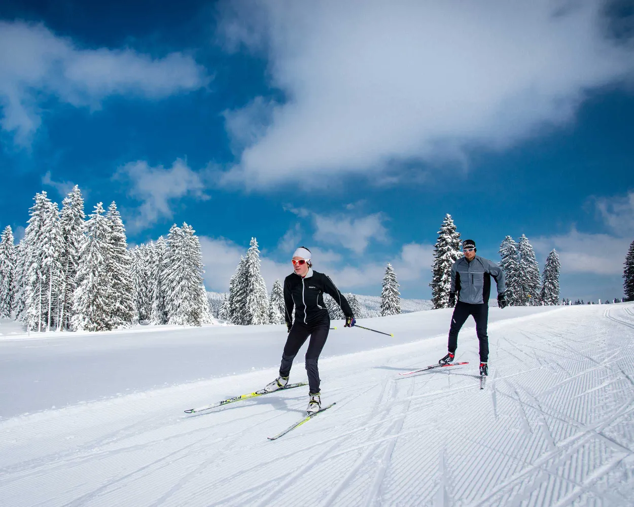
Sprawling across the high plateaus of the Vaud Jura near the French border, this extensive network traverses forests, meadows, and gentle ridges. The area is known for its music box heritage and offers one of the region's most substantial Nordic trail systems.
 76.5 km
Learn more on
snow.myswitzerland.com
and on
schweizmobil.ch
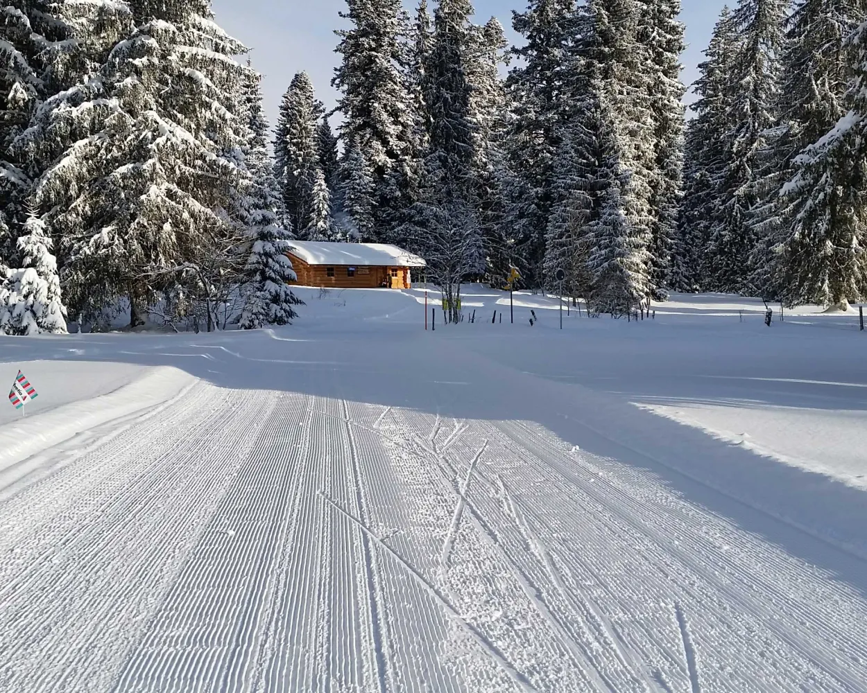
This moderately difficult trail takes you through forests and pastures, in the heart of the Plateau des Granges and the protected area of the Mouille de La Vraconnaz. Starts and ends at the Hôtel-restaurant de La Grand’Borne.
35.3 kmTour published by:
SwitzerlandMobility
Learn more on
snow.myswitzerland.com
and on
schweizmobil.ch
Cross-country skiers in the valley frequently say that, if there is a stiff breeze, you simply need to open your arms to be propelled along to Ponts-de-Martel. Although this image raises a smile, it’s true; the route is far more enjoyable when crossed from East to West.
59.1 kmTour published by:
SwitzerlandMobility
Learn more on
snow.myswitzerland.com
and on
schweizmobil.ch
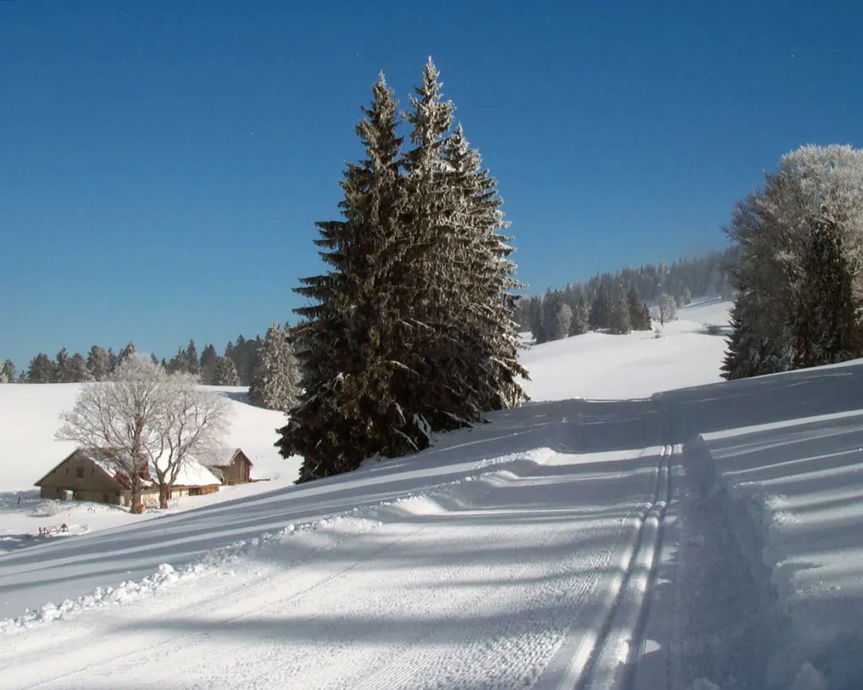
As a reward for the effort you have already made, the Mont Racine Trail offers a magnificent panoramic view over the Alps – but only after the seventh kilometre. In good conditions, you will have the impression you are skiing in paradise.
32.3 kmTour published by:
SwitzerlandMobility
Learn more on
snow.myswitzerland.com
and on
schweizmobil.ch
Set in the Jura highlands near the watchmaking town of La Chaux-de-Fonds, this area offers rolling terrain through open pastures and wooded sections. The high plateau provides reliable snow conditions and sweeping views across the Franco-Swiss border region.
18.2 kmLearn more on
snow.myswitzerland.com
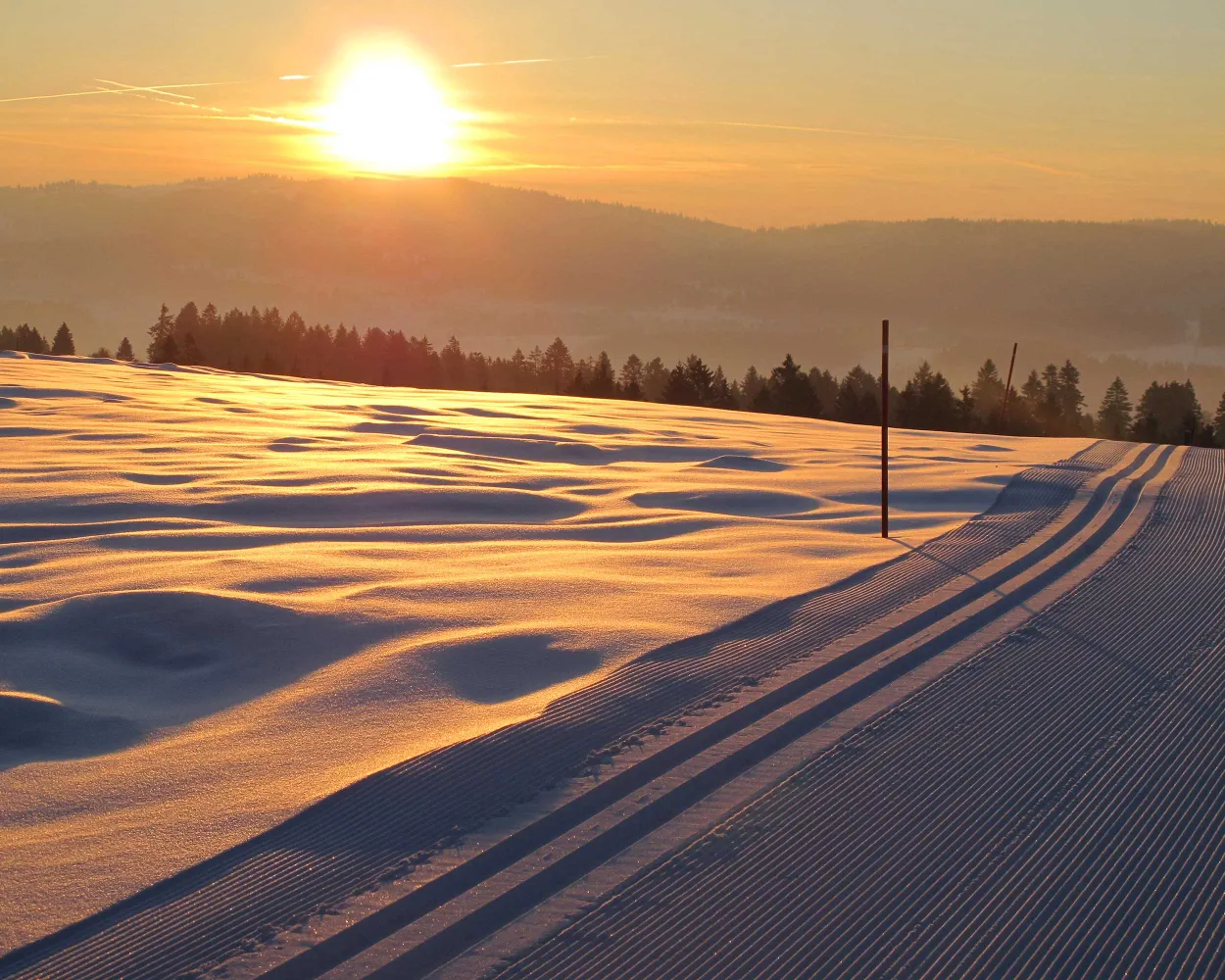
“Cross-country skiing at the gateway to the town”. Used to practising a physical activity during their mid-day break, many staff employed by the local watchmaking firms down tools and put on their skis.
17.3 kmTour published by:
SwitzerlandMobility
Learn more on
snow.myswitzerland.com
and on
schweizmobil.ch
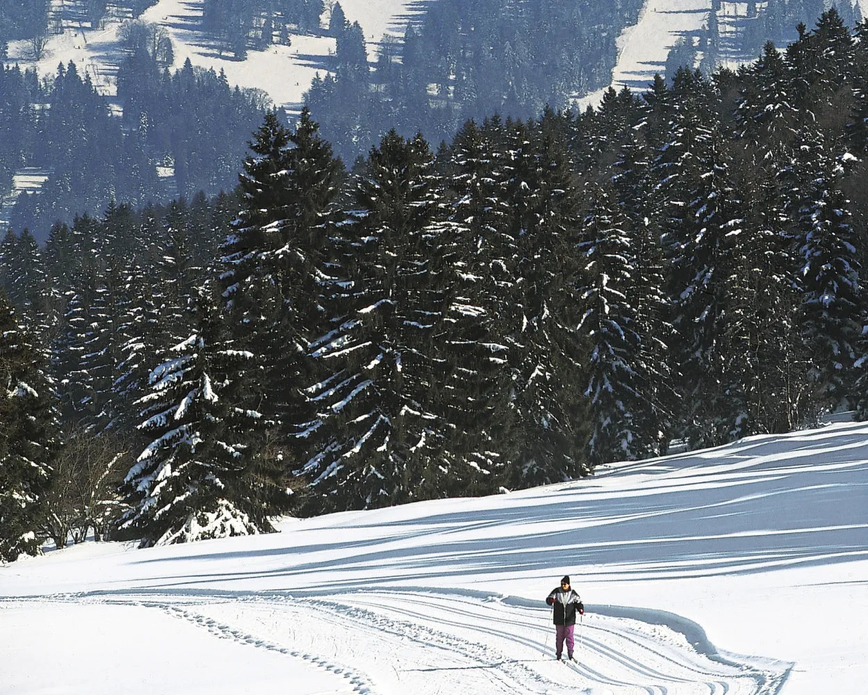
This magnificent route between the Cantons of Berne and Neuchâtel boasts a unique panorama over the plateau and the Alps. On a clear day you can even see the peak of Mont Blanc in the far distance.
23.3 kmTour published by:
SwitzerlandMobility
Learn more on
snow.myswitzerland.com
and on
schweizmobil.ch
Winding through the forested hills of the Jorat plateau north of Lausanne, this area offers a respectable network of trails amid a peaceful woodland setting at moderate elevation.
12.7 kmLearn more on
cn-froideville.ch
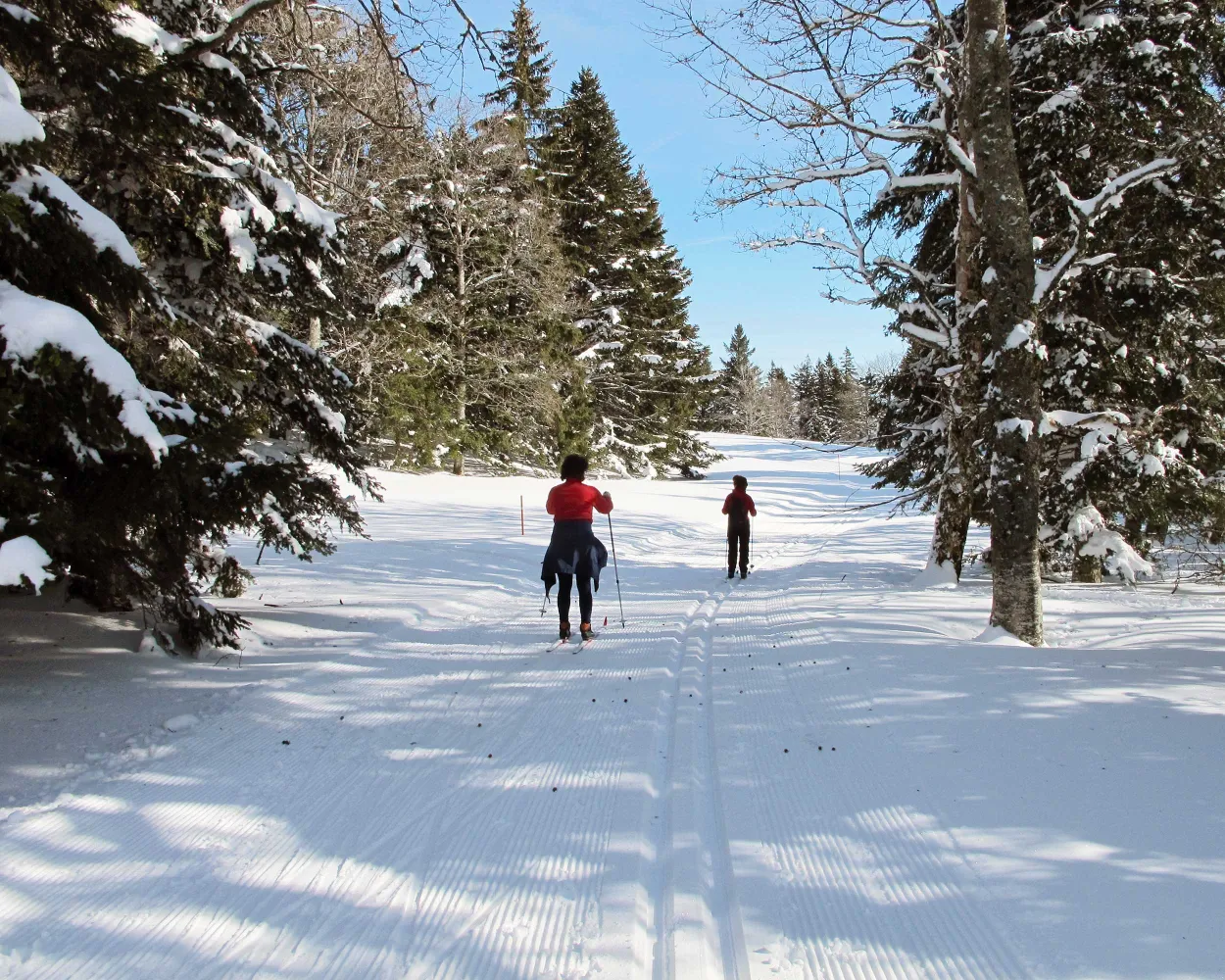
Switzerland's premier cross-country destination spans a broad high valley in the Vaud Jura, renowned for watchmaking and winter sports alike. The frozen lake and surrounding forests form one of the country's most expansive Nordic domains, drawing enthusiasts from across Europe.
161.8 kmLearn more on
snow.myswitzerland.com
and on
schweizmobil.ch
Set in the Jura mountains near the UNESCO-listed watchmaking city, this compact area provides a gateway to Nordic skiing amid pastoral highland scenery. The rolling terrain and open meadows characterise this modest network suitable for shorter outings.
4.6 kmLearn more on
snow.myswitzerland.com
Much more on ovunta.com/en/map



